Plizio Visual Lab
Cain
ℹ️Practical info — Cain
▾
🌤 Weather — 5 days
📍 Nearby
Sights nearby
💡 Tips
- Engage respectfully with the local farming community, as agriculture is the heart of Cain.
- Bring insect repellent, especially if you plan to walk near the agricultural fields.
- Public transport is limited; arranging a private driver from nearby hubs is advisable.
- Cash is essential, as digital payments are generally not accepted.
🍽 Food
Enjoy dishes cooked with vegetables harvested on the same day by local families.
Fried or roasted plantains are easily found at small roadside stalls.
A sweet, filling treat sometimes baked by local households.
🛍 Shopping · 🧘 Quiet spots
Buy fresh cassava, eddoes, or greens directly from the growers.
Small-batch artisanal food products occasionally sold from homes.
Walk along the edges of the active agricultural areas for a quiet, pastoral view.
Take a peaceful stroll through the settlement during the late afternoon.
Water temperature…
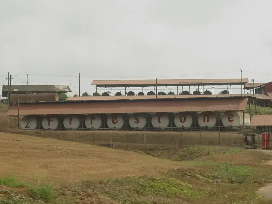
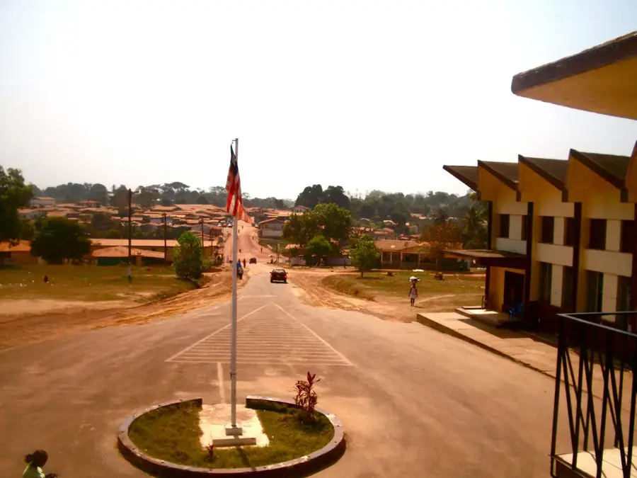
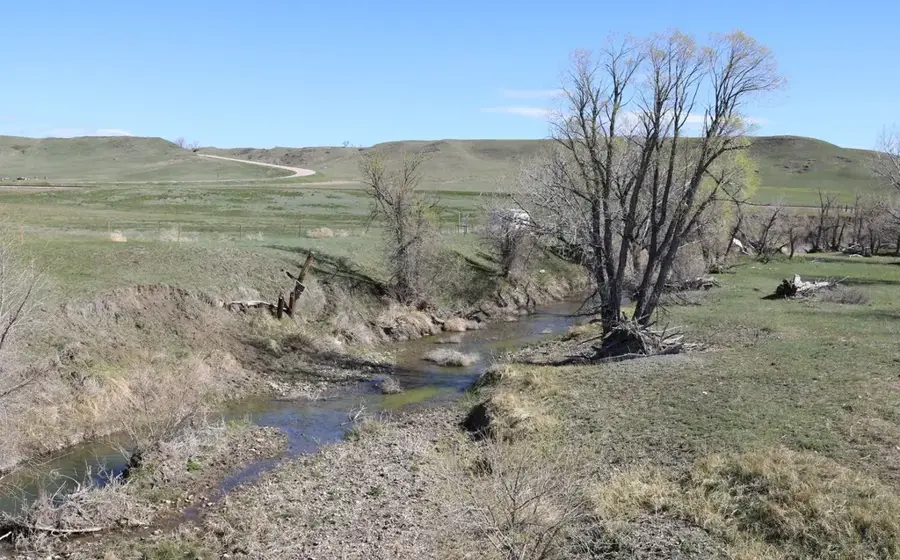
Cain is a rural settlement located in Margibi County, a region that serves as a cornerstone of Liberia's agricultural sector. The area is characterized by vast rubber plantations and smallholder farms where rice and cassava are the primary crops. The layout of the village is typical of the humid tropical environment, with houses integrated into the lush greenery of the coastal hinterland. Margibi County's proximity to the Roberts International Airport gives Cain a strategic location within the national transport network. Life here revolves around communal markets and agricultural activities, reflecting the resilience and traditions of the local population. For those exploring the region, Cain has a glimpse into the authentic rural landscape of West Africa, defined by dense vegetation, iron-rich soils, and a slow-paced, welcoming atmosphere.
- Location: Liberia
- Nearby: Gable (12 km)
Best time to visit & climate
The most pleasant time to visit is Jan, Feb, Dec.
| Jan | Feb | Mar | Apr | May | Jun | Jul | Aug | Sep | Oct | Nov | Dec | |
|---|---|---|---|---|---|---|---|---|---|---|---|---|
| Avg °C | 26 | 27 | 27 | 27 | 27 | 25 | 24 | 24 | 25 | 25 | 26 | 26 |
| Rain mm | 19 | 44 | 80 | 104 | 158 | 267 | 234 | 337 | 269 | 232 | 111 | 47 |
Geography
Facts
- Population: 8,000 (2022 estimate).
- Coordinates: 7°50′N 9°40′W (approximate).
- Elevation: 300 meters (984 feet).
- Annual rainfall: 2,600 mm (102 inches).
- Distance to Voinjama: 50 km (31 miles).
- The town is not connected to the national power grid.
Explore nearby
Notable places around
Route planner — Car & Motorhome
Where do you start? We build the route here, with stops and country notes along the way.
© OpenStreetMap contributors · OpenRouteService
Frequently asked questions
Where is Cain located in Liberia?
Are there any tourist attractions there?
What is the main source of income for residents?
How are the transport links?
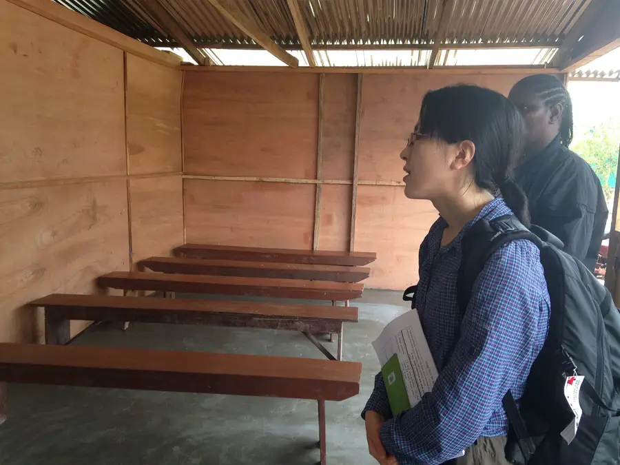
Are there basic facilities like schools?
Cain: where is it located?
Cain: when is the best time to visit?
Cain: why is it worth visiting?

Nearby cities


History & landmarks
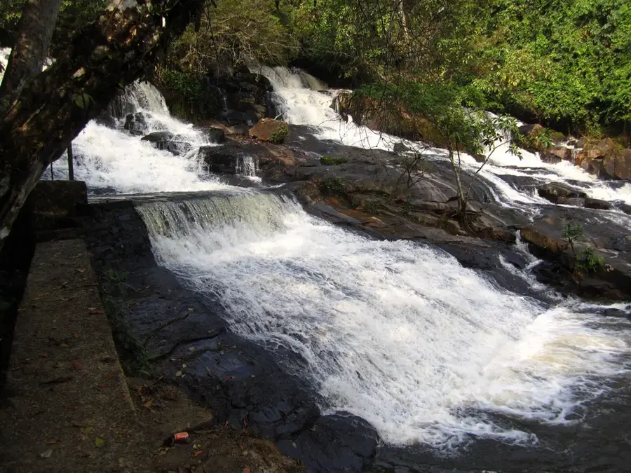
Nature
More places