Plizio Visual Lab
Daugava Bend Ridge
Weather…
Water temperature…
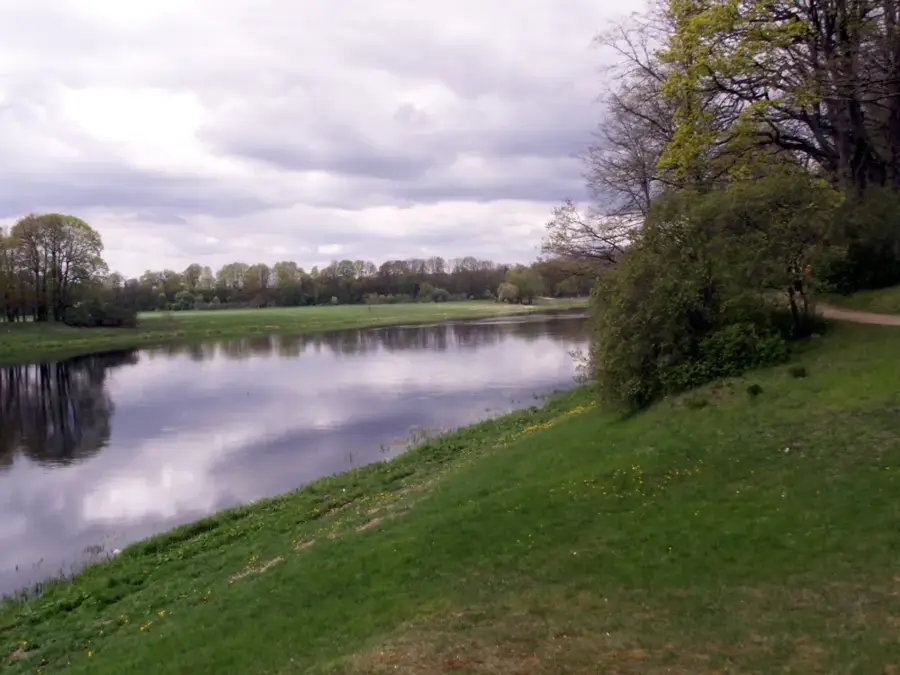
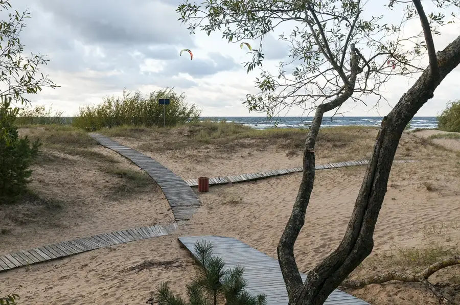
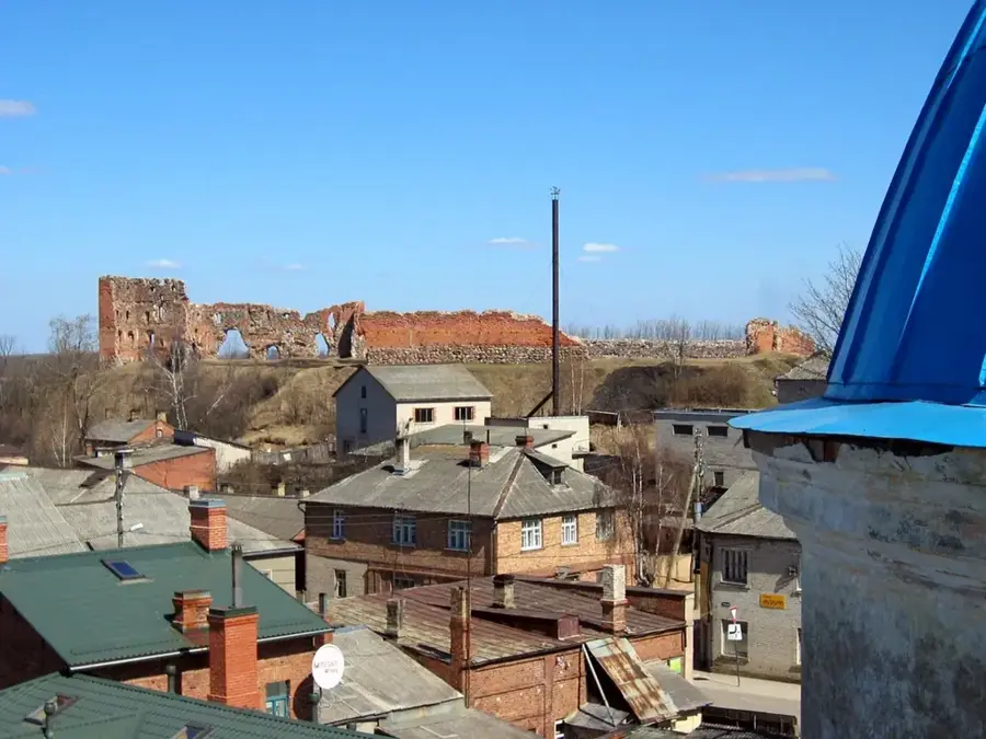
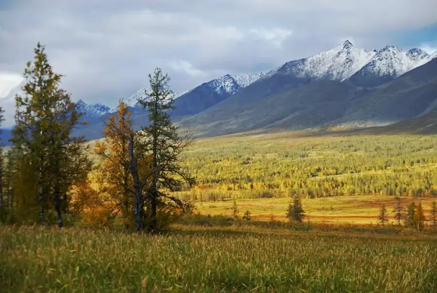
The Daugava Bend Ridge (Daugavas loki) is an extraordinary geomorphological formation in the Daugava River valley between Krāslava and Naujene. The region is defined by nine massive river bends that have carved deeply into the Quaternary deposits of the Augstzeme Highland. In some areas, the riverbanks rise steeply up to 50 meters above the water level, creating spectacular erosion slopes and terraces. Geologically, these incisions reveal layers of sandstone and clay that provide critical data on the post-glacial development of the river system. Historically, this territory served as a strategic corridor for trade routes between the Baltic and Black Seas, evidenced by numerous hillforts such as the Dinaburg hillfort. Today, the region is protected as a nature park and is included on Latvia's tentative UNESCO World Heritage list due to its unique landscape aesthetics and biological significance. The flora features rare orchid species and ancient oak forests thriving along the steep slopes. Tourism in the area focuses on boating and cycling, offering an immersive experience of the untouched nature of Latvia's 'river of fate.'
- Location: Latvia
- Top sights: Daugava river bends nature park · Slutišķu vecticībnieku māja · Slutišķu krauja
- Nearby: Ilūkste (37 km)
Best time to visit & climate
The most pleasant time to visit is Jun–Aug.
| Jan | Feb | Mar | Apr | May | Jun | Jul | Aug | Sep | Oct | Nov | Dec | |
|---|---|---|---|---|---|---|---|---|---|---|---|---|
| Avg °C | -7 | -7 | -2 | 6 | 12 | 16 | 18 | 17 | 12 | 5 | 1 | -4 |
| Rain mm | 50 | 43 | 44 | 45 | 74 | 86 | 98 | 86 | 59 | 71 | 62 | 51 |
📋 Practical info
Geography
Facts
- The nature park covers an area of approximately 120 square kilometers.
- There are nine characteristic major bends along the Daugava River.
- The highest erosion slopes reach heights of over 40 meters.
- The park was established in 1990 to protect the unique landscape.
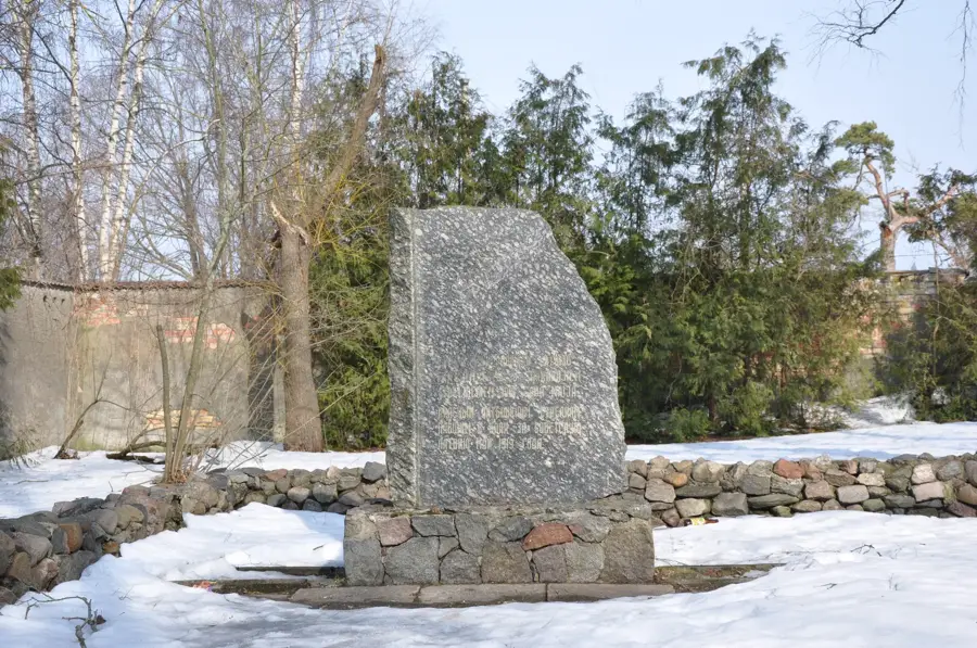
- Ten significant historical hillforts are located within the territory.
- The region is part of the European Union's Natura 2000 network.
Explore nearby
Notable places around
Route planner — Car & Motorhome
Where do you start? We build the route here, with stops and country notes along the way.
© OpenStreetMap contributors · OpenRouteService
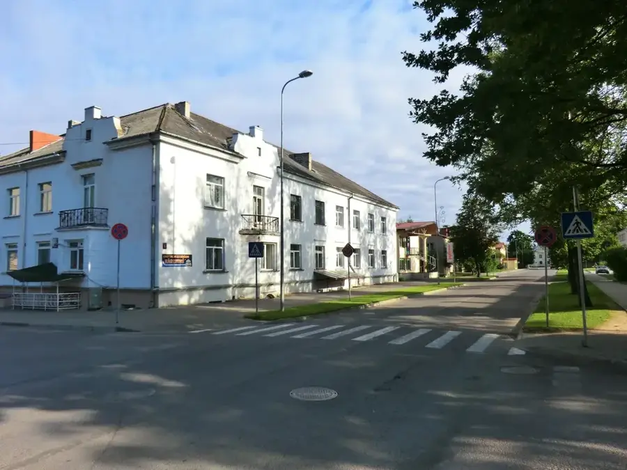
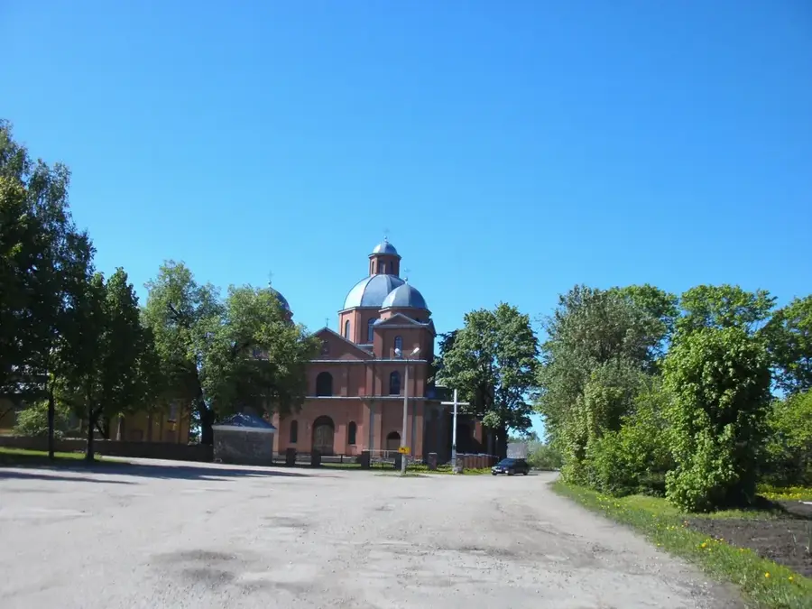
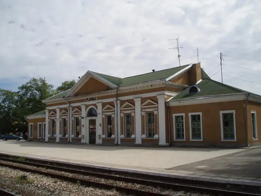
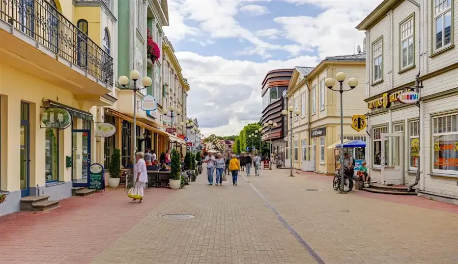
Sights in the town Daugava Bend Ridge (4)
Sights nearby
Frequently asked questions
What are the 'Daugavas loki'?
Is there an observation tower?
Can the bends be explored by boat?
Is the area a UNESCO World Heritage site?
Are there hiking trails available?
Daugava Bend Ridge: where is it located?
Daugava Bend Ridge: what is there to see?
Daugava Bend Ridge: when is the best time to visit?
Daugava Bend Ridge: why is it worth visiting?

Nearby cities