Plizio Visual Lab
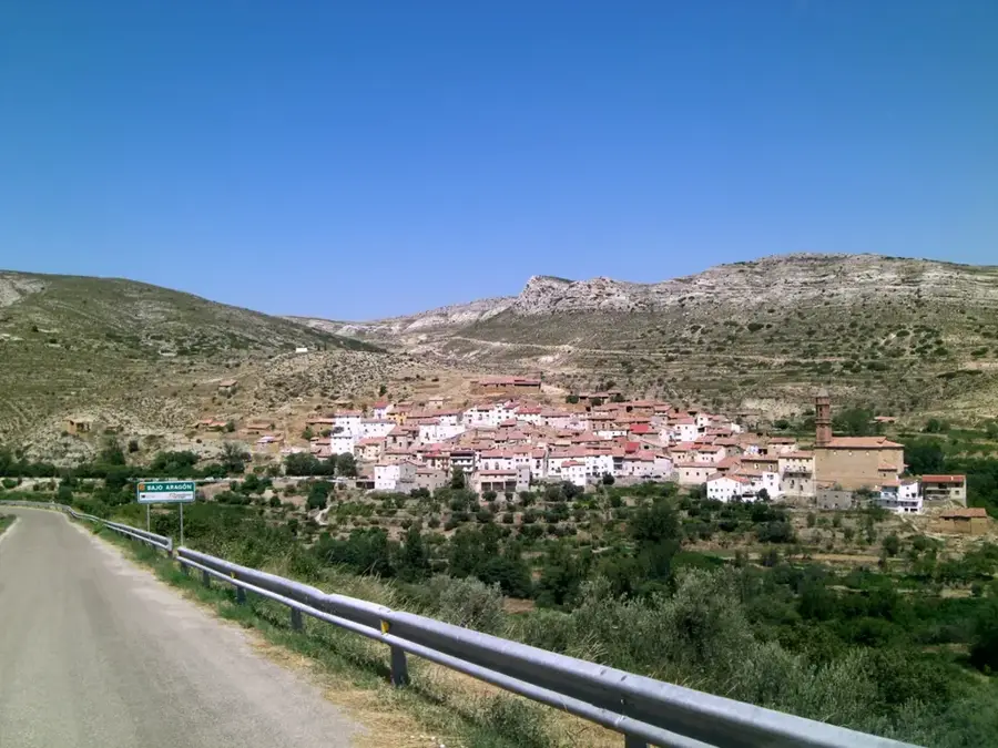
Annamite Range (Laos)
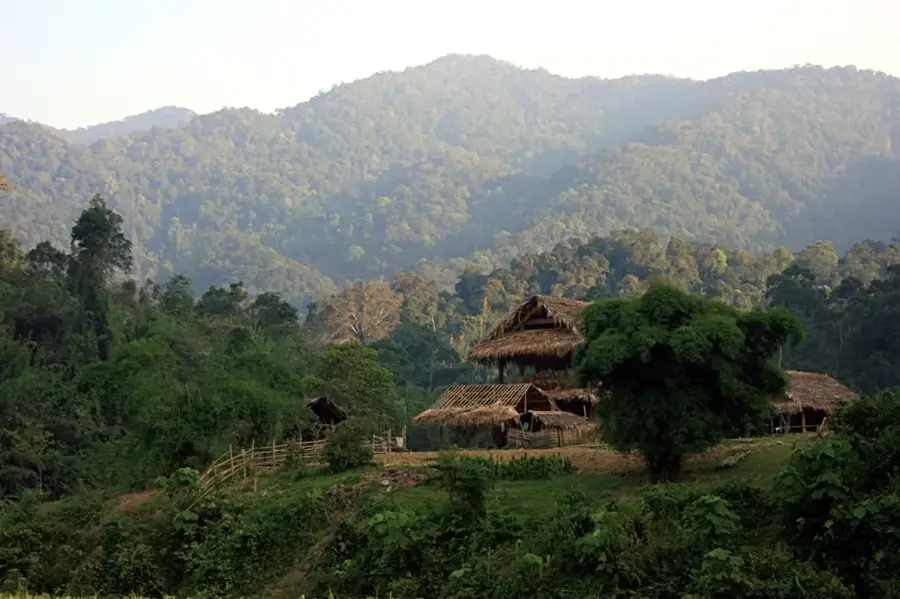
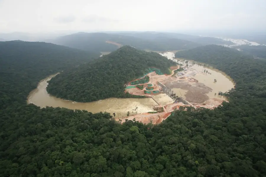
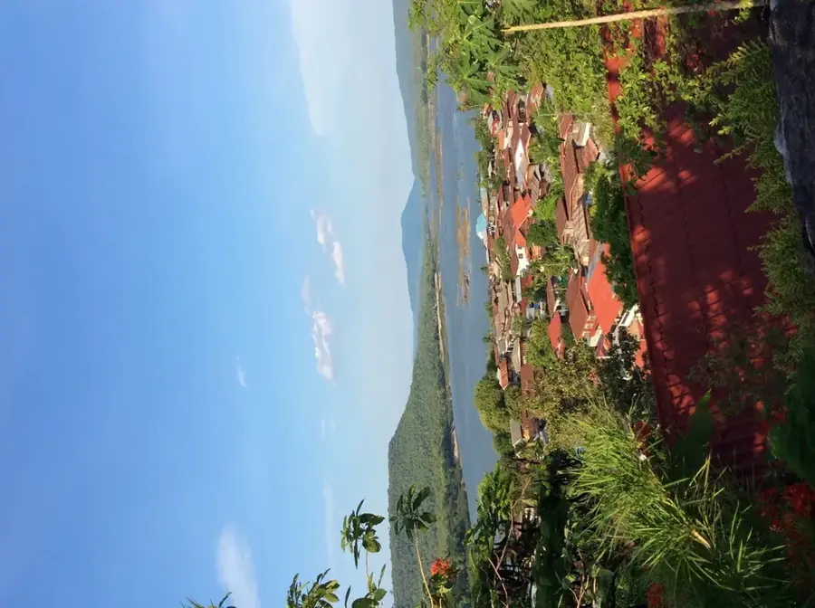
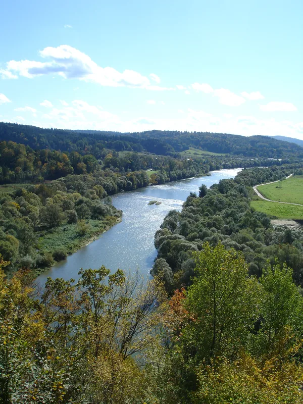
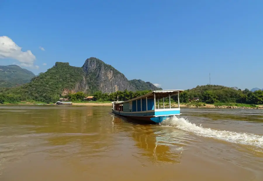
The Annamite Range, also known as the Truong Son Mountains, stretches over 1,100 kilometers along the border between Laos and Vietnam. This massive mountain chain acts as a significant climatic and geographic barrier, intercepting moisture-laden monsoons from the South China Sea and creating distinct weather patterns in the two countries. Peaks in the central section exceed 2,500 meters, with Phou Bia being the highest point in Laos. Geologically, the range is composed of a mix of limestone karst and granite, leading to the formation of extensive cave systems and spectacular rock formations. The region is one of the world's most critical biodiversity hotspots, harboring rare species such as the Saola, discovered as recently as 1992. Historically, the range gained strategic importance during the Vietnam War as part of the Ho Chi Minh Trail, which threaded through its dense jungles and steep passes. Today, efforts focus on preserving this unique ecosystem against the threats of deforestation and poaching.
- Location: Laos
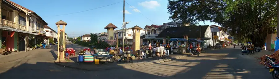
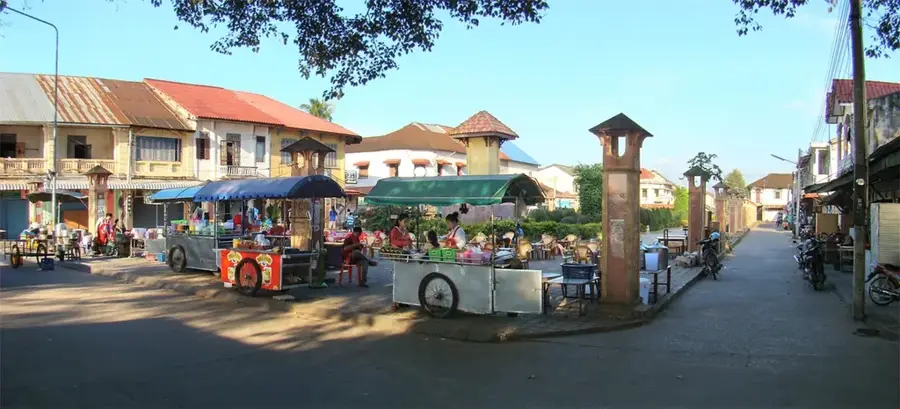
- Nearby: Tha Khaek Loop (33 km)
Best time to visit & climate
The most pleasant time to visit is Jan, Nov, Dec.
| Jan | Feb | Mar | Apr | May | Jun | Jul | Aug | Sep | Oct | Nov | Dec | |
|---|---|---|---|---|---|---|---|---|---|---|---|---|
| Avg °C | 21 | 24 | 28 | 30 | 29 | 28 | 27 | 27 | 27 | 25 | 23 | 20 |
| Rain mm | 7 | 16 | 49 | 75 | 194 | 226 | 353 | 343 | 237 | 92 | 15 | 7 |
📋 Practical info
Geography
Facts
- Total length of approximately 1,100 kilometers
- Highest peak in Laos is Phou Bia at 2,819 meters
- Home to the rare Saola, discovered in 1992
- Served as a key part of the Ho Chi Minh Trail
- Composed largely of limestone karst and granite formations
- Acts as a major climatic divide between Laos and Vietnam
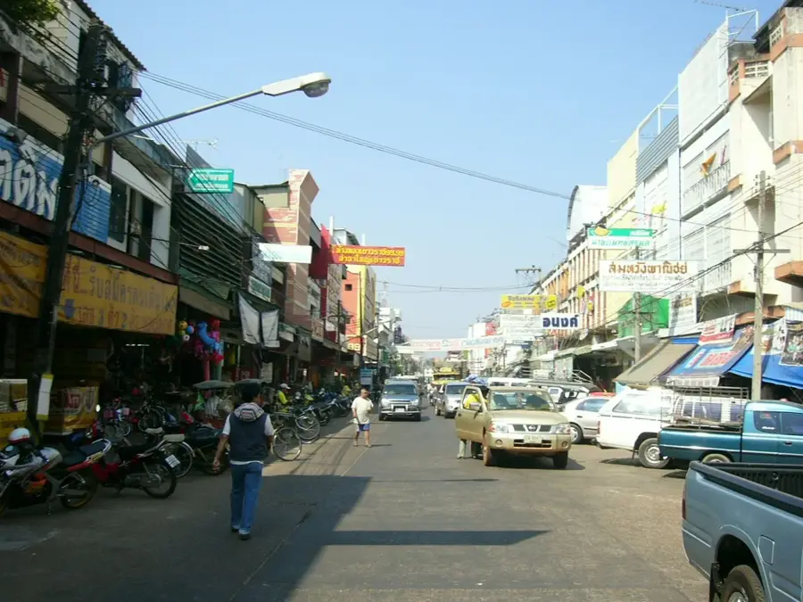
Explore nearby
Notable places around
Route planner — Car & Motorhome
Where do you start? We build the route here, with stops and country notes along the way.
© OpenStreetMap contributors · OpenRouteService
Sights nearby
Frequently asked questions
What characterizes the Annamite Range?
What rare animals live there?
Is trekking possible?
How is the weather in the mountains?
Are there road connections to Vietnam?
Annamite Range (Laos): where is it located?
Annamite Range (Laos): when is the best time to visit?
Annamite Range (Laos): why is it worth visiting?

Nearby cities
History & landmarks

Nature
More places