Plizio Visual Lab
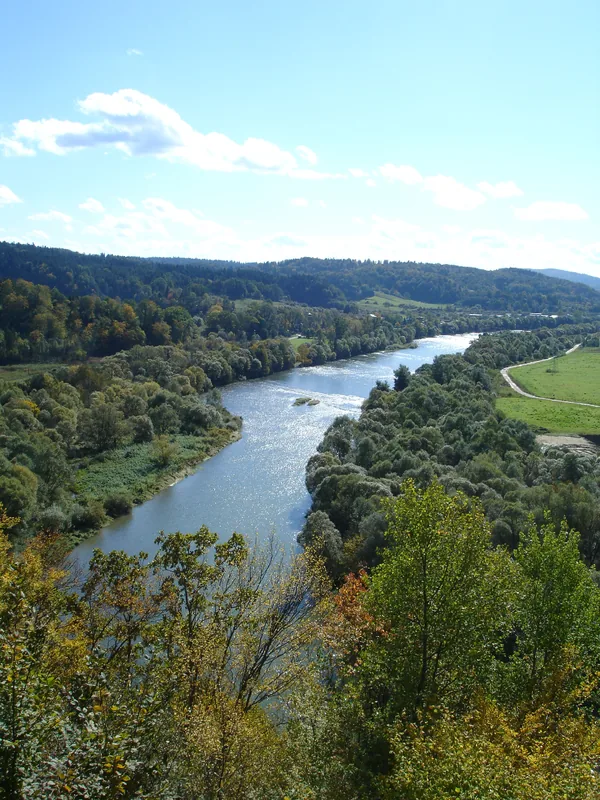
Nam San River
Weather…
Water temperature…
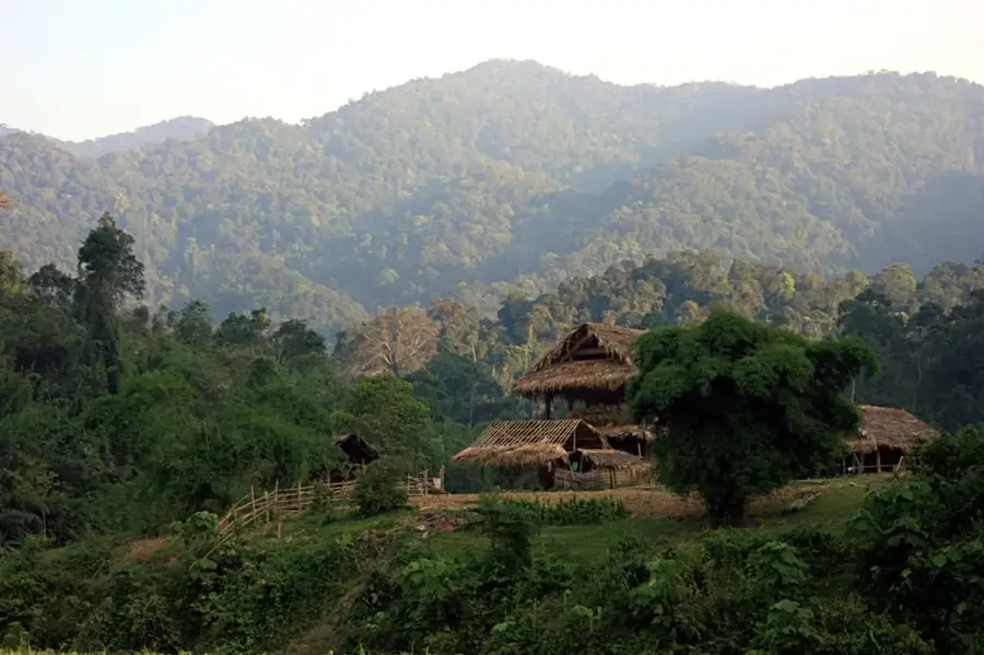
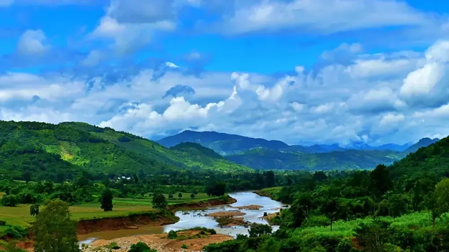
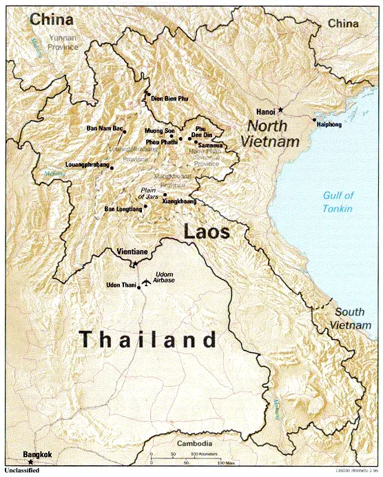
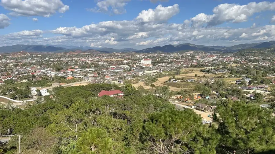
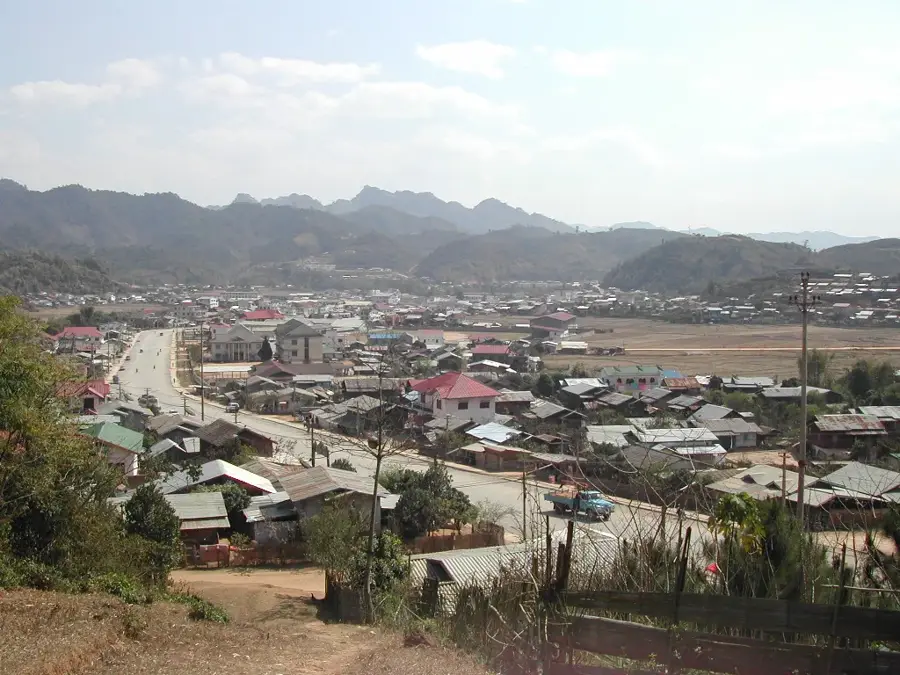
The Nam San River is a significant waterway in central Laos and a major left-bank tributary of the Mekong River. It originates in the rugged highlands of Xaisomboun Province and flows southward through Bolikhamsai Province before reaching its confluence with the Mekong. The river's course is characterized by deep valleys and numerous rapids, making it geographically striking but unsuitable for large-scale navigation. In recent decades, the Nam San has gained economic importance due to its high hydroelectric potential, leading to the development of several dams such as Nam San 3A and 3B. These hydropower projects are vital for national electricity generation and regional export, though they have altered the river's natural flow and local ecosystems. The communities living along the riverbanks traditionally rely on fishing and agriculture supported by the fertile alluvial soils. The surrounding landscape remains dominated by dense forests and steep mountain slopes, hosting a diverse range of flora and fauna.
- Location: Laos
- Nearby: Nam Et-Phou Louey (55 km)
Best time to visit & climate
The most pleasant time to visit is Jan, Feb, Nov.
| Jan | Feb | Mar | Apr | May | Jun | Jul | Aug | Sep | Oct | Nov | Dec | |
|---|---|---|---|---|---|---|---|---|---|---|---|---|
| Avg °C | 19 | 22 | 25 | 28 | 28 | 27 | 26 | 26 | 25 | 24 | 22 | 19 |
| Rain mm | 10 | 13 | 39 | 65 | 172 | 180 | 271 | 298 | 218 | 97 | 21 | 9 |
📋 Practical info
Geography
Facts
- The Nam San is a major left-bank tributary of the Mekong River.
- Its source is located in the highlands of Xaisomboun Province.
- The river flows through Xaisomboun and Bolikhamsai provinces.
- It features the Nam San 3A and 3B hydroelectric power projects.
- The river valley is marked by rugged terrain and dense vegetation.
- The confluence with the Mekong is situated near the town of Pakxan.
Explore nearby
Notable places around
Route planner — Car & Motorhome
Where do you start? We build the route here, with stops and country notes along the way.
© OpenStreetMap contributors · OpenRouteService
Sights nearby
Frequently asked questions
Where does the Nam San River flow?
What activities are possible at the river?
What is the landscape like along the Nam San?
Is the region touristically well-known?
Are there waterfalls on the Nam San River?
Nam San River: where is it located?
Nam San River: when is the best time to visit?
Nam San River: why is it worth visiting?

Nearby cities

More places