Plizio Visual Lab
Kajiado
ℹ️Practical info — Kajiado
▾
🌤 Weather — 5 days
📍 Nearby
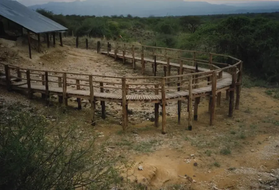
Sights nearby
💡 Tips
- Respect the local Maasai culture; always ask for permission before taking photographs of people.
- Bring a scarf during dry seasons, as the dust along the main Nairobi-Namanga road can be intense.
- Try to visit during a scheduled market day to experience the spirited local trade.
- Use the town as a convenient rest and resupply stop when traveling down to the Tanzanian border.
🍽 Food
Roasted meat, best enjoyed fresh at local butcheries that have an attached eating area.
The staple maize meal served with collard greens, available at any basic local diner.
A sweet, milky, and spiced tea that is a popular warming drink in local cafes.
🛍 Shopping · 🧘 Quiet spots
Look for intricate beadwork, traditional shuka cloths, and authentic local handicrafts.
A bustling and culturally rich experience on designated market days, well worth observing.
Take a short walk to the edge of town for peaceful sunsets over the Rift Valley landscape.
The spacious courtyards of local churches often provide a quiet, shaded spot to rest during the day.
Water temperature…
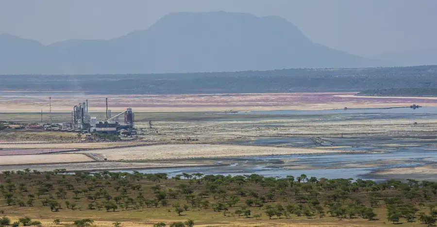
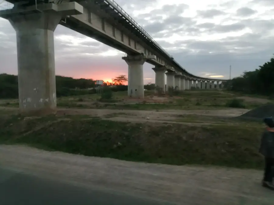
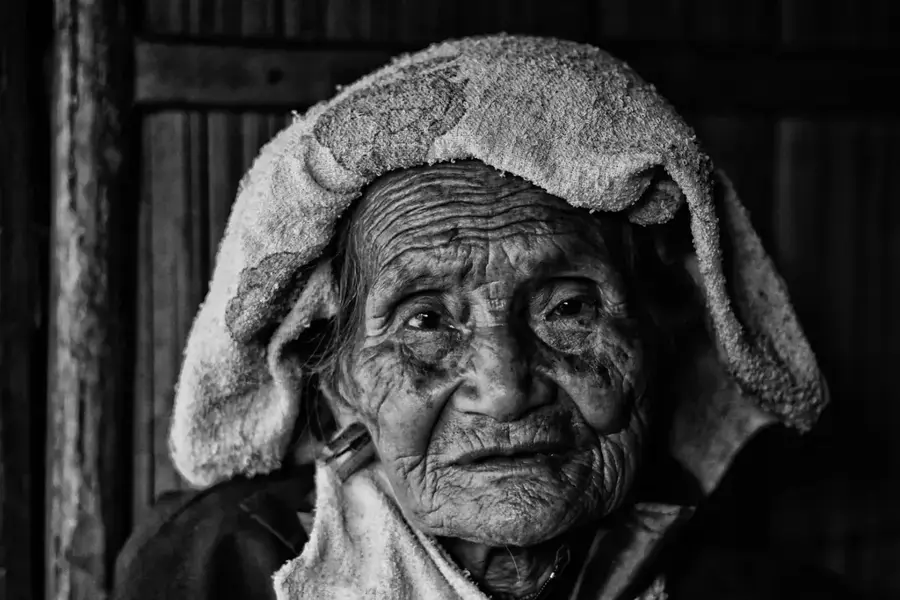
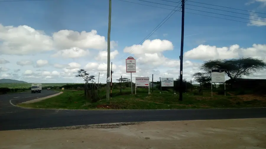
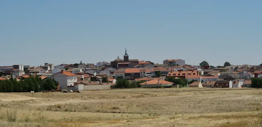
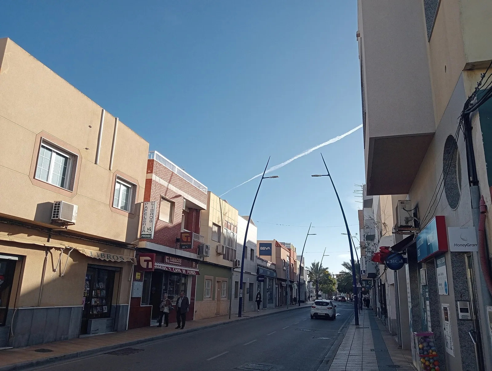
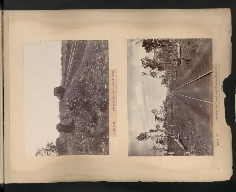
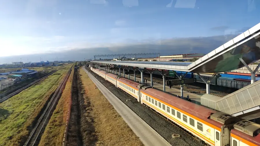
Kajiado is a town located in southern Kenya and serves as the administrative headquarters of Kajiado County, about 80 kilometers south of Nairobi. Traditionally, this region is the heartland of the Maasai people, whose culture and pastoralist lifestyle significantly influence the town's social and economic identity even today. Geographically, Kajiado sits on a plateau near the Athi-Kapiti plains, giving the town a semi-arid climate and expansive savanna landscapes. The local economy is primarily based on livestock trading, soda ash mining near Lake Magadi, and more recently, a growing real estate sector due to its proximity to the capital. The town is a key stop on the railway line connecting the Magadi soda works to the main network and is situated along the highway to Namanga at the Tanzanian border. Nearby protected areas like Amboseli National Park are central to the regional tourism industry. Kajiado is rapidly transitioning from a rural outpost into a modern urban center that balances tradition with contemporary growth.
- Location: Kenya
- Nearby: Athi River (43 km)
- Population: ~24.678 (2022)
Best time to visit & climate
The most pleasant time to visit is Jul–Sep.
| Jan | Feb | Mar | Apr | May | Jun | Jul | Aug | Sep | Oct | Nov | Dec | |
|---|---|---|---|---|---|---|---|---|---|---|---|---|
| Avg °C | 21 | 22 | 22 | 21 | 20 | 19 | 19 | 20 | 21 | 21 | 21 | 21 |
| Rain mm | 41 | 33 | 64 | 104 | 63 | 15 | 10 | 14 | 14 | 46 | 81 | 73 |
Geography
Facts
- Kajiado is situated at an elevation of approximately 1,732 meters.
- The town is located about 80 kilometers south of Kenya’s capital, Nairobi.
- The Magadi soda ash factory in the region was established in 1911.
- Amboseli National Park in Kajiado County covers 392 square kilometers.
- The area receives an average annual rainfall of approximately 500 mm.
- Kajiado is officially part of the Nairobi Metropolitan Region.
Explore nearby
Notable places around
Route planner — Car & Motorhome
Where do you start? We build the route here, with stops and country notes along the way.
© OpenStreetMap contributors · OpenRouteService
Frequently asked questions
What can you experience in Kajiado?
Is Kajiado far from Nairobi?
What natural phenomenon is in Kajiado County?
What is the typical food in Kajiado?
Can you visit Maasai villages?
Kajiado: where is it located?
Kajiado: when is the best time to visit?
Kajiado: why is it worth visiting?

Nearby cities


History & landmarks


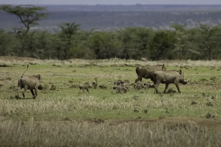
Nature
More places