Plizio Visual Lab
Kangundo
ℹ️Practical info — Kangundo
▾
🌤 Weather — 5 days
📍 Nearby
Sights nearby
💡 Tips
- Market days are spirited and busy; navigating the crowds is part of the experience, but watch your belongings.
- Matatus (minibuses) to Tala and Machakos leave when full, not on a set schedule, so factor in waiting time.
- The surrounding hills offer great hiking, but it's advisable to hire a local guide as paths aren't clearly marked.
- Mornings are crisp and cool, while afternoons can be quite hot, making early starts best for outdoor activities.
🍽 Food
A must-try roasted meat at local butcheries that double as eateries; pick your meat and wait while it's roasted.
A comforting local favorite green gram stew available in most small roadside hotels (cafes).
Found sizzling on charcoal stoves along the main road, excellent for a quick snack.
🛍 Shopping · 🧘 Quiet spots
Excellent for sourcing fresh local vegetables, fruits, and grains directly from farmers.
Keep an eye out for women selling traditional hand-woven sisal baskets in the market area.
The church compound gives a peaceful, shaded retreat from the bustling town streets.
A walk towards the terraced farms on the outskirts provides a tranquil view of rural life.
Water temperature…
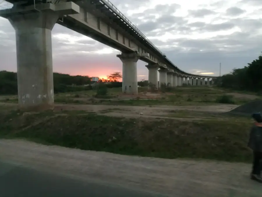
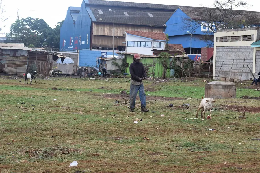
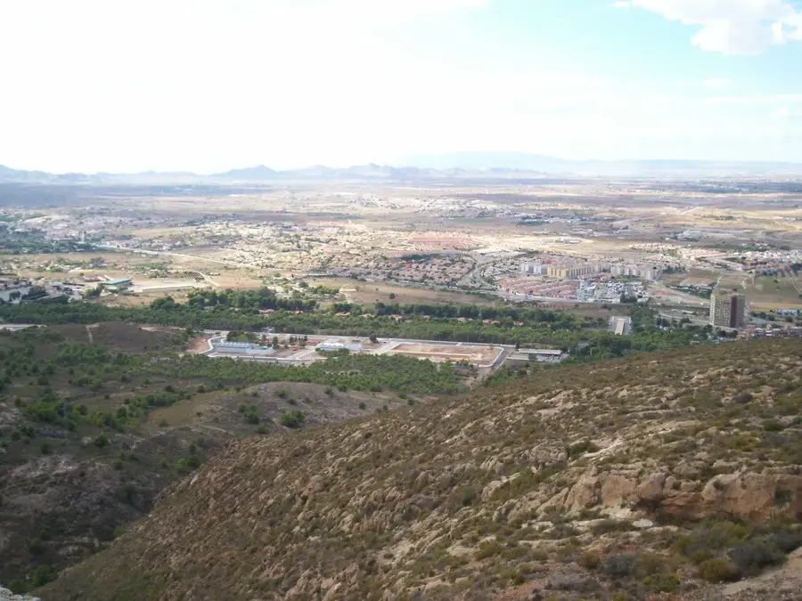
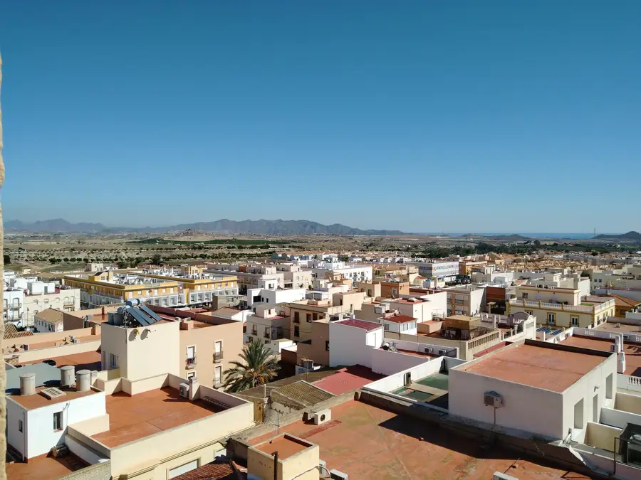
Kangundo is a historic town in Machakos County, eastern Kenya, located approximately 65 kilometers east of Nairobi. The region is part of the Kamba heartland and is geographically characterized by the Kanzalu Hills, which provide a moderate climate and fertile agricultural land. Historically, Kangundo was a significant center for early missionary work and education during the colonial period, with many established schools and churches dating back to that era. Today, the town serves as a major agricultural hub, particularly well-known for coffee production and fruit farming. Intensive cultivation in the surrounding countryside supplies much of the fresh produce sold in Nairobi's markets. Kangundo, alongside its twin town Tala, forms a spirited and growing urban corridor. The Kamba culture, famous for its intricate wood carvings and handicraft skills, is an integral part of Kangundo's social identity. Despite modern developments, the town maintains its role as a critical supply center for the local rural population.
- Location: Kenya
- Nearby: Machakos (22 km)
- Population: ~10.258 (2024)
Best time to visit & climate
The most pleasant time to visit is Jul–Sep.
| Jan | Feb | Mar | Apr | May | Jun | Jul | Aug | Sep | Oct | Nov | Dec | |
|---|---|---|---|---|---|---|---|---|---|---|---|---|
| Avg °C | 22 | 23 | 23 | 22 | 21 | 20 | 19 | 20 | 21 | 22 | 21 | 21 |
| Rain mm | 40 | 27 | 63 | 118 | 70 | 22 | 16 | 21 | 19 | 67 | 113 | 80 |
Geography
Facts
- Kangundo is situated at an average elevation of approximately 1,500 meters.
- The town, together with Tala, constitutes a major commercial hub in northern Machakos.
- Coffee is the primary commercial agricultural export from the Kangundo area.
- The Kanzalu Hills provide scenic views and attract local nature enthusiasts.
- Kangundo was one of the earliest sites in eastern Kenya to host modern missionary schools.
- The town serves as a vital source of fresh fruits and vegetables for the Nairobi metropolitan area.
Explore nearby
Notable places around
Route planner — Car & Motorhome
Where do you start? We build the route here, with stops and country notes along the way.
© OpenStreetMap contributors · OpenRouteService
Frequently asked questions
What defines the landscape of Kangundo?
What is mainly grown there?
How far is it from Nairobi?
Which tribe lives here?
Is the town safe for visitors?
Kangundo: where is it located?
Kangundo: when is the best time to visit?
Kangundo: why is it worth visiting?

Nearby cities


History & landmarks

More places