Plizio Visual Lab
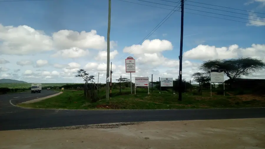
Athi River

ℹ️Practical info — Athi River
▾
🌤 Weather — 5 days
📍 Nearby
Sights nearby
💡 Tips
- Avoid traveling on Mombasa Road during rush hours due to massive traffic jams.
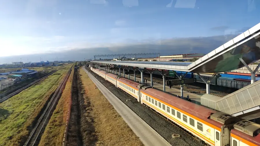
- Use the SGR train station for quick, traffic-free access to Nairobi or Mombasa.
- Keep your car windows rolled up in heavy traffic to avoid dust kicked up by industrial trucks.
- Visit the nearby Kitengela Glass Art Center for a highly unique local excursion.
🍽 Food
Roasted goat meat, found in its most authentic form at the numerous roadside grills.
The Kenyan staple, cheap and filling at small casual local eateries.
Fried dough bites, which make an excellent quick breakfast from street vendors in the morning.
🛍 Shopping · 🧘 Quiet spots
Purchase artistic, recycled glassware directly from the creators at Kitengela.
The main town market features a large, cheap selection of fresh fruits and vegetables.
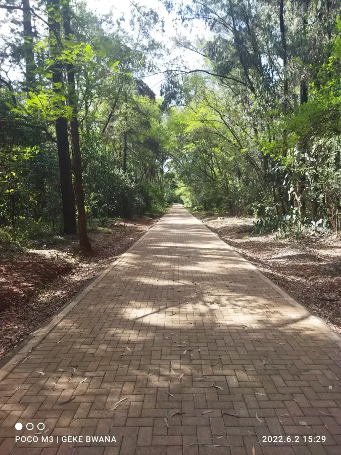
The area around the adventurous suspension bridge at Kitengela is surprisingly peaceful.
Seek out the grounds just outside the industrial zone for a relaxing, quiet walk.
Water temperature…
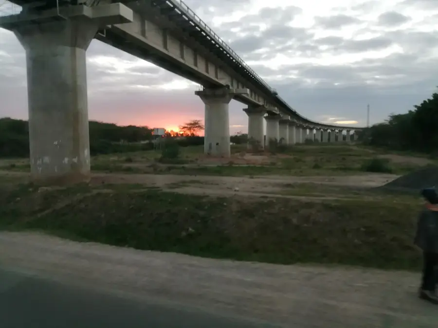
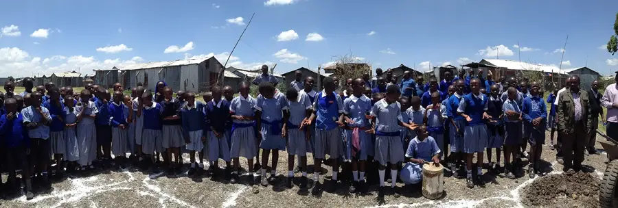
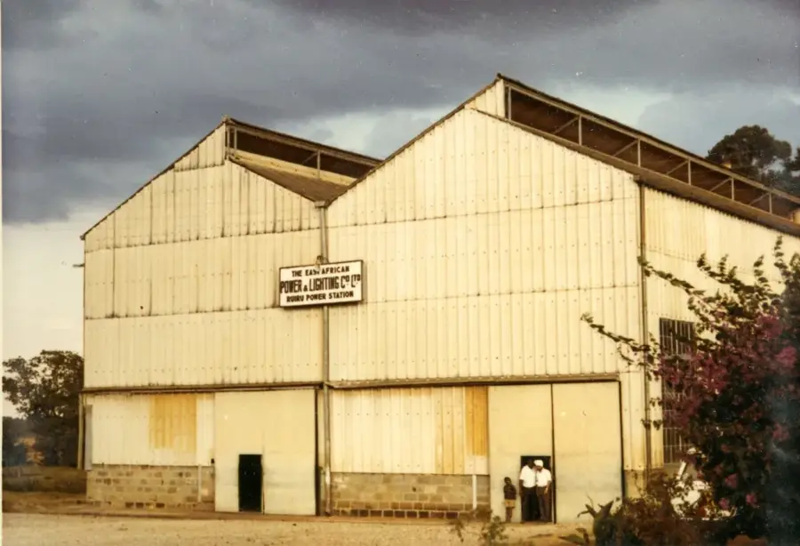
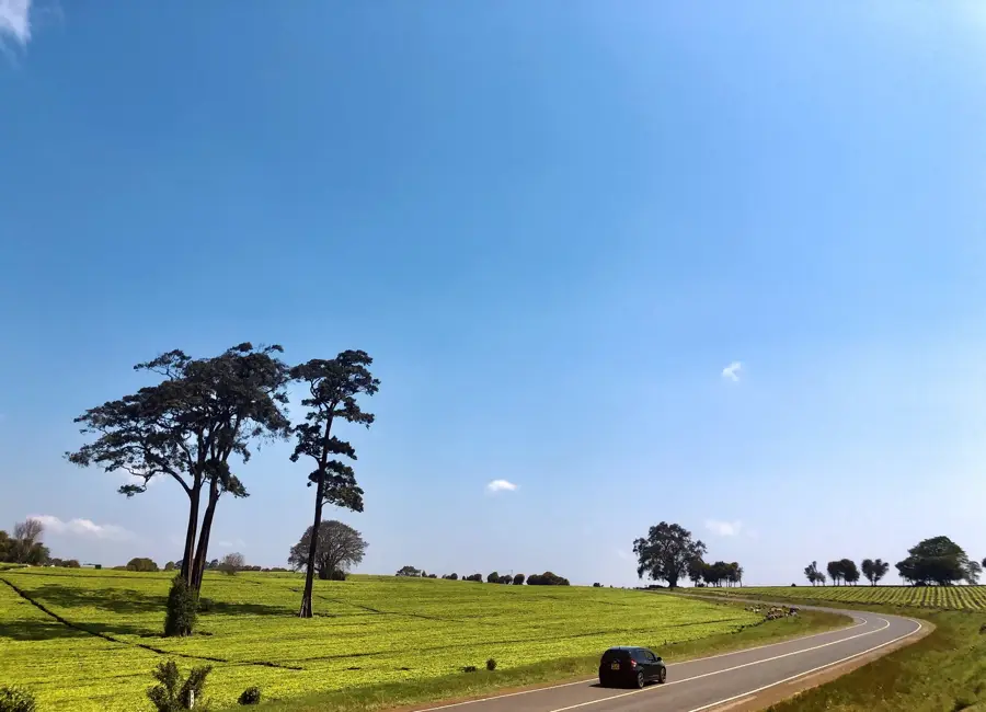
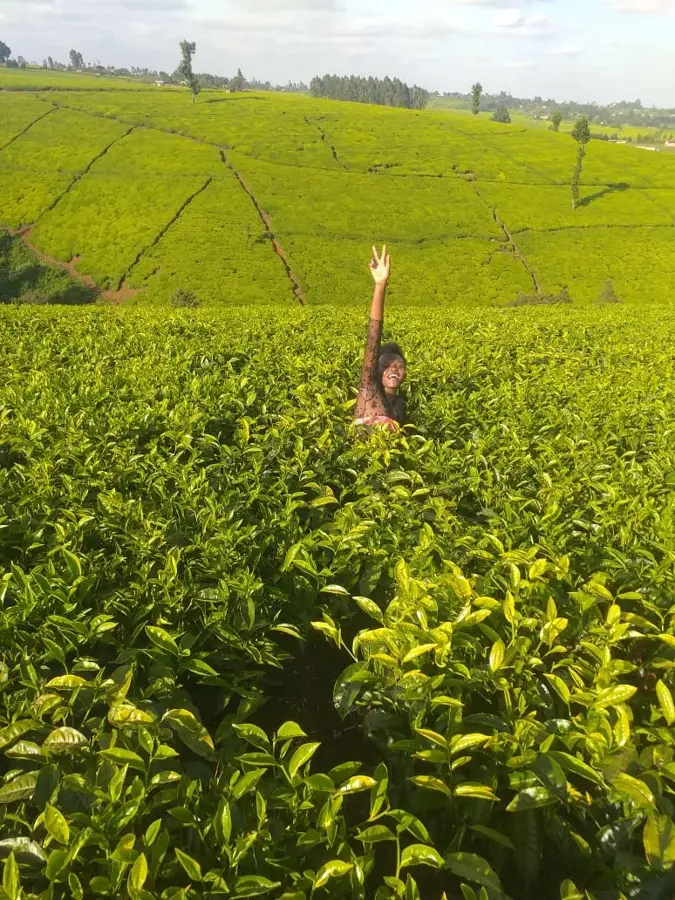
Athi River, also widely known as Mavoko, is a fast-growing industrial hub located in Machakos County, southeast of Nairobi. The town derives its name from the Athi River, which flows through its territory and forms a natural boundary with the Nairobi National Park. As the industrial powerhouse of the region, Athi River is home to numerous cement manufacturing plants, steel mills, and the national Export Processing Zone (EPZ), making it a critical driver of Kenya's economy. Historically, the town served as a vital station on the original Kenya-Uganda railway line, fostering its early growth as a logistical center. Geographically, it sits on a semi-arid plain at an elevation of roughly 1,500 meters, resulting in a warm and dry climate. The recent introduction of the Standard Gauge Railway (SGR) and its proximity to Jomo Kenyatta International Airport have further accelerated urban development. Today, Athi River is a cosmopolitan melting pot, attracting a diverse workforce and sparking a boom in large-scale residential housing projects.
- Location: Kenya
- Top sights: Athi River Super Bridge · Gulf Energy Thermal Power Station
- Nearby: Ruiru (27 km)
- Population: ~81.302 (2023)
Best time to visit & climate
The most pleasant time to visit is Jan, Feb, Sep.
| Jan | Feb | Mar | Apr | May | Jun | Jul | Aug | Sep | Oct | Nov | Dec | |
|---|---|---|---|---|---|---|---|---|---|---|---|---|
| Avg °C | 21 | 21 | 22 | 21 | 19 | 19 | 19 | 19 | 20 | 21 | 20 | 20 |
| Rain mm | 39 | 29 | 64 | 114 | 73 | 25 | 16 | 22 | 20 | 53 | 81 | 65 |
Geography
Facts
- Athi River is the primary center for cement manufacturing in Kenya.
- The Athi River is the second longest river in the country after the Tana.
- The town hosts the national Export Processing Zone (EPZ) established in 1990.
- It is located approximately 30 kilometers from Nairobi's city center.
- The town's origins date back to the 1899 construction of the Uganda Railway.
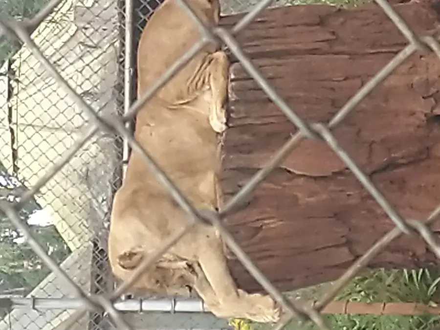
- Athi River serves as a gateway to the Kapiti Plains and Nairobi National Park.
Explore nearby
Notable places around
Route planner — Car & Motorhome
Where do you start? We build the route here, with stops and country notes along the way.
© OpenStreetMap contributors · OpenRouteService
Sights in the town Athi River (2)
Frequently asked questions
Why is Athi River important?
Is there nature in the area?
How do you get there from Nairobi?
How is the town's development?
Are there shopping malls?
Athi River: where is it located?
Athi River: what is there to see?
Athi River: when is the best time to visit?
Athi River: why is it worth visiting?

Nearby cities


History & landmarks


More places