Plizio Visual Lab
Aokigahara Forest
Weather…
Water temperature…
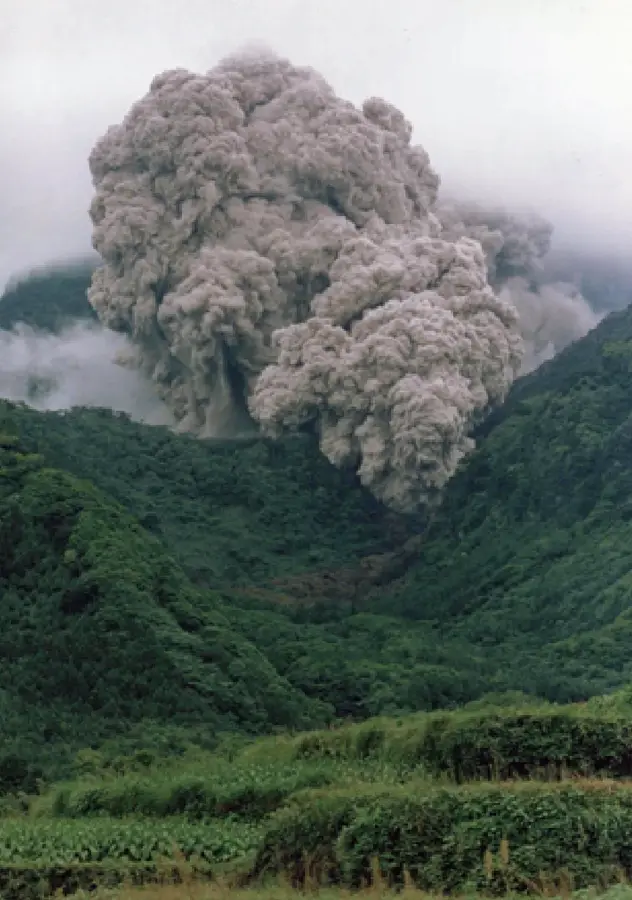
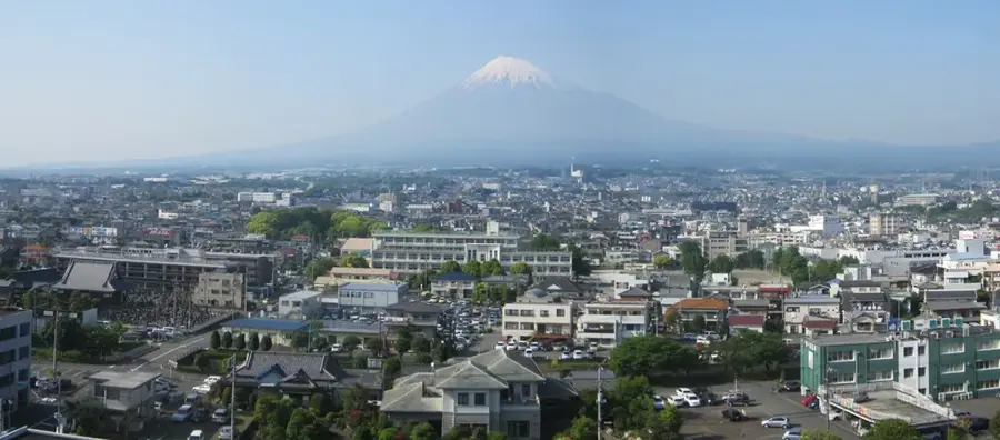
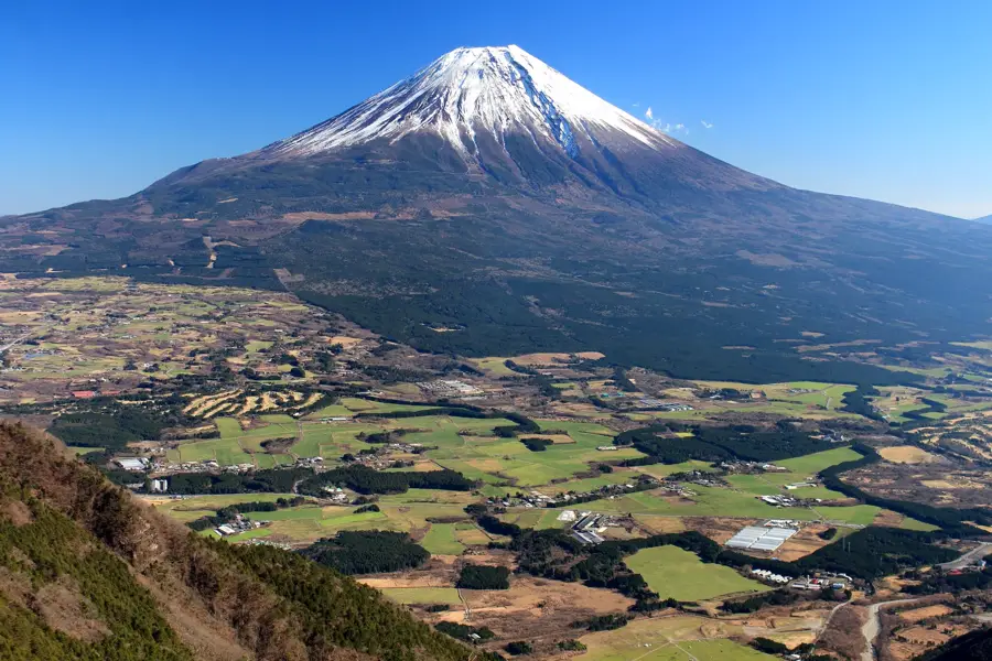
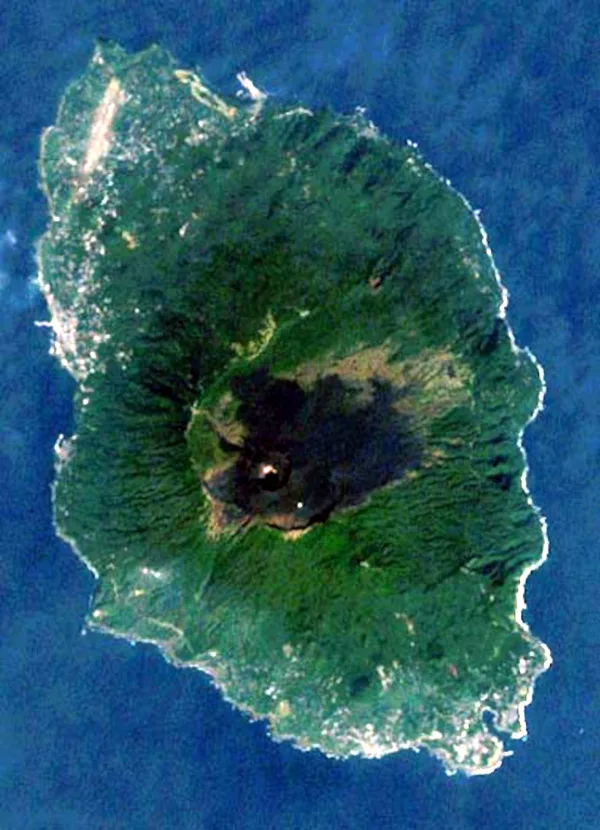
Aokigahara Forest, often called the 'Sea of Trees' or Jukai, covers roughly 30 square kilometers at the northwestern base of Mount Fuji. The forest grew upon a hardened lava plain created by the massive Jogan eruption of Mount Fuji in 864 AD. The porous volcanic soil absorbs sound, lending the forest an eerie, profound silence that distinguishes it from other woodlands. The trees, primarily hemlock and cypress, have roots that spread across the surface of the lava rocks due to the shallow soil depth. Aokigahara is also known for its magnetic iron deposits in the soil, which can interfere with traditional compasses, a natural phenomenon that has sparked many local myths. Despite its complex reputation in popular culture, it is a site of significant ecological value and natural beauty, hosting a variety of wildlife including Japanese squirrels and foxes. Visitors can explore a network of designated trails leading to remarkable geological features like the Narusawa Ice Cave and Fugaku Wind Cave, where ice remains frozen year-round. The forest represents a unique stage of primary succession, showing how an animated ecosystem can emerge from barren volcanic rock over twelve centuries.
- Location: Japan
- Top sights: Four Mountains · KAGIKAKE pass · Kunimasu Museum
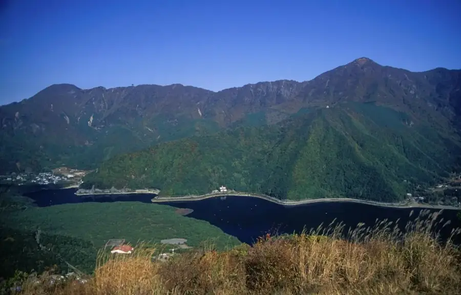
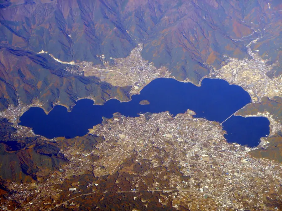
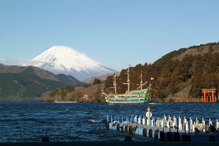
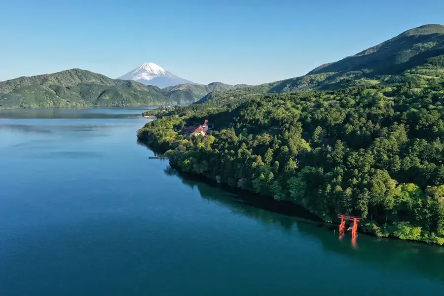
- Nearby: Lake Kawaguchi (12 km)
Best time to visit & climate
The most pleasant time to visit is Jun, Aug, Sep.
| Jan | Feb | Mar | Apr | May | Jun | Jul | Aug | Sep | Oct | Nov | Dec | |
|---|---|---|---|---|---|---|---|---|---|---|---|---|
| Avg °C | -1 | 1 | 4 | 9 | 15 | 19 | 23 | 23 | 20 | 14 | 8 | 2 |
| Rain mm | 61 | 71 | 115 | 127 | 140 | 174 | 209 | 159 | 201 | 193 | 85 | 64 |
📋 Practical info
Geography
Facts
- The forest sits on a lava bed from Mount Fuji’s eruption in 864 AD.
- It is located at an altitude of approximately 900 to 1,300 meters.
- The porous lava creates a natural soundproofing effect throughout the forest.
- Lava tubes like the Ice Cave were formed by flowing gas and molten rock.
- The forest is home to several species of bats found only in this region.
- Walking off the designated trails is strictly prohibited for safety reasons.
Explore nearby
Notable places around
Route planner — Car & Motorhome
Where do you start? We build the route here, with stops and country notes along the way.
© OpenStreetMap contributors · OpenRouteService
Sights in the town Aokigahara Forest (8)
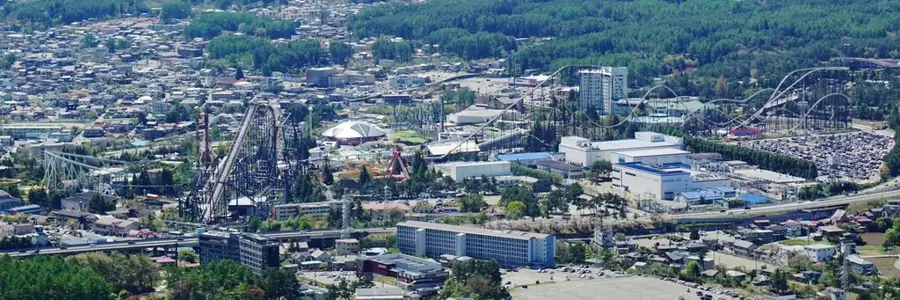
Fujiten Snow Resort📍 landmark
A family-friendly ski resort located on the northern foothills of Mount Fuji.
Sights nearby
Frequently asked questions
What is Aokigahara?
Do compasses work there?
Are there caves in the forest?
Is hiking there safe?
Why is it called the 'Sea of Trees'?
Aokigahara Forest: where is it located?
Aokigahara Forest: what is there to see?
Aokigahara Forest: when is the best time to visit?
Aokigahara Forest: why is it worth visiting?

Nearby cities

History & landmarks
More places