Plizio Visual Lab

Shikotsu-Tōya Plateau

Plizio editorial teamData Sources
plateau
—°
Shikotsu-Tōya Plateau (Japan)

Weather…

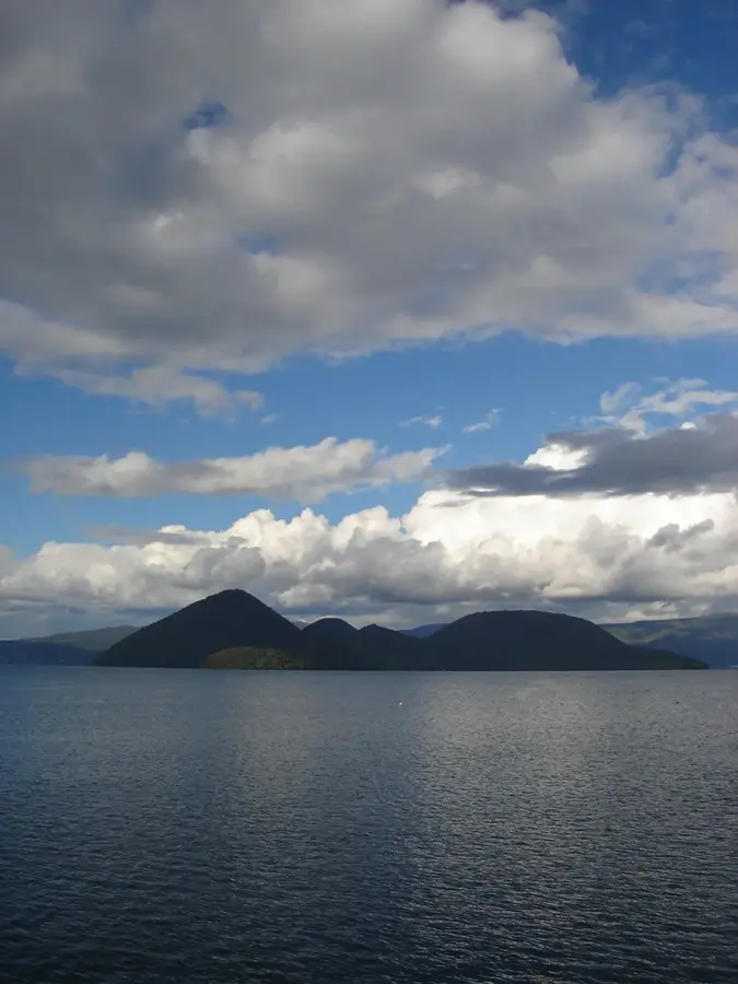
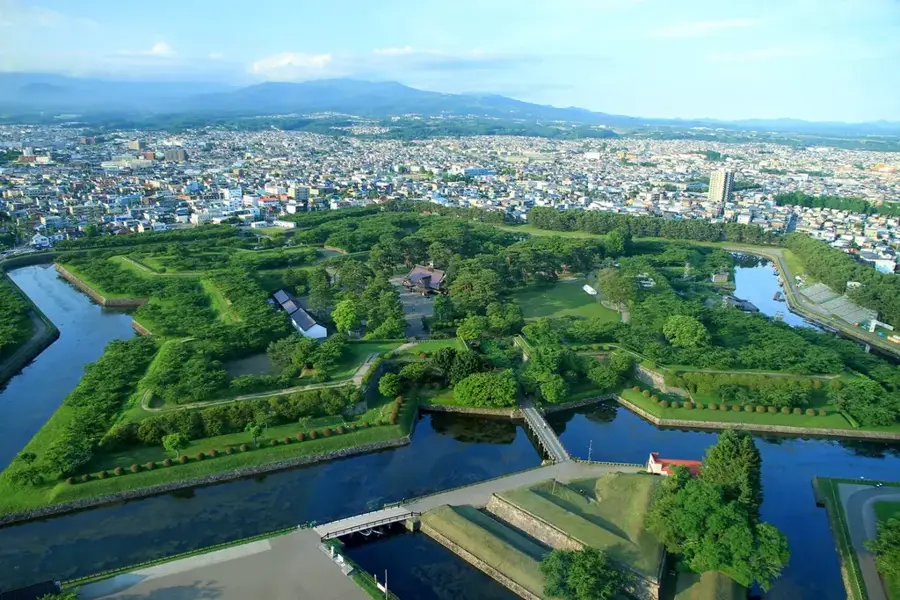
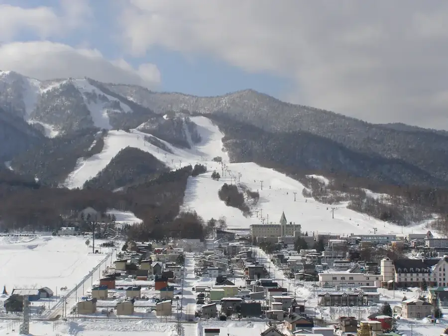
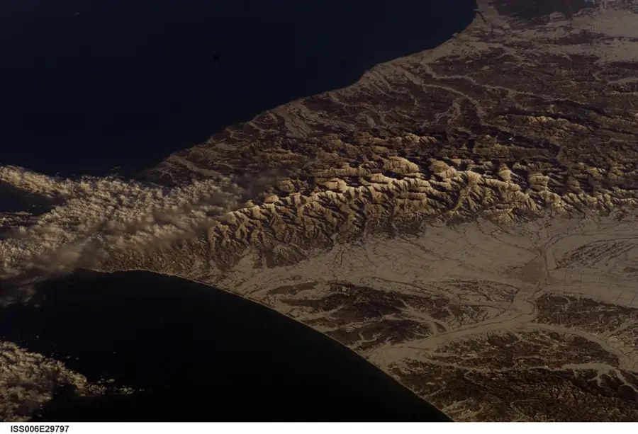
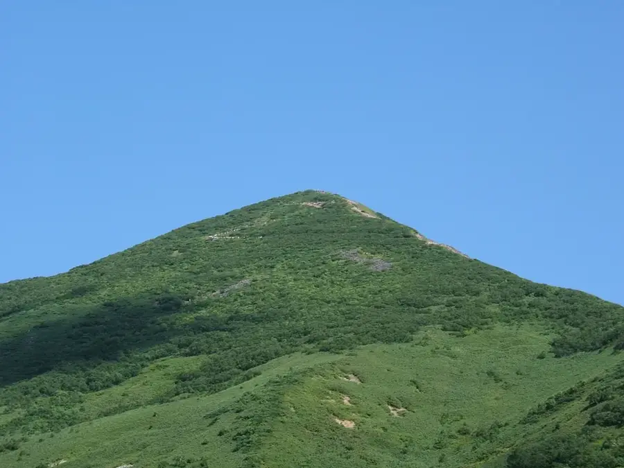
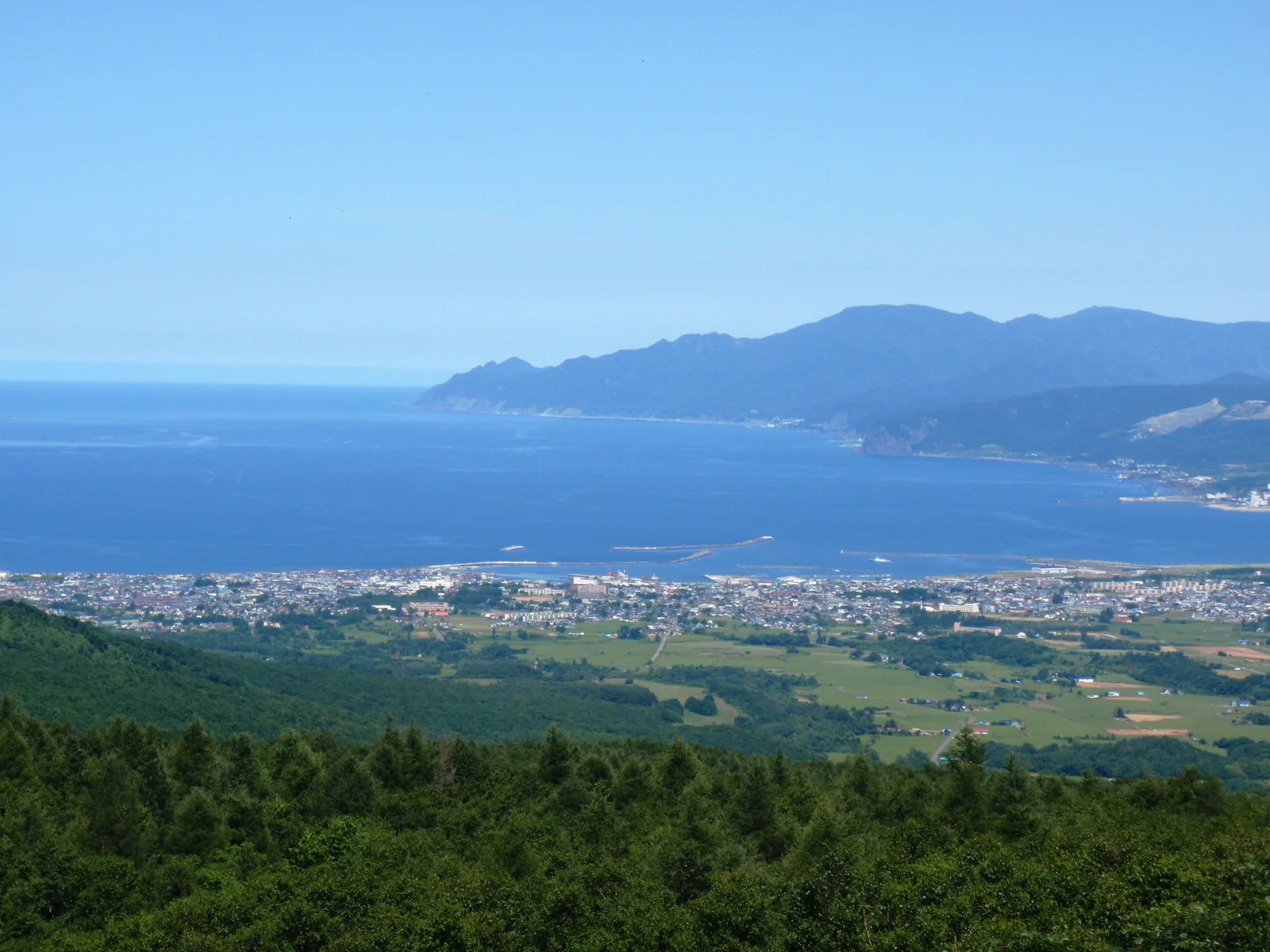
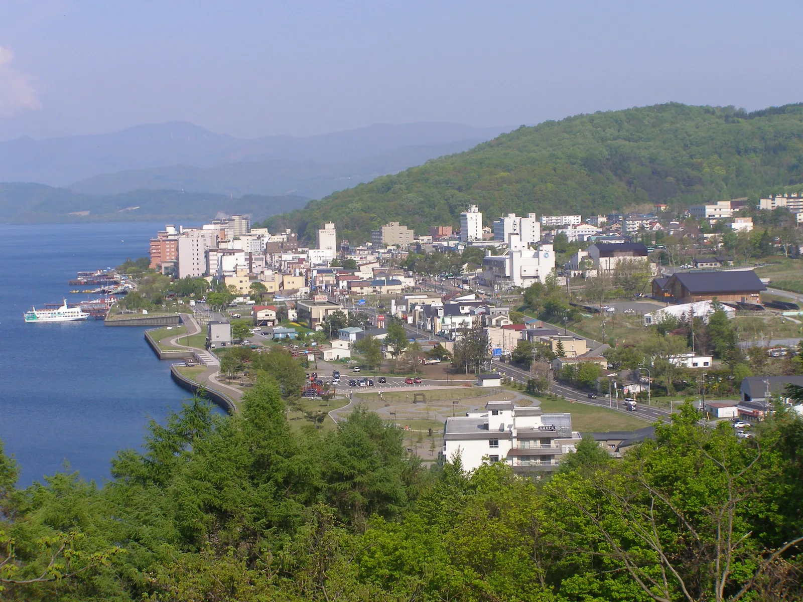
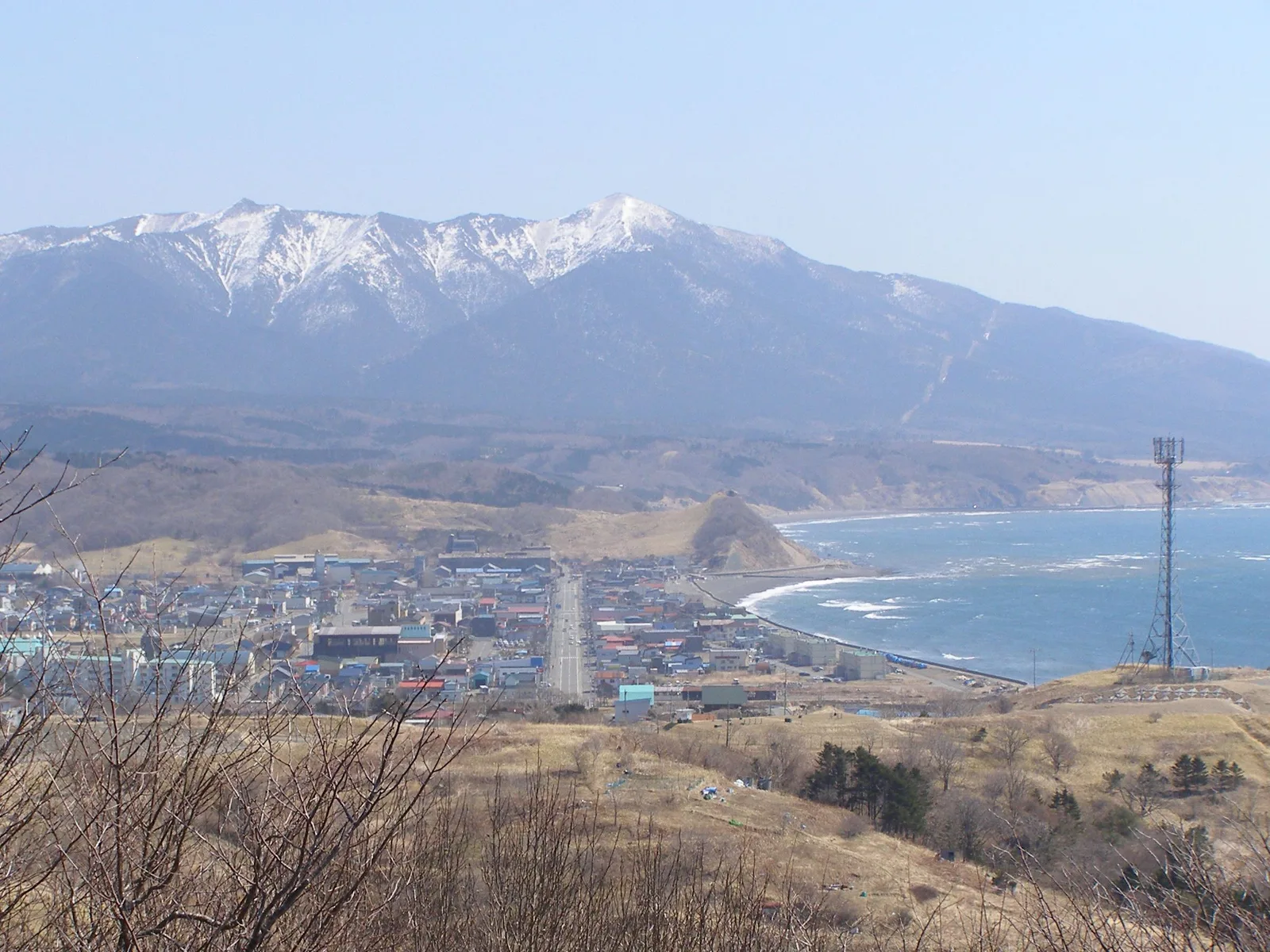
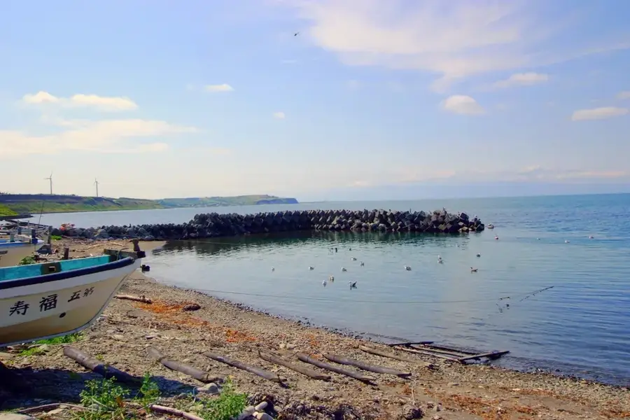
Shikotsu-Tōya Plateau is a remarkable feature of the geography and culture of Japan. A volcanic plateau encompassing the caldera lakes Shikotsu and Tōya and several active volcanoes like Mount Usu and Shōwa-shinzan. Part of Shikotsu-Tōya National Park. Known for its hot springs (onsen). A UNESCO Global Geopark. This landform shapes the topography of Japan, between the main islands of Honshu, Hokkaido, Kyushu, and Shikoku, dominated by volcanic mountain ranges. Like many notable places in Japan, it combines regional character with the legacy of the samurai tradition, Shinto and Buddhist heritage, and the modern industrial nation. Thus, this place contributes to the diverse profile of Japan, from Mount Fuji and Tokyo to the volcanic island arc along the Pacific.

Best time to visit & climate

The most pleasant time to visit is Jul–Sep.

JanFebMarAprMayJunJulAugSepOctNovDec
Avg °C-4-404914182018125-1
Rain mm867270728691134168139115119113

📋 Practical info

🧭
Getting there
The volcanic plateau is very well integrated into the Japanese road network, usually accessed via regular buses or rental cars from Sapporo or New Chitose Airport. The excellently maintained roads lead directly to the easy on the eye lakeshores and the primary access points for the region's prominent volcanic formations.
📅
Best season
A visit is rewarding throughout the entire year, with summer offering mild temperatures perfectly suited for extensive hikes and leisurely boat rides on the lakes. Winter attracts many visitors with its thick blankets of snow and famous ice festivals, although some of the higher-elevation hiking trails are closed during this time.
⛰️
Terrain & paths
The landscape provides a mix of flat, relaxing shoreline paths around the large caldera lakes and steeper, rockier trails that ascend the active volcanic cones. Climbing volcanoes like Mount Usu requires surefootedness on loose lava rock, while the broader lake scenery is generally flat and easy to navigate for most walkers.
🎒
What to bring
Comfortable running shoes are perfectly sufficient for the lakeside paths, whereas over-the-ankle hiking boots are highly recommended for tackling the volcanic trails. Due to the unpredictable winds across the lakes and on the mountains, always carry a windproof jacket, sun protection, and plenty of drinking water in your daypack.
🅿️
Parking
Spacious, often paid parking lots are typically available around the well-known hot spring resort towns and the main visitor information centers. However, during the large winter ice festivals or on popular national holidays in the autumn, these extensive parking facilities can still reach their maximum capacity very quickly.
⚠️
Safety
Because the region is located in a highly active volcanic zone, it is absolutely crucial to strictly follow local warnings regarding volcanic gases or sudden seismic activity. Certain cordoned-off areas must never be entered under any circumstances, and extra caution is required on the icy lakeside paths during winter.
⏱️
Time needed
Many visitors plan for one to two days to explore the caldera lakes, participate in a short volcanic hike, and relax in one of the traditional hot spring onsens. For a more comprehensive exploration encompassing all the natural highlights and mountain peaks of the expansive plateau, three to four days should typically be allocated.

Geography

Coordinates
42.70000, 141.00000

Facts

  • A volcanic plateau encompassing the caldera lakes Shikotsu and Tōya and several active volcanoes like Mount Usu and Shōwa-shinzan.
  • Located within the island nation of Japan in the North Pacific.
  • Plays a role in the local identity of the region.
  • Known for its scenic or cultural significance.
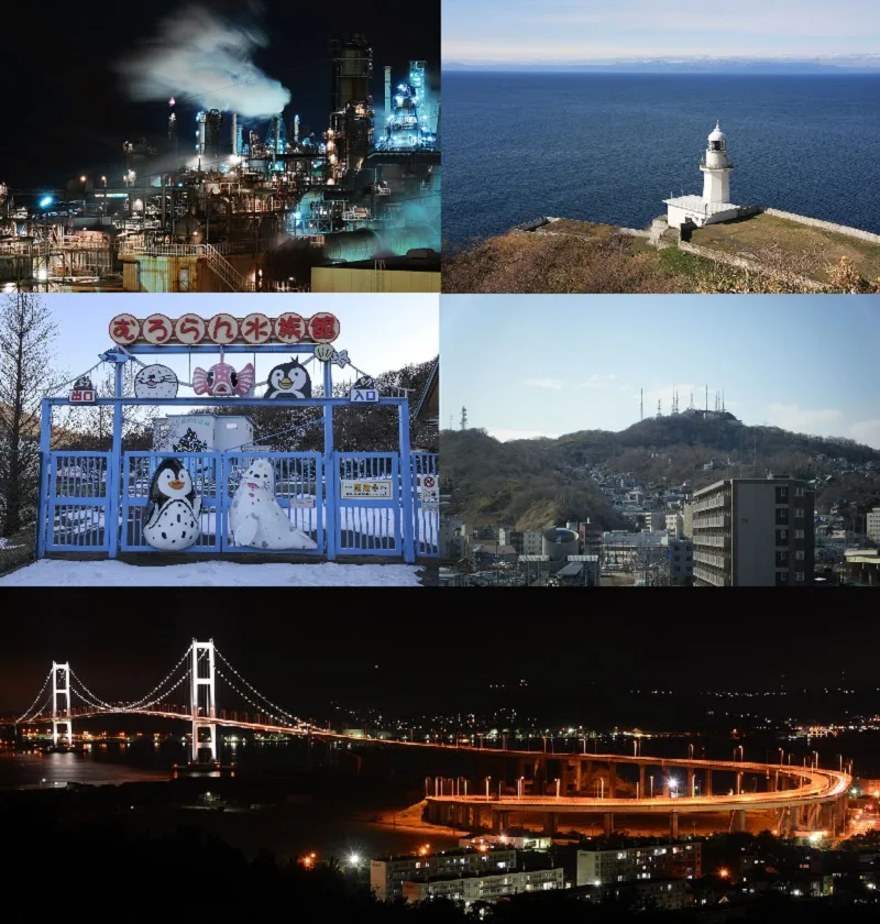
Explore nearby

Notable places around

Route planner — Car & Motorhome

Where do you start? We build the route here, with stops and country notes along the way.

Vehicle
Only stops with (optional):

© OpenStreetMap contributors · OpenRouteService

Sights nearby

Frequently asked questions

Which two major lakes define this plateau?
Lake Shikotsu and Lake Toya; both are circular crater lakes of volcanic origin.
Why does Lake Shikotsu almost never freeze in winter?
Due to its extreme depth (up to 360 m), it retains heat, making it Japan's northernmost ice-free lake.
Are there active volcanoes near Lake Toya?
Yes, Mount Usu is a very active volcano; you can take a ropeway to the top to see the craters.
What is Noboribetsu Jigokudani?
The 'Hell Valley' is a volcanic area with sulfurous vents and steam, supplying many of the region's hot springs.
Can you go boating on Lake Toya?
Yes, sightseeing boats operate regularly, taking visitors to the forested Nakajima Islands in the lake's center.
Shikotsu-Tōya Plateau: where is it located?
Shikotsu-Tōya Plateau is located in Japan.
Shikotsu-Tōya Plateau: when is the best time to visit?
The most pleasant time to visit is Jul, Sep.
Shikotsu-Tōya Plateau: why is it worth visiting?
Shikotsu-Tōya Plateau is a remarkable feature of the geography and culture of Japan.
View on map → The Top 50 Attractions → OpenStreetMap →
Asia
Explore with Plizio Discover more places in Asia
More places in Japan →

Nearby cities

Nature

More places