Plizio Visual Lab
Ishikari River
Weather…
Water temperature…
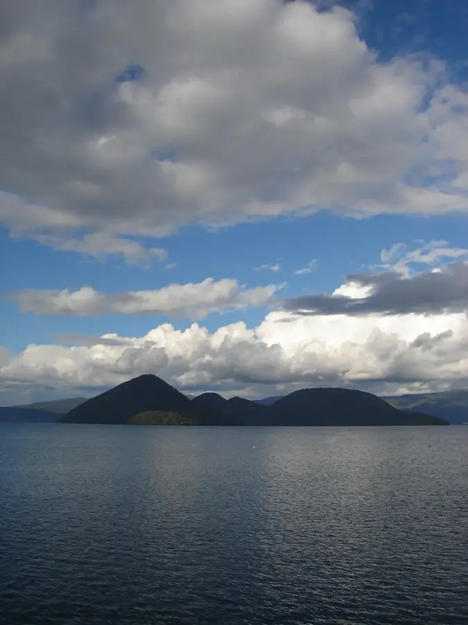
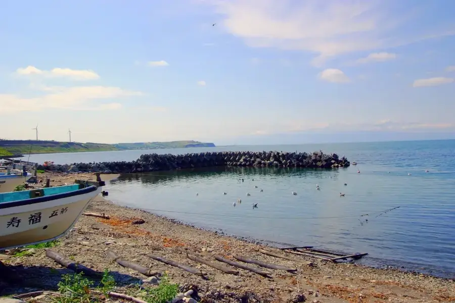
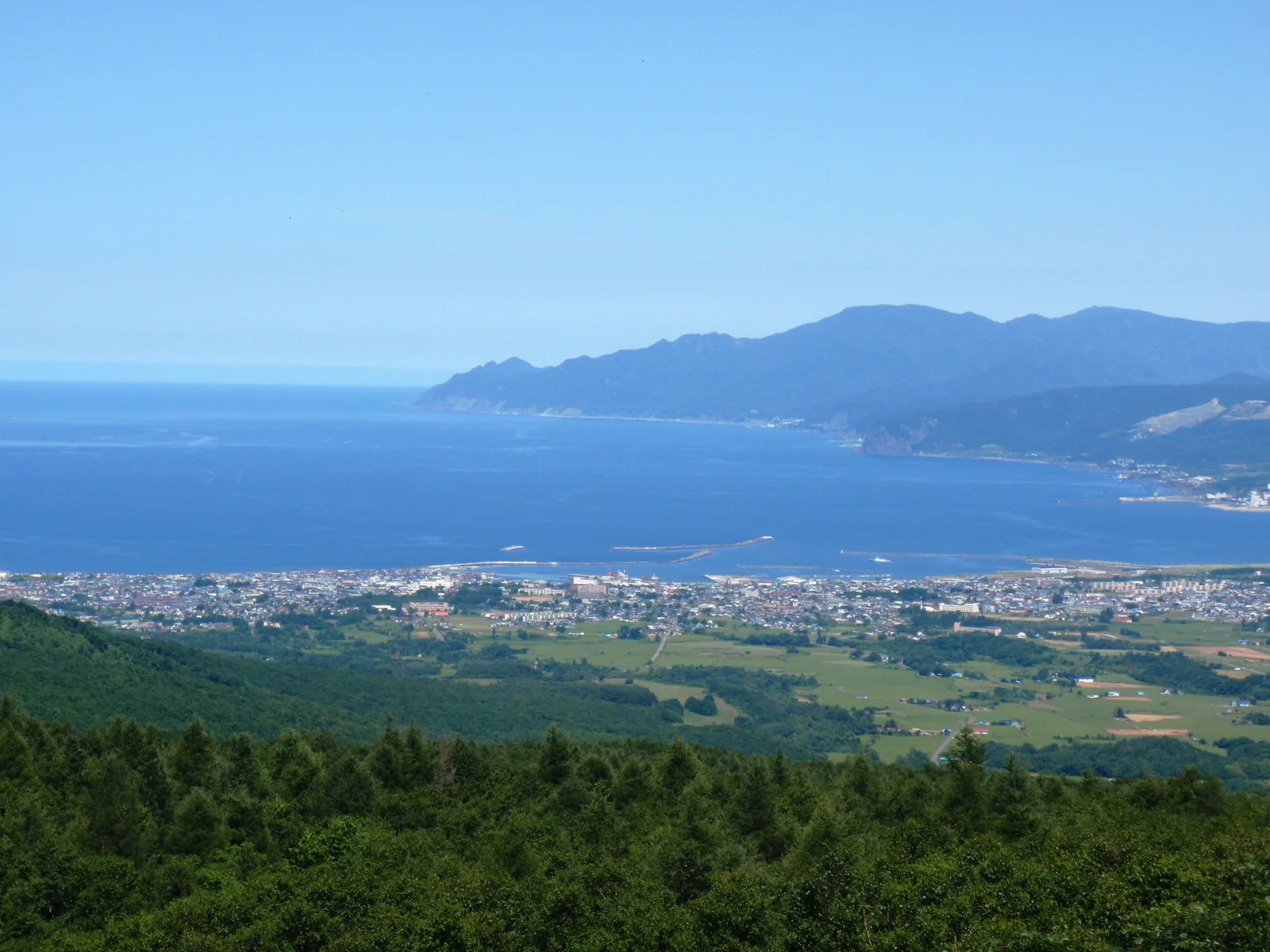
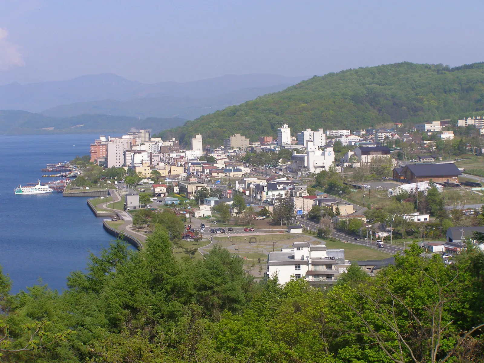
The Ishikari River is the longest river on the island of Hokkaido and the third longest in Japan, spanning approximately 268 kilometers. It originates from Mount Ishikari in the Daisetsuzan mountain range and flows through the expansive Ishikari Plain before reaching the Sea of Japan at the city of Ishikari. Historically, the river was famous for its extreme meandering, once measuring over 360 kilometers in length before extensive engineering projects in the late 19th and early 20th centuries straightened its course to prevent flooding and improve navigation. These projects left behind numerous oxbow lakes, which now serve as unique ecological habitats. The river's drainage basin is the largest in Hokkaido, covering over 14,000 square kilometers and supporting the region’s vital rice and vegetable farming. The Ishikari River is also a significant spawning ground for salmon and a critical stopover for migratory birds across its lower wetlands. For the indigenous Ainu people, the river was a lifeline and a sacred path, with its name likely derived from an Ainu word describing its wandering path. Today, the river remains a central feature of Hokkaido's landscape, providing essential water resources for the metropolis of Sapporo and surrounding urban areas.
- Location: Japan
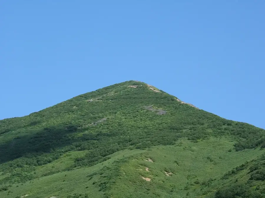
- Top sights: Mount Asoiwa · Tobetsu Town Hall · Nishi Tobetsu Shrine
- Nearby: Tobetsu (14 km)
Best time to visit & climate
The most pleasant time to visit is Jul–Sep.
| Jan | Feb | Mar | Apr | May | Jun | Jul | Aug | Sep | Oct | Nov | Dec | |
|---|---|---|---|---|---|---|---|---|---|---|---|---|
| Avg °C | -2 | -2 | 1 | 5 | 11 | 15 | 19 | 21 | 19 | 13 | 6 | 0 |
| Rain mm | 111 | 88 | 69 | 53 | 63 | 70 | 109 | 137 | 127 | 117 | 134 | 138 |
📋 Practical info
Geography
Facts
- The Ishikari River is the longest river in Hokkaido at 268 kilometers.
- Its drainage basin covers roughly 17% of Hokkaido's total land area.
- The river's name is derived from the Ainu term for 'winding river.'
- Straightening of the river began in 1910 under the direction of Bunkichi Okazaki.
- It is a vital water source for Sapporo, Hokkaido's largest city.
- The river is home to the endangered Sakhalin taimen, a large species of fish.
Explore nearby
Notable places around
Route planner — Car & Motorhome
Where do you start? We build the route here, with stops and country notes along the way.
© OpenStreetMap contributors · OpenRouteService
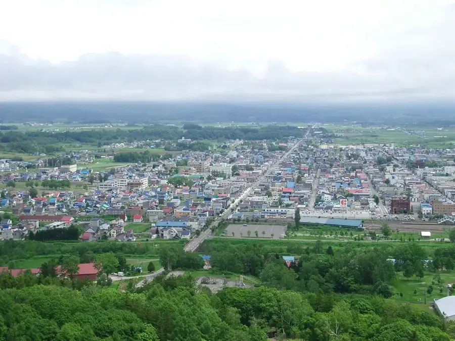
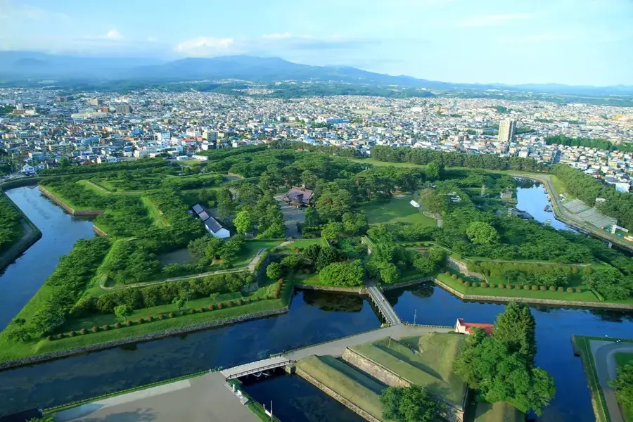
Sights in the town Ishikari River (3)
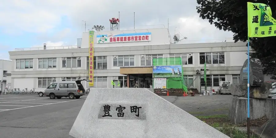
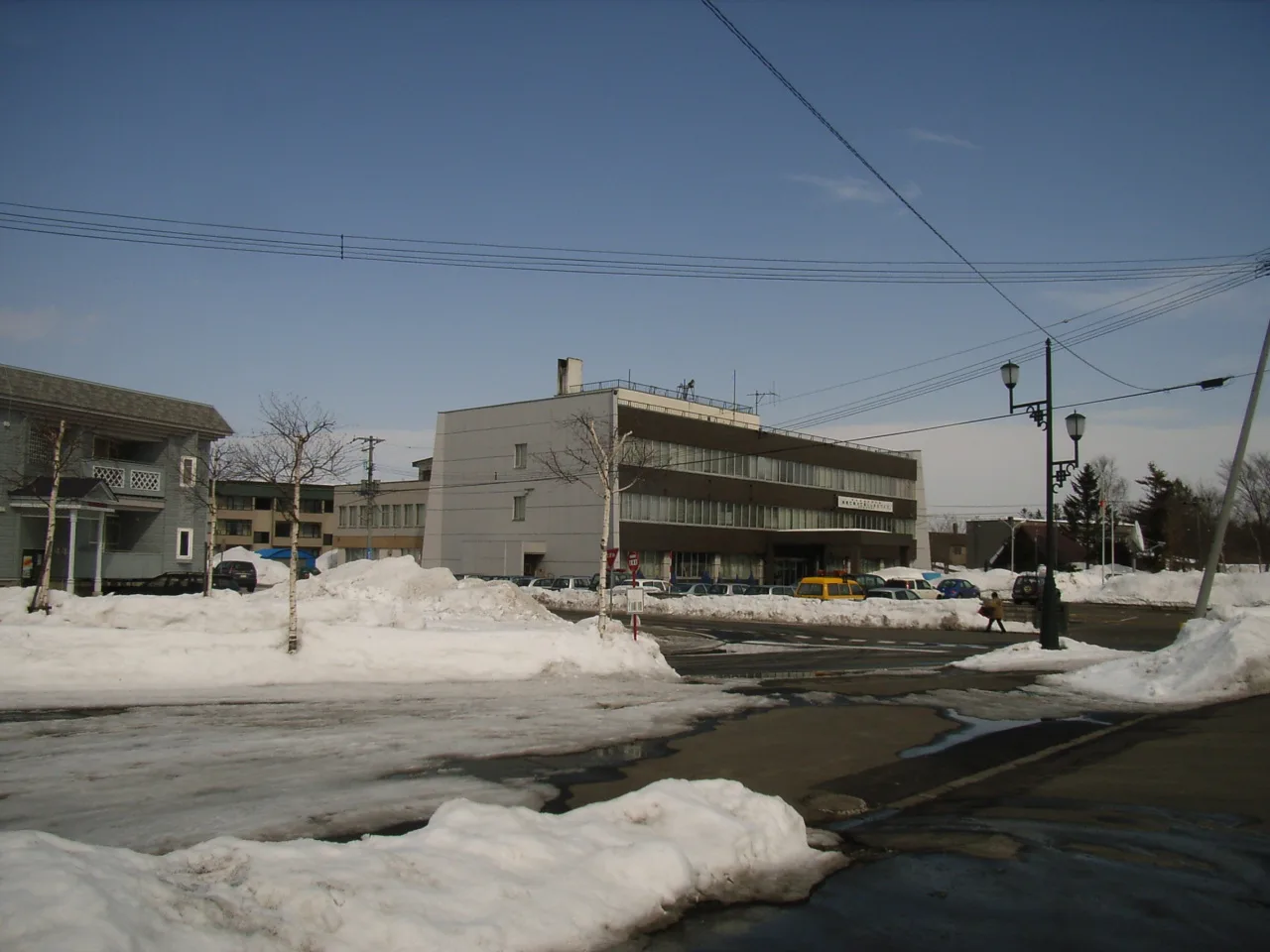
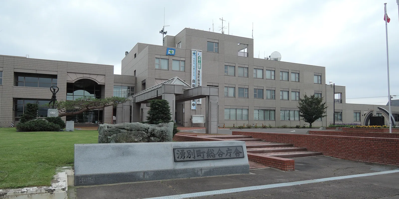
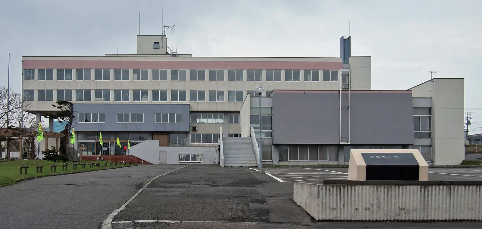
Tobetsu Town Hall🏺 historical
The administrative center of a town known for its close cultural ties to Sweden and Nordic-inspired architecture.
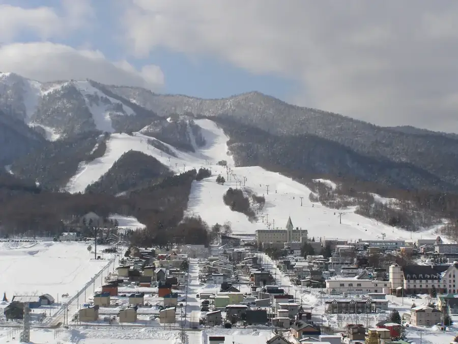
Sights nearby
Frequently asked questions
How long is the Ishikari River?
Where does the river flow?
Why is the river historically significant?
Can you see salmon there?
Are there parks along the riverbanks?
Ishikari River: where is it located?
Ishikari River: what is there to see?
Ishikari River: when is the best time to visit?
Ishikari River: why is it worth visiting?

Nearby cities
More places