Plizio Visual Lab
Odienné Plateau

Weather…
Water temperature…
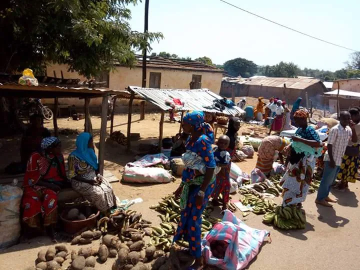
The Odienné Plateau extends across the northwestern region of Ivory Coast, forming a significant part of the North Sudanese savanna landscape. Characterized by an average elevation of 400 to 500 meters above sea level, the terrain is punctuated by isolated granite inselbergs that rise abruptly from the plains. Geologically, the plateau is part of the Precambrian basement complex, shaped by extensive weathering and erosion processes over millions of years. The vegetation primarily consists of open wooded savanna, which is influenced by the dry Harmattan winds blowing from the Sahara during the winter months. Economically, the plateau is vital for cotton production and cattle ranching, benefiting from a climate that is significantly drier than the tropical south. The city of Odienné acts as the administrative hub and a crucial gateway for overland trade with neighboring Guinea and Mali.
- Location: Côte d’Ivoire
- Nearby: Odienné (8 km)
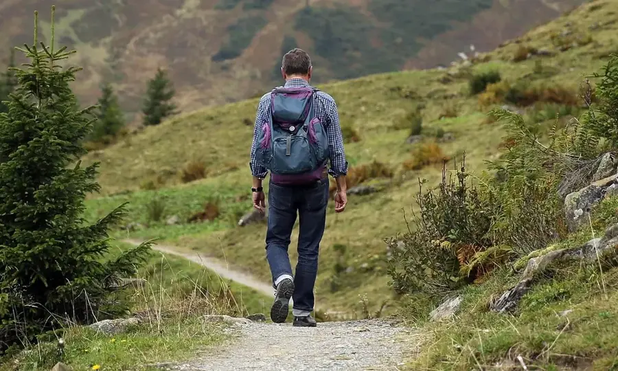
Best time to visit & climate
The most pleasant time to visit is Jan, Nov, Dec.
| Jan | Feb | Mar | Apr | May | Jun | Jul | Aug | Sep | Oct | Nov | Dec | |
|---|---|---|---|---|---|---|---|---|---|---|---|---|
| Avg °C | 25 | 27 | 29 | 29 | 28 | 27 | 25 | 25 | 25 | 26 | 26 | 25 |
| Rain mm | 4 | 13 | 44 | 70 | 87 | 134 | 174 | 246 | 179 | 89 | 20 | 3 |
📋 Practical info
Geography
Facts
- Average elevation between 400 and 500 meters
- Part of the ancient Precambrian African Shield
- Features prominent granite inselberg formations
- Key region for industrial cotton farming
- Dominated by the dry Harmattan wind in winter
- Strategic trade location near Mali and Guinea borders
Explore nearby
Notable places around
Route planner — Car & Motorhome
Where do you start? We build the route here, with stops and country notes along the way.
© OpenStreetMap contributors · OpenRouteService
Sights nearby
Frequently asked questions
Where is the Odienné Plateau located?
How high is the plateau?
What is the climate on the Odienné Plateau?
What does the population in Odienné live on?
Are there sights nearby?
Odienné Plateau: where is it located?
Odienné Plateau: when is the best time to visit?
Odienné Plateau: why is it worth visiting?

Nearby cities

More places