Plizio Visual Lab
Monte Tancia
Weather…
Water temperature…
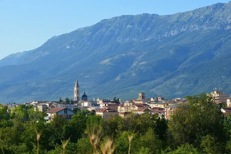
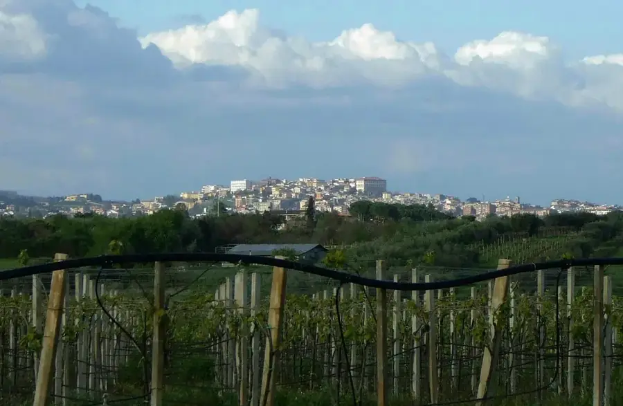
Monte Tancia is the highest peak of the Sabini Mountains in the Lazio region, rising to an elevation of 1,292 meters above sea level. Composed primarily of limestone, the mountain exhibits classic karst topography, featuring rugged cliffs, caves, and the deep Tancia Gorge carved by the Aia stream. Historically, the mountain served as a strategic stronghold and was the site of significant partisan activity during World War II, culminating in a fierce battle in April 1944. Since ancient times, the slopes of the Sabini range have been renowned for their high-quality olive oil production, a tradition that continues in the local villages today. The area is rich in biodiversity, with forests of oak and beech providing habitats for wolves and various birds of prey. Hikers frequent the mountain for its network of trails that offer panoramic views stretching from the Apennine peaks to the Tyrrhenian coast on clear days.
- Location: Italy
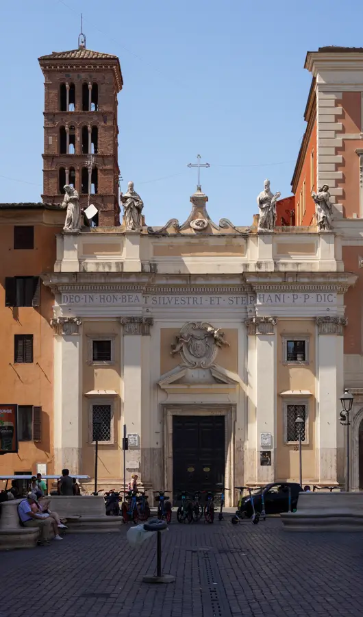
- Top sights: Monte Ode · Monte Tancia · Eremo San Leonardo
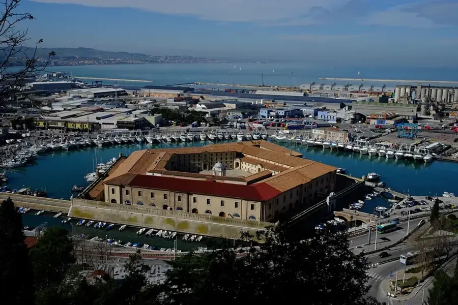
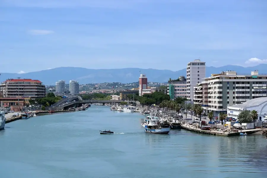
- Nearby: Terni (30 km)
Best time to visit & climate
The most pleasant time to visit is Jun–Aug.
| Jan | Feb | Mar | Apr | May | Jun | Jul | Aug | Sep | Oct | Nov | Dec | |
|---|---|---|---|---|---|---|---|---|---|---|---|---|
| Avg °C | 2 | 2 | 5 | 9 | 13 | 18 | 22 | 22 | 16 | 12 | 7 | 3 |
| Rain mm | 74 | 84 | 67 | 60 | 63 | 46 | 32 | 32 | 70 | 75 | 100 | 87 |
📋 Practical info
Geography
Facts
- The summit of Monte Tancia reaches a height of 1,292 meters.
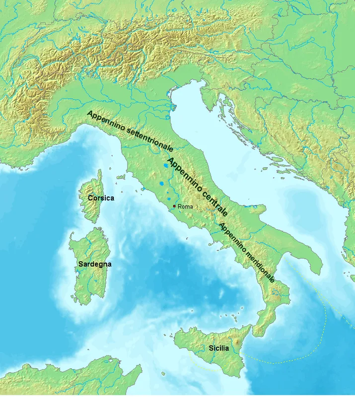
- It is the highest mountain within the Sabini range of the Central Apennines.
- A major battle between Italian partisans and German troops occurred here in April 1944.
- The mountain features the Tancia Gorge, a notable natural canyon site.
- The local Sabina area is famous for the first PDO olive oil in Italy.
- Ancient religious sites were often located in the karst caves of the mountain.
Explore nearby
Notable places around
Route planner — Car & Motorhome
Where do you start? We build the route here, with stops and country notes along the way.
© OpenStreetMap contributors · OpenRouteService
Sights in the town Monte Tancia (6)
Sights nearby
Frequently asked questions
How high is Monte Tancia?
Where does the hike start?
How difficult is the climb?
Are there mountain huts on the mountain?
What can you see from the summit?
Monte Tancia: where is it located?
Monte Tancia: what is there to see?
Monte Tancia: when is the best time to visit?
Monte Tancia: why is it worth visiting?

Nearby cities
History & landmarks