Plizio Visual Lab
Monte Simbruini
Weather…
Water temperature…
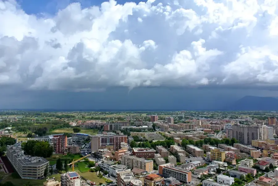
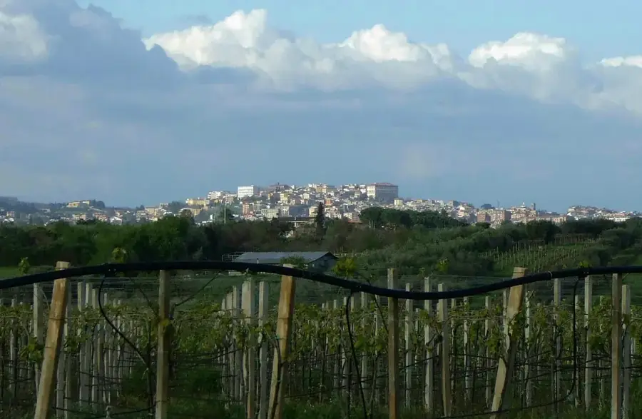
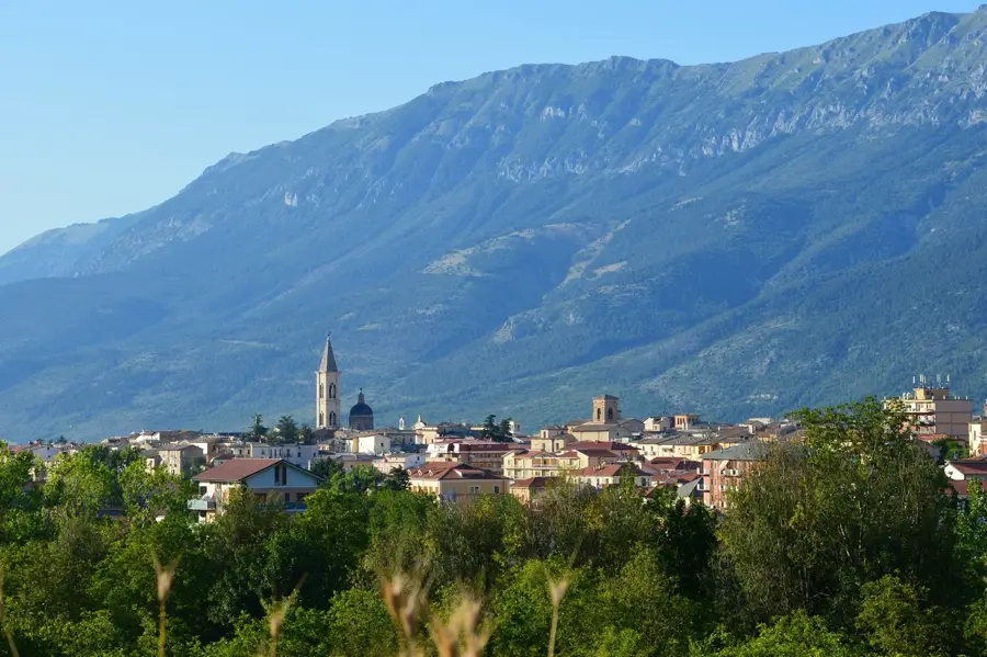
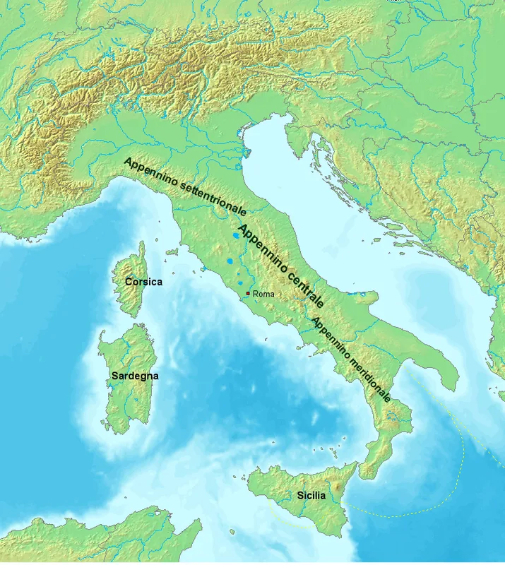
The Monti Simbruini are a mountain range in the Central Apennines, straddling the border between the Lazio and Abruzzo regions. The name derives from the Latin 'sub imbribus,' meaning 'under the rains,' highlighting the area's high precipitation and abundant water resources. The range's highest point is Monte Viglio, standing at 2,156 meters. These mountains are covered by some of the largest beech forests in Europe, providing a critical sanctuary for the Apennine wolf and the Marsican brown bear. Geologically, the range is defined by karst features, with numerous springs feeding the Aniene and Liri rivers, which have supplied water to Rome via aqueducts since ancient times. The Monti Simbruini Regional Park, established in 1983, protects this pristine natural environment alongside historical cultural sites like the Benedictine monasteries of Subiaco, where the first printing press in Italy was established.
- Location: Italy
- Top sights: Monte Pratiglio · Affresco · Eremo San Donato
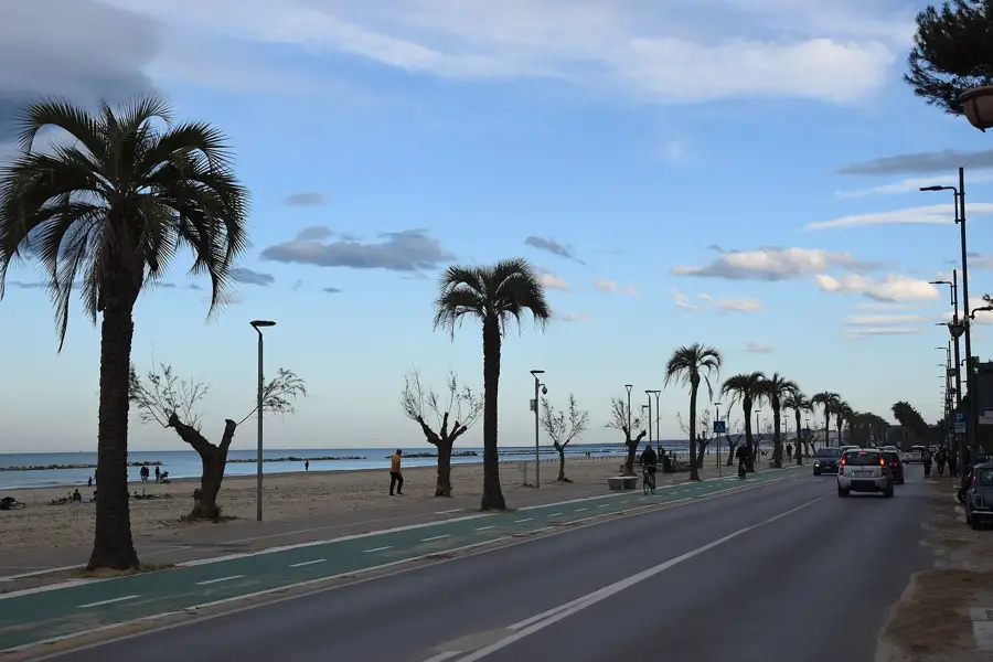
- Nearby: Fiuggi (14 km)
Best time to visit & climate
The most pleasant time to visit is Jun–Aug.
| Jan | Feb | Mar | Apr | May | Jun | Jul | Aug | Sep | Oct | Nov | Dec | |
|---|---|---|---|---|---|---|---|---|---|---|---|---|
| Avg °C | 3 | 4 | 7 | 10 | 15 | 20 | 23 | 23 | 18 | 14 | 9 | 4 |
| Rain mm | 79 | 77 | 68 | 58 | 57 | 41 | 29 | 26 | 65 | 78 | 107 | 92 |
📋 Practical info
Geography
Facts
- The highest peak in the range is Monte Viglio, reaching 2,156 meters.
- The Monti Simbruini Regional Park covers approximately 30,000 hectares of land.
- The name 'Simbruini' originates from the Latin phrase for 'under the rains.'
- The Aniene River, which flows into the Tiber, has its sources in these mountains.
- The area is home to the first Benedictine monasteries founded in the 6th century.
- The range contains one of the most extensive beech forests in all of Europe.
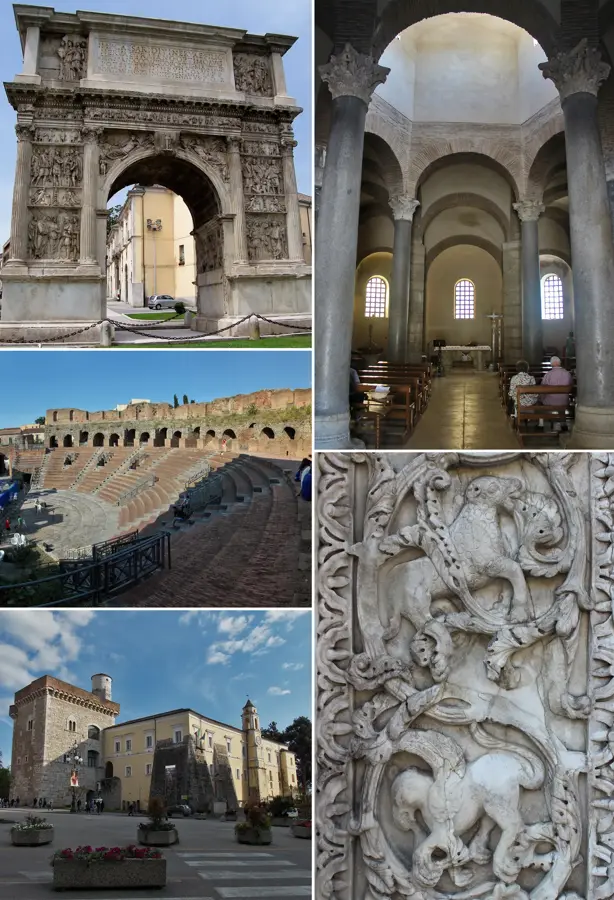
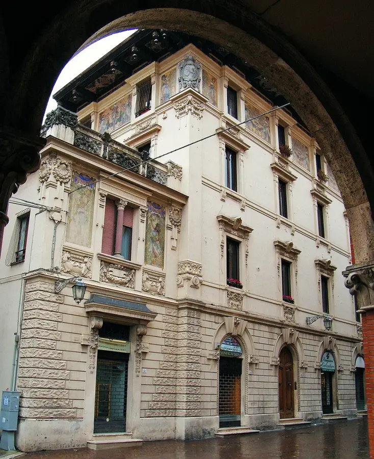
Explore nearby
Notable places around
Route planner — Car & Motorhome
Where do you start? We build the route here, with stops and country notes along the way.
© OpenStreetMap contributors · OpenRouteService
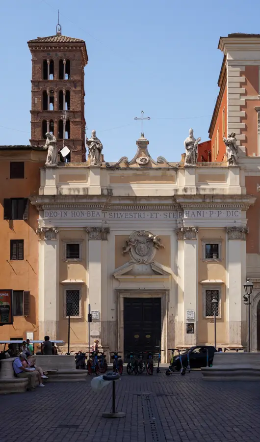
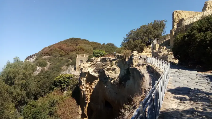
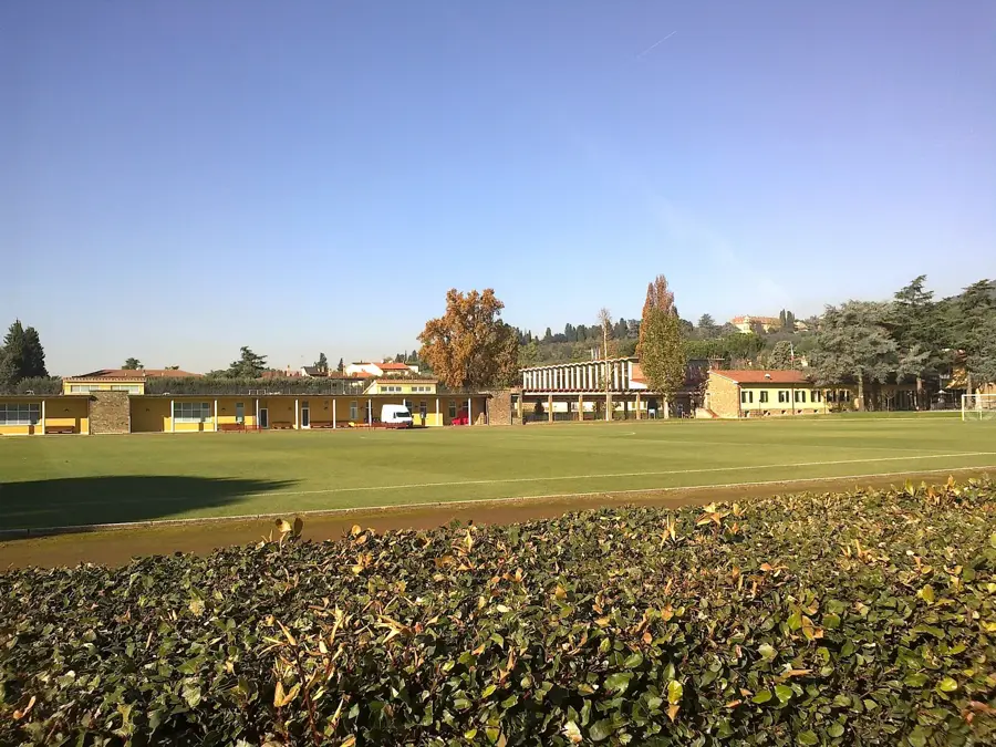
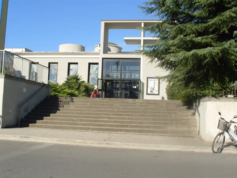
Sights in the town Monte Simbruini (3)
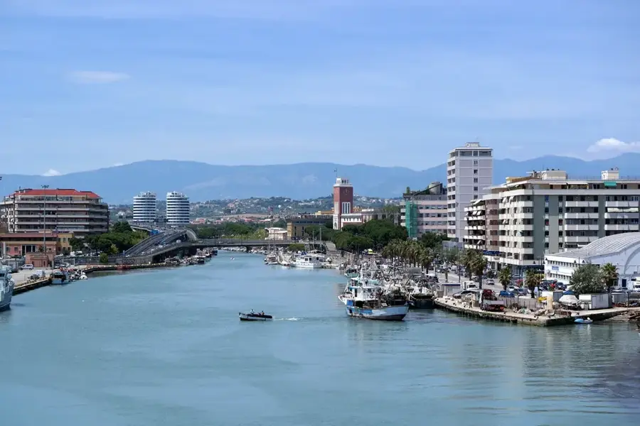
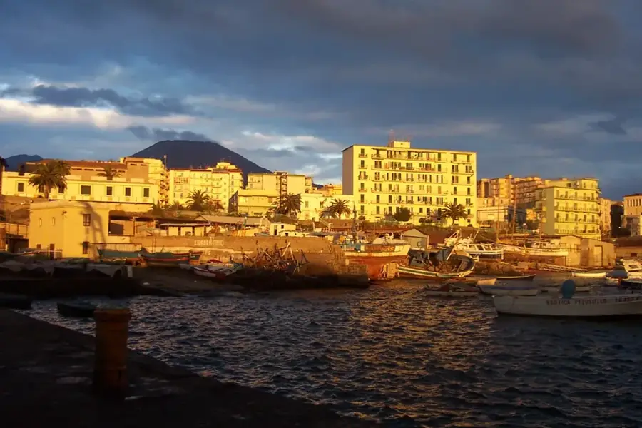
Sights nearby
Frequently asked questions
What is special about the Monti Simbruini?
What animals live in the regional park?
Can you ski there in winter?
Which town is a good starting point?
Are there marked hiking trails?
Monte Simbruini: where is it located?
Monte Simbruini: what is there to see?
Monte Simbruini: when is the best time to visit?
Monte Simbruini: why is it worth visiting?

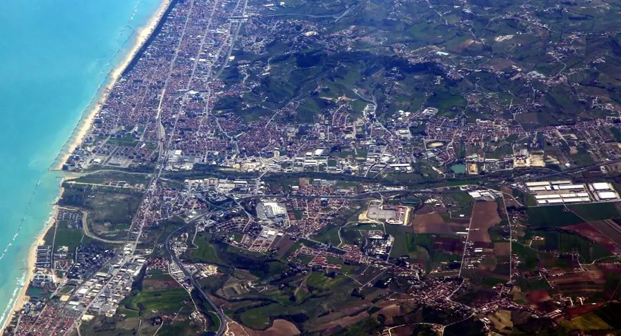
Nearby cities