Plizio Visual Lab
Monte Matto
Weather…
Water temperature…
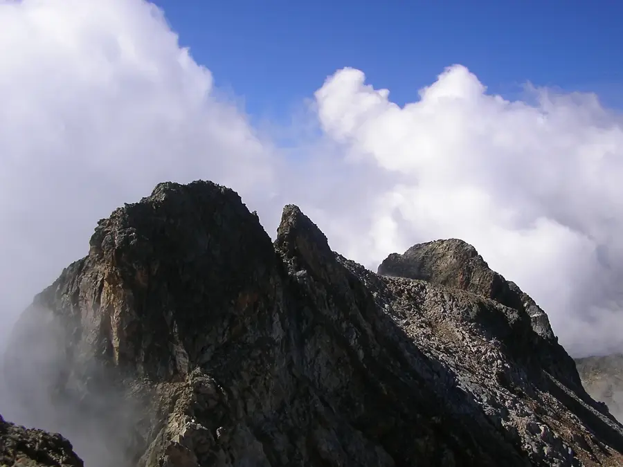
Monte Matto is a massive granite massif in the Maritime Alps, reaching a maximum elevation of 3,097 meters. Located within the Maritime Alps Natural Park in Piedmont, it consists of four distinct peaks forming a long ridge. Its geology is characterized by crystalline rocks, particularly gneiss and granite, which result in steep faces and sharp ridges. The mountain is renowned for its abundant wildlife, including ibex and chamois that inhabit the high rocky regions. Climbs to the summit are demanding and often involve crossing extensive scree slopes and snowfields. From the top, an impressive view unfolds over the surrounding 3,000-meter peaks, such as Monte Argentera, and as far as the Mediterranean Sea on clear days. The region was once a royal hunting ground for the House of Savoy, which contributed to the preservation of its pristine nature. The north face of Monte Matto is well-known among mountaineers for its technically challenging routes.
- Location: Italy
- Top sights: Parco naturale delle Alpi Marittime · Cime de Tavels · Mont Malinvern / Testa di Malinvern
- Nearby: Limone Piemonte (28 km)
Best time to visit & climate
The most pleasant time to visit is Jun–Aug.
| Jan | Feb | Mar | Apr | May | Jun | Jul | Aug | Sep | Oct | Nov | Dec | |
|---|---|---|---|---|---|---|---|---|---|---|---|---|
| Avg °C | -1 | 0 | 3 | 7 | 12 | 17 | 20 | 19 | 14 | 9 | 4 | 0 |
| Rain mm | 52 | 49 | 57 | 60 | 63 | 44 | 27 | 30 | 52 | 85 | 114 | 76 |
📋 Practical info
Geography
Facts
- The highest elevation (Cima Est) is at 3,097 meters.
- The mountain consists of four main peaks: Est, Centrale, Ovest, and Verani.
- The first ascent took place on August 14, 1879, by William Auguste Coolidge.
- The rock belongs to the Argentera-Mercantour massif.
- The village of Terme di Valdieri lies at the foot of the mountain.
- The north face has a vertical drop of over 500 meters.
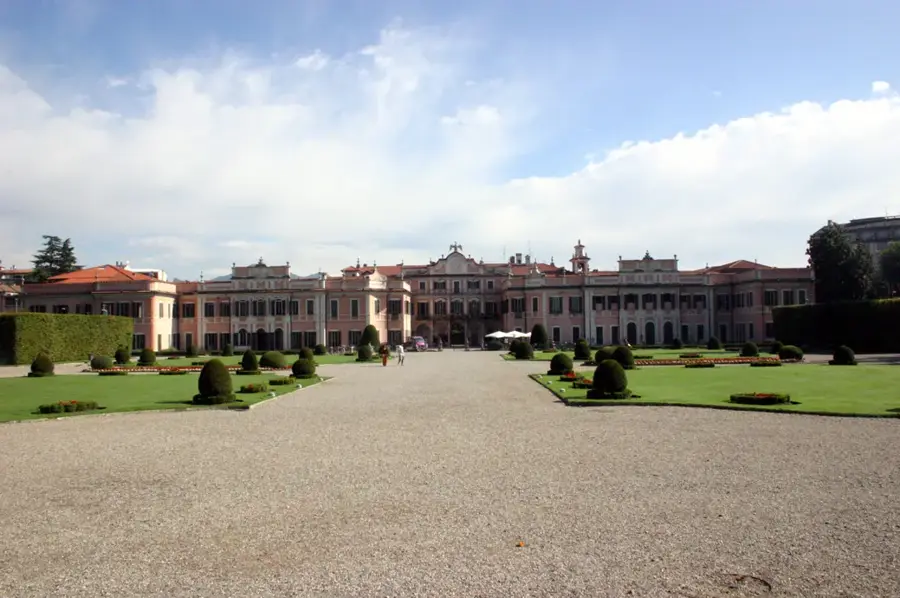
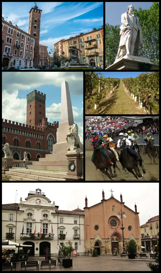
Explore nearby
Notable places around
Route planner — Car & Motorhome
Where do you start? We build the route here, with stops and country notes along the way.
© OpenStreetMap contributors · OpenRouteService
Sights in the town Monte Matto (6)
Sights nearby
Frequently asked questions
How high is Monte Matto?
Are there lakes there?
How difficult is the ascent?
What is the starting point?
Are there chamois there?
Monte Matto: where is it located?
Monte Matto: what is there to see?
Monte Matto: when is the best time to visit?
Monte Matto: why is it worth visiting?

Nearby cities
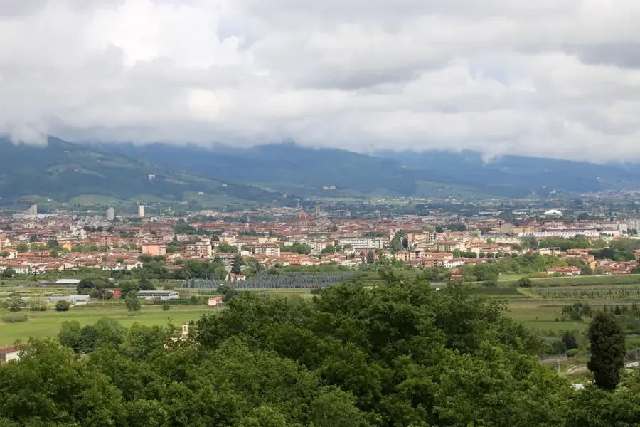
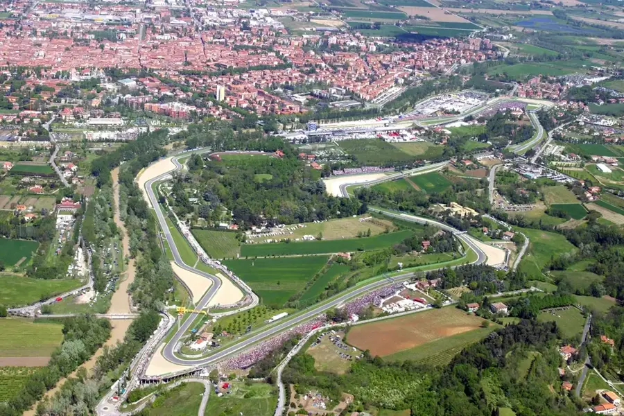
More places