Plizio Visual Lab
Aspromonte National Park
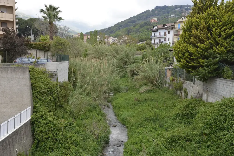
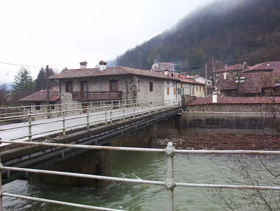
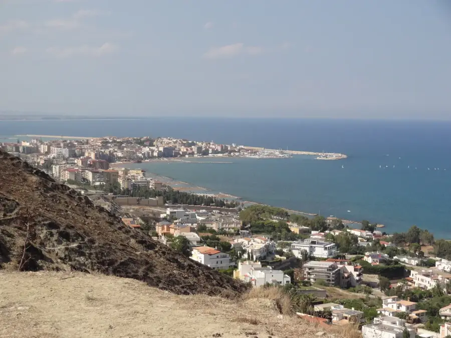
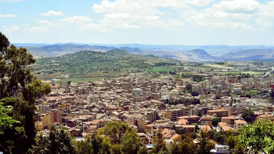
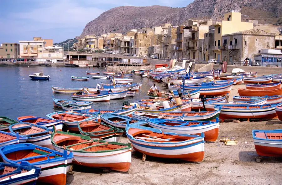
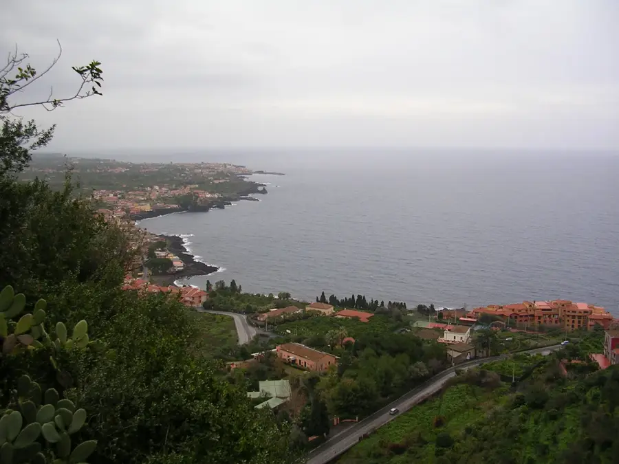
Aspromonte National Park is located at the southernmost tip of the Calabrian peninsula, forming the final part of the Apennine Mountains before the Strait of Messina. Established in 1989, the protected area is characterized by a wild and often inaccessible mountain landscape that rises sharply from the coast to altitudes of nearly 2,000 meters. Geologically, the Aspromonte massif is unique compared to the rest of the Apennines, as it is composed of very ancient crystalline rocks. The name 'Aspromonte' (rugged mountain) refers to its jagged cliffs and deep valleys carved by torrential streams known as 'fiumare.' The vegetation is highly diverse, ranging from coastal Mediterranean scrub to dense forests of beech and silver fir in the higher reaches. The park is a haven for rare species such as the Bonelli's eagle and the Italian wolf. Historically, the area is famous for the Battle of Aspromonte in 1862, where the Italian hero Giuseppe Garibaldi was wounded. Today, the park is a destination for trekking enthusiasts looking to discover pristine nature and remote mountain villages like Pentedattilo or Bova.
- Location: Italy
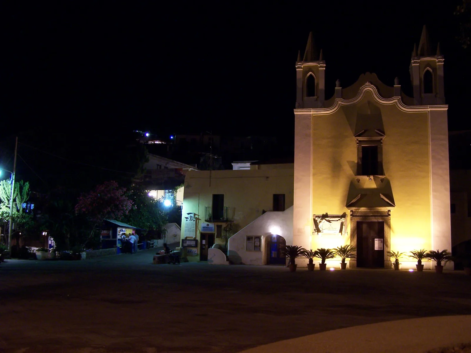
- Top sights: Montalto · Guardia di Pompeo · Belvedere 1833
- Nearby: Barritteri (19 km)
Best time to visit & climate
The most pleasant time to visit is May, Jun, Oct.
| Jan | Feb | Mar | Apr | May | Jun | Jul | Aug | Sep | Oct | Nov | Dec | |
|---|---|---|---|---|---|---|---|---|---|---|---|---|
| Avg °C | 12 | 12 | 13 | 15 | 19 | 23 | 26 | 27 | 24 | 21 | 17 | 14 |
| Rain mm | 84 | 79 | 63 | 46 | 26 | 19 | 13 | 18 | 63 | 85 | 92 | 100 |
📋 Practical info
Geography
Facts
- The park covers an area of approximately 64,000 hectares.
- The highest peak is Montalto, reaching an elevation of 1,955 meters.
- Aspromonte was officially recognized as a UNESCO Global Geopark in 2021.
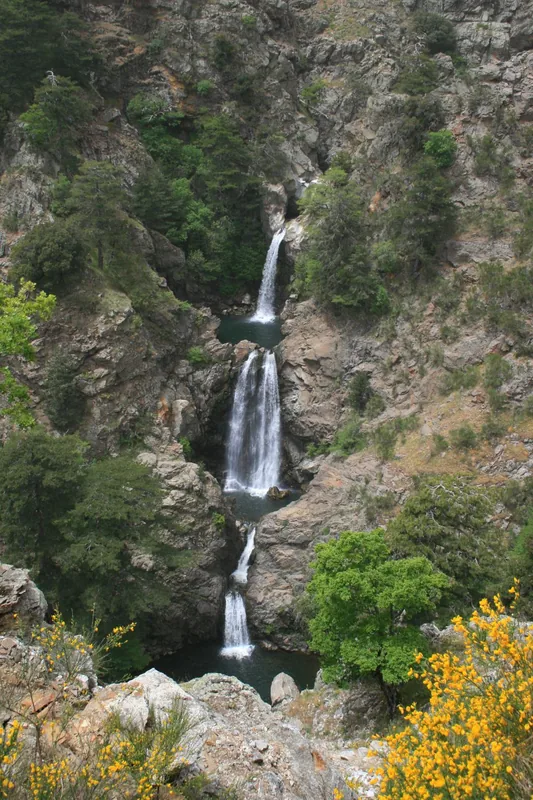
- The Maesano Waterfalls (Cascate del Marmarico) are among the highest in the region.
- The village of Bova is a center for the Greko people, who speak a dialect derived from ancient Greek.
- The Battle of Aspromonte took place on August 29, 1862, during the Italian unification.
Explore nearby
Notable places around
Route planner — Car & Motorhome
Where do you start? We build the route here, with stops and country notes along the way.
© OpenStreetMap contributors · OpenRouteService
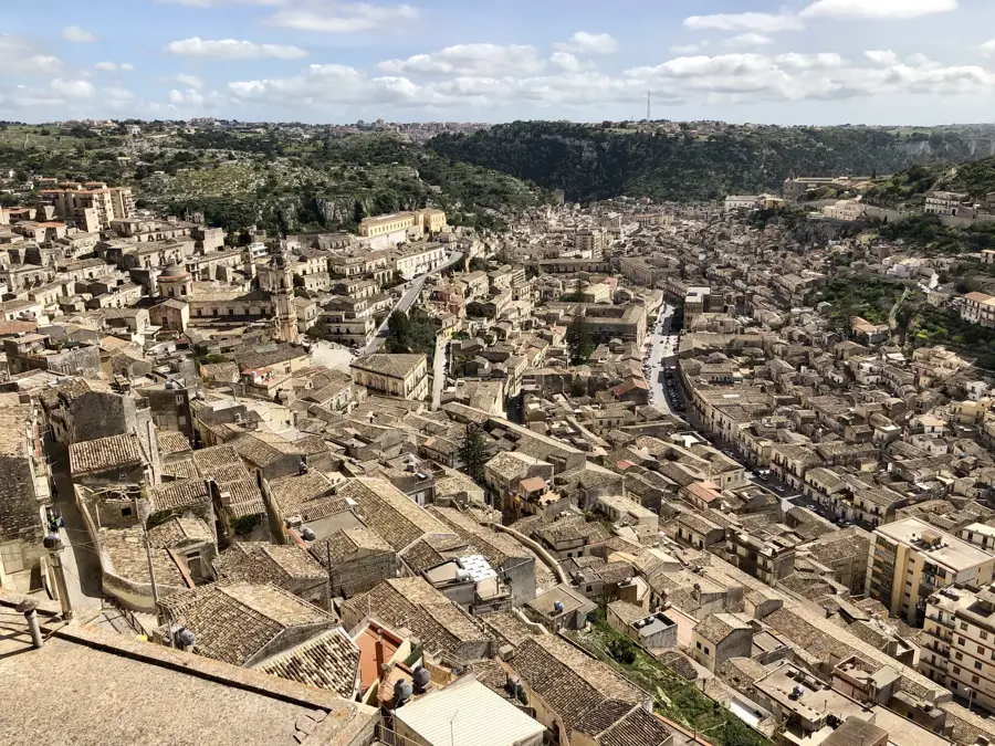
Sights in the town Aspromonte National Park (4)
Sights nearby
Frequently asked questions
Where is the Aspromonte National Park located?
What is the symbol of the park?
Are there waterfalls in the park?
What is 'Montalto'?
Can you find Greek-speaking villages in the park?
Aspromonte National Park: where is it located?
Aspromonte National Park: what is there to see?
Aspromonte National Park: when is the best time to visit?
Aspromonte National Park: why is it worth visiting?

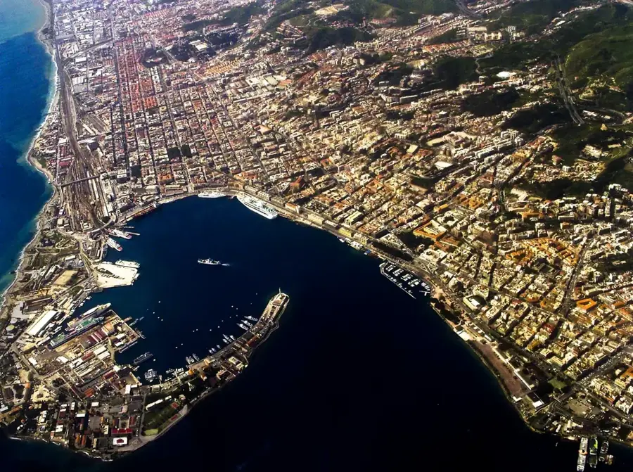
Nearby cities