Plizio Visual Lab
Slieve Gamph
Weather…
Water temperature…
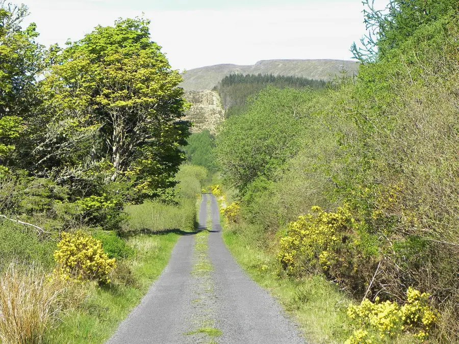
The Ox Mountains, known in Irish as Slieve Gamph, form a prominent mountain range located in counties Sligo and Mayo in northwest Ireland. Geologically, they are among the most fascinating formations in the country, consisting primarily of Pre-Cambrian gneiss and schist that date back over 600 million years. The highest point of the range is Knockalongy, which reaches an elevation of 544 meters and has expansive views across the Atlantic coastline. The landscape is characterized by rugged uplands and extensive blanket bogs, which are ecologically significant as protected conservation areas. Historically, these mountains have often served as a natural barrier and a place of refuge throughout the centuries for local inhabitants. Today, the region is a popular destination for hikers seeking untouched nature and solitary trails far from the busy tourist centers. This mountain range represents one of the oldest landscapes in Western Europe.
- Location: Ireland
- Top sights: Caltragh · Dermot & Grania's Bed · St Barbara's Well
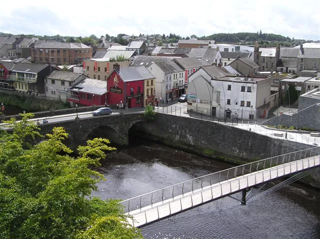
- Nearby: Inishcrone (21 km)
Best time to visit & climate
The most pleasant time to visit is Jun–Aug.
| Jan | Feb | Mar | Apr | May | Jun | Jul | Aug | Sep | Oct | Nov | Dec | |
|---|---|---|---|---|---|---|---|---|---|---|---|---|
| Avg °C | 5 | 5 | 6 | 8 | 11 | 13 | 15 | 14 | 13 | 10 | 7 | 5 |
| Rain mm | 123 | 96 | 92 | 76 | 93 | 100 | 111 | 120 | 99 | 119 | 131 | 129 |
📋 Practical info
Geography
Facts
- Knockalongy is the highest peak in the Ox Mountains at 544 meters.
- The rock consists of Pre-Cambrian gneiss, which is over 600 million years old.
- The mountains were formed during the Caledonian orogeny millions of years ago.
- Lough Talt is a significant glacial lake located within the mountain range.
- Large parts of the mountains are protected as Special Areas of Conservation (SAC).
- The region supports rare blanket bog ecosystems and threatened bird species.
Explore nearby
Notable places around
Route planner — Car & Motorhome
Where do you start? We build the route here, with stops and country notes along the way.
© OpenStreetMap contributors · OpenRouteService
Sights in the town Slieve Gamph (4)
Sights nearby
Frequently asked questions
What are the Slieve Gamph mountains?
How high is the highest peak?
What is the geological age?
Are there hiking trails?
What can be found on the uplands?
Slieve Gamph: where is it located?
Slieve Gamph: what is there to see?
Slieve Gamph: when is the best time to visit?
Slieve Gamph: why is it worth visiting?

Nearby cities