Plizio Visual Lab
Slieve Bloom
Weather…
Water temperature…
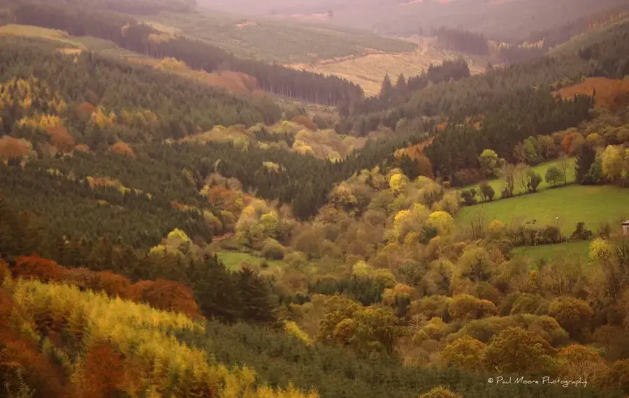
The Slieve Bloom Mountains extend across counties Laois and Offaly in the central midlands of Ireland. Geologically, they are among the oldest mountain formations in Europe, having formed approximately 400 million years ago during the Caledonian orogeny. Their highest peak is Arderin, which stands at an elevation of 527 metres. The mountains are characterised by expansive blanket bogs and dense coniferous forests, which provide a vital habitat for wildlife such as the red kite and the hen harrier. Due to their location in the middle of a plain, the summits offer clear-day views over much of the Irish midlands, reaching as far as the distant peaks of Munster and Connacht. The area is protected as a nature reserve and features an extensive network of hiking and mountain biking trails. Historically, the Slieve Blooms were a significant centre of Gaelic culture and served as a hideout for local clans during English conquests. The gentle slopes and deep river valleys also house numerous archaeological sites, including Bronze Age cairns and ringforts.
- Location: Ireland
- Top sights: Stillbrook Hill · Wolftrap Mountain
- Nearby: Roscrea (19 km)
Best time to visit & climate
The most pleasant time to visit is Jun–Aug.
| Jan | Feb | Mar | Apr | May | Jun | Jul | Aug | Sep | Oct | Nov | Dec | |
|---|---|---|---|---|---|---|---|---|---|---|---|---|
| Avg °C | 5 | 4 | 6 | 8 | 11 | 14 | 15 | 15 | 13 | 10 | 7 | 5 |
| Rain mm | 92 | 73 | 72 | 65 | 73 | 84 | 92 | 100 | 81 | 100 | 103 | 100 |
📋 Practical info
Geography
Facts
- Arderin is the highest point of the range at 527 metres.
- The mountains were formed approximately 400 million years ago.
- The area hosts one of the largest blanket bogs in Ireland.
- Slieve Bloom is a significant protected area for birds of prey.
- The range serves as the watershed for the River Barrow.
- Numerous megalithic structures are found on the mountain ridges.
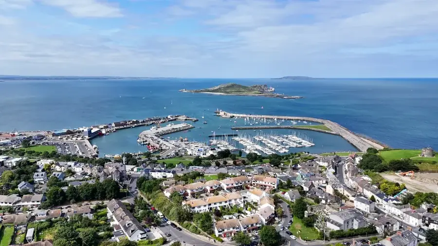
Explore nearby
Notable places around
Route planner — Car & Motorhome
Where do you start? We build the route here, with stops and country notes along the way.
© OpenStreetMap contributors · OpenRouteService
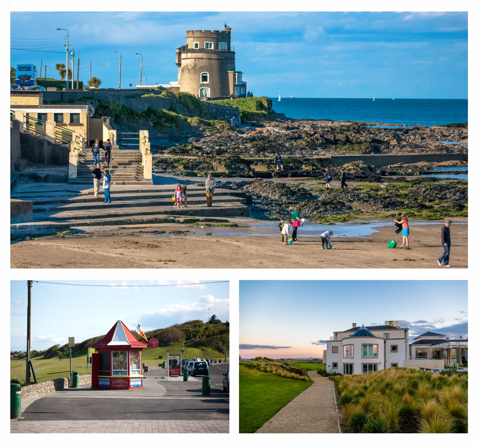
Sights in the town Slieve Bloom (2)
Sights nearby
Frequently asked questions
What makes Slieve Bloom special?
Which counties share the mountain range?
Are there mountain bike trails?
How high is the highest peak?
What is the 'Eco Walk'?
Slieve Bloom: where is it located?
Slieve Bloom: what is there to see?
Slieve Bloom: when is the best time to visit?
Slieve Bloom: why is it worth visiting?

Nearby cities