Plizio Visual Lab
Slieve Bloom Plateau
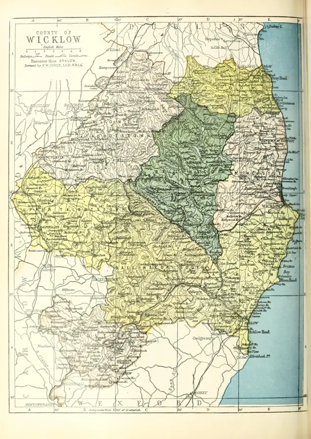
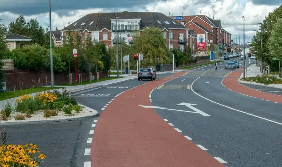
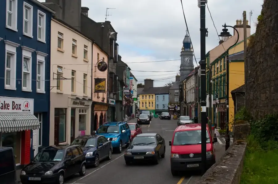
The Slieve Bloom Plateau extends across counties Offaly and Laois in the Irish midlands and is recognized as one of the oldest mountain ranges in Europe. Formed approximately 450 million years ago during the Caledonian orogeny, the range predates the formation of the Alps and the Himalayas by hundreds of millions of years. The plateau is characterized by its gentle, rounded summits and extensive blanket bogs, which are among the largest remaining in Ireland. Its highest point is Arderin, reaching 527 meters, a name derived from the Irish Ard Éireann, meaning Height of Ireland. The area is a designated nature reserve covering over 2,300 hectares, providing a critical sanctuary for the rare Hen Harrier and other specialist flora and fauna. Historically, the Slieve Blooms served as a formidable boundary between ancient Irish territories and contain numerous archaeological remains, including Bronze Age cairns and medieval settlements. Today, the plateau is a hub for outdoor recreation, featuring an extensive network of walking trails and world-class mountain biking routes. Several pristine rivers have their sources here, playing a vital role in the drainage system of the central plains.
- Location: Ireland
- Top sights: Seir Kieran's Abbey · Tulla Castle (site of) · Saint Kieran's Bush
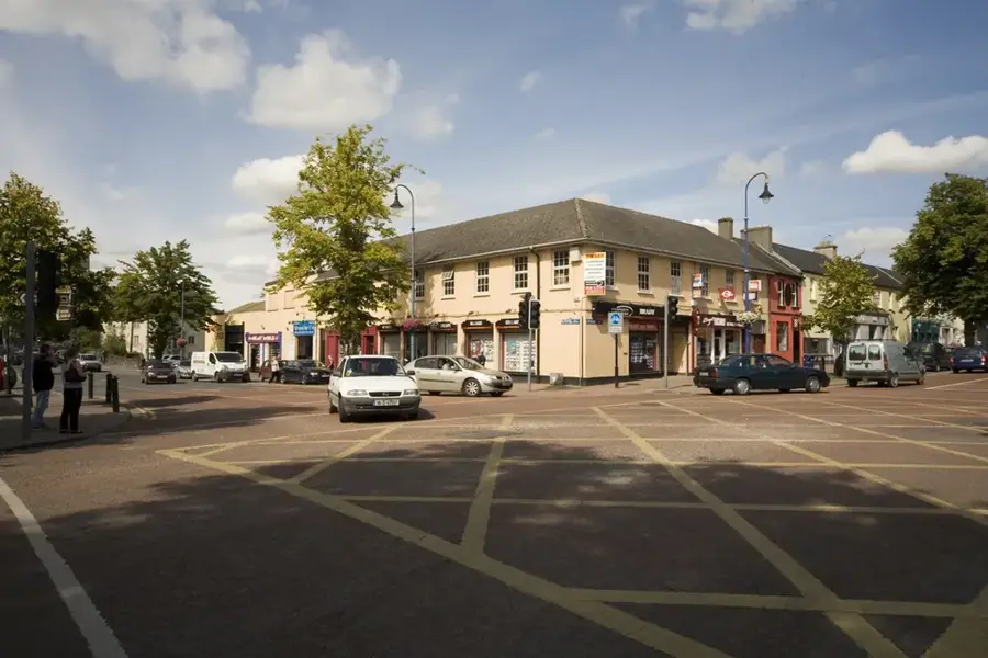
- Nearby: Roscrea (12 km)
Best time to visit & climate
The most pleasant time to visit is Jun–Aug.
| Jan | Feb | Mar | Apr | May | Jun | Jul | Aug | Sep | Oct | Nov | Dec | |
|---|---|---|---|---|---|---|---|---|---|---|---|---|
| Avg °C | 5 | 4 | 6 | 8 | 11 | 14 | 15 | 15 | 13 | 10 | 7 | 5 |
| Rain mm | 92 | 73 | 72 | 65 | 73 | 84 | 92 | 100 | 81 | 100 | 103 | 100 |
📋 Practical info
Geography
Facts
- Highest peak Arderin reaches 527 meters
- Geological age of approximately 450 million years
- Spans the border of Offaly and Laois counties
- Designated sanctuary for the Hen Harrier bird
- Protected area covers over 2,300 hectares
- Part of the oldest mountain system in Europe
Explore nearby
Notable places around
Route planner — Car & Motorhome
Where do you start? We build the route here, with stops and country notes along the way.
© OpenStreetMap contributors · OpenRouteService
Sights in the town Slieve Bloom Plateau (5)
Sights nearby
Frequently asked questions
Where is the Slieve Bloom Plateau located?
Are there mountain bike trails there?
What is the highest point?
Can rare animals be seen there?
Are there picnic spots?
Slieve Bloom Plateau: where is it located?
Slieve Bloom Plateau: what is there to see?
Slieve Bloom Plateau: when is the best time to visit?
Slieve Bloom Plateau: why is it worth visiting?

Nearby cities