Plizio Visual Lab
Slieve Bloom Mountains
Weather…
Water temperature…
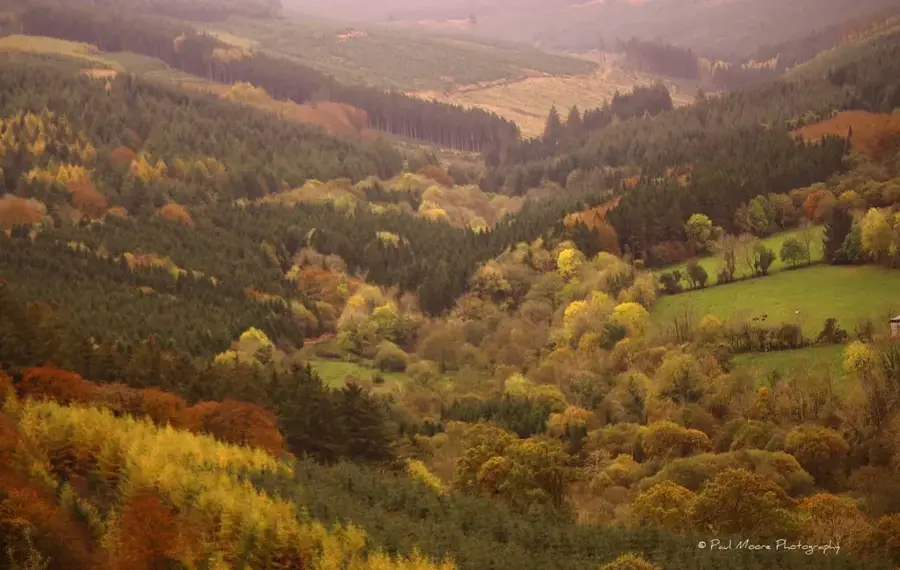
The Slieve Bloom Mountains span the borders of Counties Laois and Offaly in central Ireland and are regarded as some of the oldest mountains in Europe. Formed approximately 400 million years ago from Silurian rock and Devonian sandstone, they predate the Alps significantly. The landscape is characterized by expansive blanket bogs, deep valleys, and dense coniferous forests, which provide a critical habitat for the rare Hen Harrier. The region is renowned for its unspoiled nature and has numerous trails, such as the Slieve Bloom Way, which leads hikers through scenic glens like Glenbarrow. Historically, the mountains served as a natural barrier and a stronghold for local clans during English conquests. Today, they serve as a hub for ecotourism and outdoor activities, with a strong focus on preserving the delicate peatland and forest ecosystems.
- Location: Ireland
- Top sights: Carroll's Hill · Barcam · Knocknaman
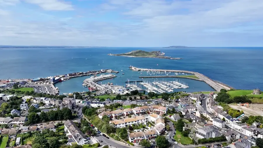
- Nearby: Birr (17 km)
Best time to visit & climate
The most pleasant time to visit is Jun–Aug.
| Jan | Feb | Mar | Apr | May | Jun | Jul | Aug | Sep | Oct | Nov | Dec | |
|---|---|---|---|---|---|---|---|---|---|---|---|---|
| Avg °C | 5 | 4 | 6 | 8 | 11 | 14 | 15 | 15 | 13 | 10 | 7 | 5 |
| Rain mm | 92 | 73 | 72 | 65 | 73 | 84 | 92 | 100 | 81 | 100 | 103 | 100 |
📋 Practical info
Geography
Facts
- Arderin is the highest point in the Slieve Bloom Mountains at 527 meters.
- The mountains are primarily composed of Devonian Old Red Sandstone.
- The rivers Barrow and Nore both have their sources in these mountains.
- The blanket bog in Slieve Bloom is one of the most intact in Ireland.
- In 1985, a significant portion of the range was designated as a Nature Forest Reserve.
- The Hen Harrier uses the area as one of its most important breeding grounds in Ireland.
Explore nearby
Notable places around
Route planner — Car & Motorhome
Where do you start? We build the route here, with stops and country notes along the way.
© OpenStreetMap contributors · OpenRouteService
Sights in the town Slieve Bloom Mountains (3)
Sights nearby
Frequently asked questions
Are the Slieve Bloom Mountains good for hiking?
Are there mountain bike trails?
How high are the mountains?
Where is the best place to park?
Are there guided walks available?
Slieve Bloom Mountains: where is it located?
Slieve Bloom Mountains: what is there to see?
Slieve Bloom Mountains: when is the best time to visit?
Slieve Bloom Mountains: why is it worth visiting?

Nearby cities