Plizio Visual Lab
Slieve Anierin
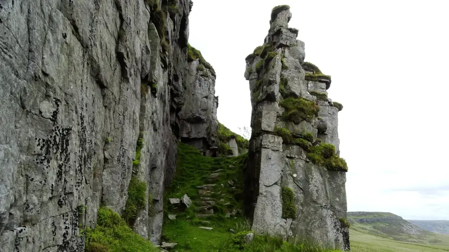
Slieve Anierin, also known as the Mountain of Iron (Sliabh an Iarainn), is a prominent hill in County Leitrim, rising to 585 meters above sea level. Its name derives from the iron ore deposits found on its slopes, which were mined extensively from the 17th to the 19th centuries to fuel local smelting industries. The mountain is part of the Cuilcagh-Anierin Uplands and is composed of layers of sandstone, shale, and coal, which contributed to its significant mining history. From the summit, one can see wide vistas across the Shannon waterway and the numerous lakes of Leitrim and Cavan. The area is steeped in Irish mythology, often associated with the Tuatha Dé Danann, who were said to have landed here according to legends. Today, it is an important site for biodiversity, supporting upland bird species and rare mountain plants within its rugged terrain. Walking trails lead visitors through the former mining landscape, providing insights into the region's unique geological structure.
- Location: Ireland
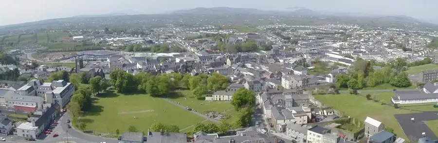
- Nearby: Manorhamilton (24 km)
Best time to visit & climate
The most pleasant time to visit is Jun–Aug.
| Jan | Feb | Mar | Apr | May | Jun | Jul | Aug | Sep | Oct | Nov | Dec | |
|---|---|---|---|---|---|---|---|---|---|---|---|---|
| Avg °C | 4 | 4 | 6 | 8 | 11 | 13 | 15 | 14 | 13 | 10 | 7 | 5 |
| Rain mm | 118 | 93 | 90 | 75 | 94 | 102 | 111 | 119 | 98 | 117 | 124 | 122 |
📋 Practical info
Geography
Facts
- Slieve Anierin is the highest point in the locality at 585 meters.
- Iron ore from here was used to manufacture cannonballs in the past.
- The mountain is geologically composed of Carboniferous rock layers.
- Folklore identifies the mountain as the landing place of the Tuatha Dé Danann.
- Coal mining continued on the slopes until the middle of the 20th century.
- The annual Iron Fair in Drumshanbo celebrates the local mining heritage.
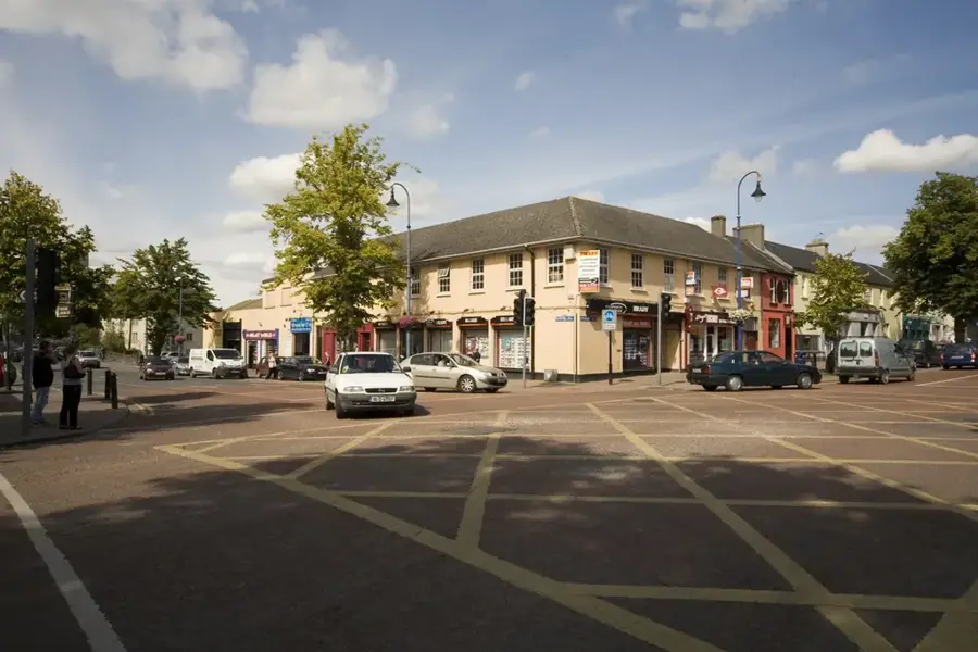
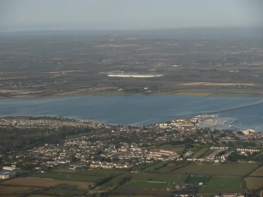
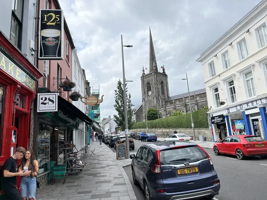
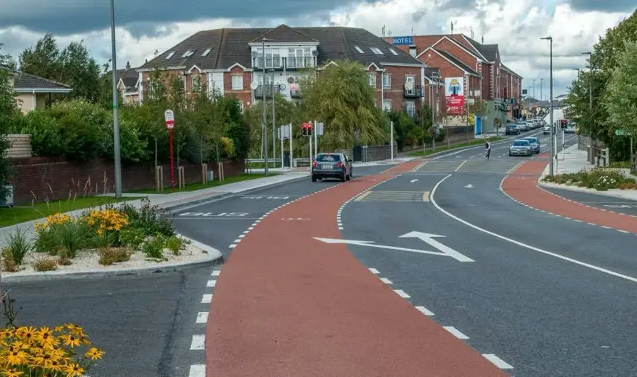
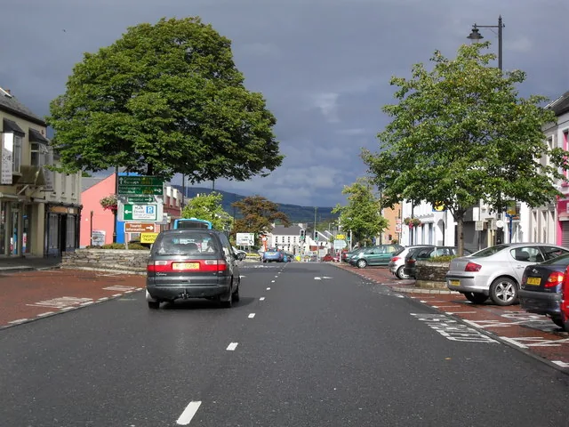
Explore nearby
Notable places around
Route planner — Car & Motorhome
Where do you start? We build the route here, with stops and country notes along the way.
© OpenStreetMap contributors · OpenRouteService
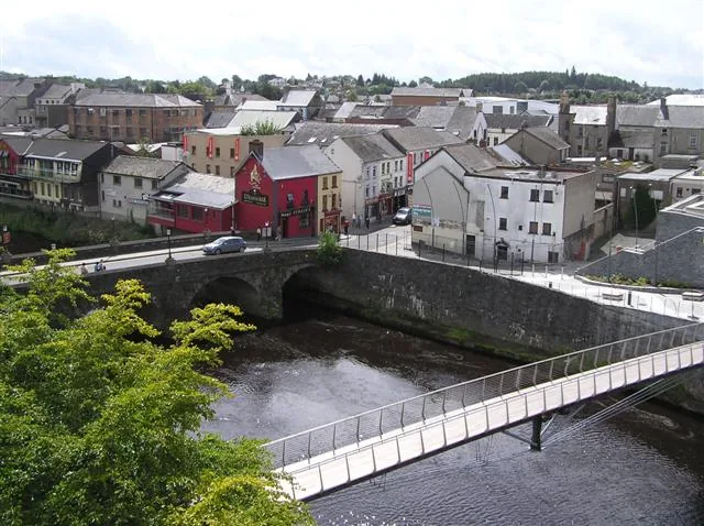
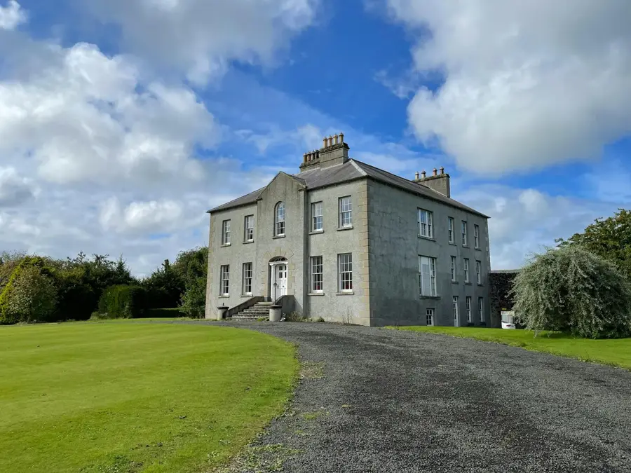
Sights in the town Slieve Anierin (1)
Sights nearby
Frequently asked questions
In which county is Slieve Anierin?
What does the name mean?
Are there marked trails?
How high is the mountain?
Is the terrain often wet?
Slieve Anierin: where is it located?
Slieve Anierin: when is the best time to visit?
Slieve Anierin: why is it worth visiting?

Nearby cities