Plizio Visual Lab
Dartry Mountains
Weather…
Water temperature…
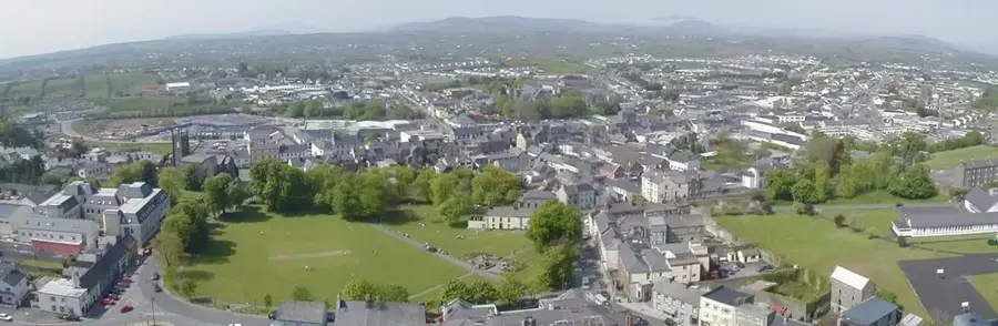
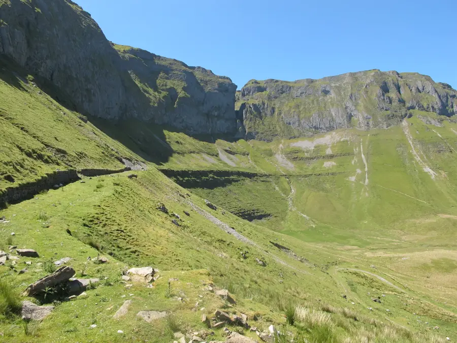
The Dartry Mountains are a striking limestone range in northwestern Ireland, spanning the counties of Sligo and Leitrim. Their most famous landmark is Benbulben, an iconic flat-topped mountain that is often compared to Ayers Rock in Australia due to its vertical slopes. However, the highest peak in the range is actually Truskmore, which rises to 647 metres. Geologically, the mountains are composed of Carboniferous limestone, which has been eroded into dramatic plateaus and steep cliffs over millions of years. This terrain supports a unique array of arctic-alpine flora not found elsewhere in Ireland, including rare species like the marsh saxifrage. The Dartry Mountains are also rich in cave systems and distinctive geological features such as the Gleniff Horseshoe. Culturally, the area is inseparable from the poet W.B. Yeats, who is buried in the village of Drumcliff under the shadow of Benbulben. The landscape inspired many of his famous verses. Today, the range is a prime destination for hikers and climbers, offering challenging routes and panoramic views over the Atlantic. The entire area is a designated protected site to preserve its delicate ecosystems and rare plant species.
- Location: Ireland
- Top sights: Castle Car · Keelogyboy Mountain · Leean Mountain
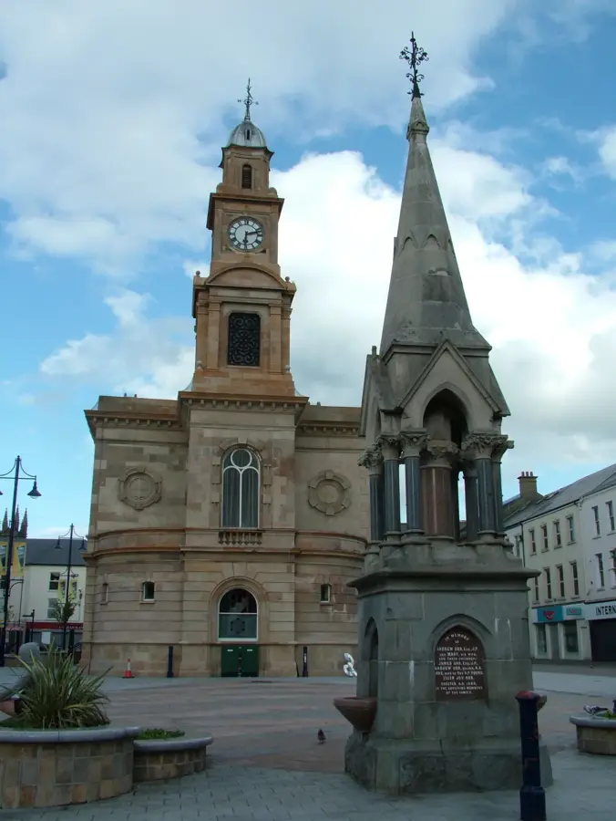
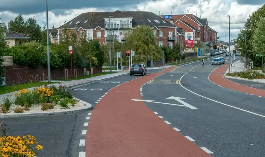
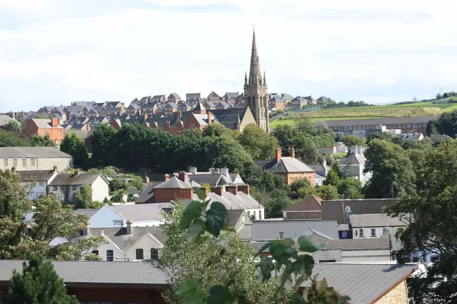
- Nearby: Manorhamilton (13 km)
Best time to visit & climate
The most pleasant time to visit is Jul–Sep.
| Jan | Feb | Mar | Apr | May | Jun | Jul | Aug | Sep | Oct | Nov | Dec | |
|---|---|---|---|---|---|---|---|---|---|---|---|---|
| Avg °C | 7 | 7 | 7 | 9 | 11 | 13 | 15 | 15 | 14 | 12 | 9 | 8 |
| Rain mm | 141 | 109 | 99 | 76 | 92 | 94 | 107 | 118 | 102 | 129 | 151 | 149 |
📋 Practical info
Geography
Facts
- Highest peak: Truskmore (647 m)
- Famous for the flat-topped Benbulben
- Geology: Carboniferous limestone plateaus
- Home to rare arctic-alpine flora
- Burial place of poet W.B. Yeats nearby
- Significant cave systems and karst features
Explore nearby
Notable places around
Route planner — Car & Motorhome
Where do you start? We build the route here, with stops and country notes along the way.
© OpenStreetMap contributors · OpenRouteService
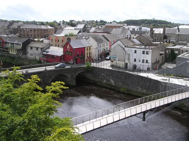
Sights in the town Dartry Mountains (5)
Sights nearby
Frequently asked questions
Which famous mountain belongs to the Dartry Mountains?
Are there caves there?
Is the terrain suitable for cyclists?
What is the legend of Diarmuid and Gráinne?
What is the weather like there?
Dartry Mountains: where is it located?
Dartry Mountains: what is there to see?
Dartry Mountains: when is the best time to visit?
Dartry Mountains: why is it worth visiting?

Nearby cities