Plizio Visual Lab
Nephin Beg Range
Weather…
Water temperature…
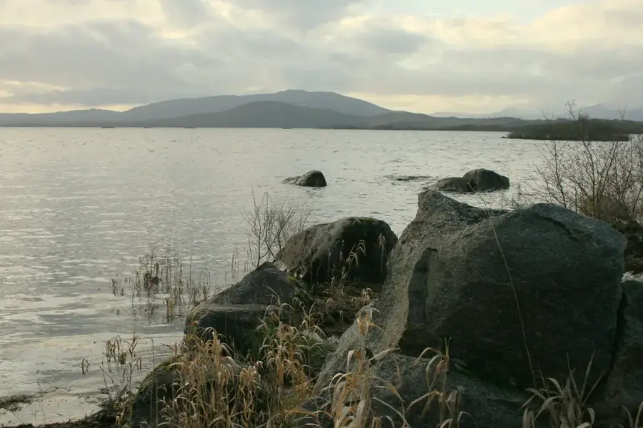
The Nephin Beg Range in County Mayo forms the mountainous backbone of Wild Nephin National Park, one of Ireland's most remote wilderness areas. The range is composed primarily of hard quartzite and gneiss, resulting in a rugged, treeless landscape characterized by vast blanket bogs and deep valleys. Featuring prominent peaks like Nephin Beg (627 m) and Slieve Carr (721 m), the region gives challenging terrain for experienced hikers far from marked paths. The area was originally established in 1998 as Ballycroy National Park to protect one of the largest intact bog systems in Western Europe. In 2016, the park was certified as an International Dark Sky Park due to having some of the lowest light pollution levels in Europe. The flora includes specialized species like sundews and bog cotton, while the peregrine falcon and golden plover find essential nesting sites here. The isolation of the mountains makes them a critical sanctuary for indigenous biodiversity.
- Location: Ireland
- Top sights: Wild Nephin National Park · Nephin Beg
- Nearby: Gweesalia (22 km)
Best time to visit & climate
The most pleasant time to visit is Jun–Aug.
| Jan | Feb | Mar | Apr | May | Jun | Jul | Aug | Sep | Oct | Nov | Dec | |
|---|---|---|---|---|---|---|---|---|---|---|---|---|
| Avg °C | 6 | 5 | 6 | 8 | 11 | 13 | 14 | 14 | 13 | 10 | 8 | 6 |
| Rain mm | 129 | 100 | 94 | 76 | 92 | 97 | 112 | 118 | 103 | 122 | 136 | 136 |
📋 Practical info
Geography
Facts
- Slieve Carr is the highest peak in the range, standing at 721 meters.
- The national park covers a total area of 150 square kilometers.
- The area hosts the largest active blanket bog system in Ireland.
- The mountains were formed approximately 600 million years ago.
- The park was granted Gold Tier Dark Sky Park status in 2016.
- There are no permanent human settlements within the mountain range.
Explore nearby
Notable places around
Route planner — Car & Motorhome
Where do you start? We build the route here, with stops and country notes along the way.
© OpenStreetMap contributors · OpenRouteService
Sights in the town Nephin Beg Range (2)
Sights nearby
Frequently asked questions
Where is the Nephin Beg Range located?
Which is the highest peak?
Is the terrain suitable for beginners?
Are there drinking water sources there?
What is the Bangor Trail?
Nephin Beg Range: where is it located?
Nephin Beg Range: what is there to see?
Nephin Beg Range: when is the best time to visit?
Nephin Beg Range: why is it worth visiting?

Nearby cities