Plizio Visual Lab
Galtymore
Weather…
Water temperature…
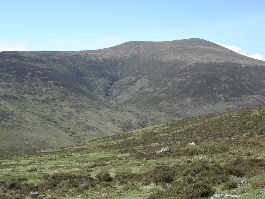
Galtymore is the highest peak in the Galty Mountains of Ireland, reaching an elevation of 917 meters above sea level. It is situated on the border between County Limerick and County Tipperary, making it the highest point in both counties. Geologically, the mountain is composed of Old Red Sandstone, which was uplifted and folded during the Variscan orogeny approximately 300 million years ago. Its northern face features dramatic glacial corries formed during the last Ice Age, which now contain the notable mountain lake Lough Curra. Historically, the rugged terrain of the Galtees provided refuge for rebels and dispossessed populations during various periods of conflict in Irish history. The summit is a popular destination for hillwalkers and is classified as a Furth, a Munro, and a Marilyn due to its height and prominence. A prominent iron cross was erected at the summit in 1975 by a group from Tipperary, replacing a previous wooden structure that had succumbed to the elements.
- Location: Ireland
- Top sights: Galtymore · Knockeenatoung
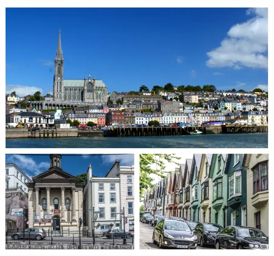
- Nearby: Tipperary (12 km)
Best time to visit & climate
The most pleasant time to visit is Jun–Aug.
| Jan | Feb | Mar | Apr | May | Jun | Jul | Aug | Sep | Oct | Nov | Dec | |
|---|---|---|---|---|---|---|---|---|---|---|---|---|
| Avg °C | 5 | 5 | 6 | 8 | 11 | 14 | 15 | 15 | 13 | 10 | 7 | 5 |
| Rain mm | 100 | 79 | 77 | 69 | 77 | 85 | 92 | 98 | 82 | 105 | 113 | 110 |
📋 Practical info
Geography
Facts
- Elevation of 917 meters above sea level
- Border point of counties Limerick and Tipperary
- Composed of Old Red Sandstone from the Devonian
- Summit iron cross erected in 1975
- Home to the glacial corrie lake Lough Curra
- Ranked as the 14th highest peak in Ireland
Explore nearby
Notable places around
Route planner — Car & Motorhome
Where do you start? We build the route here, with stops and country notes along the way.
© OpenStreetMap contributors · OpenRouteService
Frequently asked questions
Where is Galtymore located?
How high is the mountain?
Which route leads to the summit?
Are there lakes there?
What is the difficulty of the hike?
Galtymore: where is it located?
Galtymore: what is there to see?
Galtymore: when is the best time to visit?
Galtymore: why is it worth visiting?

Nearby cities