Plizio Visual Lab
Knockmealdown Mountains
Weather…
Water temperature…
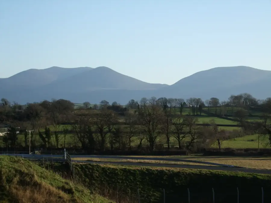
The Knockmealdown Mountains are a prominent mountain range located on the border between counties Tipperary and Waterford in southern Ireland. The highest point of the massif is Knockmealdown itself, which reaches an elevation of 794 metres and features expansive views over the Blackwater Valley and the counties of Munster. Geologically, the range is composed of Old Red Sandstone, folded during the Variscan orogeny. A well-known feature of the region is the 'V-Pass', a deep, glacially-sculpted gap through which a scenic road travels. In the summer months, the lower slopes are often covered in blooming rhododendrons, which, while aesthetically pleasing, pose a challenge to the local ecosystem as an invasive species. The mountains are a popular destination for hikers and naturalists, as they host important blanket bog habitats. Historically, the region was a site of events during the Irish Civil War in the early 20th century, with the inaccessible slopes holding strategic significance.
- Location: Ireland
- Top sights: Sugarloaf Hill · Knockshanahullion
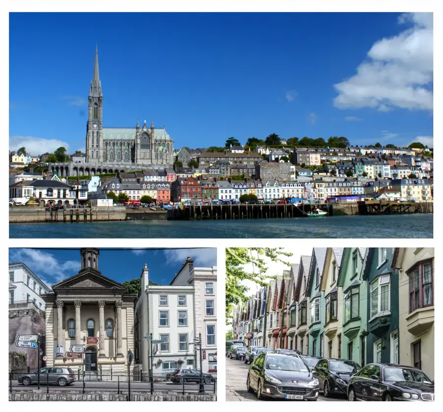
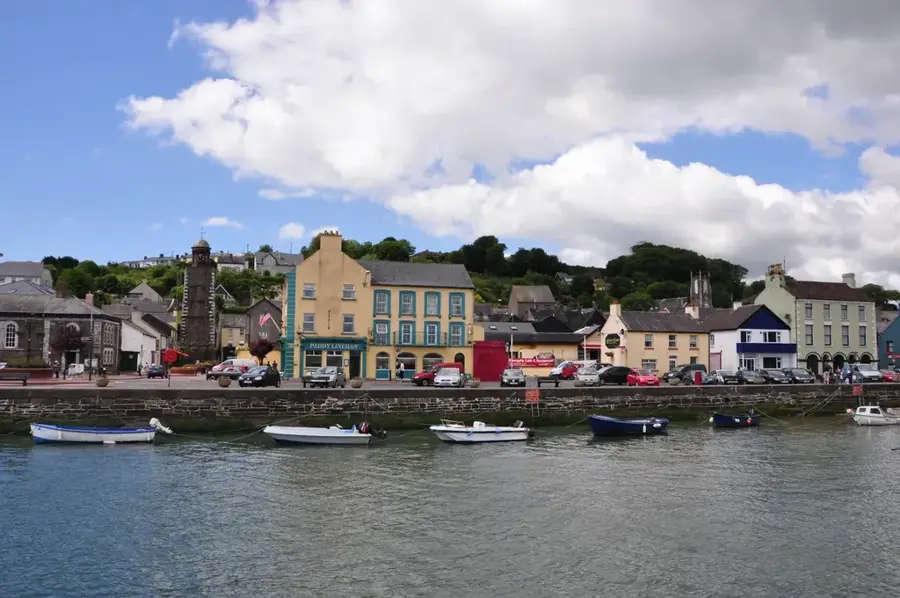
- Nearby: Cahir (16 km)
Best time to visit & climate
The most pleasant time to visit is Jul–Sep.
| Jan | Feb | Mar | Apr | May | Jun | Jul | Aug | Sep | Oct | Nov | Dec | |
|---|---|---|---|---|---|---|---|---|---|---|---|---|
| Avg °C | 6 | 6 | 7 | 9 | 11 | 14 | 15 | 15 | 14 | 11 | 8 | 7 |
| Rain mm | 105 | 80 | 82 | 73 | 78 | 85 | 88 | 95 | 81 | 115 | 115 | 116 |
📋 Practical info
Geography
Facts
- The highest peak, Knockmealdown, reaches 794 metres.
- The mountain range extends in an east-west direction.
- The V-Pass is a famous geomorphological feature of the area.
- Invasive rhododendrons cover large parts of the lower slopes.
- The mountains are predominantly composed of Old Red Sandstone.
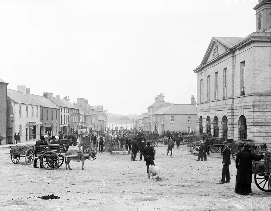
- Liam Lynch, an IRA leader, died here in 1923.
Explore nearby
Notable places around
Route planner — Car & Motorhome
Where do you start? We build the route here, with stops and country notes along the way.
© OpenStreetMap contributors · OpenRouteService
Sights in the town Knockmealdown Mountains (2)
Sights nearby
Frequently asked questions
Where are the Knockmealdown Mountains located?
What is the most famous sight there?
How high is the highest peak?
Are there hiking trails?
What is Samuel Grubb's Grave?
Knockmealdown Mountains: where is it located?
Knockmealdown Mountains: what is there to see?
Knockmealdown Mountains: when is the best time to visit?
Knockmealdown Mountains: why is it worth visiting?

Nearby cities