Plizio Visual Lab
Galtee Mountains
Weather…
Water temperature…
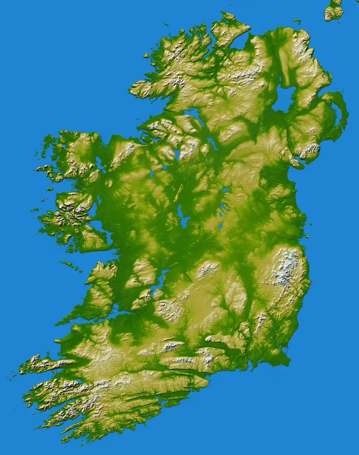
The Galtee Mountains are Ireland's highest inland mountain range, stretching across the borders of counties Tipperary and Limerick in the province of Munster. The highest peak in the range is Galtymore, which reaches an elevation of 918 metres and features a prominent silhouette shaped by glacial activity. Geologically, the massif is predominantly composed of Old Red Sandstone, which was folded during the Variscan orogeny. In the upper reaches, impressive corries and glacial lakes such as Lough Curra can be found, serving as evidence of the last ice age. The area is a significant centre for hillwalking and provides a habitat for a diverse range of mountain flora and fauna. Historically, the steep slopes and secluded valleys often served as a refuge during times of political unrest in Ireland. Today, the mountains are a protected natural area known for their expansive views across the fertile Golden Valley.
- Location: Ireland
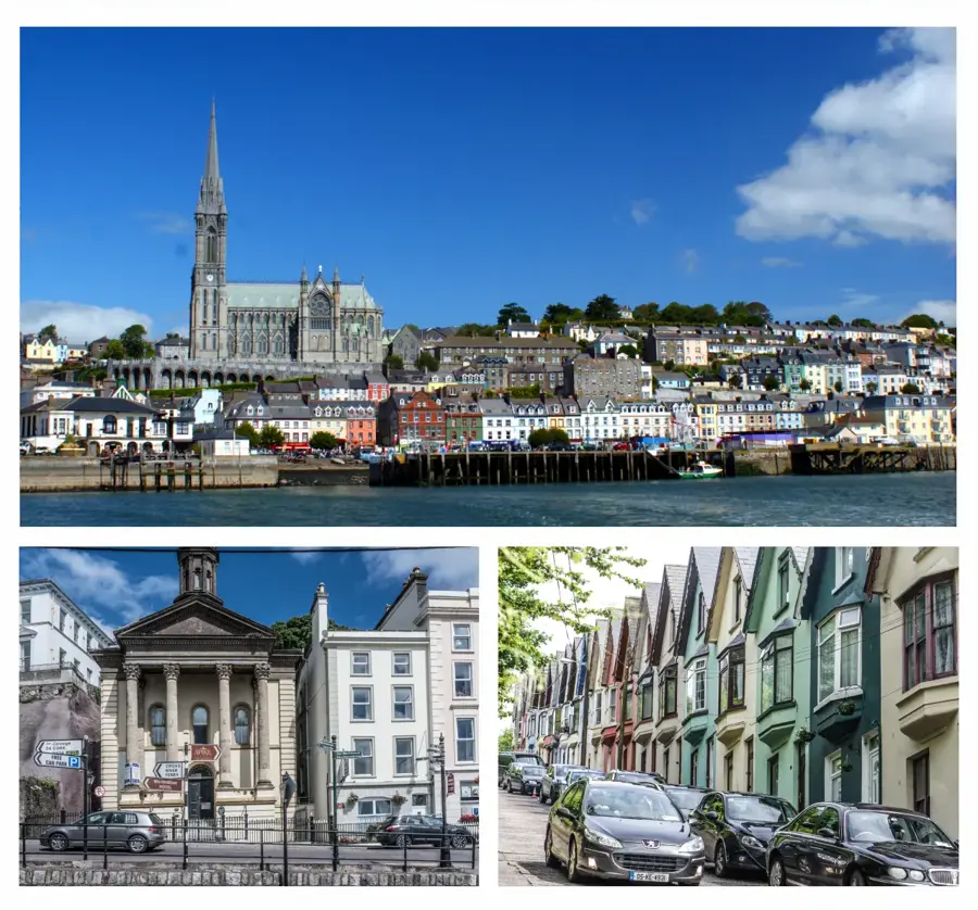
- Nearby: Tipperary (13 km)
Best time to visit & climate
The most pleasant time to visit is Jun–Aug.
| Jan | Feb | Mar | Apr | May | Jun | Jul | Aug | Sep | Oct | Nov | Dec | |
|---|---|---|---|---|---|---|---|---|---|---|---|---|
| Avg °C | 5 | 5 | 6 | 8 | 11 | 14 | 15 | 15 | 13 | 10 | 7 | 5 |
| Rain mm | 100 | 79 | 77 | 69 | 77 | 85 | 92 | 98 | 82 | 105 | 113 | 110 |
📋 Practical info
Geography
Facts
- Galtymore is the highest peak in the range at 918 metres.
- The mountain range extends for approximately 20 kilometres.
- Lough Curra is situated in a deep corrie at 560 metres elevation.
- Geologically, Old Red Sandstone over 350 million years old dominates.
- The region contains five of the highest inland peaks in Ireland.
- The name is derived from the Irish 'Sléibhte na nGailte'.
Explore nearby
Notable places around
Route planner — Car & Motorhome
Where do you start? We build the route here, with stops and country notes along the way.
© OpenStreetMap contributors · OpenRouteService
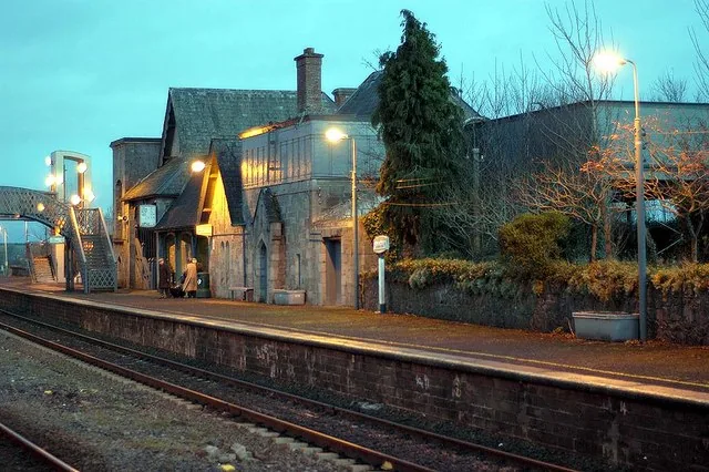
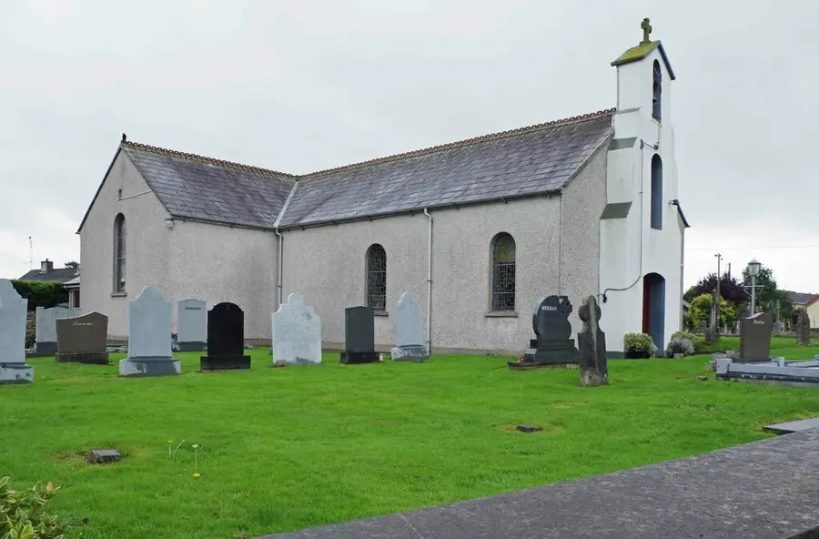
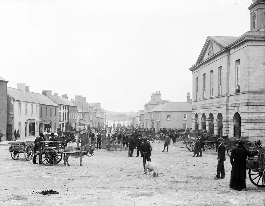
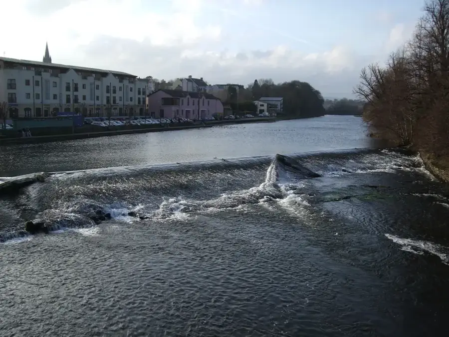
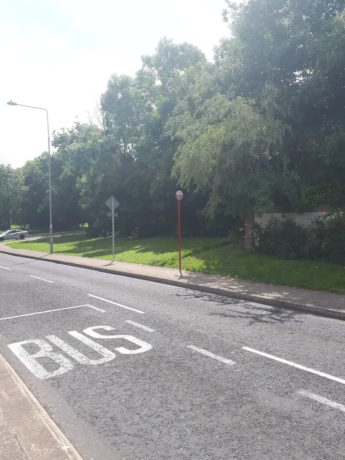
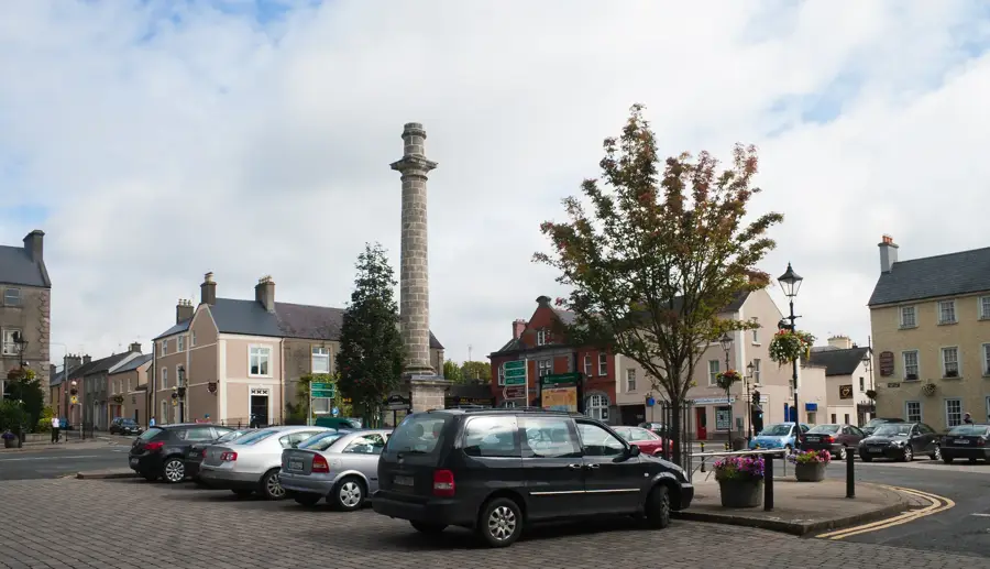
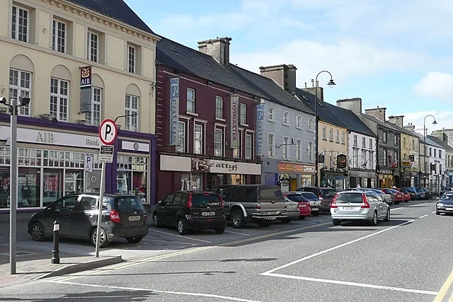
Sights in the town Galtee Mountains (1)
Sights nearby
Frequently asked questions
Which is the highest peak of the Galtees?
In which region are the mountains located?
Is hiking difficult there?
Are there mountain lakes?
Where is the best place to start for Galtymore?
Galtee Mountains: where is it located?
Galtee Mountains: when is the best time to visit?
Galtee Mountains: why is it worth visiting?

Nearby cities