Plizio Visual Lab
Great Zab
Weather…
Water temperature…
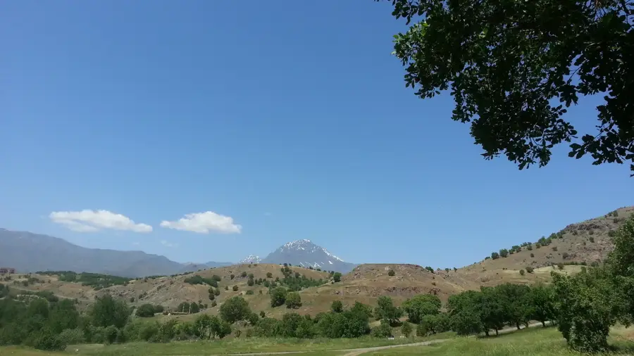
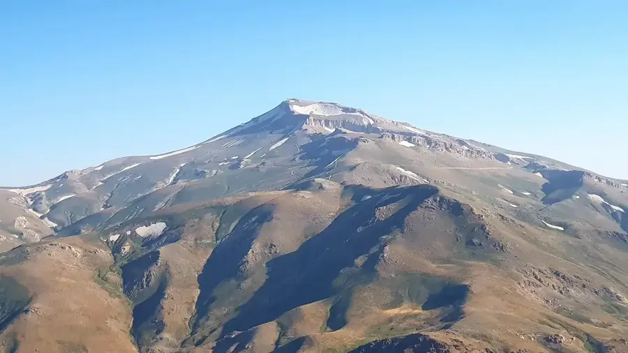
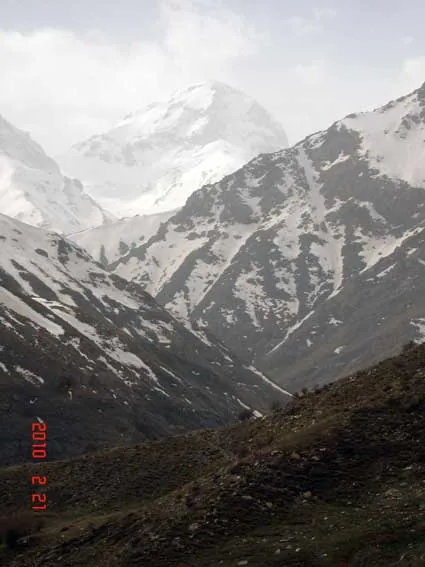
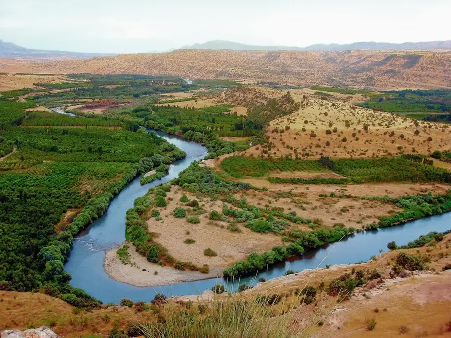
The Great Zab River has a course of almost 400 kilometers and is categorized as the most water-rich and substantial tributary that feeds the basin of the Tigris River. Its primary geographical sources are located deep inside the Hakkari mountainous perimeter in the southeastern section of Turkey, at an altitude close to the value of 3,000 meters. Its course transits steep-walled defiles and hard-to-reach canyons, heading towards the Iraqi border, where it later crosses the Kurdistan administrative region. The catchment basin of the Great Zab totals a geographical area of approximately 26,200 square kilometers and receives enormous flows of water resulting from the rapid melting of the alpine snow layer during the spring. The tributary makes the connection with the Tigris riverbed at a distance of about 50 kilometers south of Mosul.
- Location: Iraq
- Nearby: Akre (86 km)
Best time to visit & climate
The most pleasant time to visit is Apr, May, Oct.
| Jan | Feb | Mar | Apr | May | Jun | Jul | Aug | Sep | Oct | Nov | Dec | |
|---|---|---|---|---|---|---|---|---|---|---|---|---|
| Avg °C | 7 | 9 | 14 | 19 | 25 | 32 | 35 | 35 | 30 | 24 | 14 | 9 |
| Rain mm | 42 | 37 | 50 | 42 | 16 | 2 | 1 | 1 | 2 | 18 | 31 | 41 |
📋 Practical info
Geography
Facts
- River measures a physical length of almost 400 kilometers.
- Source is located in the Hakkari mountain massif, Turkey.
- Collection basin covers 26,200 square kilometers.
- Hydrological volume is generated largely by melting snow.
- Makes the connection with the Tigris 50 km south of Mosul.
- Doubles the water volume of the Tigris at the confluence.
Explore nearby
Notable places around
Route planner — Car & Motorhome
Where do you start? We build the route here, with stops and country notes along the way.
© OpenStreetMap contributors · OpenRouteService
Sights nearby
Frequently asked questions
What is special about the Great Zab?
Is swimming allowed there?
What animals live in the river?
Where is the best place to see the river?
Are there waterfalls there?
Great Zab: where is it located?
Great Zab: when is the best time to visit?
Great Zab: why is it worth visiting?

Nearby cities
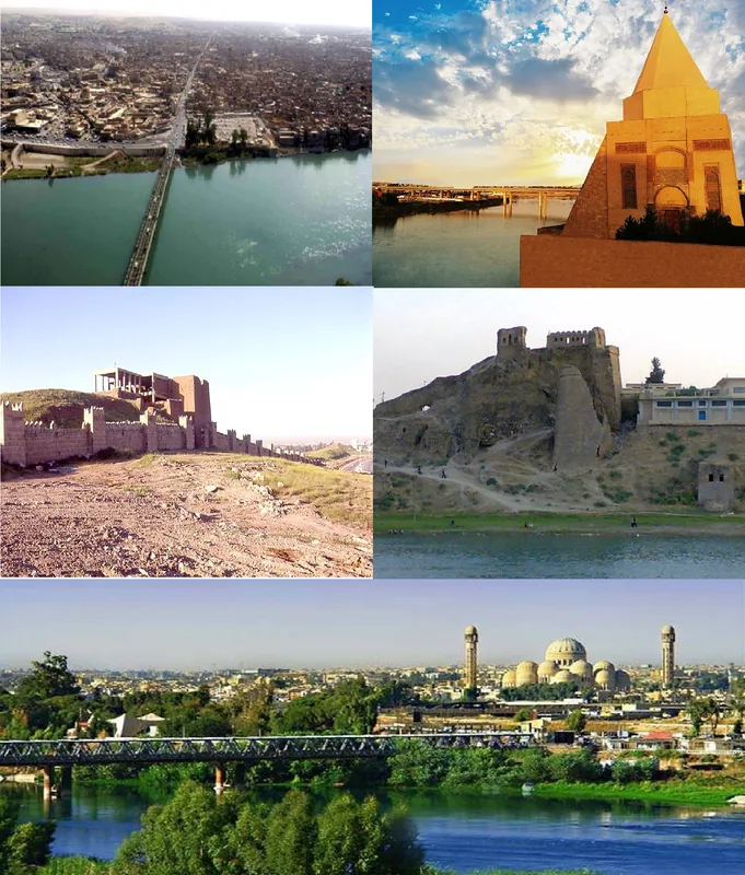
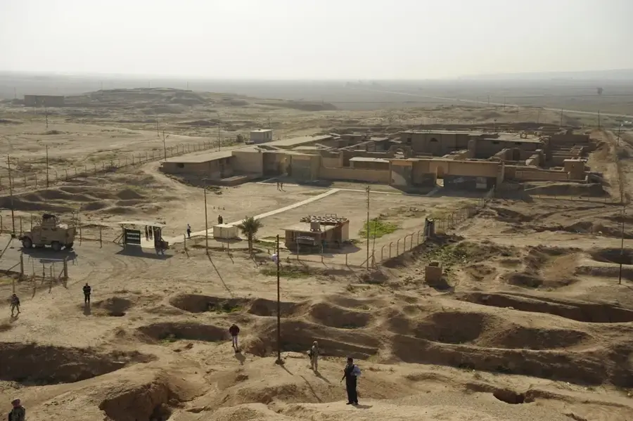
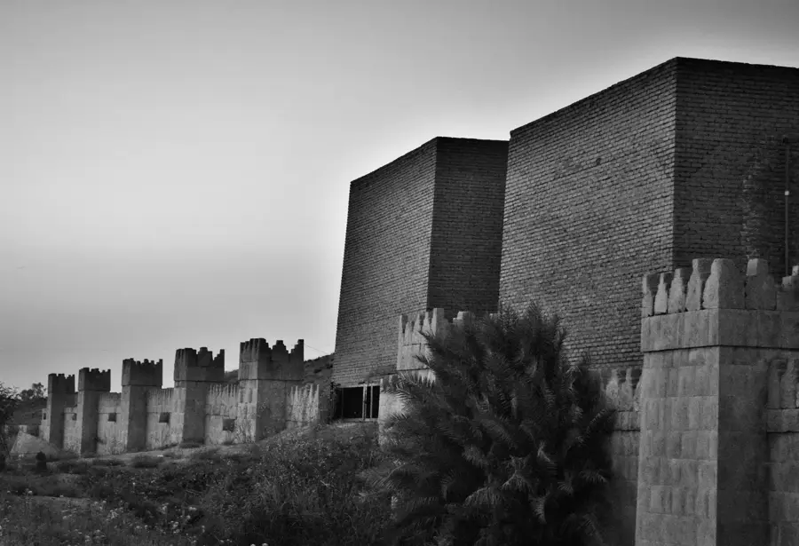
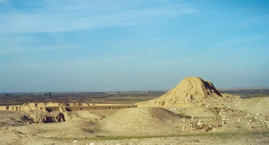
History & landmarks
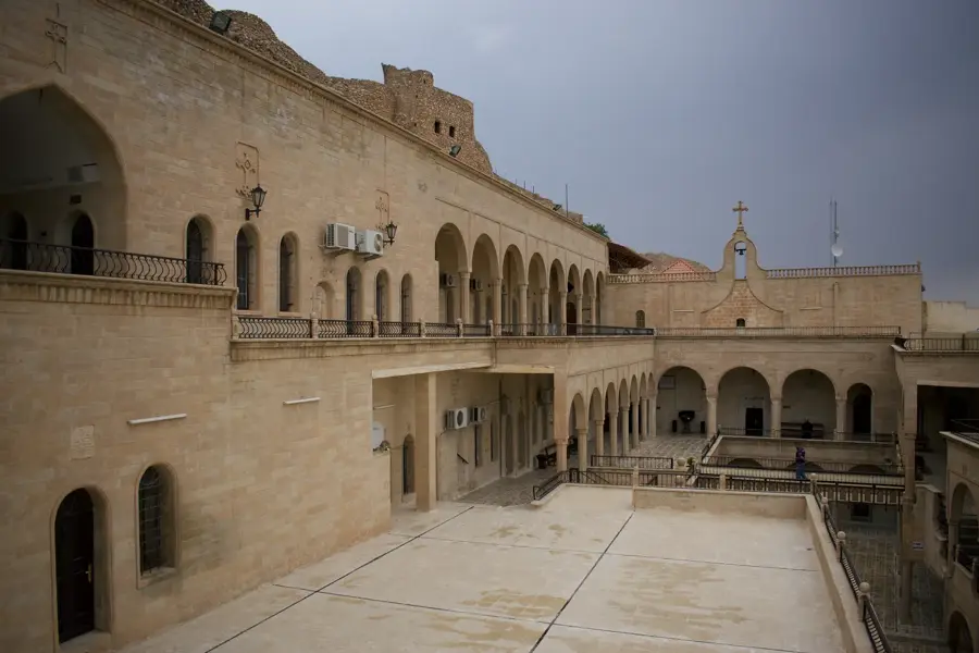
More places