Plizio Visual Lab
Hamrin Mountains
Weather…
Water temperature…
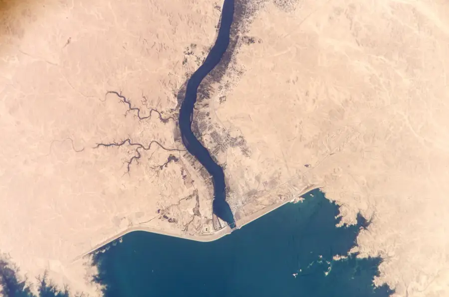
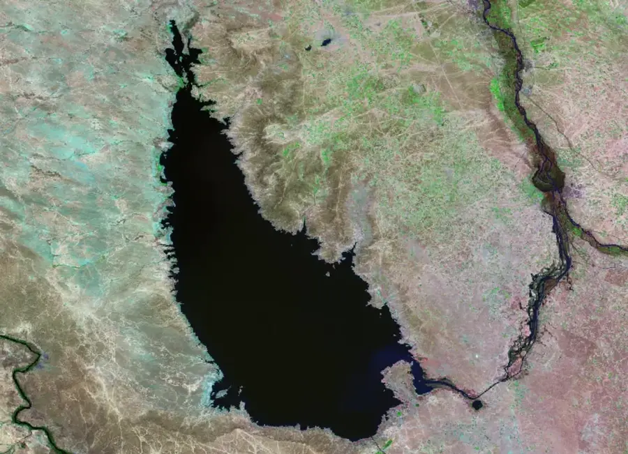
The Hamrin Mountains are a long mountain range in northeastern Iraq, stretching for about 500 kilometers from the Iranian border to the Tigris River. This geologically young range acts as a natural boundary between the flat Mesopotamian alluvial plain to the south and the undulating foothills of the Zagros Mountains to the north. With average elevations around 500 meters, the peaks are relatively low, yet they hold immense historical and strategic significance due to their command over the main routes between Baghdad and Kirkuk. The range is primarily composed of sandstone and marl and is noted for its substantial oil and gas fields. The Diyala River pierces the range at the Hamrin Dam, a vital project for irrigation and hydroelectric power. Throughout history, the mountains have frequently served as a theater for military operations, acting as a formidable barrier against eastern invasions.
- Location: Iraq
- Nearby: Baiji (35 km)
Best time to visit & climate
The most pleasant time to visit is Apr, Oct, Nov.
| Jan | Feb | Mar | Apr | May | Jun | Jul | Aug | Sep | Oct | Nov | Dec | |
|---|---|---|---|---|---|---|---|---|---|---|---|---|
| Avg °C | 8 | 11 | 16 | 21 | 28 | 34 | 36 | 36 | 32 | 25 | 16 | 10 |
| Rain mm | 29 | 27 | 27 | 24 | 7 | 0 | 0 | 0 | 1 | 9 | 23 | 27 |
📋 Practical info
Geography
Facts
- The highest elevation is approximately 525 meters.
- They represent the southernmost ridge before the Mesopotamian plain.
- The Hamrin Dam was completed on the Diyala River in 1981.
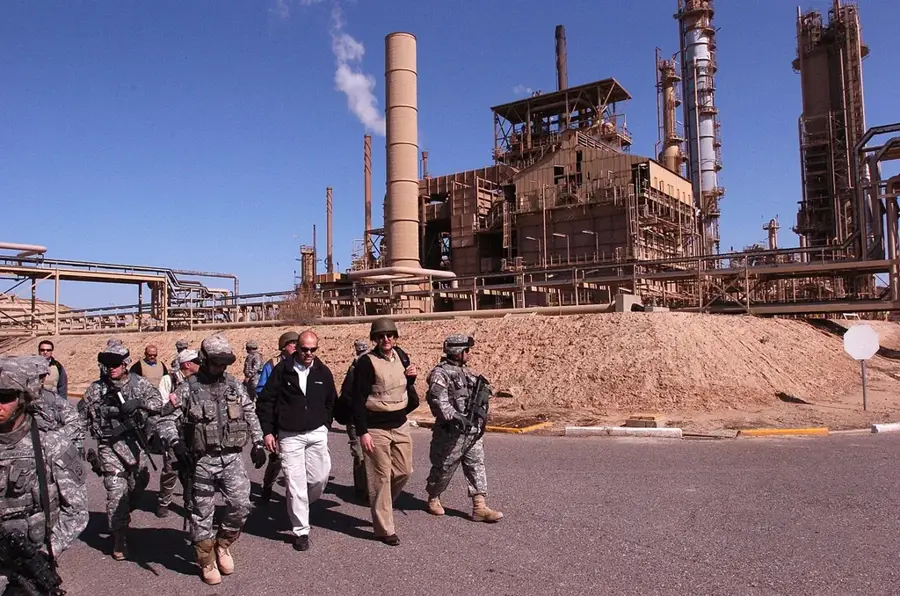
- The range sits atop some of Iraq's most productive oil fields.
- Composed primarily of Neogene sandstone and siltstone deposits.
- A strategic pass carries the vital Baghdad-Kirkuk highway.
Explore nearby
Notable places around
Route planner — Car & Motorhome
Where do you start? We build the route here, with stops and country notes along the way.
© OpenStreetMap contributors · OpenRouteService
Sights nearby
Frequently asked questions
Where are the Hamrin Mountains located?
How high are these mountains?
Are there natural resources there?
What is Hamrin Lake?
Are the mountains strategically important?
Hamrin Mountains: where is it located?
Hamrin Mountains: when is the best time to visit?
Hamrin Mountains: why is it worth visiting?

Nearby cities
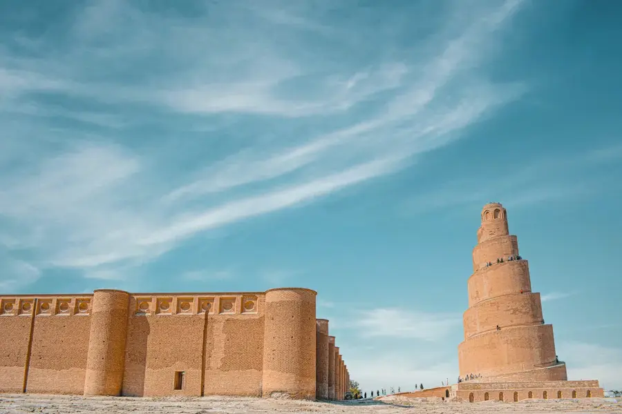
History & landmarks
Nature
More places