Plizio Visual Lab
Karnataka Plateau
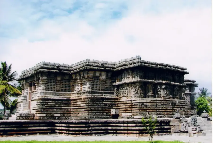
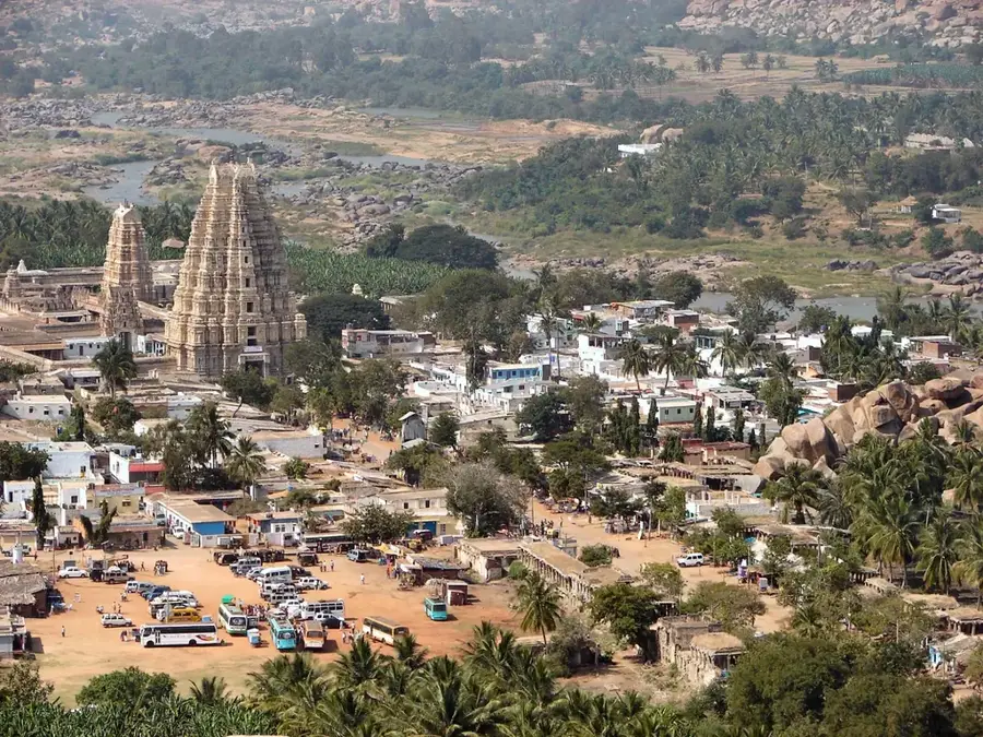
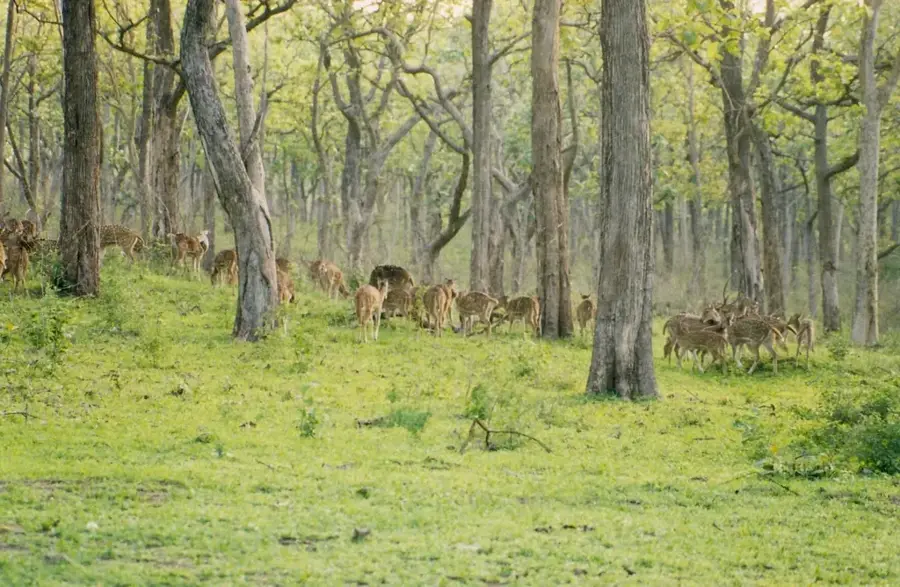
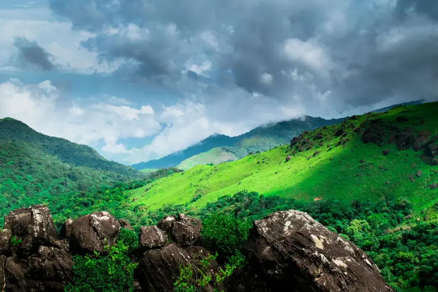
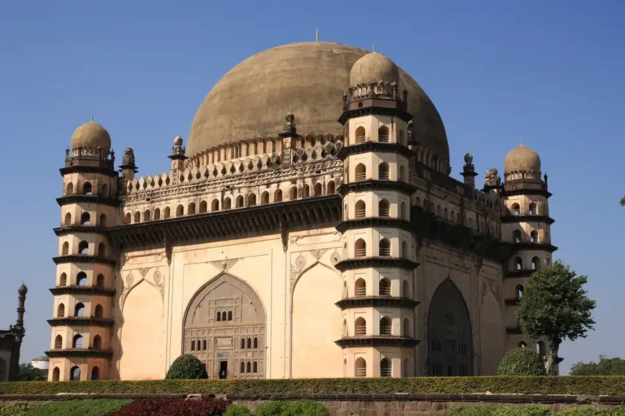
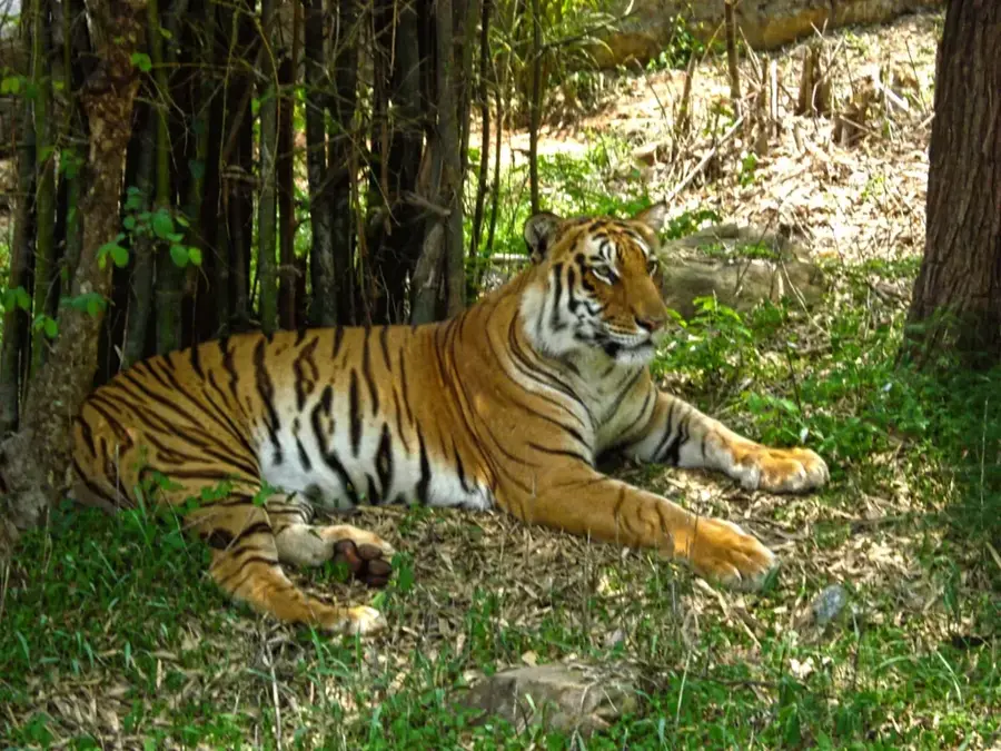
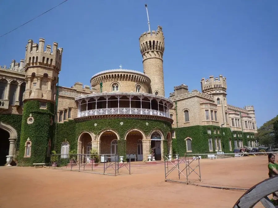
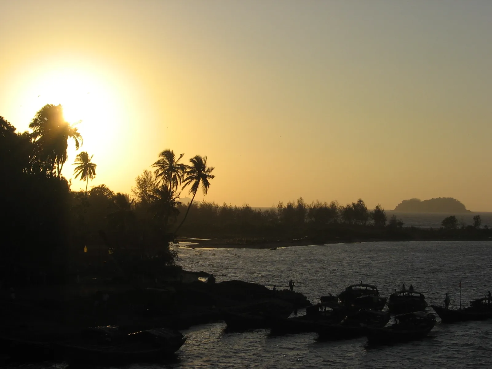
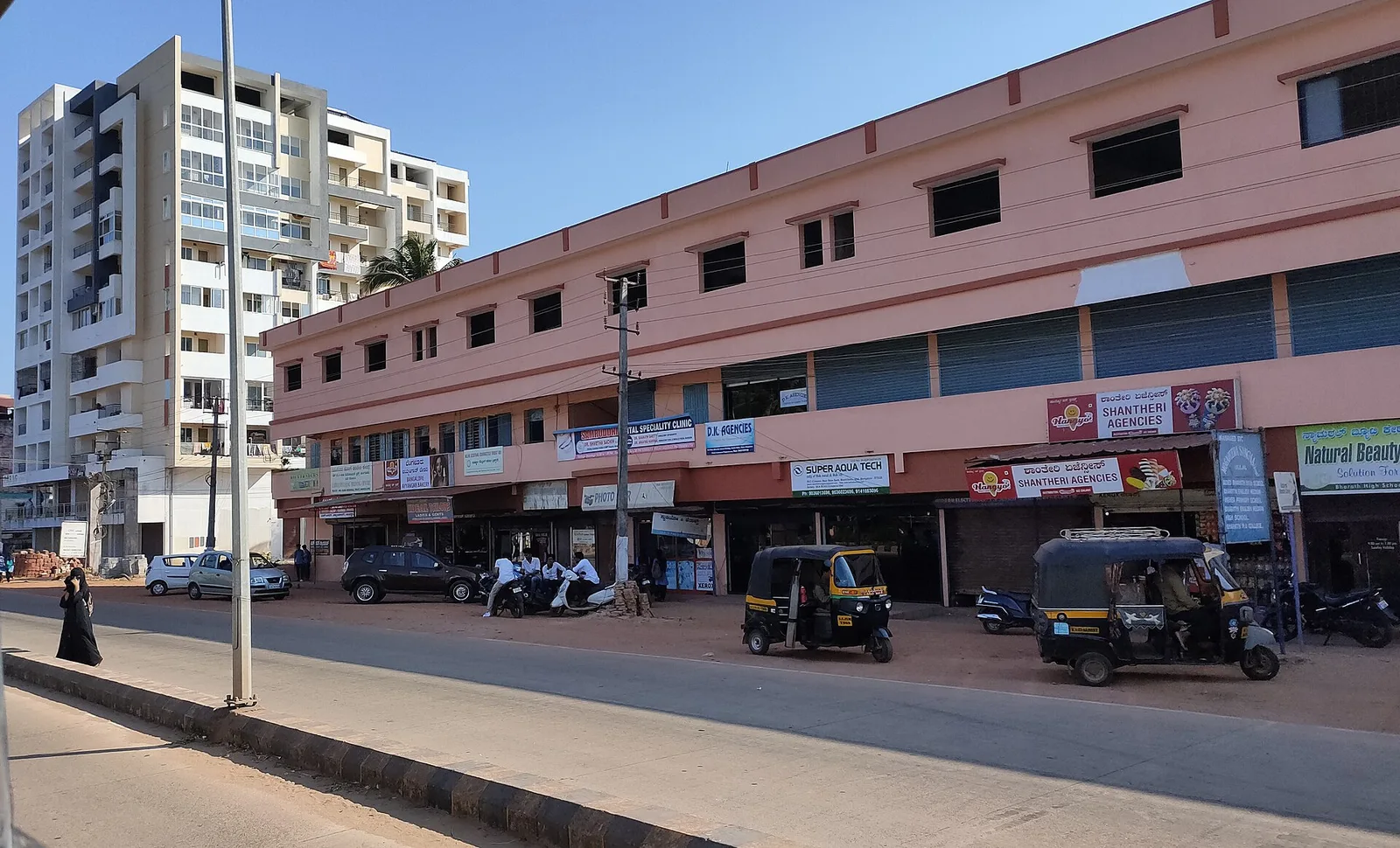
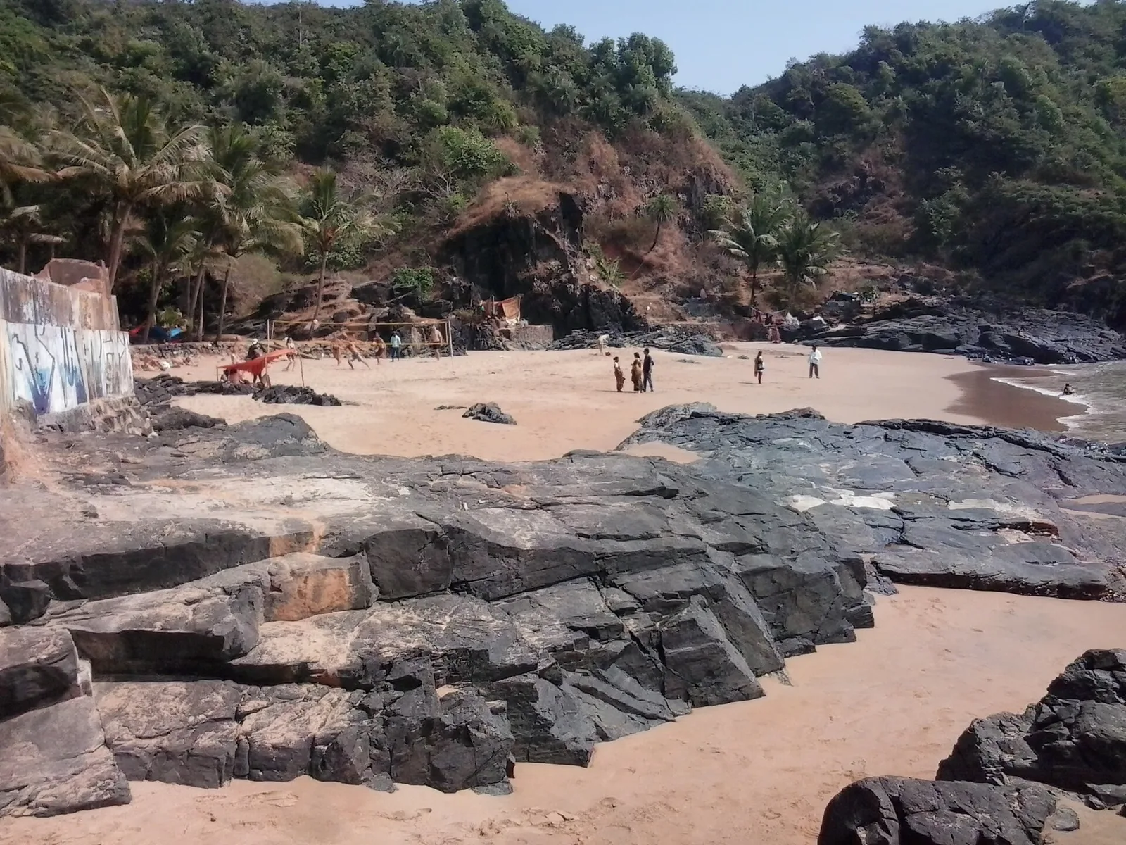
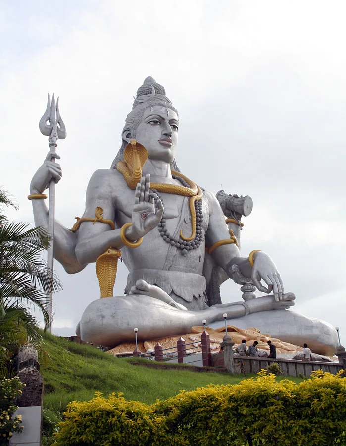
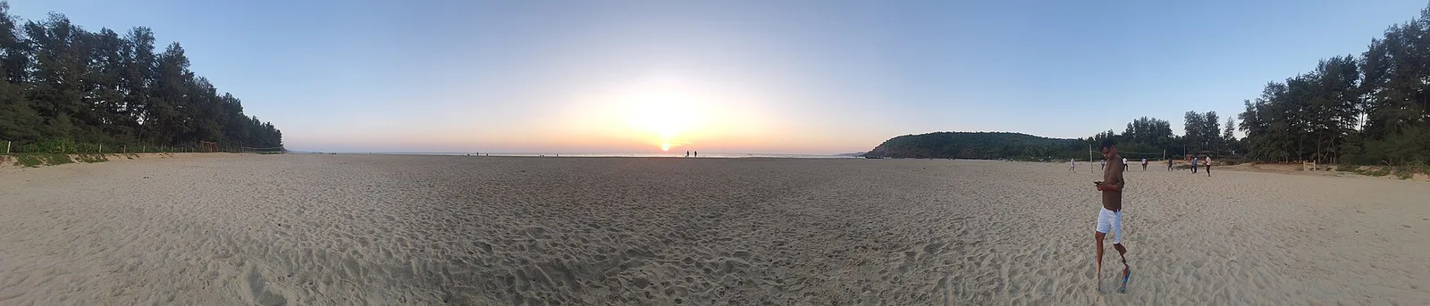
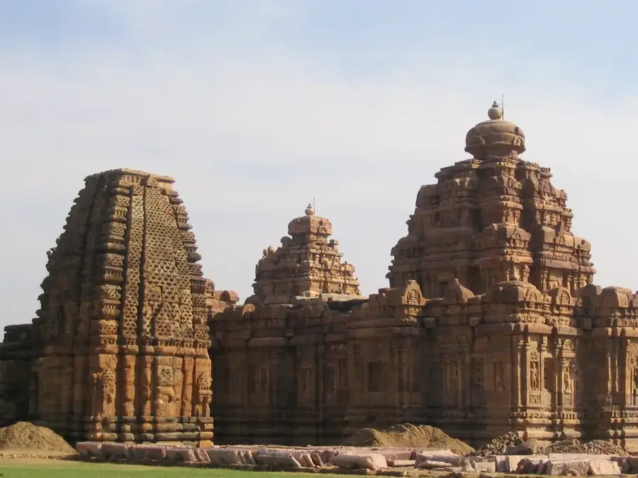
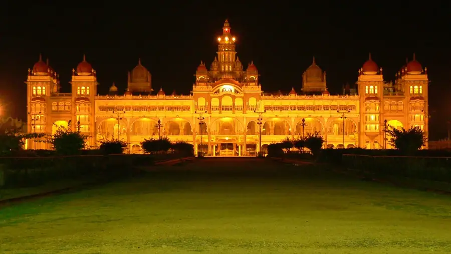
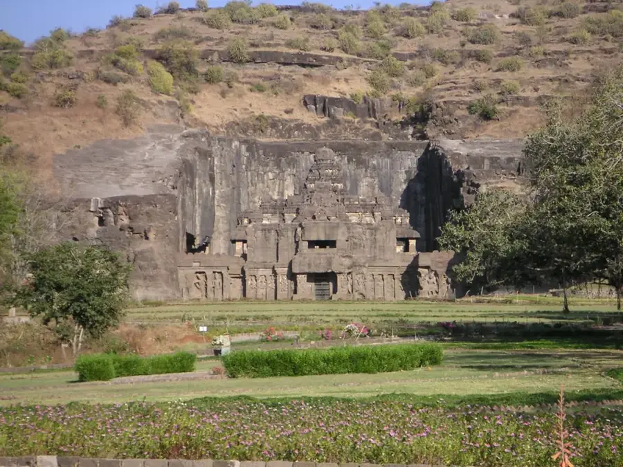
The Karnataka Plateau, also known as the Mysore Plateau, is an integral part of the larger Deccan Plateau in southern India. With an average elevation ranging between 600 and 900 meters, it covers most of the state of Karnataka and is geologically composed of ancient Precambrian crystalline rocks. The plateau is divided into two distinct physiographic regions: the hilly Malnad to the west and the flatter Maidan plains to the east. Major rivers such as the Krishna, Kaveri, and Tungabhadra flow across the plateau, providing essential water for irrigation and hydroelectric power. Historically, the plateau was the heartland of significant dynasties including the Western Gangas, the Hoysalas, and the Vijayanagara Empire. The region is celebrated for its rich biodiversity, particularly in the forested Western Ghats that border the plateau's western edge. Economically, the area is known for coffee, sandalwood, and spice production, as well as the bustling technology hubs like Bengaluru.
- Location: India
- Nearby: Ooty (83 km)
Best time to visit & climate
The most pleasant time to visit is Jan, Nov, Dec.
| Jan | Feb | Mar | Apr | May | Jun | Jul | Aug | Sep | Oct | Nov | Dec | |
|---|---|---|---|---|---|---|---|---|---|---|---|---|
| Avg °C | 23 | 26 | 29 | 30 | 29 | 25 | 24 | 24 | 24 | 24 | 23 | 22 |
| Rain mm | 1 | 3 | 16 | 37 | 82 | 82 | 109 | 103 | 116 | 111 | 38 | 5 |
📋 Practical info
Geography
Facts
- The average elevation of the plateau is between 600 and 900 meters.
- It covers almost the entire state of Karnataka in southern India.
- The plateau is divided into the Malnad (hilly) and Maidan (plain) regions.
- The Kaveri River originates in the Brahmagiri hills on this plateau.
- Geologically, it consists primarily of ancient gneiss and granite rocks.
- A significant portion of India's coffee is grown on this plateau.
Explore nearby
Notable places around
Route planner — Car & Motorhome
Where do you start? We build the route here, with stops and country notes along the way.
© OpenStreetMap contributors · OpenRouteService
Sights nearby
Frequently asked questions
What characterizes the Karnataka Plateau?
Are there famous waterfalls?
Which major city is on the plateau?
What products come from this region?
When is the best time to visit?
Karnataka Plateau: where is it located?
Karnataka Plateau: when is the best time to visit?
Karnataka Plateau: why is it worth visiting?

Nearby cities
History & landmarks
More places