Plizio Visual Lab
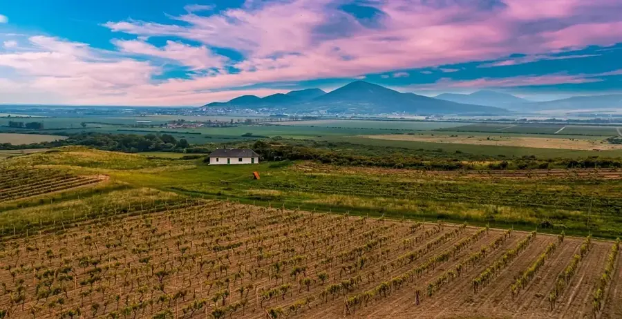
Cserehát Hills
Weather…
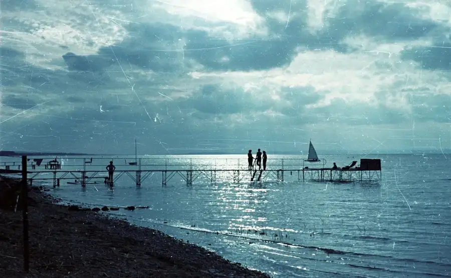
Water temperature…
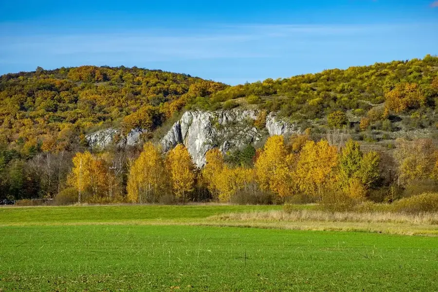
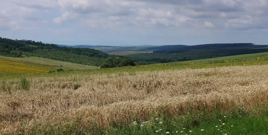
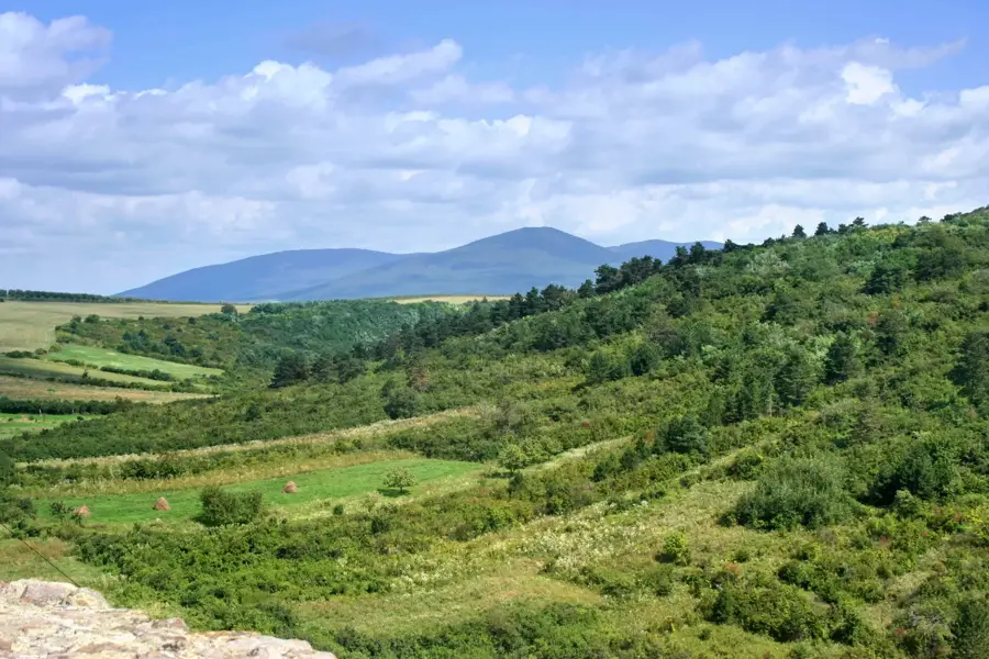
The Cserehát Hills are located in northern Hungary between the river valleys of the Sajó and the Hernád, forming a geologically interesting transition zone. This low mountain landscape is characterized by gentle hilltops consisting predominantly of tertiary sediments such as limestone and clay. Historically, the region was heavily forested, primarily with oak forests, which gave the area its name, as 'csere' refers to a specific type of turkey oak. The geography is marked by deeply incised valleys and small, secluded villages, making the Cserehát one of the most sparsely populated areas of the country. In recent decades, the area has developed into a tip for hikers who appreciate the untouched nature and the traditional architecture of the region. Among the most prominent elevations is the Kecske-pad, from which one can see as far as the High Tatras on clear days. The region is also known for the Rakaca reservoir, which serves as an important recreational area and fishing ground.
- Location: Borsod-Abaúj-Zemplén, Hungary
- Nearby: Rudabánya (25 km)
Best time to visit & climate
The most pleasant time to visit is Jun–Aug.
| Jan | Feb | Mar | Apr | May | Jun | Jul | Aug | Sep | Oct | Nov | Dec | |
|---|---|---|---|---|---|---|---|---|---|---|---|---|
| Avg °C | -4 | -2 | 4 | 10 | 15 | 19 | 21 | 21 | 16 | 9 | 4 | -2 |
| Rain mm | 38 | 38 | 38 | 43 | 76 | 83 | 88 | 63 | 55 | 55 | 45 | 44 |
📋 Practical info
Geography
Facts
- The Cserehát is often referred to as the 'third mountain range' of Borsod-Abaúj-Zemplén county.
- The highest point of the hill country is the Kecske-pad at 340 meters in height.
- The Rakaca reservoir is the largest artificial body of water in Northern Hungary.
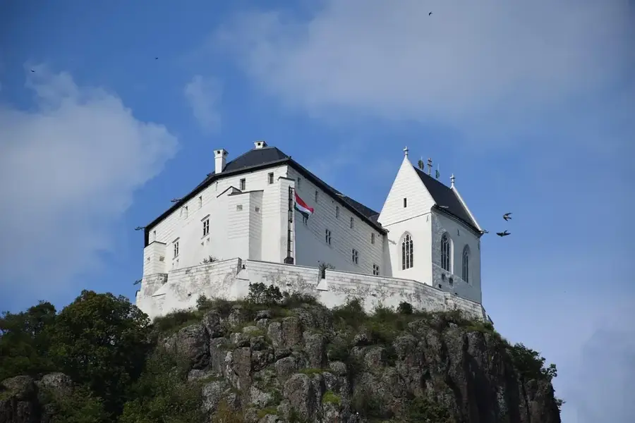
- The region is home to numerous heritage-listed village churches from the Middle Ages.
- The soil consists largely of fertile clay, which is, however, difficult to cultivate.
- The Cserehát educational trail leads for 12 kilometers through the most valuable biotopes.
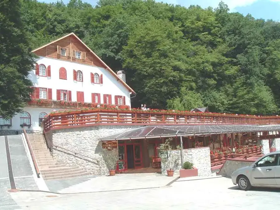
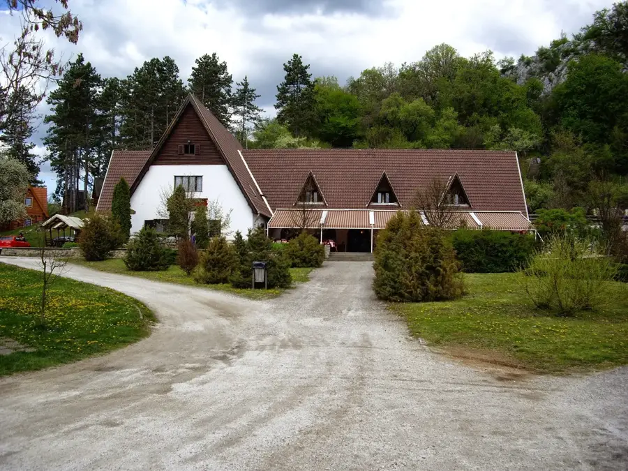
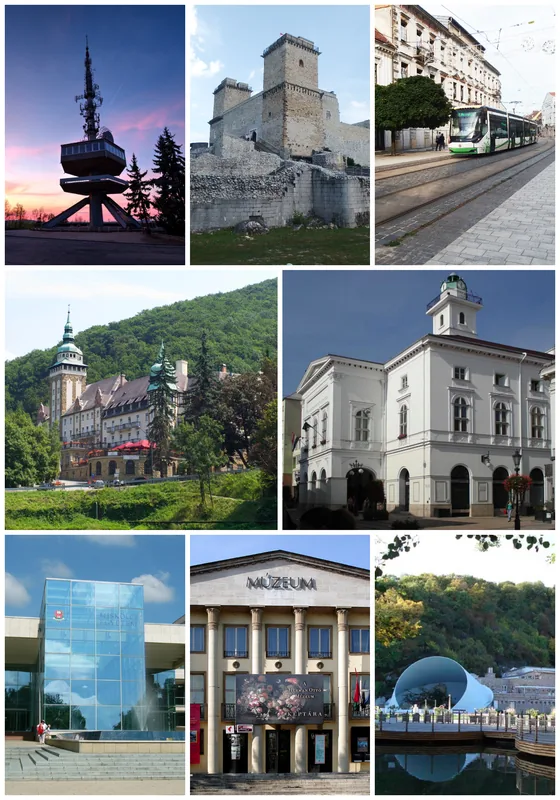
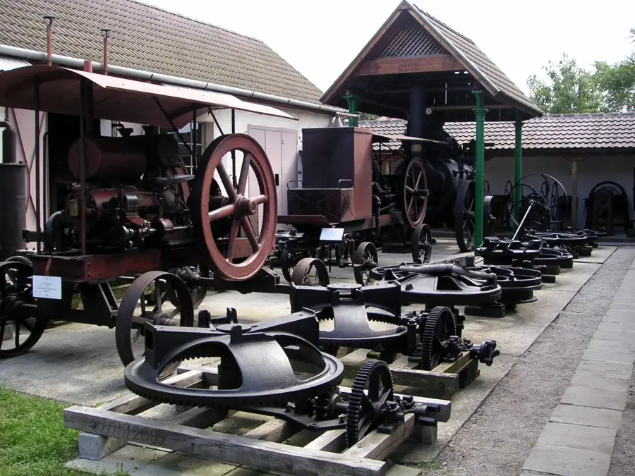
Explore nearby
Notable places around
Route planner — Car & Motorhome
Where do you start? We build the route here, with stops and country notes along the way.
© OpenStreetMap contributors · OpenRouteService
Sights in the town Cserehát Hills (1)
Sights nearby
Frequently asked questions
What is the terrain like in Cserehát?
Which town is the gateway to the region?
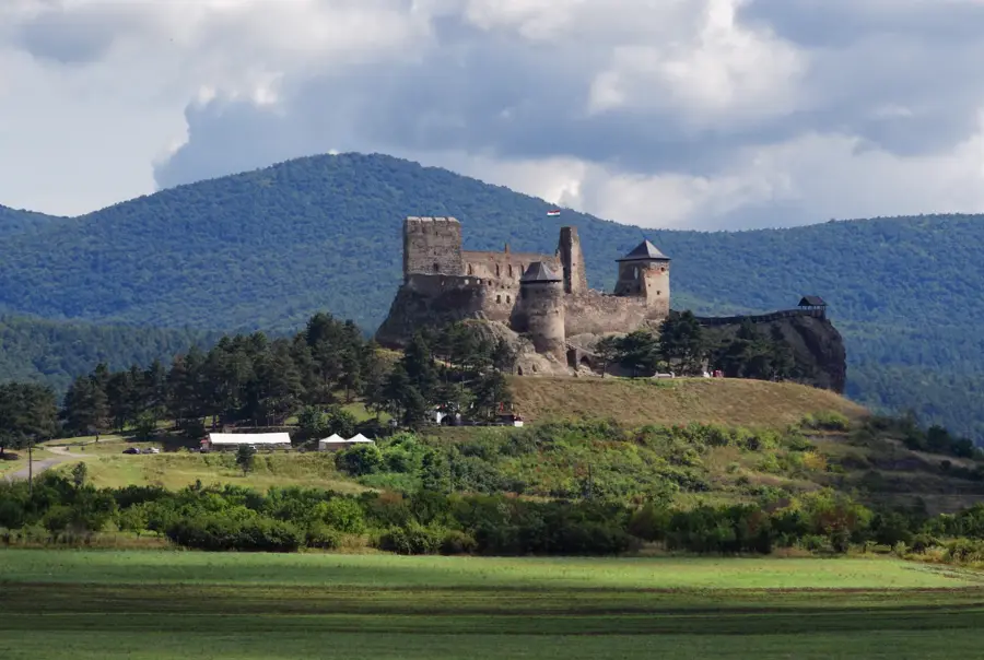
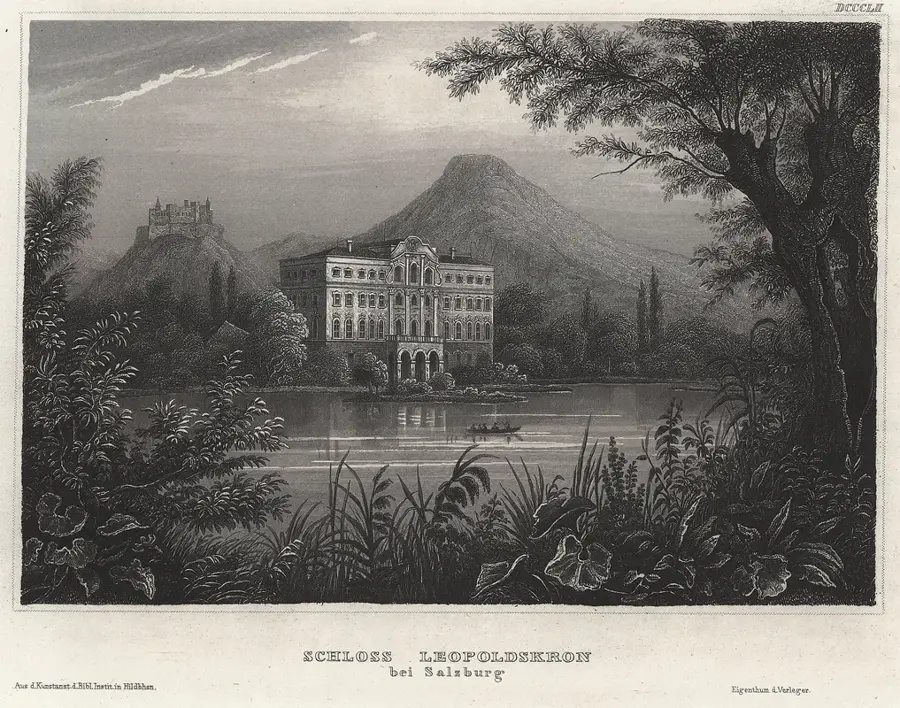
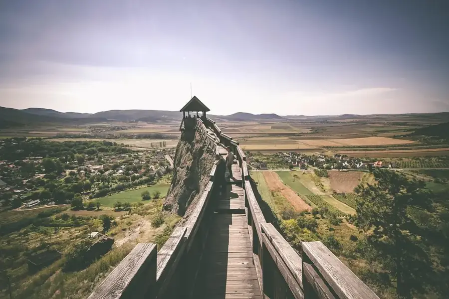
Are there any castles nearby?
Is the region overcrowded with tourists?
Can you taste wine in the area?
Cserehát Hills: where is it located?
Cserehát Hills: when is the best time to visit?
Cserehát Hills: why is it worth visiting?

Nearby cities

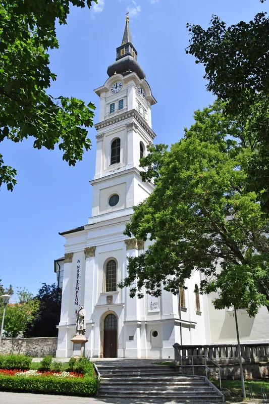
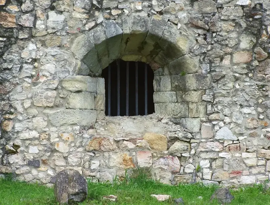
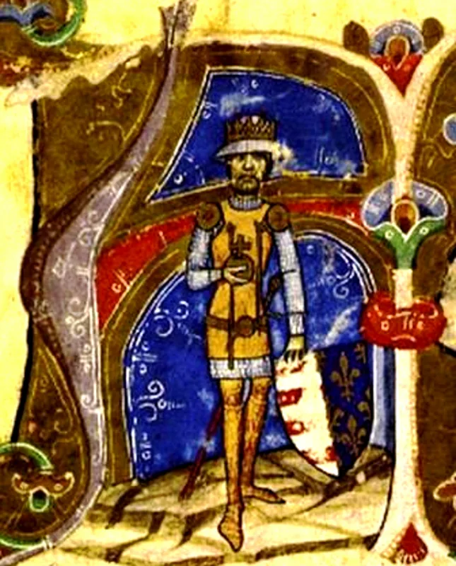
History & landmarks