Plizio Visual Lab
Yan Chau Tong Marine Park

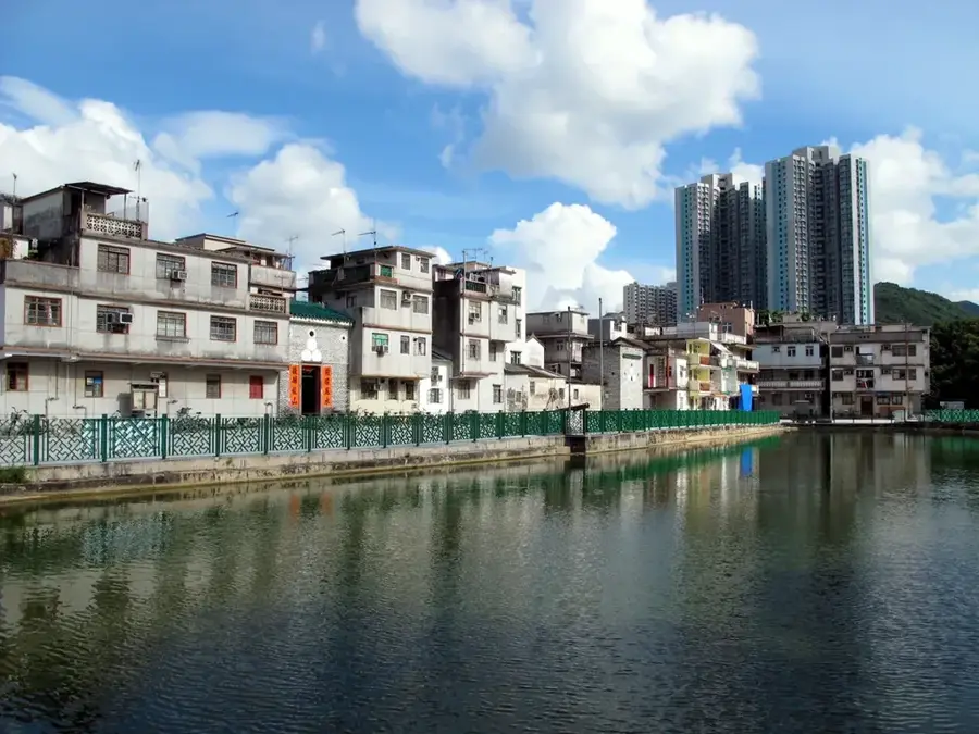
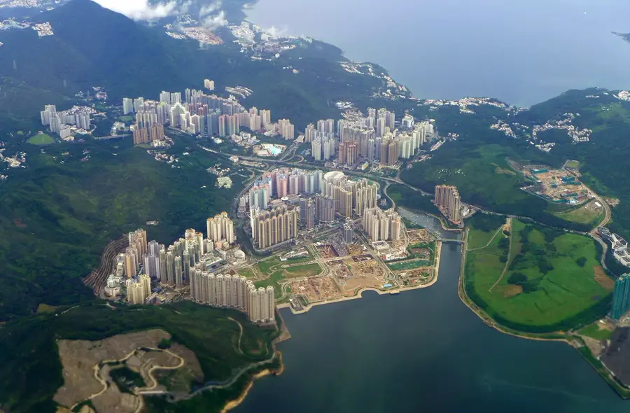
Yan Chau Tong Marine Park, positioned in the remote northeastern corner of the New Territories, encompasses approximately 680 hectares of protected waters and coastline. Established in 1996, it is celebrated for its serene landscapes, earning the moniker "Little Guilin" due to its striking hilly silhouettes reflecting on the calm sea. The park's ecological value lies in its extensive seagrass beds and mangrove forests, which act as vital nursery grounds for a wide variety of fish and marine life. The surrounding terrain of the "Double Island" and "Crescent Island" groups provides a natural barrier against winds, resulting in the characteristic mirror-like water surface. Geologically, the area is noted for its sedimentary rock formations, including red siltstone and quartz conglomerate, offering a stark contrast to the verdant vegetation covering the hills.
- Location: Hong Kong SAR China
- Top sights: Double Haven Viewing Point · Lai Chi Wo Viewing Point · Mui Tsz Lam Story House
- Nearby: Sha Tau Kok (6 km)
Best time to visit & climate
The most pleasant time to visit is Feb, Mar, Nov.
| Jan | Feb | Mar | Apr | May | Jun | Jul | Aug | Sep | Oct | Nov | Dec | |
|---|---|---|---|---|---|---|---|---|---|---|---|---|
| Avg °C | 16 | 18 | 20 | 23 | 26 | 28 | 29 | 28 | 28 | 25 | 22 | 17 |
| Rain mm | 36 | 29 | 72 | 104 | 210 | 282 | 185 | 218 | 161 | 49 | 30 | 25 |
📋 Practical info
Geography
Facts
- Area: 100 hectares (247 acres)
- Designated: 2002
- Coral species: over 60
- Water depth: 5–20 m (16–66 ft)
- Fish species: over 150
- Tidal current speed: up to 2 knots
Explore nearby
Notable places around
Route planner — Car & Motorhome
Where do you start? We build the route here, with stops and country notes along the way.
© OpenStreetMap contributors · OpenRouteService
Sights in the town Yan Chau Tong Marine Park (6)
Sights nearby
Frequently asked questions
Why is it called 'Mini-Guilin'?
What is the best way to reach the park?
Is diving allowed there?
Are there food options available?
Are there rare animals there?
Yan Chau Tong Marine Park: where is it located?
Yan Chau Tong Marine Park: what is there to see?
Yan Chau Tong Marine Park: when is the best time to visit?
Yan Chau Tong Marine Park: why is it worth visiting?

Nearby cities