Plizio Visual Lab
Tate's Cairn
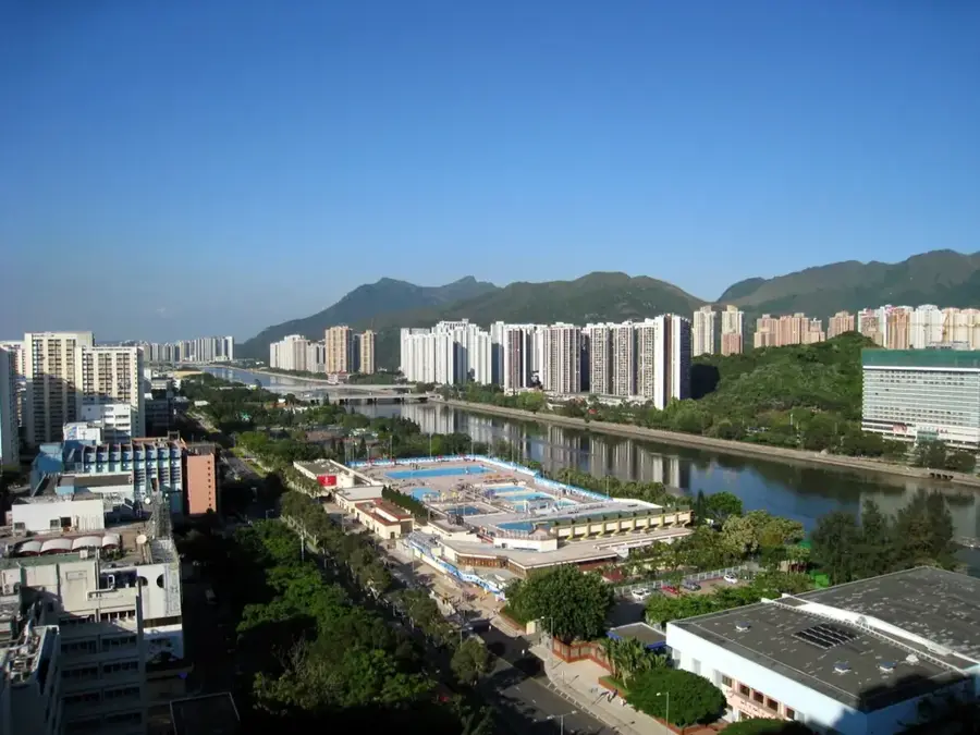
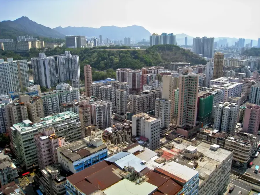
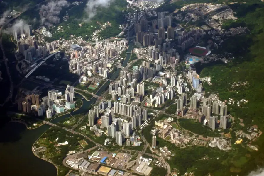
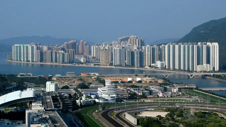
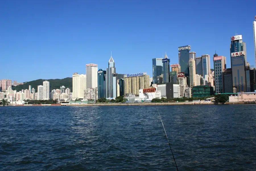
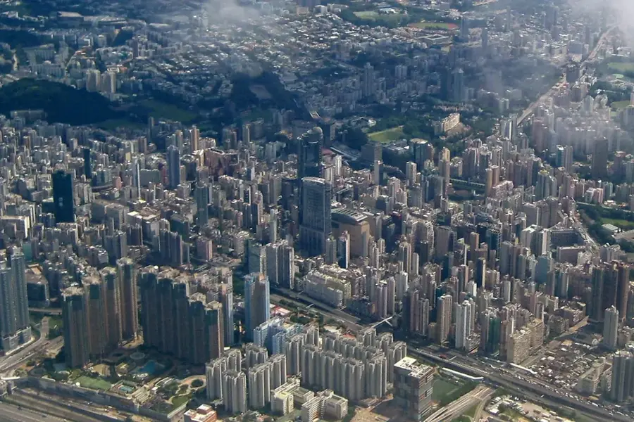
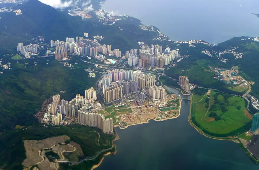
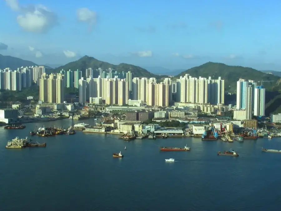
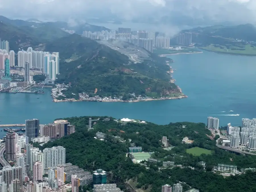
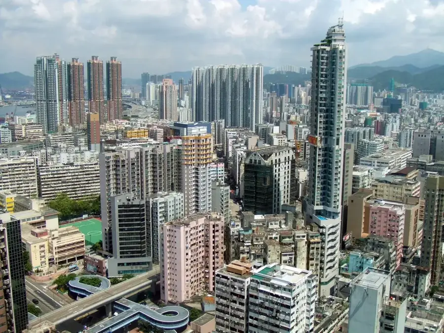
Tate's Cairn, locally known as Tai Lo Shan, is a prominent 577-meter peak forming part of the mountain range that separates Kowloon from the New Territories. The summit is instantly recognizable by the large, spherical weather radar station operated by the Hong Kong Observatory, which serves as a vital tool for regional weather forecasting and aviation safety. Strategically located within the Ma On Shan Country Park, the mountain is a celebrated destination for hikers, as it marks the intersection of two major trails: the MacLehose Trail and the Wilson Trail. From this vantage point, visitors are treated to an expansive view of the Victoria Harbour and the urban sprawling of Kowloon, contrasted with the rugged, green terrain of the surrounding ridges. The area is particularly favored by photography enthusiasts during the golden hour, when the city lights begin to flicker beneath the massive meteorological dome, highlighting the intersection of high-tech infrastructure and raw natural beauty.
- Location: Hong Kong SAR China
- Top sights: Temple Hill · Shark Rock · Tsim Mei Fung
- Nearby: North Point (4 km)
Best time to visit & climate
The most pleasant time to visit is Mar, Nov, Dec.
| Jan | Feb | Mar | Apr | May | Jun | Jul | Aug | Sep | Oct | Nov | Dec | |
|---|---|---|---|---|---|---|---|---|---|---|---|---|
| Avg °C | 16 | 18 | 20 | 23 | 26 | 28 | 29 | 29 | 28 | 25 | 22 | 17 |
| Rain mm | 35 | 29 | 69 | 109 | 231 | 288 | 197 | 234 | 173 | 56 | 29 | 21 |
📋 Practical info
Geography
Facts
- Elevation: 577 m (1,893 ft)
- Named after John Tate, British surveyor (1860s)
- Cretaceous acidic volcanic rock
- Wilson Trail Stage 4 (8.5 km)
- Tate's Cairn Tunnel opened 1991 (3.9 km)
- Average annual rainfall: 1,900 mm (74.8 in)
Explore nearby
Notable places around
Route planner — Car & Motorhome
Where do you start? We build the route here, with stops and country notes along the way.
© OpenStreetMap contributors · OpenRouteService
Sights in the town Tate's Cairn (4)
Sights nearby
Frequently asked questions
What is on the summit of Tate's Cairn?
Which long-distance trail passes here?
Can you drive up to the top?
Are there campsites nearby?
How is the view of Kowloon?
Tate's Cairn: where is it located?
Tate's Cairn: what is there to see?
Tate's Cairn: when is the best time to visit?
Tate's Cairn: why is it worth visiting?

Nearby cities