Plizio Visual Lab
Kowloon Peak
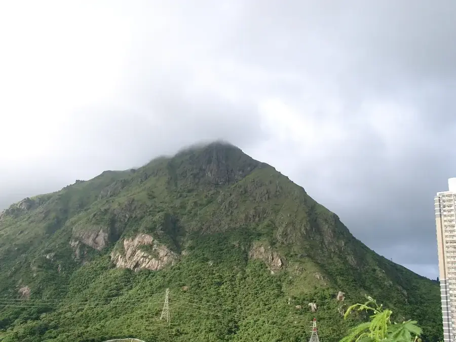
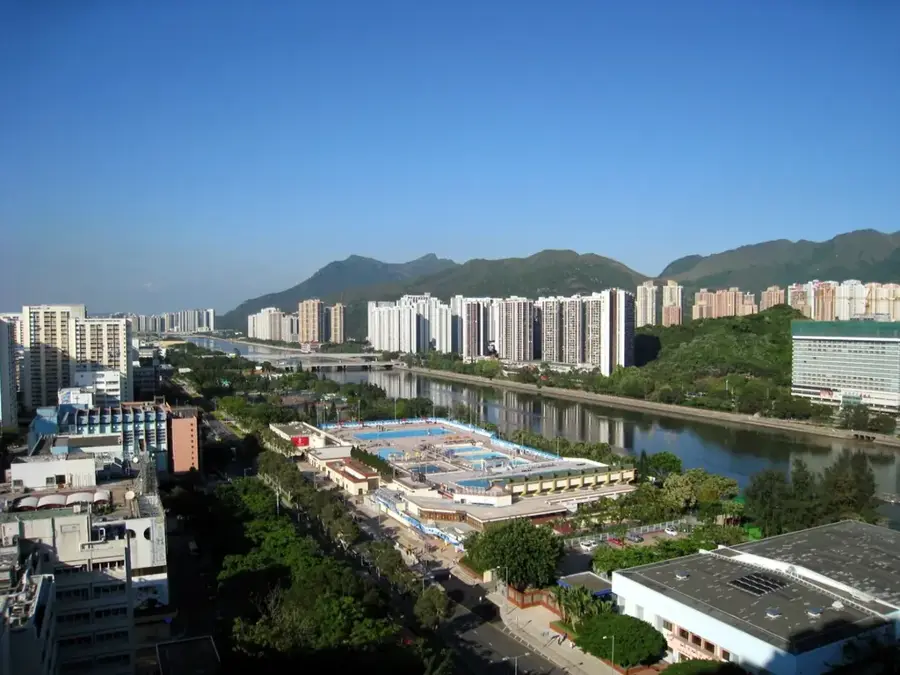
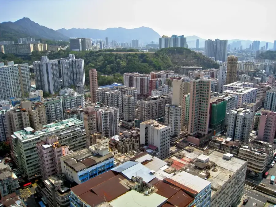
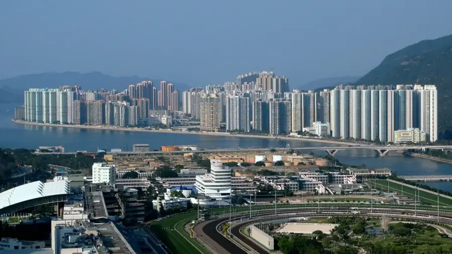
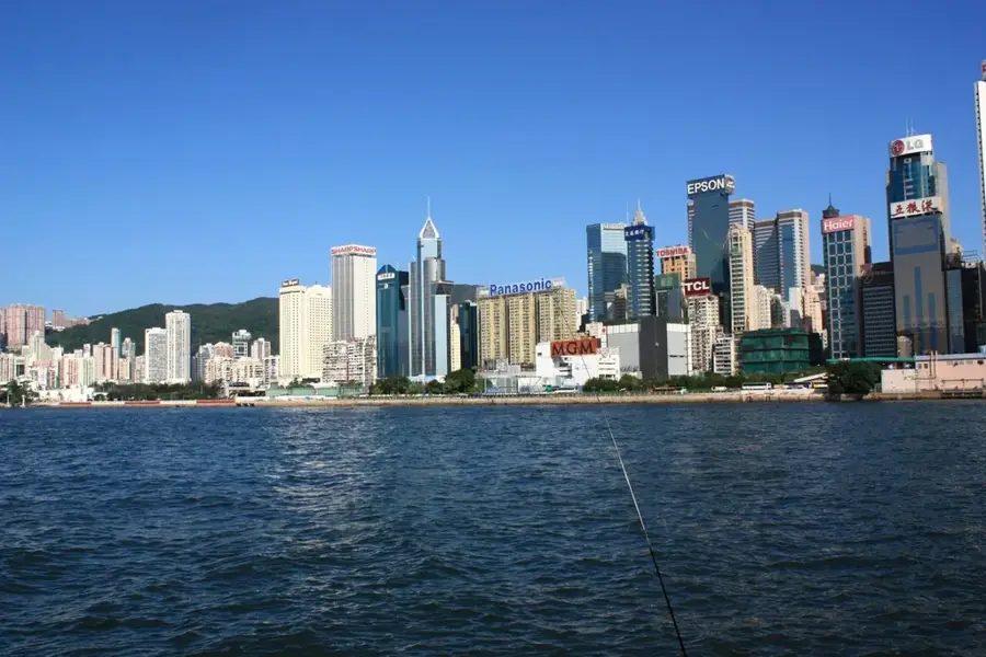
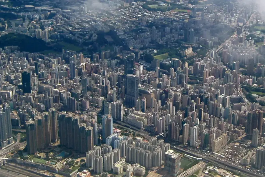
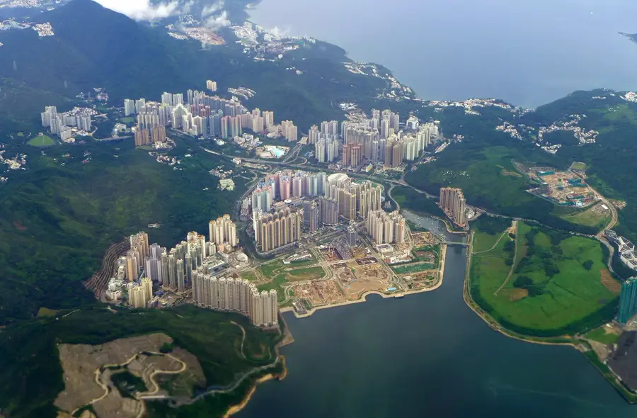
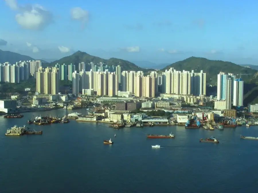
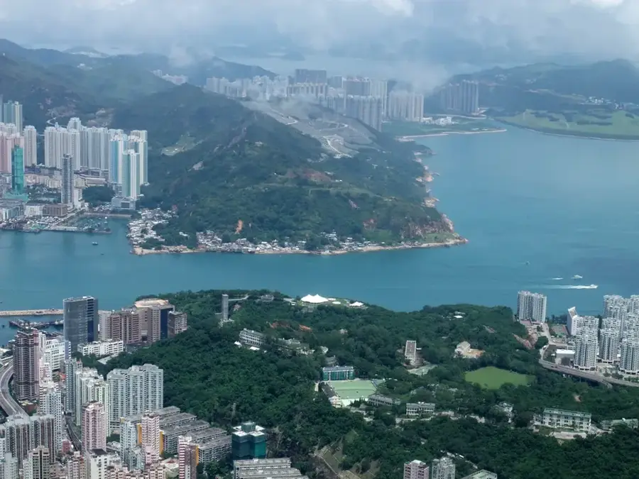
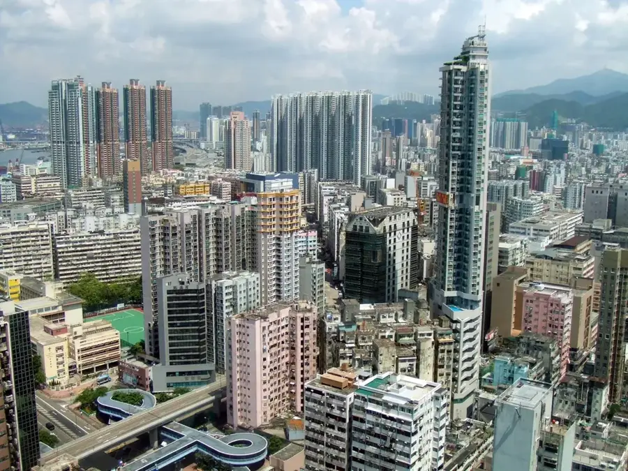
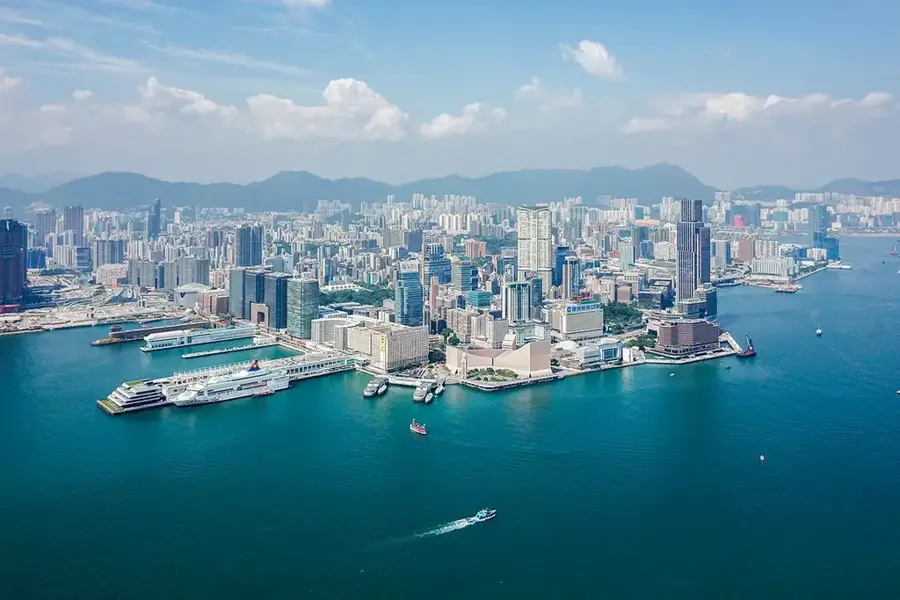
Kowloon Peak, also known by its Cantonese name Fei Ngo Shan, stands at an elevation of 602 meters, making it the highest summit in the Kowloon area. The mountain is world-renowned for "Suicide Cliff," a rugged rocky outcrop on its southern face that provides a dizzying, near-vertical perspective of the urban sprawl below, including San Po Kong and Choi Hung. As part of the Ma On Shan Country Park, it is a biodiversity hotspot and a critical site for telecommunication transmitters. Photographers and night-watchers frequent the summit because it provides one of the most comprehensive views of Hong Kong's skyline, stretching across the harbour to Hong Kong Island. Accessible via the winding Fei Ngo Shan Road or through challenging hiking trails, the peak serves as a dramatic natural backdrop to the city and a premier destination for those seeking to capture the scale of Hong Kong's vertical architecture.
- Location: Hong Kong SAR China
- Top sights: Razor Hill · Cham Tin Shan · Kowloon Peak
- Nearby: Ma Tau Wai (4 km)
Best time to visit & climate
The most pleasant time to visit is Mar, Nov, Dec.
| Jan | Feb | Mar | Apr | May | Jun | Jul | Aug | Sep | Oct | Nov | Dec | |
|---|---|---|---|---|---|---|---|---|---|---|---|---|
| Avg °C | 16 | 18 | 20 | 23 | 26 | 28 | 29 | 29 | 28 | 25 | 22 | 17 |
| Rain mm | 35 | 29 | 69 | 109 | 231 | 288 | 197 | 234 | 173 | 56 | 29 | 21 |
📋 Practical info
Geography
Facts
- Elevation: 602 m
- Location: Ma On Shan Country Park
- Part of Wilson Trail Stage 4 (length: 12 km)
- Beacon height: 10 m
- Climbing route 'Suicide Wall': difficulty 5.9
- Distance to nearest MTR: 3 km (Diamond Hill)
Explore nearby
Notable places around
Route planner — Car & Motorhome
Where do you start? We build the route here, with stops and country notes along the way.
© OpenStreetMap contributors · OpenRouteService
Sights in the town Kowloon Peak (6)
Sights nearby
Frequently asked questions
Where is Suicide Cliff located?
Can you drive to the top?
When is the best view?
How difficult is the hike?
Are there any shops or stalls?
Kowloon Peak: where is it located?
Kowloon Peak: what is there to see?
Kowloon Peak: when is the best time to visit?
Kowloon Peak: why is it worth visiting?

Nearby cities