Plizio Visual Lab
Pyramid Hill
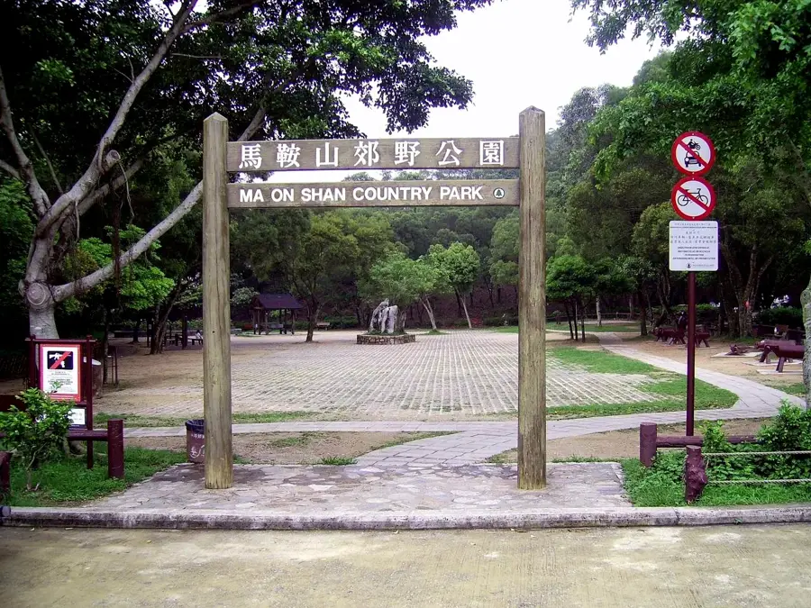
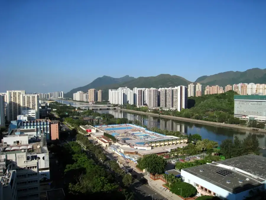
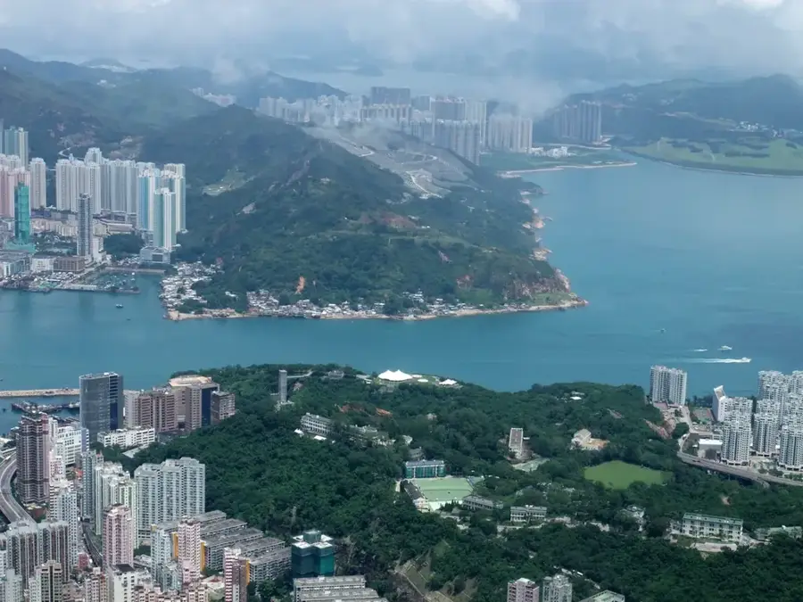
Pyramid Hill, known locally as Tai Kam Chung, is one of the most striking geographical features in Hong Kong's New Territories. Its remarkably symmetrical pyramidal shape makes it a standout landmark within the Ma On Shan Country Park. Standing at 536 meters, the summit provides hikers with wide-open panoramic views of the Sai Kung Peninsula, the shimmering waters of Long Harbour, and the surrounding lush mountain ridges. The ascent to the peak is steep and challenging, requiring a scramble over grassy slopes and rocky outcrops, but it remains a favorite for seasoned trekkers. Due to its unique topography and favorable wind conditions, it is a renowned launch site for paragliders, who can often be seen soaring above the valley. Located along the famous MacLehose Trail, Pyramid Hill has a serene escape into nature, showcasing the rugged and untamed beauty that exists just beyond Hong Kong's urban sprawl.
- Location: Hong Kong SAR China
- Top sights: Pig Rock · Canoe Rock · Pyramid Rock
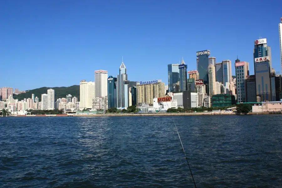
- Nearby: Lam Tin (4 km)
Best time to visit & climate
The most pleasant time to visit is Mar, Nov, Dec.
| Jan | Feb | Mar | Apr | May | Jun | Jul | Aug | Sep | Oct | Nov | Dec | |
|---|---|---|---|---|---|---|---|---|---|---|---|---|
| Avg °C | 16 | 18 | 20 | 23 | 26 | 28 | 29 | 29 | 28 | 25 | 22 | 17 |
| Rain mm | 35 | 29 | 69 | 109 | 231 | 288 | 197 | 234 | 173 | 56 | 29 | 21 |
📋 Practical info
Geography
Facts
- Elevation: 525 m (1,722 ft)
- Granite and rhyolitic tuff
- MacLehose Trail Stage 9 (16 km)
- 19th-century charcoal production hub
- Average temperature: 22 °C (71.6 °F)
- Annual hiker count: approx. 15,000
Explore nearby
Notable places around
Route planner — Car & Motorhome
Where do you start? We build the route here, with stops and country notes along the way.
© OpenStreetMap contributors · OpenRouteService
Sights in the town Pyramid Hill (8)
Sights nearby
Frequently asked questions
Why is the mountain called Pyramid Hill?
Is the climb dangerous?
What is a popular activity there?
Which hiking trail leads to the mountain?
Where is the best place to start?
Pyramid Hill: where is it located?
Pyramid Hill: what is there to see?
Pyramid Hill: when is the best time to visit?
Pyramid Hill: why is it worth visiting?

Nearby cities