Plizio Visual Lab
Sharp Peak
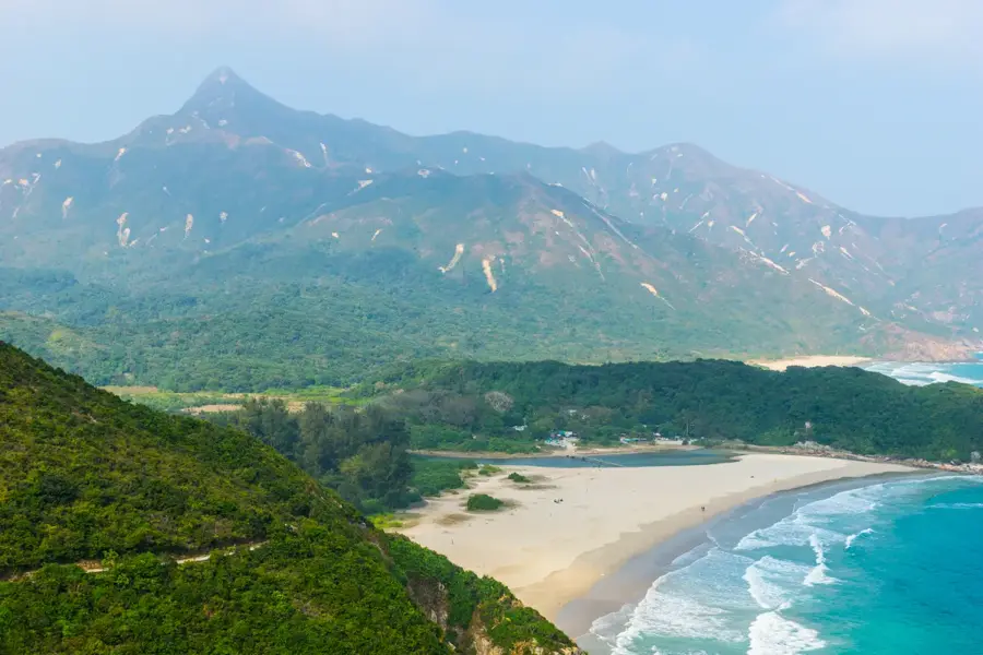
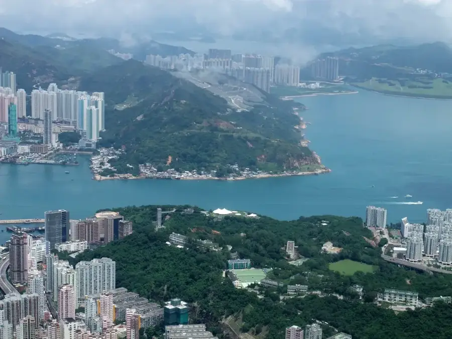
Sharp Peak, known locally as Nam She Tsim, is widely regarded as one of the most challenging and iconic hiking destinations in Hong Kong. Located in the remote Sai Kung East Country Park, this 468-meter peak is famous for its distinct, sharp profile that stands out against the coastal landscape. The ascent is notorious for its steep, crumbling slopes and rocky sections that require careful scrambling. However, hikers who reach the summit are treated to what many consider the finest view in the territory: a sweeping 360-degree panorama of the pristine Tai Long Wan beaches, the rugged coastline, and the expansive South China Sea. Often called "Hong Kong's Matterhorn," the peak demands proper footwear and physical stamina, especially given the lack of shade along the ridge. It remains a bucket-list experience for outdoor enthusiasts looking to experience the wild, untamed side of Hong Kong, far removed from the urban density of the city center.
- Location: Hong Kong SAR China
- Top sights: Ngau Wu Tun · Sharp Peak · Stegosaurus Rock
- Nearby: Sai Kung (11 km)
Best time to visit & climate
The most pleasant time to visit is Feb, Mar, Nov.
| Jan | Feb | Mar | Apr | May | Jun | Jul | Aug | Sep | Oct | Nov | Dec | |
|---|---|---|---|---|---|---|---|---|---|---|---|---|
| Avg °C | 16 | 18 | 20 | 23 | 26 | 28 | 29 | 28 | 28 | 25 | 22 | 17 |
| Rain mm | 36 | 29 | 72 | 104 | 210 | 282 | 185 | 218 | 161 | 49 | 30 | 25 |
📋 Practical info
Geography
Facts
- Elevation: 468 m
- Location: Sai Kung East Country Park
- Part of MacLehose Trail Stage 2 (length: 14 km)
- Ascent time from Sai Wan: 3-4 hours
- Geology: volcanic rock (Jurassic)
- Nearest beach: Sai Wan (1.5 km)
Explore nearby
Notable places around
Route planner — Car & Motorhome
Where do you start? We build the route here, with stops and country notes along the way.
© OpenStreetMap contributors · OpenRouteService
Sights in the town Sharp Peak (6)
Sights nearby
Frequently asked questions
How difficult is the climb?
Is special equipment needed?
How long does the hike take?
What is the best season?
Is there an easy way up?
Sharp Peak: where is it located?
Sharp Peak: what is there to see?
Sharp Peak: when is the best time to visit?
Sharp Peak: why is it worth visiting?

Nearby cities