Plizio Visual Lab
High Island Reservoir
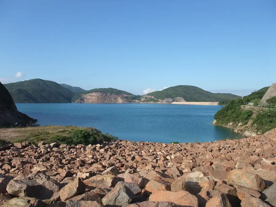
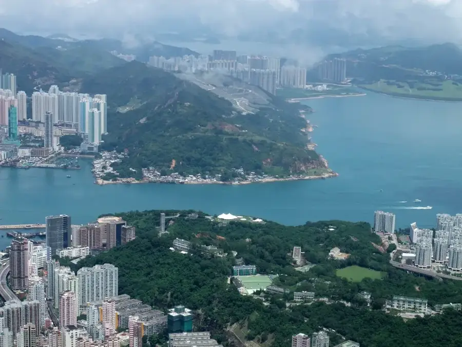
High Island Reservoir is Hong Kong's most substantial freshwater storage facility and a landmark of 1970s civil engineering. Located in the scenic Sai Kung East Country Park, it was created by constructing two massive dams that sealed off a sea channel, effectively converting a portion of the ocean into a vital freshwater source. The site is globally renowned as a key component of the Hong Kong UNESCO Global Geopark, as the construction revealed striking geological formations from the Cretaceous period. The reservoir is surrounded by a vast array of hexagonal rock columns made of acidic rhyolitic volcanic rock, formed roughly 140 million years ago. These columns are unique for their composition and sheer scale, stretching across the coastline. The East Dam is particularly famous for its monumental sea wall protected by 'dolosse', giant, anchor-shaped concrete blocks designed to withstand typhoon-driven waves. With its turquoise waters and the educational Geo Trail, it is a premier destination for hikers and nature enthusiasts exploring the MacLehose Trail.
- Location: Hong Kong SAR China
- Top sights: Po Pin Chau Viewing Platform · Biu Tsim Kok Viewing Point · Sea Cave
- Nearby: Tap Mun (Grass Island) (5 km)
Best time to visit & climate
The most pleasant time to visit is Feb, Mar, Nov.
| Jan | Feb | Mar | Apr | May | Jun | Jul | Aug | Sep | Oct | Nov | Dec | |
|---|---|---|---|---|---|---|---|---|---|---|---|---|
| Avg °C | 16 | 18 | 20 | 23 | 26 | 28 | 29 | 28 | 28 | 25 | 22 | 17 |
| Rain mm | 36 | 29 | 72 | 104 | 210 | 282 | 185 | 218 | 161 | 49 | 30 | 25 |
📋 Practical info
Geography
Facts
- Construction period: 1971–1979
- Capacity: 273 million cubic meters
- Water surface area: 6.9 km²
- Dam length: 800 m
- Dam height: 65 m
- Age of hexagonal columns: 140 million years
Explore nearby
Notable places around
Route planner — Car & Motorhome
Where do you start? We build the route here, with stops and country notes along the way.
© OpenStreetMap contributors · OpenRouteService
Sights in the town High Island Reservoir (9)
Sights nearby
Frequently asked questions
What makes this place special?
What is the best way to get there?
Is swimming allowed in the reservoir?
Are there toilets available?
Can you buy food there?
High Island Reservoir: where is it located?
High Island Reservoir: what is there to see?
High Island Reservoir: when is the best time to visit?
High Island Reservoir: why is it worth visiting?

Nearby cities