Plizio Visual Lab

Nam She Tsim

Plizio editorial teamData Sources
peak
—°4
Nam She Tsim (Hong Kong SAR China)

Weather…

Nam She Tsim, popularly known as Sharp Peak, stands 468 meters tall within the Sai Kung East Country Park. It is widely regarded as one of Hong Kong's most iconic and challenging peaks due to its distinct, pyramid-like profile and steep, rugged ridges. The Cantonese name translates to Snake Hill Peak, referencing the winding topography of the surrounding terrain. Unlike many managed trails in the region, the paths leading to the summit are unpaved and heavily eroded, requiring hikers to navigate loose volcanic rock and steep inclines. The effort is rewarded with a 360-degree view that includes the famous four beaches of Tai Long Wan and the intricate coastline of the Sai Kung Peninsula. Geologically, the mountain is composed of tuff and other volcanic materials that have resisted weathering differently than the surrounding lowlands. It remains a premier destination for experienced trekkers seeking a rigorous outdoor challenge in a striking coastal setting.

Best time to visit & climate

The most pleasant time to visit is Feb, Mar, Nov.

JanFebMarAprMayJunJulAugSepOctNovDec
Avg °C161820232628292828252217
Rain mm362972104210282185218161493025

📋 Practical info

🧭
Getting there
Located far into the Sai Kung East Country Park, hikers generally start by walking from Pak Tam Au or taking a speedboat to Chek Keng before beginning the long trek.
📅
Best season
Strictly attempt this only during the dry, cool winter months. The lack of shade and intense physical exertion make it exceedingly dangerous in summer.
⛰️
Terrain & paths
The final ascent is notoriously steep, composed of loose gravel, dirt, and rock faces. Expect to use both hands to crawl up the final, severely eroded ridges.
🎒
What to bring
High-quality hiking boots with aggressive grip are non-negotiable. Wear gloves to protect your hands on sharp rocks, and carry massive amounts of water.
🅿️
Parking
Private cars cannot enter the restricted country park without a permit. Rely on public buses or taxis to reach the trailheads at Pak Tam Chung or Pak Tam Au.
⚠️
Safety
This is one of Hong Kong's most treacherous hikes. Accidents are frequent on the slippery descent; only fit, experienced hikers should attempt this summit.
⏱️
Time needed
A complete round trip covering the long approach and the exhausting climb generally takes a grueling 6 to 8 hours from the nearest bus stop.

Geography

Coordinates
22.44190, 114.36440

Facts

  • The headland is 1.5 kilometers long.
  • It is 20 kilometers from the city center.
  • The rocks contain Cretaceous fossils (about 100 million years old).
  • The maximum elevation is 50 meters above sea level.
  • There are 3 main climbing routes.
  • The area is part of Sai Kung East Country Park.

Explore nearby

Notable places around

Route planner — Car & Motorhome

Where do you start? We build the route here, with stops and country notes along the way.

Vehicle
Only stops with (optional):

© OpenStreetMap contributors · OpenRouteService

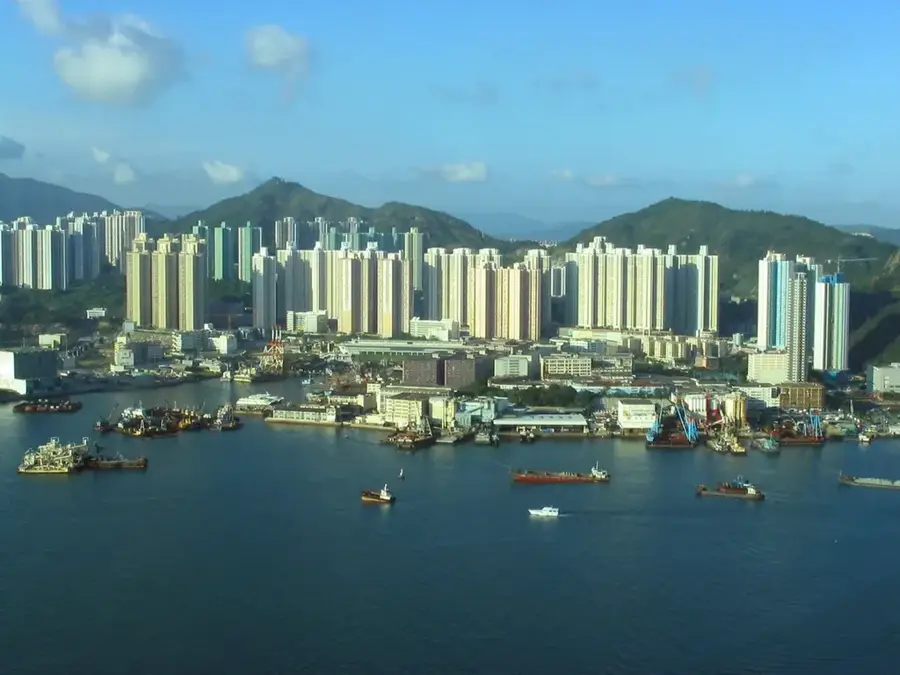
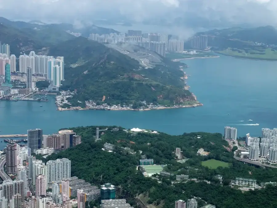
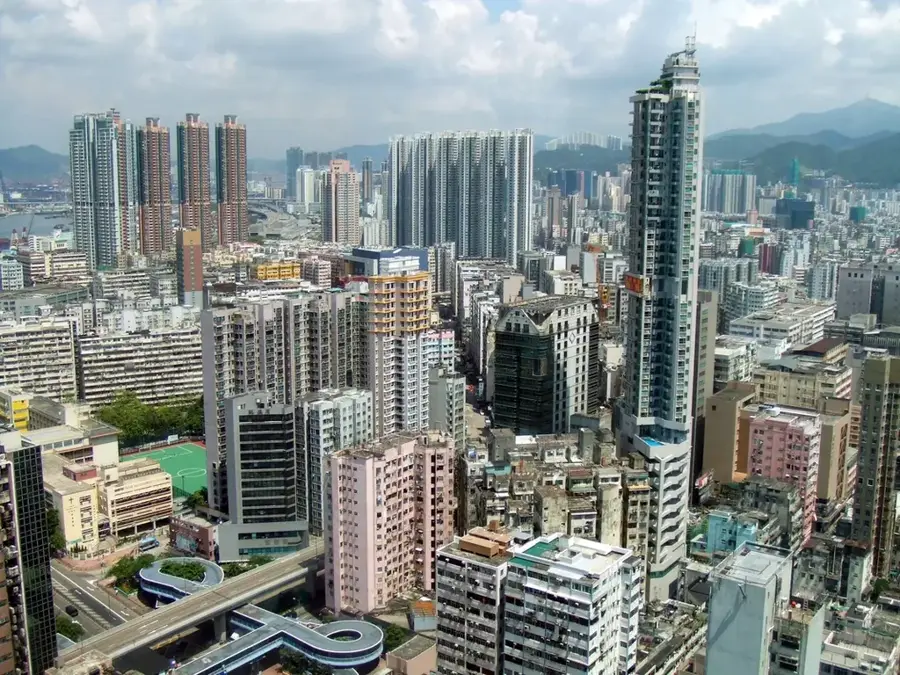
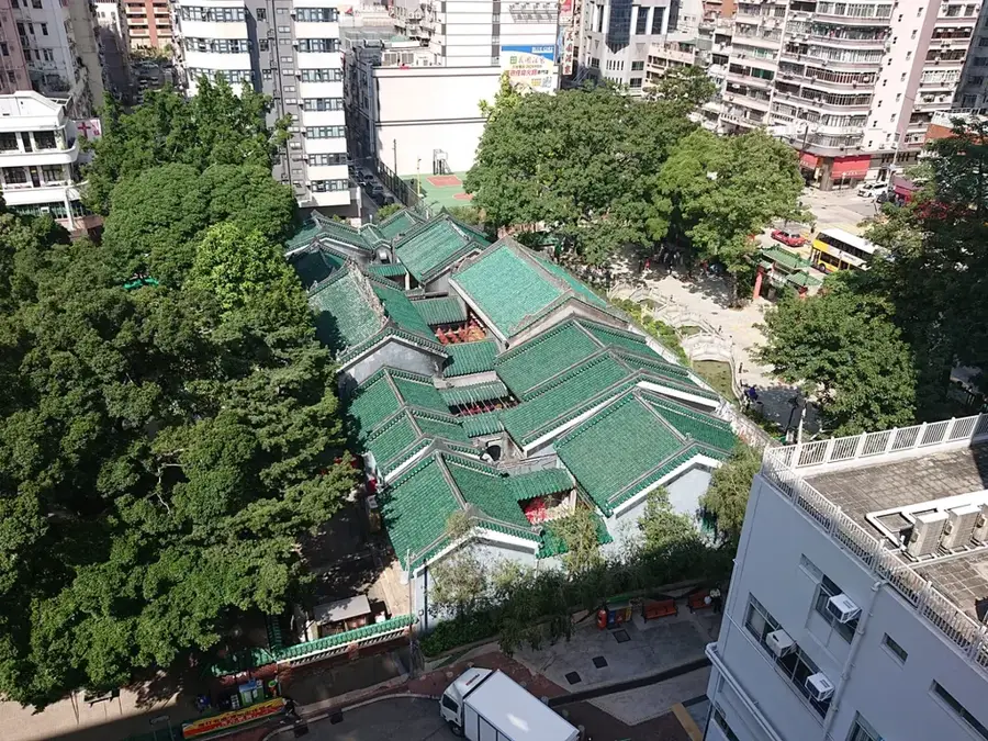
Sights in the town Nam She Tsim (4)

Wong Shek Viewing Point🌿 nature

Wong Shek Viewing Point is a scenic overlook offering expansive vistas of the surrounding coastal relief.

Wong Mau Chau📍 landmark

Wong Mau Chau is a notable lighthouse structure guiding maritime traffic along the rocky coast.

Ko Tong Hau📍 landmark

Ko Tong Hau is a recognized coastal bay known for its scenic waters and natural shoreline.

Shek Ngau Chau SSSI🌿 nature

Shek Ngau Chau SSSI is a designated nature reserve protecting an area of special scientific interest.

Sights nearby

Frequently asked questions

Why is Sharp Peak considered dangerous?
It has extremely steep slopes and loose scree. It is considered the most difficult hike in Hong Kong.
Do you need special equipment?
Good hiking boots with grip are mandatory. Gloves can be helpful for scrambling over rocks.
How long does the tour take?
Plan for at least 5 to 7 hours, as the ascent and descent through the terrain are very time-consuming.
Is the effort worth it?
Yes, the 360-degree view of the Sai Kung bays is the most spectacular in all of Hong Kong.
Should you hike in the rain?
No, in wet conditions the path becomes extremely slippery and life-threatening. Only go in dry weather.
Nam She Tsim: where is it located?
Nam She Tsim is located in Hong Kong SAR China.
Nam She Tsim: what is there to see?
Highlights include Wong Shek Viewing Point, Wong Mau Chau, Ko Tong Hau.
Nam She Tsim: when is the best time to visit?
The most pleasant time to visit is Feb, Mar, Nov.
Nam She Tsim: why is it worth visiting?
Nam She Tsim, popularly known as Sharp Peak, stands 468 meters tall within the Sai Kung East Country Park.
View on map → The Top 50 Attractions → OpenStreetMap →
Asia
Explore with Plizio Discover more places in Asia
More places in Hong Kong SAR China →

Nearby cities

History & landmarks