Plizio Visual Lab
Sharp Island
Weather…
Water temperature…
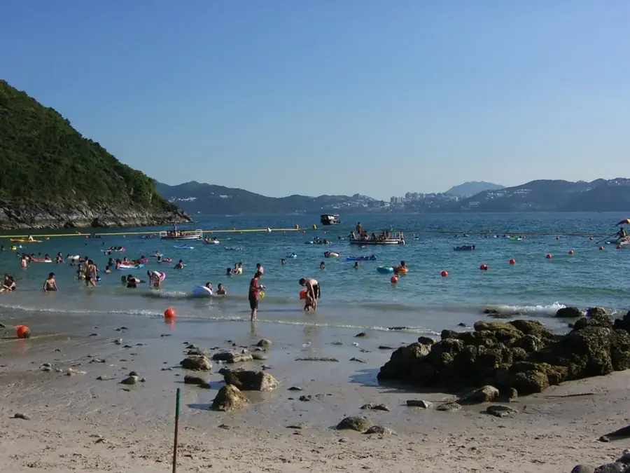
Sharp Island, also known as Kiu Tsui Chau, is a prominent feature of the Hong Kong UNESCO Global Geopark, located just a short boat ride from Sai Kung. The island’s most iconic landmark is its 250-meter-long natural tombolo, a sand and gravel levee that connects the main island to the smaller Kiu Tau islet during low tide. Visitors often time their trips specifically to walk across this tidal bridge, exploring the diverse coastal ecology along the way. Geologically, the island is renowned for its unique igneous rocks, particularly the "pineapple bun rocks." These weathered boulders of quartz monzonite feature a distinctive cracked surface caused by thermal expansion and contraction, resembling the crust of a local Hong Kong pastry. Beyond its geological wonders, Sharp Island has some of the cleanest waters in the territory. Hap Mun Bay and Kiu Tsui Beach are popular spots for swimming and snorkeling, offering a chance to see animated coral communities and various fish species in a pristine natural setting.
- Location: Hong Kong SAR China
- Top sights: Kau Sai Wan · Port Shelter · Kau Sai Chau Rock Carving
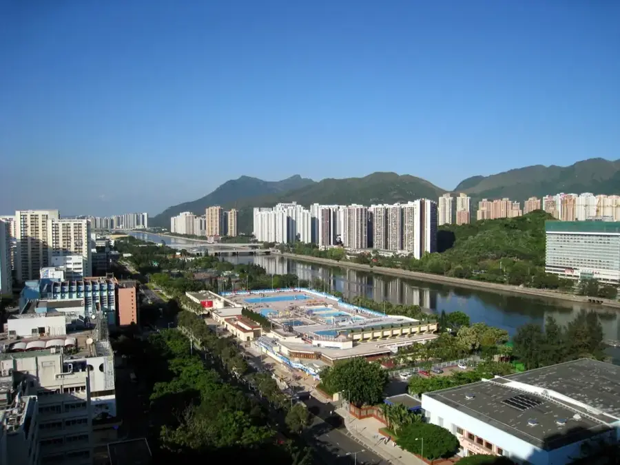
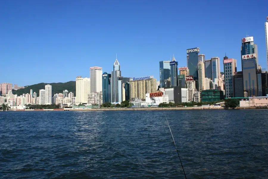
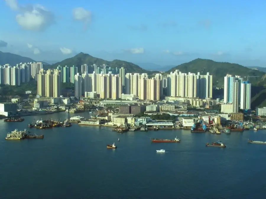
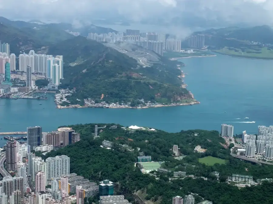
- Nearby: Tseung Kwan O (5 km)
Best time to visit & climate
The most pleasant time to visit is Feb, Mar, Nov.
| Jan | Feb | Mar | Apr | May | Jun | Jul | Aug | Sep | Oct | Nov | Dec | |
|---|---|---|---|---|---|---|---|---|---|---|---|---|
| Avg °C | 16 | 18 | 20 | 23 | 26 | 28 | 29 | 28 | 28 | 25 | 22 | 17 |
| Rain mm | 36 | 29 | 72 | 104 | 210 | 282 | 185 | 218 | 161 | 49 | 30 | 25 |
📋 Practical info
Geography
Facts
- Area: approx. 6.7 km²
- Distance from Sai Kung: approx. 2 km
- Coral species: over 60
- Tombolo length at low tide: approx. 200 m
- Maximum elevation: approx. 50 m
- Protection status: marine protected area
Explore nearby
Notable places around
Route planner — Car & Motorhome
Where do you start? We build the route here, with stops and country notes along the way.
© OpenStreetMap contributors · OpenRouteService
Sights in the town Sharp Island (10)
Sights nearby
Frequently asked questions
What is the main attraction?
How to get there?
Can you go snorkeling?
What are 'pineapple bun' rocks?
Do I need to check the tides?
Sharp Island: where is it located?
Sharp Island: what is there to see?
Sharp Island: when is the best time to visit?
Sharp Island: why is it worth visiting?

Nearby cities