Plizio Visual Lab
MacLehose Trail Start Point
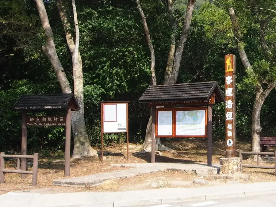
The MacLehose Trail Start Point marks the beginning of a world-class 100km hiking adventure that spans the width of Hong Kong. Named after Sir Murray MacLehose, the longest-serving Governor of Hong Kong and an avid hiker himself, the trail officially kicks off at the Pak Tam Chung barrier in Sai Kung. This starting line is famously marked by distance post 000, where hikers begin their journey through the Sai Kung East Country Park. The initial section follows the dramatic perimeter of the High Island Reservoir, renowned for its dramatic hexagonal volcanic rock columns and impressive turquoise waters. Divided into ten manageable sections, the trail crosses rugged ridges, lush valleys, and pristine beaches, eventually reaching Tuen Mun in the west. Recognized by National Geographic as one of the world's best hiking trails, it provides an unparalleled escape into the wild heart of Hong Kong, far from the urban skyline.
- Location: Hong Kong SAR China
- Top sights: Astropark · Yuen Ng Fan Viewing Point
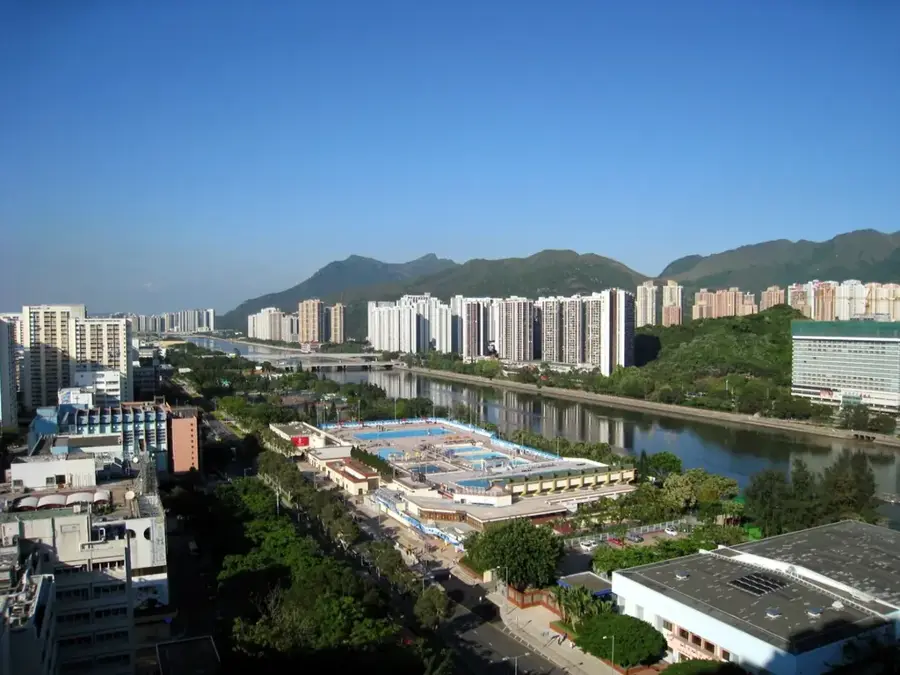
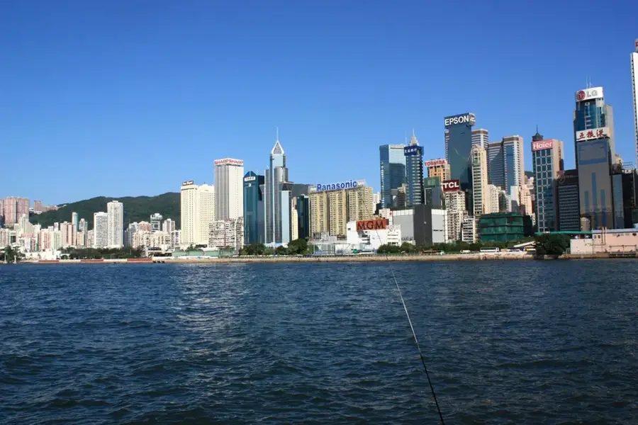
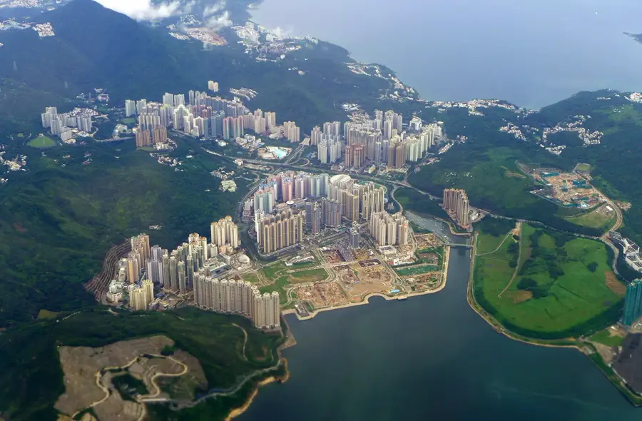
- Nearby: Sai Kung (6 km)
Best time to visit & climate
The most pleasant time to visit is Feb, Mar, Nov.
| Jan | Feb | Mar | Apr | May | Jun | Jul | Aug | Sep | Oct | Nov | Dec | |
|---|---|---|---|---|---|---|---|---|---|---|---|---|
| Avg °C | 16 | 18 | 20 | 23 | 26 | 28 | 29 | 28 | 28 | 25 | 22 | 17 |
| Rain mm | 36 | 29 | 72 | 104 | 210 | 282 | 185 | 218 | 161 | 49 | 30 | 25 |
📋 Practical info
Geography
Facts
- Length: 100 km
- Opened in 1979
- Divided into 10 sections
- Highest point: Tai Mo Shan 957 m
- Start at Pak Tam Chung, end at Tuen Mun
- Full hike takes 4-5 days
Explore nearby
Notable places around
Route planner — Car & Motorhome
Where do you start? We build the route here, with stops and country notes along the way.
© OpenStreetMap contributors · OpenRouteService
Sights in the town MacLehose Trail Start Point (2)
Sights nearby
Frequently asked questions
Where exactly does the MacLehose Trail start?
How long is the entire trail?
Is the first section difficult?
Do I need a permit to hike it?
Are there water points at the start?
MacLehose Trail Start Point: where is it located?
MacLehose Trail Start Point: what is there to see?
MacLehose Trail Start Point: when is the best time to visit?
MacLehose Trail Start Point: why is it worth visiting?

Nearby cities