Plizio Visual Lab
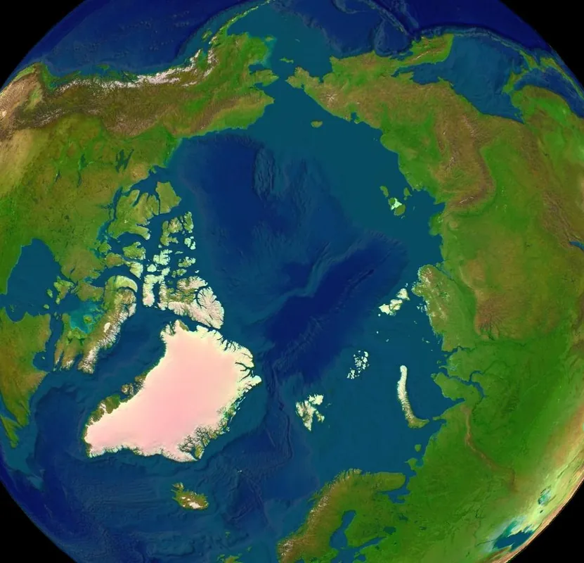
High North
Weather…
Water temperature…
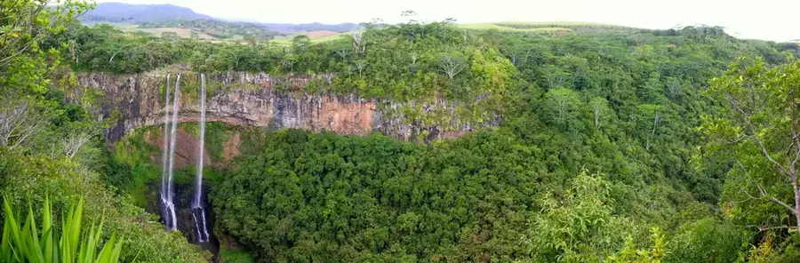
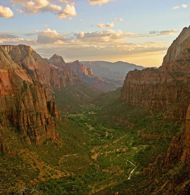
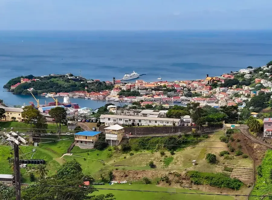
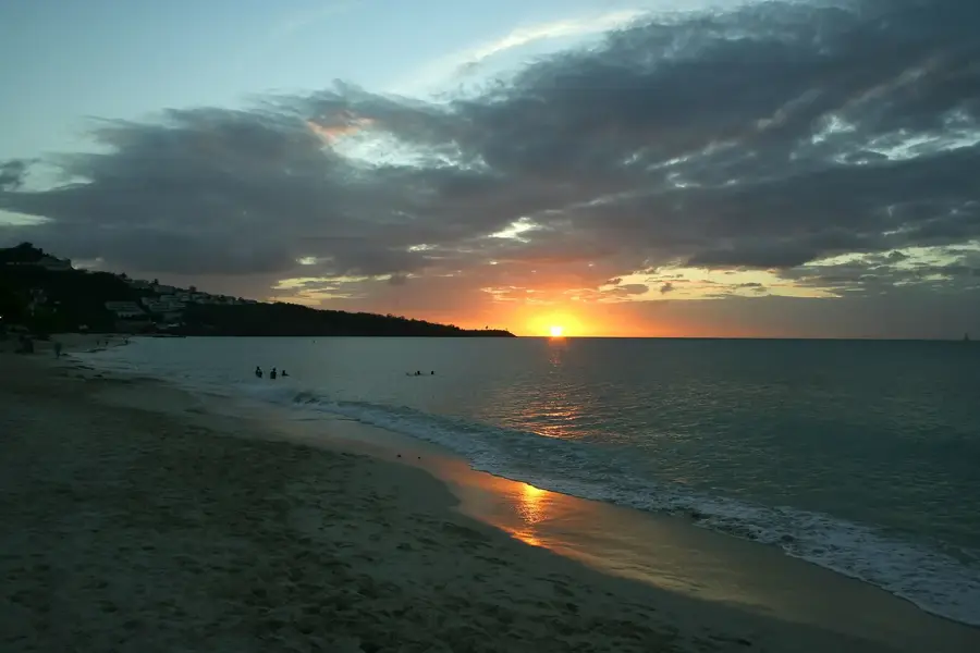
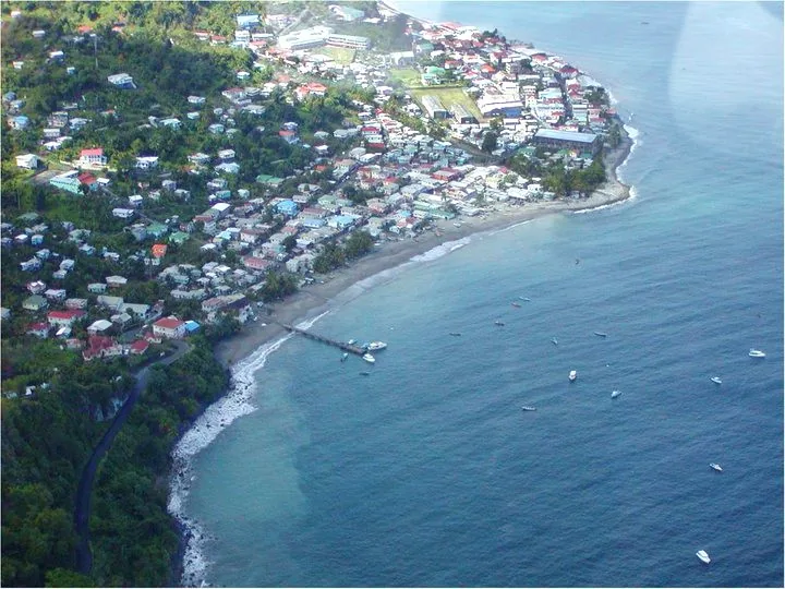
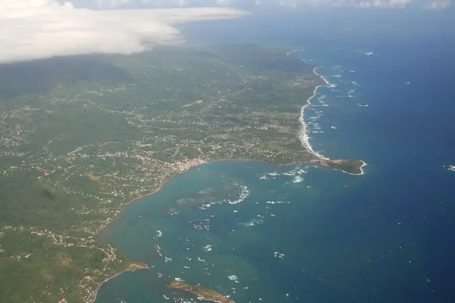
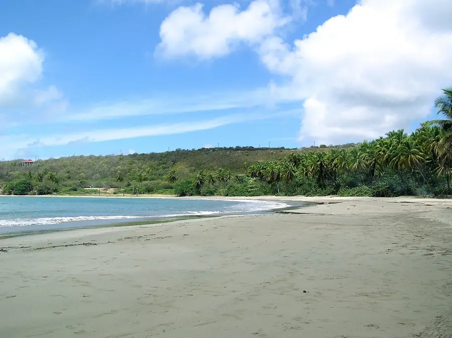
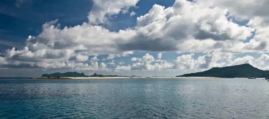
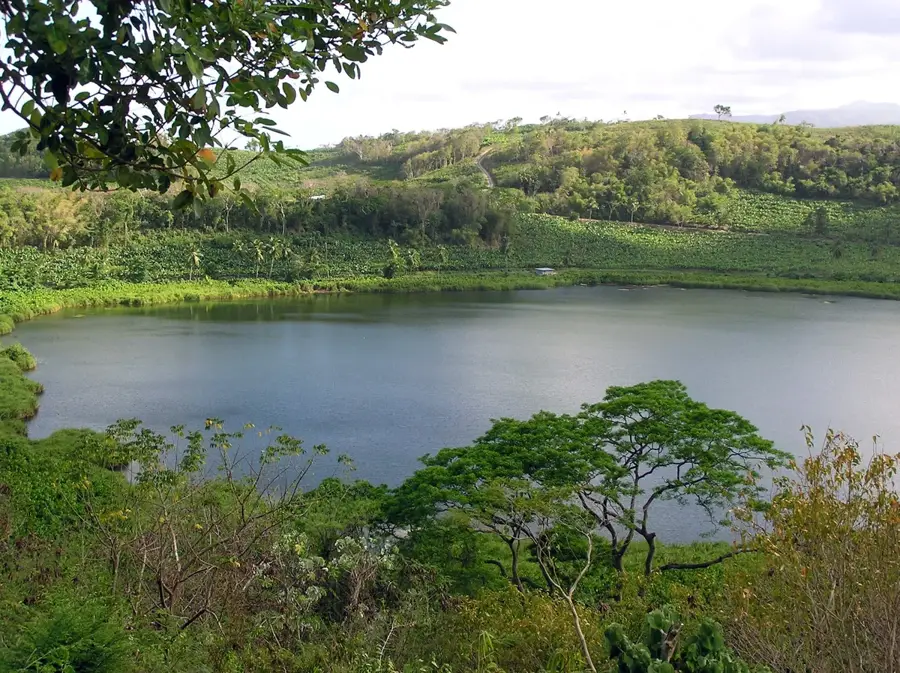
High North is the highest peak on the island of Carriacou, rising to 291 meters and serving as the focal point of a vital national park. This protected area is ecologically significant for preserving one of the few remaining primary dry forest habitats in the Caribbean. Unlike the rainforests found on the larger island of Grenada, the vegetation here is specially adapted to lower rainfall, featuring unique flora that supports a variety of wildlife, including iguanas, land crabs, and diverse bird species. Hiking to the summit is a popular activity, with trails winding through the shaded forest to the lookout point. From the top, visitors are treated to a dramatic 360-degree view of the Grenadines, with the neighboring islands of Union Island and Petit St. Vincent visible across the sparkling turquoise waters. High North is a symbol of Carriacou's commitment to conservation, offering a serene escape and a deep connection to the island's natural heritage and geological history.
- Location: Grenada
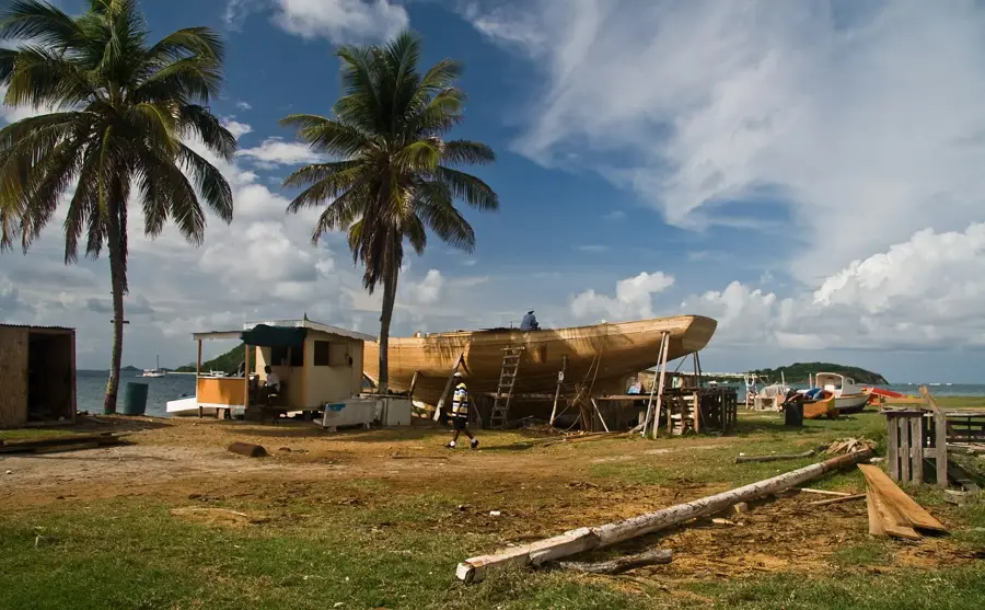
- Nearby: Harvey Vale (5 km)
Best time to visit & climate
The most pleasant time to visit is Feb–Apr.
| Jan | Feb | Mar | Apr | May | Jun | Jul | Aug | Sep | Oct | Nov | Dec | |
|---|---|---|---|---|---|---|---|---|---|---|---|---|
| Avg °C | 27 | 26 | 27 | 27 | 28 | 28 | 28 | 28 | 29 | 28 | 28 | 27 |
| Rain mm | 44 | 22 | 28 | 29 | 59 | 99 | 114 | 123 | 114 | 142 | 131 | 72 |
📋 Practical info
Geography
Facts
- Elevation range: 200-300 meters.
- Region area: approximately 50 km².
- Annual banana production: 5,000 tons.
- Number of farms: 200.
- Population density: 30 inhabitants per km².
- Average annual rainfall: 2,000 mm.
Explore nearby
Notable places around
Route planner — Car & Motorhome
Where do you start? We build the route here, with stops and country notes along the way.
© OpenStreetMap contributors · OpenRouteService
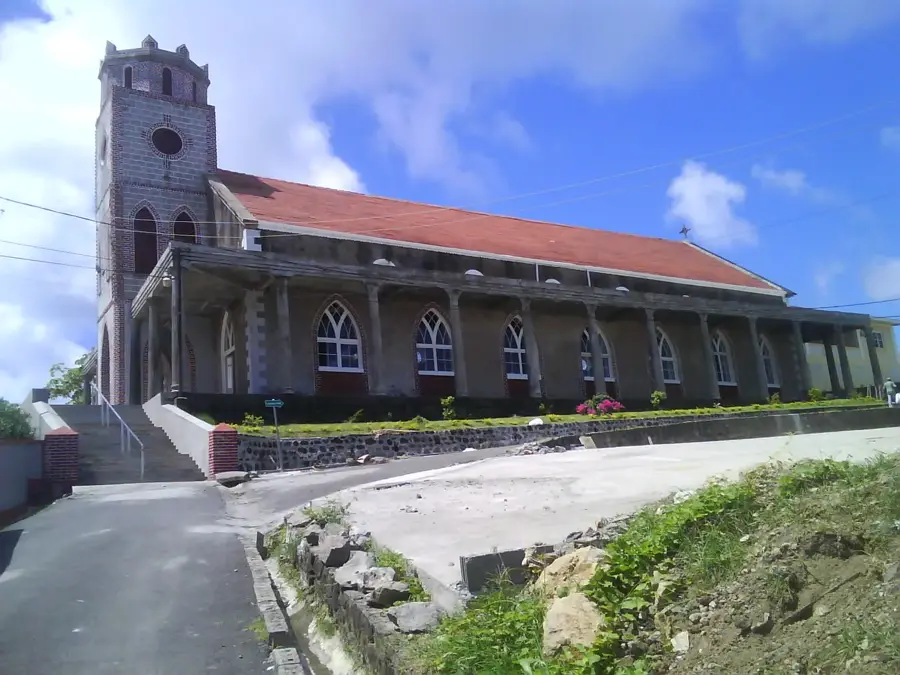
Sights in the town High North (1)
Sights nearby
Frequently asked questions
Where is the High North peak located?
Is it a protected area?
How high is the peak?
Are there marked hiking trails?
What can you see from the top?
High North: where is it located?
High North: when is the best time to visit?
High North: why is it worth visiting?

Nearby cities
History & landmarks

Nature


More places