Plizio Visual Lab
Levera Hill

Weather…
Water temperature…
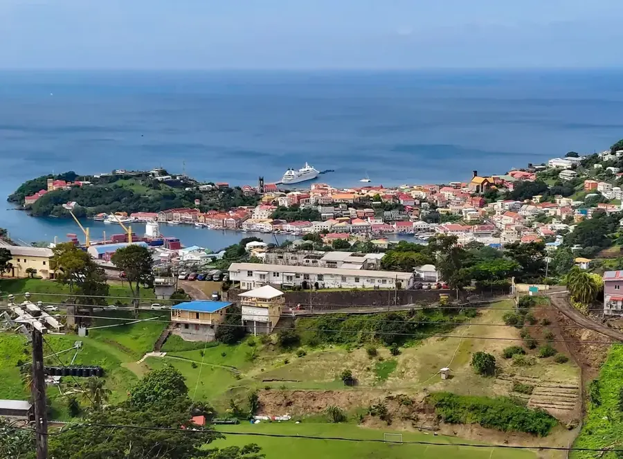
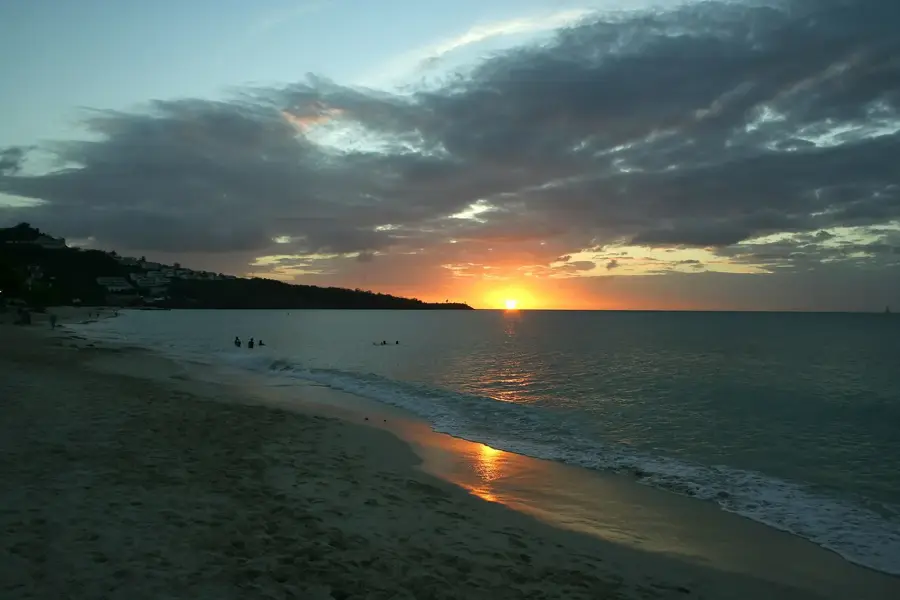
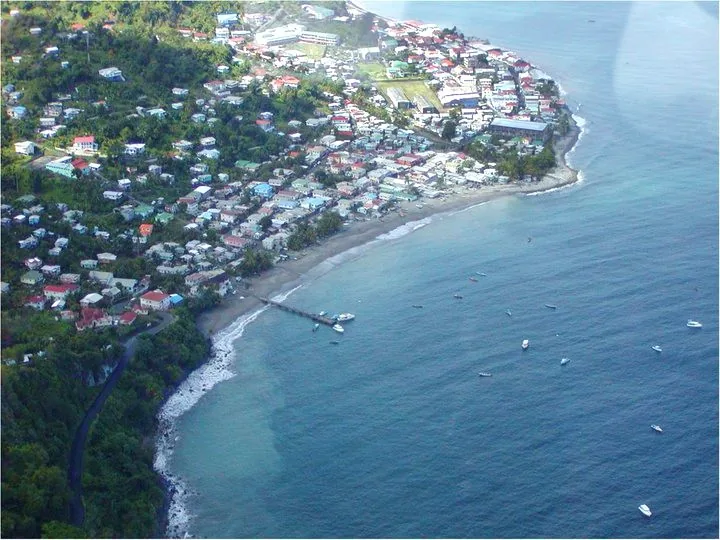
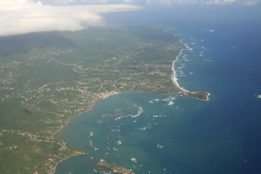
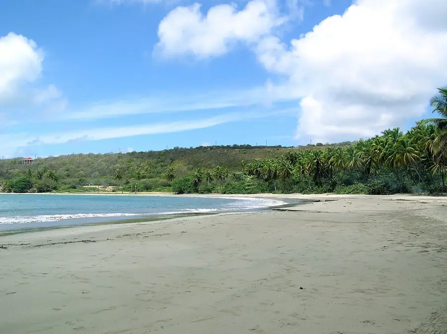
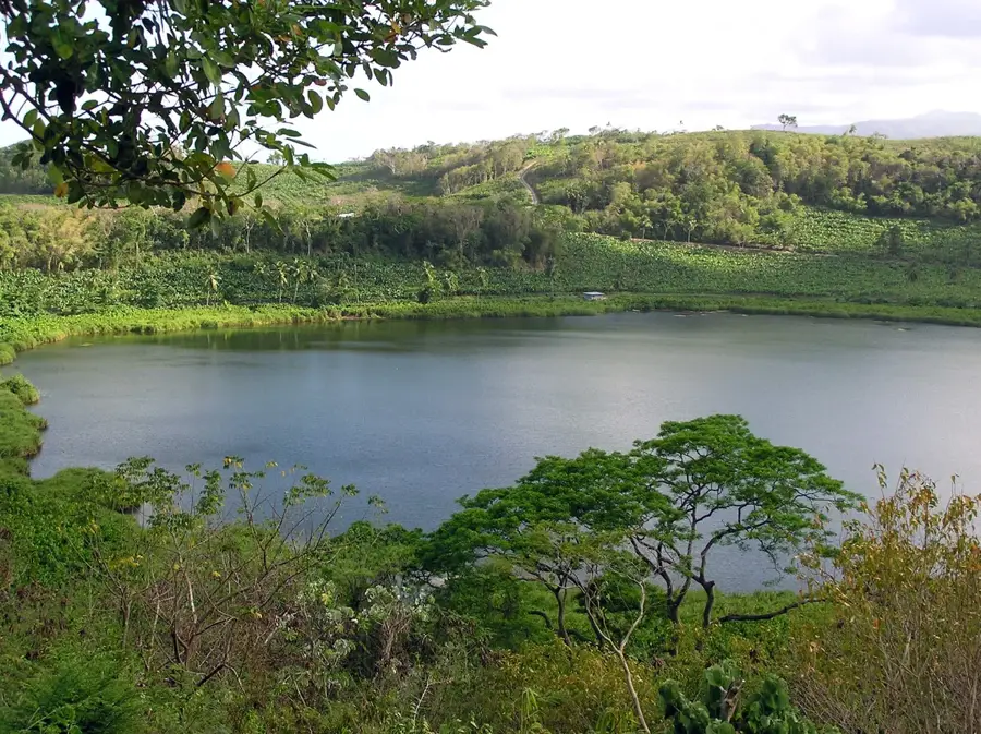
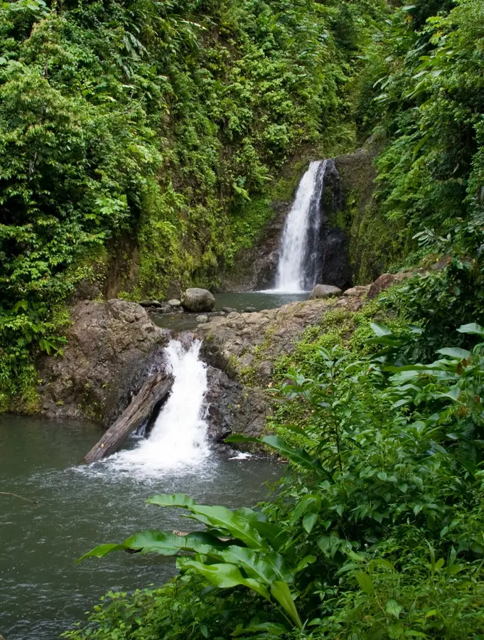
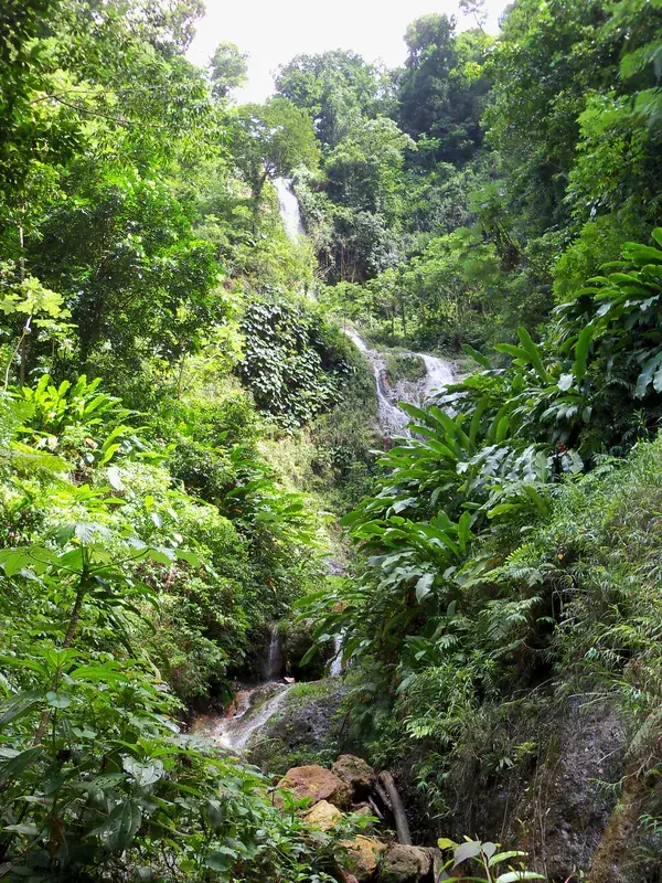
Levera Hill is a prominent extinct volcanic cone that dominates the landscape at the northernmost tip of Grenada. Its elevated position makes it one of the island's most spectacular vantage points, offering sweeping views over the Levera Archipelago, including the iconic Sugar Loaf island and the smaller islets of Green and Sandy. From the summit, one can look down upon the expansive beaches and the vital wetland ecosystems of the Levera National Park, which is a critical nesting ground for leatherback sea turtles. The hike to the top takes visitors through dry coastal forests, providing opportunities to spot local birdlife and unique tropical flora. Geologically, the hill is a fascinating remnant of Grenada's volcanic origins, with its distinct conical shape serving as a natural landmark. It is a favored spot for photographers and nature enthusiasts seeking to experience the raw, untouched beauty of the island's northern coastline, where the Atlantic currents meet the Caribbean.
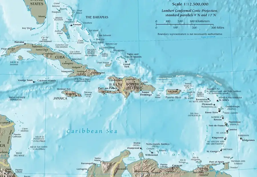
- Location: Grenada
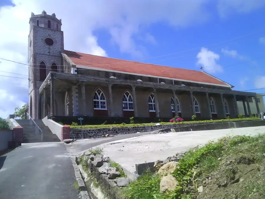
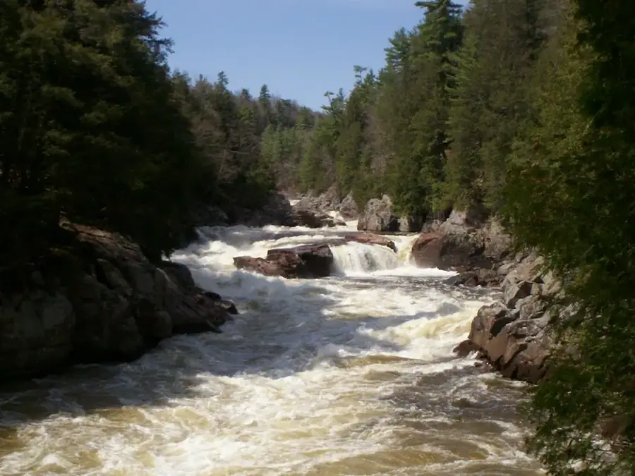
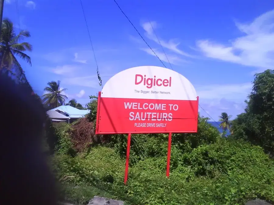
- Top sights: Sugar Loaf Island (Grenada) · Saint Patrick River · Sauteurs
- Nearby: Grenville (5 km)
Best time to visit & climate
The most pleasant time to visit is Feb–Apr.
| Jan | Feb | Mar | Apr | May | Jun | Jul | Aug | Sep | Oct | Nov | Dec | |
|---|---|---|---|---|---|---|---|---|---|---|---|---|
| Avg °C | 27 | 26 | 27 | 27 | 28 | 28 | 28 | 28 | 29 | 28 | 28 | 27 |
| Rain mm | 65 | 30 | 34 | 37 | 78 | 135 | 159 | 161 | 141 | 180 | 175 | 108 |
📋 Practical info
Geography
Facts
- Elevation: 100 meters.
- Hiking trail length: 1 km.
- 5 islands visible from summit.
- Park area: 450 hectares.
- Distance to nearest beach: 500 meters.
- 30 bird species recorded on the hill.
Explore nearby
Notable places around
Route planner — Car & Motorhome
Where do you start? We build the route here, with stops and country notes along the way.
© OpenStreetMap contributors · OpenRouteService
Sights in the town Levera Hill (3)
Sights nearby
Frequently asked questions
Does Levera Hill offer a good view?
How do you reach the summit?
Can you go bird watching there?
Is the climb in the shade?
How high is the hill?
Levera Hill: where is it located?
Levera Hill: what is there to see?
Levera Hill: when is the best time to visit?
Levera Hill: why is it worth visiting?

Nearby cities
History & landmarks
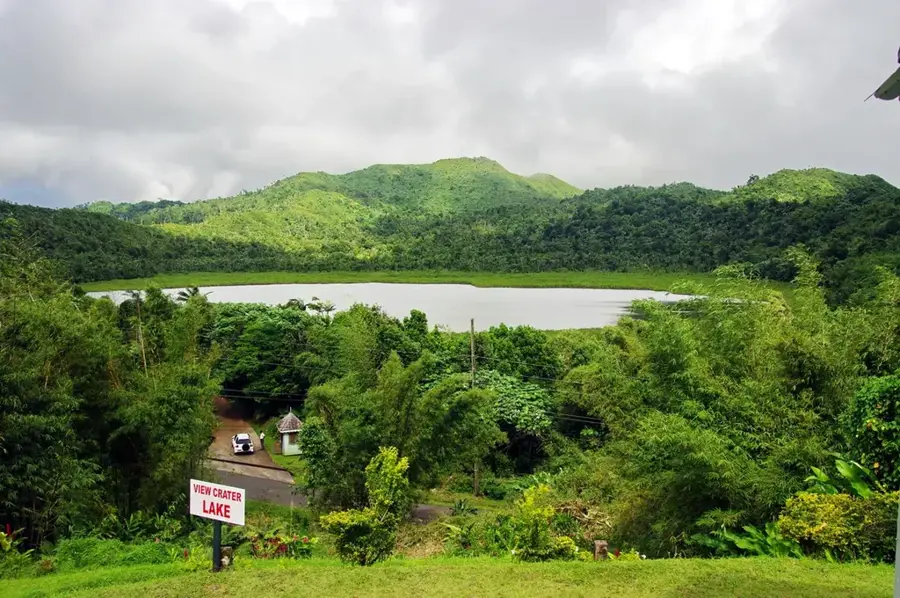
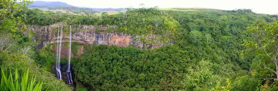
Nature


More places