Plizio Visual Lab
Mount Taygetos
Weather…
Water temperature…
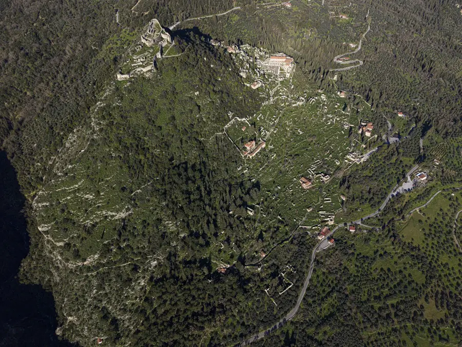
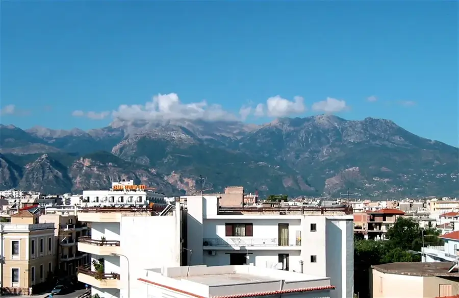
Mount Taygetos is the highest mountain range in the Peloponnese, extending about 115 kilometers through the regional units of Laconia and Messenia. Its highest summit, Profitis Ilias, reaches an altitude of 2,407 meters and is famous for its distinct pyramidal shape, which casts a near-first-rate triangular shadow over the Messenian Gulf at sunrise. Historically, Taygetos was an integral part of Spartan identity, serving as a natural fortress and a site for rigorous training and ritual. Geologically composed of limestone and marble, the range is characterized by steep cliffs and deep gorges, such as the Vyros Gorge, which is popular among hikers. The mountain has a high degree of endemism, with over 25 plant species found exclusively within its boundaries. Its slopes are blanketed with thick forests of black pine and Greek fir, providing a sanctuary for diverse wildlife including golden jackals and vultures. The rugged terrain and high peaks offer some of the most challenging and rewarding trekking experiences in Greece, combined with rich historical and cultural heritage.
- Location: Greece
- Top sights: Profitis Ilias · Halasmeno (Taygetos) · 'Gouves' point
- Nearby: Kardamyli (13 km)
Best time to visit & climate
The most pleasant time to visit is May, Jun, Sep.
| Jan | Feb | Mar | Apr | May | Jun | Jul | Aug | Sep | Oct | Nov | Dec | |
|---|---|---|---|---|---|---|---|---|---|---|---|---|
| Avg °C | 7 | 7 | 9 | 13 | 18 | 23 | 26 | 26 | 22 | 17 | 12 | 8 |
| Rain mm | 98 | 80 | 55 | 30 | 23 | 21 | 13 | 8 | 36 | 56 | 86 | 100 |
📋 Practical info
Geography
Facts
- The highest peak, Profitis Ilias, stands at 2,407 meters.
- Taygetos is mentioned by Homer as a playground for Artemis.
- The range's length is approximately 115 kilometers.
- It contains the deepest cave in the Peloponnese, located near the village of Kastori.
- Over 30 plant species are endemic to this specific mountain range.
- The Vyros Gorge was once an ancient path connecting Sparta to the sea.
Explore nearby
Notable places around
Route planner — Car & Motorhome
Where do you start? We build the route here, with stops and country notes along the way.
© OpenStreetMap contributors · OpenRouteService
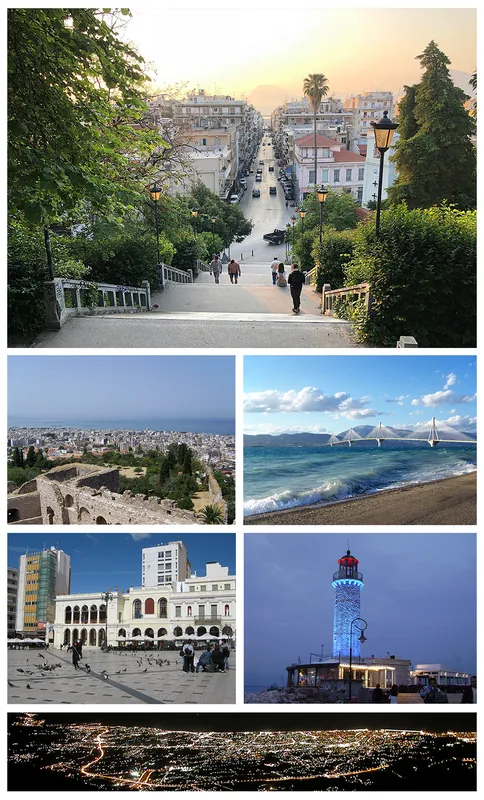
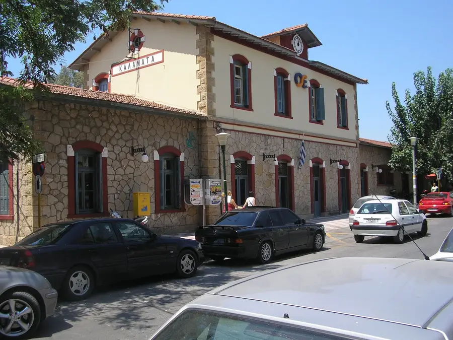
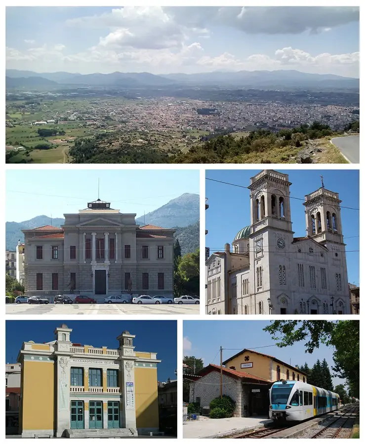
Sights in the town Mount Taygetos (3)
Sights nearby
Frequently asked questions
How high is the highest peak of Taygetos?
Which city lies at the base of the mountain?
What is the pyramid-shaped peak?
Is there a Byzantine ruined city there?
What is the legend of the Kaiadas chasm?
Mount Taygetos: where is it located?
Mount Taygetos: what is there to see?
Mount Taygetos: when is the best time to visit?
Mount Taygetos: why is it worth visiting?

Nearby cities


History & landmarks