Plizio Visual Lab
Gambo Hills

Weather…
Water temperature…
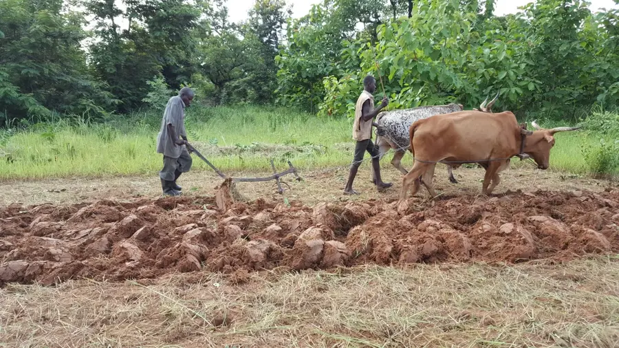
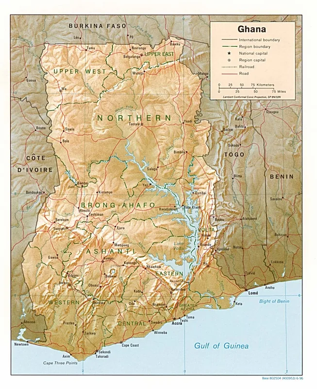
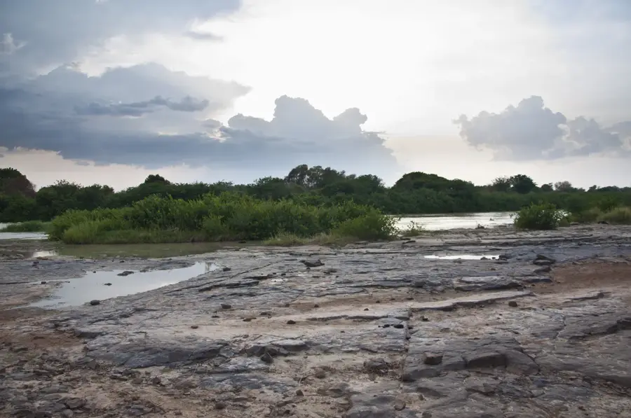
The Gambo Hills, frequently associated with the Gambaga Escarpment, are a prominent upland feature in northeastern Ghana. These highlands form a rugged northern boundary to the Volta Basin, rising steeply from the surrounding savanna landscape. Geologically, the hills are composed of horizontal layers of Voltaian sandstone that have been weathered over millions of years into a sharp, cliff-like formation. The region is notable for its relatively cooler temperatures compared to the intense heat of the northern plains, providing strategic vantage points that were historically significant for defense. The Gambo Hills served the local Mamprusi people as a natural fortress and a place of refuge during times of unrest. The surrounding vegetation consists of typical Sudan savanna species, including baobabs and acacias, which are resilient to the prolonged dry season. The hills influence the local drainage pattern, giving rise to several seasonal streams that flow southward into the White Volta River. Today, the area is increasingly recognized as a destination for hikers and cultural tourists interested in the spectacular cliffs and the heritage of the nearby town of Gambaga.
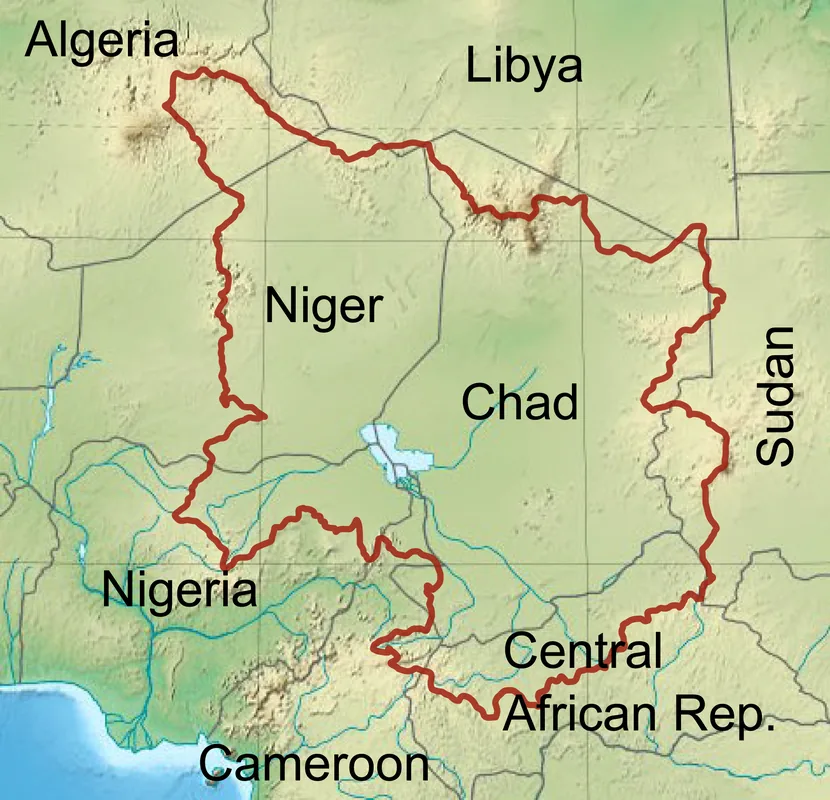
- Location: Ghana
- Nearby: Tamale (45 km)
Best time to visit & climate
The most pleasant time to visit is Jan, Nov, Dec.
| Jan | Feb | Mar | Apr | May | Jun | Jul | Aug | Sep | Oct | Nov | Dec | |
|---|---|---|---|---|---|---|---|---|---|---|---|---|
| Avg °C | 26 | 29 | 32 | 31 | 30 | 28 | 26 | 26 | 26 | 27 | 27 | 25 |
| Rain mm | 2 | 10 | 26 | 74 | 118 | 139 | 205 | 235 | 203 | 96 | 10 | 1 |
📋 Practical info
Geography
Facts
- The hills reach elevations ranging from 300 to 450 meters above sea level.
- The escarpment extends for approximately 100 kilometers from west to east.
- Geologically, the hills belong to the Upper Proterozoic Voltaian System.
- The region is famous for its ancient Mamprusi settlements and traditions.
- Gambaga was a key administrative center during the British colonial era.
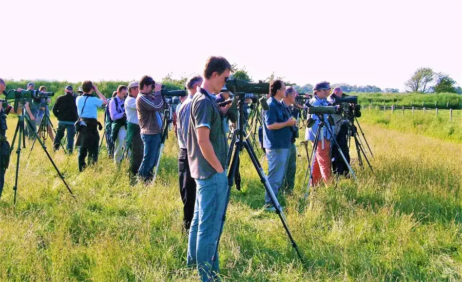
- The cliffs provide nesting sites for rare bird species like cliff swallows.
Explore nearby
Notable places around
Route planner — Car & Motorhome
Where do you start? We build the route here, with stops and country notes along the way.
© OpenStreetMap contributors · OpenRouteService
Sights in the town Gambo Hills (1)
Sights nearby
Frequently asked questions
Where are the Gambo Hills located?
What can you do there?
What is the climate like there?
Are there wild animals there?
When should you visit the hills?
Gambo Hills: where is it located?
Gambo Hills: when is the best time to visit?
Gambo Hills: why is it worth visiting?

Nearby cities

History & landmarks

Nature
More places