Plizio Visual Lab
Dagbon Plateau
Weather…
Water temperature…
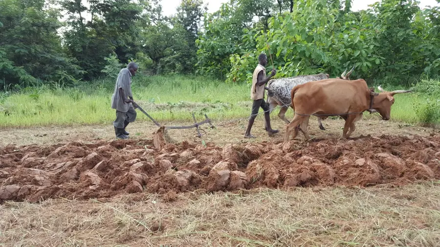
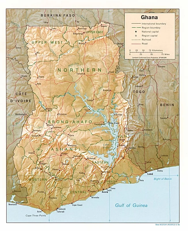
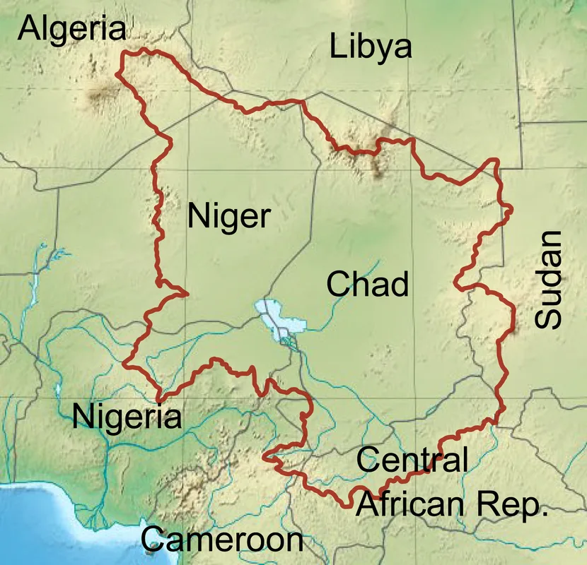
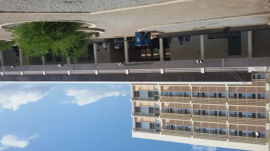
The Dagbon Plateau covers a significant portion of northern Ghana and serves as the historical heartland of the Dagbon Kingdom. It is a slightly elevated upland area with an average altitude of approximately 200 meters, geologically forming part of the Voltaian Basin. The landscape is characterized by expansive savanna woodlands where shea and locust bean trees are dominant, providing essential economic resources for the local population. The plateau is drained by the White Volta River and its tributaries, which are critical for water security in this seasonally arid region. Yendi is the traditional capital of the plateau and the seat of the Ya Na, the overlord of the Dagbon people. Agriculturally, the region is famous for producing large quantities of yams, maize, and groundnuts, with farming cycles tied to the single rainy season from May to October. The plateau also functions as a vital transit corridor for trade between Ghana and northern neighbors like Burkina Faso and Niger.
- Location: Ghana
- Nearby: Tamale (39 km)
Best time to visit & climate
The most pleasant time to visit is Jan, Nov, Dec.
| Jan | Feb | Mar | Apr | May | Jun | Jul | Aug | Sep | Oct | Nov | Dec | |
|---|---|---|---|---|---|---|---|---|---|---|---|---|
| Avg °C | 25 | 29 | 31 | 30 | 29 | 27 | 26 | 26 | 26 | 27 | 27 | 25 |
| Rain mm | 3 | 14 | 41 | 81 | 114 | 134 | 170 | 176 | 200 | 122 | 20 | 2 |
📋 Practical info
Geography
Facts
- Historical heartland of the Dagbon Kingdom
- Average elevation is approximately 200 meters
- Geologically part of the sedimentary Voltaian Basin
- Major production area for shea nuts and butter
- Seat of the Ya Na (Dagomba Overlord) in Yendi
- Primary agricultural producer of yams and maize
Explore nearby
Notable places around
Route planner — Car & Motorhome
Where do you start? We build the route here, with stops and country notes along the way.
© OpenStreetMap contributors · OpenRouteService
Sights nearby
Frequently asked questions
What is the Dagbon Plateau?
Which city is located on the plateau?
What should be considered during travel?
Are there tourist facilities there?
What products are typical for the region?
Dagbon Plateau: where is it located?
Dagbon Plateau: when is the best time to visit?
Dagbon Plateau: why is it worth visiting?

Nearby cities
History & landmarks

Nature
More places