Plizio Visual Lab
Oebisfelde-Weferlingen
ℹ️Practical info — Oebisfelde-Weferlingen
▾
🌤 Weather — 5 days
📍 Nearby
Sights nearby
💡 Tips
- Visit the Drömling Nature Park early in the morning for the best bird watching and peaceful nature.
- Discover the history of the inner-German border at the preserved border installations and local memorials.
- The unique swamp castle in Oebisfelde is a great starting point for historical walks through the town.
- Renting a bicycle is the best way to explore the flat terrain and nature between the two town parts.
🍽 Food
A traditional, rich clear soup; look for it in the region's traditional inns.
Regional game from the forests around the Drömling, often served in traditional restaurants.
A seasonal highlight in spring, offered in almost all local taverns during the season.
🛍 Shopping · 🧘 Quiet spots
Look for farm shops on the outskirts for fresh vegetables and local honey.
Buy fresh local bread and pastries at the small bakeries in the center of Oebisfelde.
Vast wetlands and quiet hiking trails, excellent for a break in nature.
A peaceful spot for a walk right along the riverside.
Water temperature…
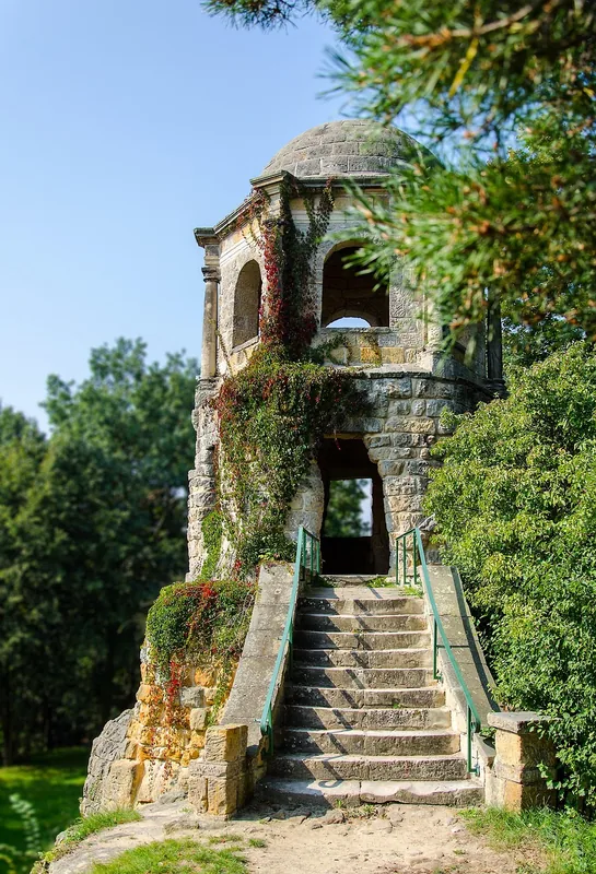
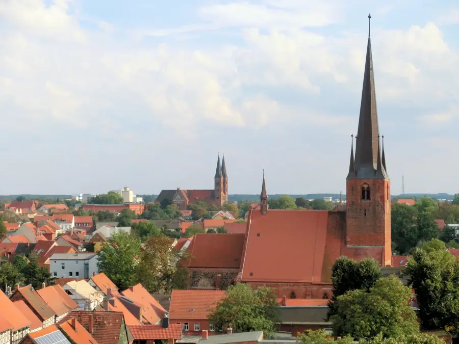
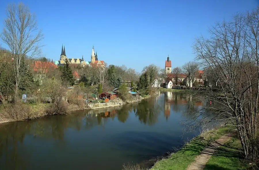
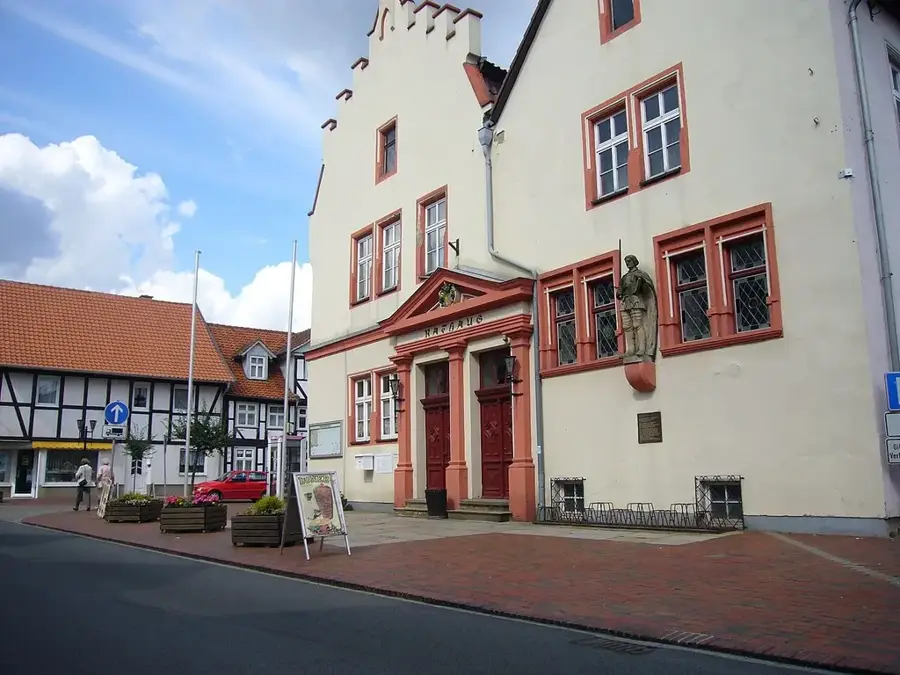
The twin town of Oebisfelde-Weferlingen is situated directly on the western border of Saxony-Anhalt with Lower Saxony and is divided into two historic centers heavily influenced by the Aller river system and the Drömling Nature Park. In Oebisfelde, the historic swamp castle (Sumpfburg), one of the oldest preserved moated castles in northern Germany, forms the architectural centerpiece. The curtain wall and the well-preserved defense towers testify to the former strategic importance of the settlement. Weferlingen, on the other hand, is overlooked by the Grauer Mac, the massive ruined tower of a former castle that dominates the townscape along the Aller. For a long time, life in both districts was determined by their location on the inner-German border; today, the Green Belt (Grünes Band) runs through here, a natural corridor on the former death strip that is handy for historical and nature-focused cycling tours. The nearby Drömling, with its hundreds of water ditches, provides a refuge for rare bird species such as the black stork and the crane. Visitors appreciate the quiet, agricultural atmosphere, which makes it possible to combine centuries-old castle architecture with the observation of intact wetland flora and fauna.
- Location: Saxony-Anhalt, Germany
- Top sights: Oebisfelde Castle · Drömling Nature Park · Nicolaikirche
- Nearby: Wolfsburg (13 km)
- Population: ~13.479
Best time to visit & climate
The most pleasant time to visit is Jun–Aug.
| Jan | Feb | Mar | Apr | May | Jun | Jul | Aug | Sep | Oct | Nov | Dec | |
|---|---|---|---|---|---|---|---|---|---|---|---|---|
| Avg °C | 0 | 1 | 4 | 9 | 13 | 17 | 19 | 19 | 15 | 10 | 5 | 1 |
| Rain mm | 64 | 45 | 48 | 36 | 58 | 57 | 84 | 64 | 55 | 55 | 56 | 61 |
Geography
Facts
- Municipality established: 2010
- Area: 165.57 sq km
- Bordering Drömling Nature Park
- Elevation: 57 m above sea level
- Consists of 26 municipal districts
- Berlin-Lehrter railway line passes through
Explore nearby
Notable places around
Route planner — Car & Motorhome
Where do you start? We build the route here, with stops and country notes along the way.
© OpenStreetMap contributors · OpenRouteService
Sights in the town Oebisfelde-Weferlingen (5)
Frequently asked questions
What is the most important sight in Oebisfelde?
Can you see the former inner-German border here?
What activities does the Aller Cycle Route offer?
Is a visit to Weferlingen worth it?
How far is it to Wolfsburg?
Oebisfelde-Weferlingen: where is it located?
Oebisfelde-Weferlingen: what is there to see?
Oebisfelde-Weferlingen: when is the best time to visit?
Oebisfelde-Weferlingen: why is it worth visiting?

Nearby cities