Plizio Visual Lab
Saar
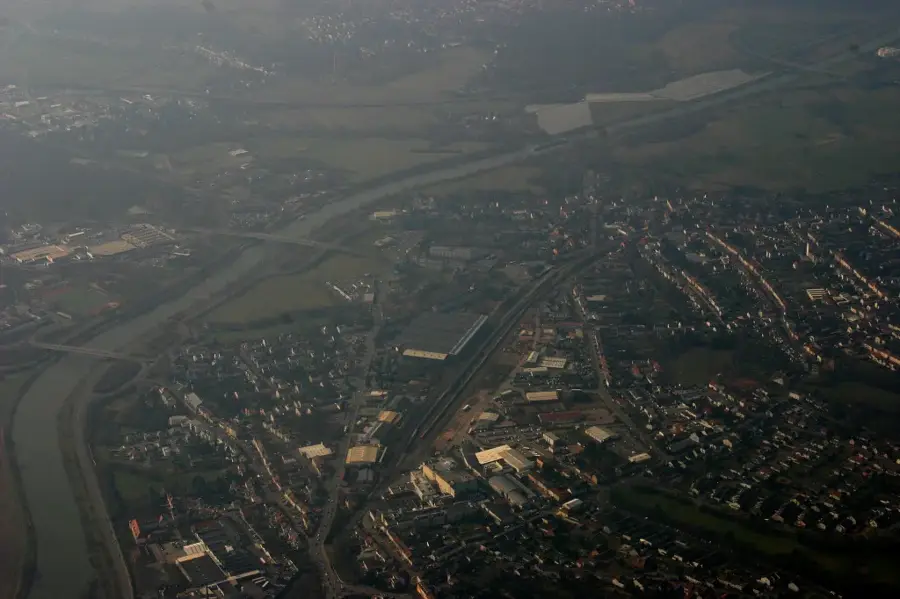
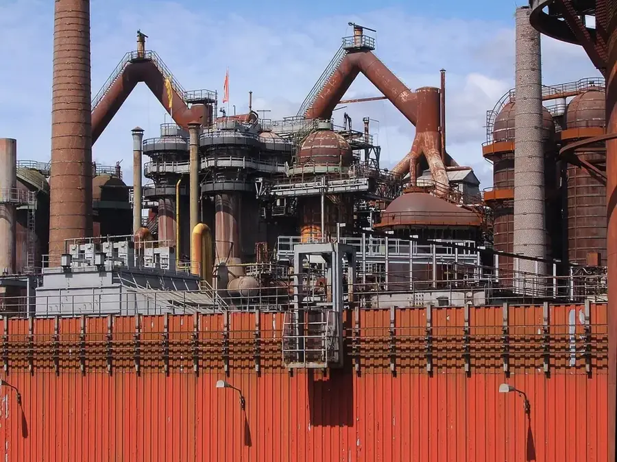
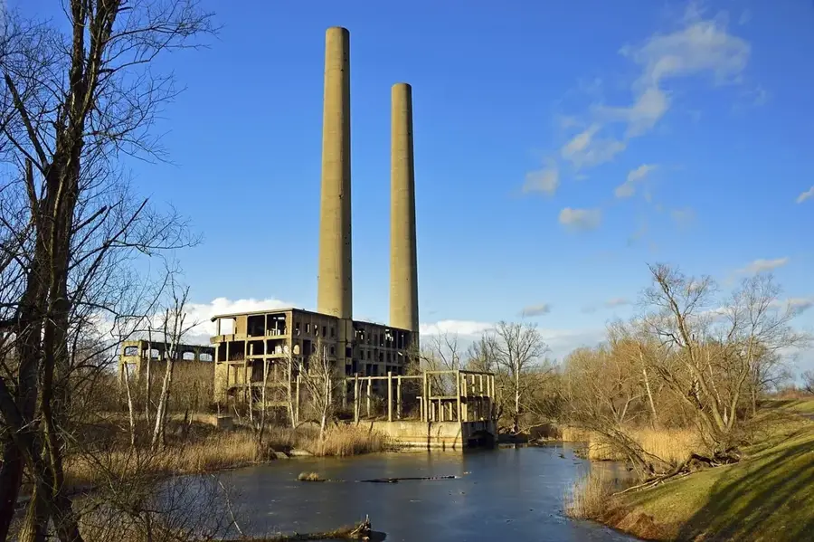
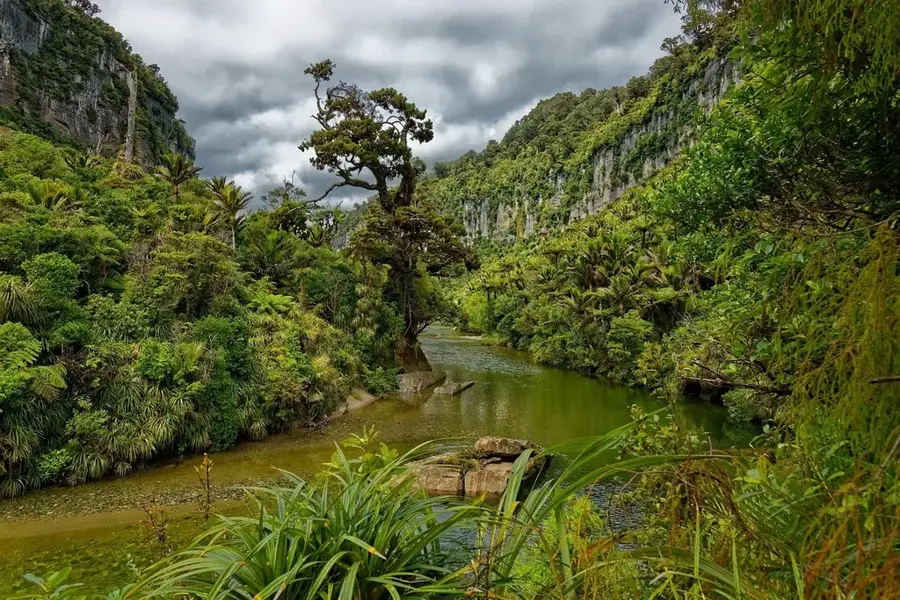
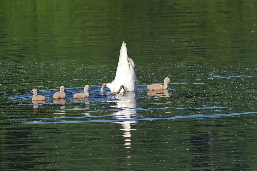
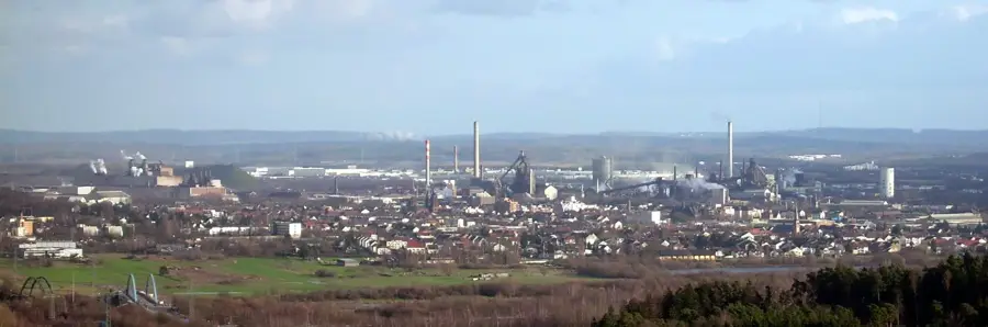
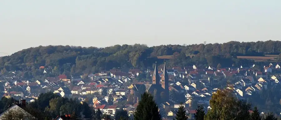
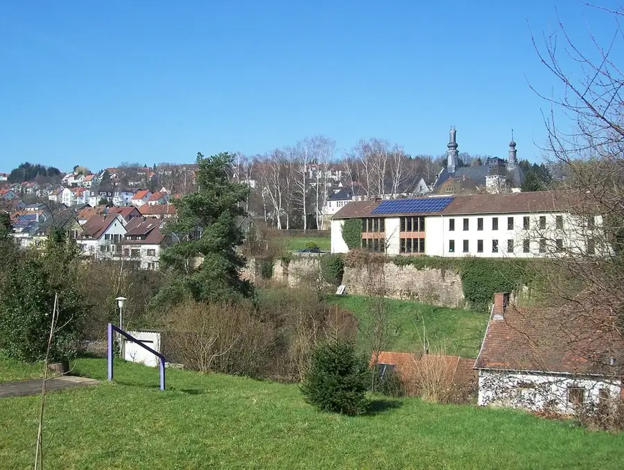
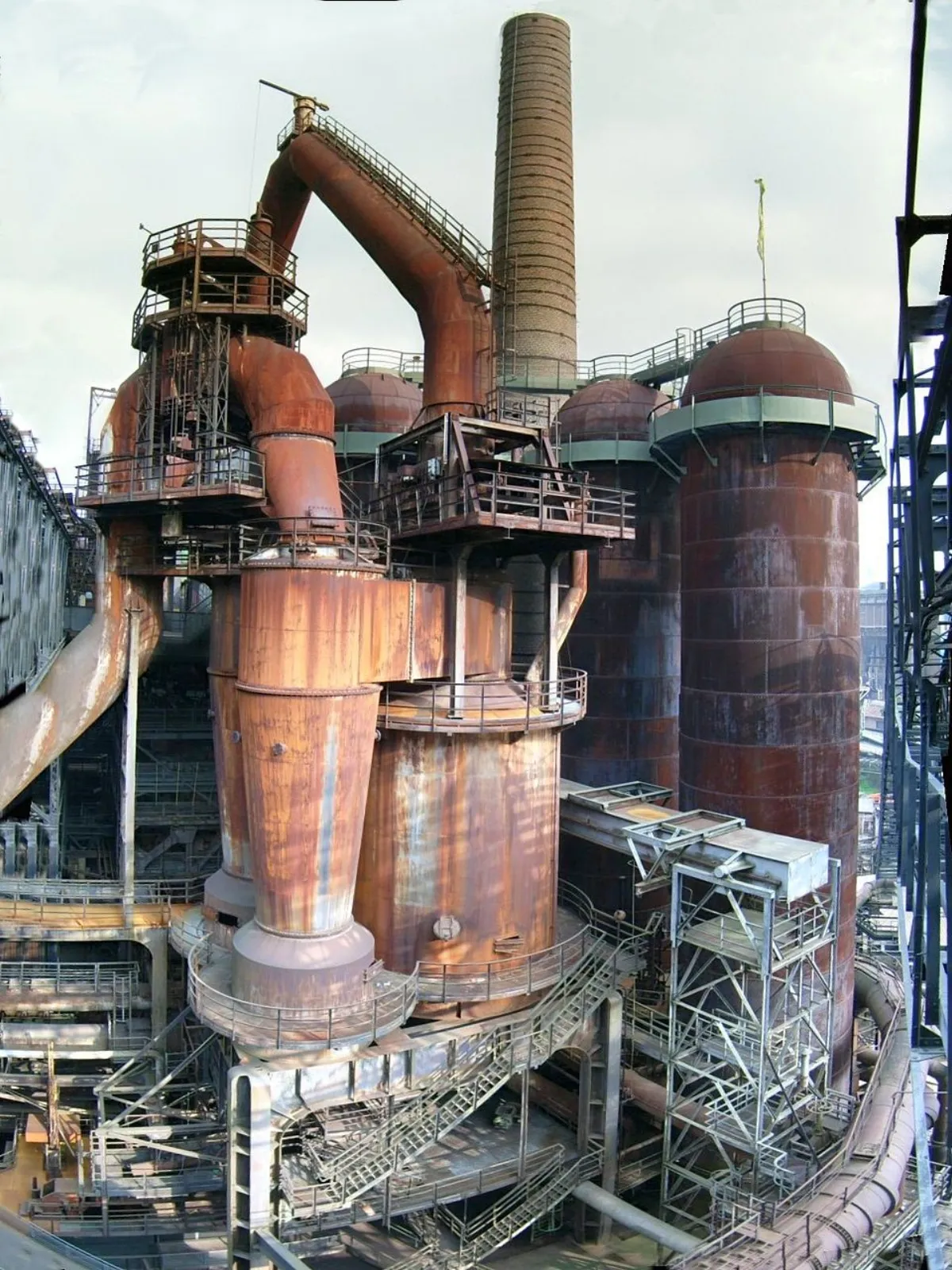
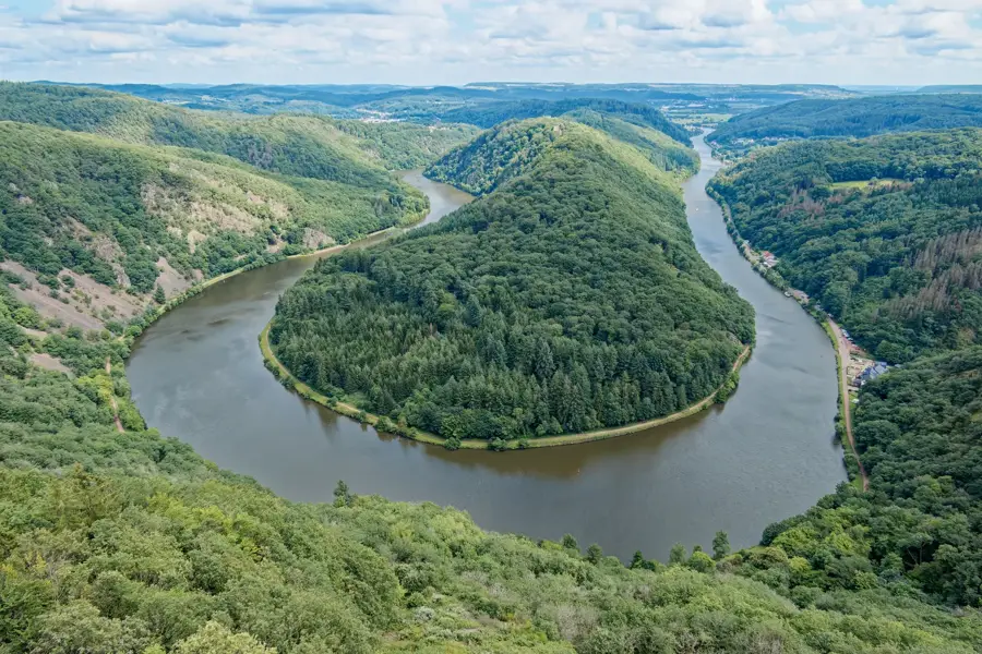
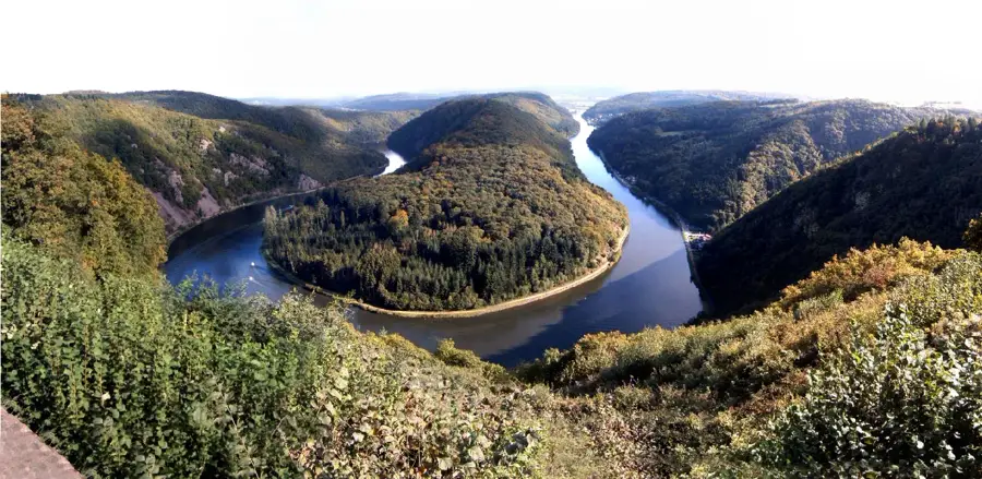
The Saar is a major waterway in southwestern Germany and eastern France, giving the federal state of Saarland its name. With a total length of around 235 kilometers, it originates in the Vosges mountains at the foot of Mount Donon in two source streams and flows into the Moselle at Konz. Historically, the river was the vital lifeline of the regional coal and steel industry, enabling the transport of heavy industrial goods and raw materials. In the 1980s, the Saar was extensively developed into a large-scale shipping route, a project officially completed in 1987. The landscape along the Saar is characterized by striking bends, forested slopes, and historic cities such as Saarbrücken and Saarlouis. Ecologically, water quality has improved massively over the last few decades through the construction of modern treatment plants, making the river a valuable habitat for numerous fish and bird species again. Furthermore, the Saar plays a central role in regional tourism, especially for river cruises and cyclists on the riverside paths.
- Location: Saarland, Germany
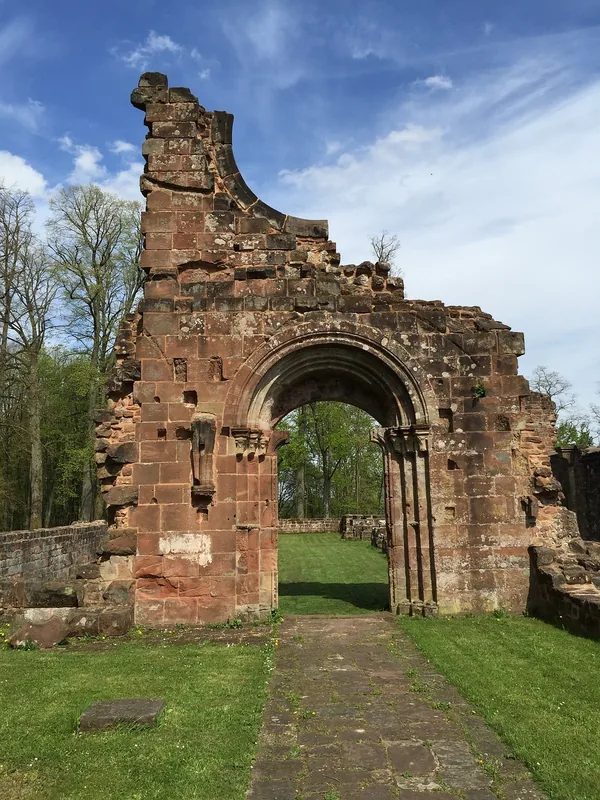
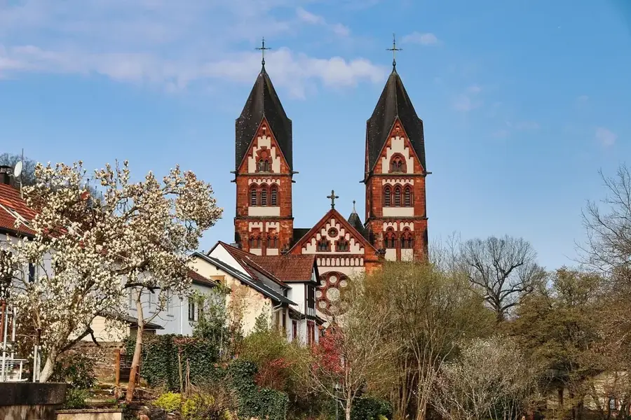
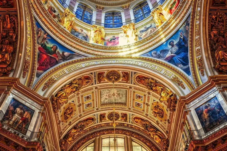
- Top sights: Hl. Dreifaltigkeit · Apolloniakapelle · Sonnenbad Steinrausch
- Nearby: Dillingen (4 km)
Best time to visit & climate
The most pleasant time to visit is Jun–Aug.
| Jan | Feb | Mar | Apr | May | Jun | Jul | Aug | Sep | Oct | Nov | Dec | |
|---|---|---|---|---|---|---|---|---|---|---|---|---|
| Avg °C | 0 | 1 | 4 | 9 | 13 | 17 | 19 | 18 | 14 | 9 | 5 | 1 |
| Rain mm | 74 | 61 | 62 | 47 | 75 | 69 | 69 | 75 | 57 | 68 | 73 | 89 |
📋 Practical info
Geography
Facts
- Total length of approximately 235 kilometers to the Moselle mouth
- Completion of the large-scale shipping route expansion in 1987
- Originates from two source streams (Red and White Saar) in France
- Eponym of the German federal state of Saarland
- Primary transport route for the regional coal and steel industry
- Presence of rare fish species due to improved water quality
Explore nearby
Notable places around
Route planner — Car & Motorhome
Where do you start? We build the route here, with stops and country notes along the way.
© OpenStreetMap contributors · OpenRouteService
Sights in the town Saar (10)
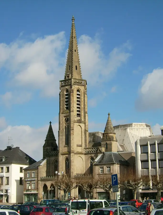
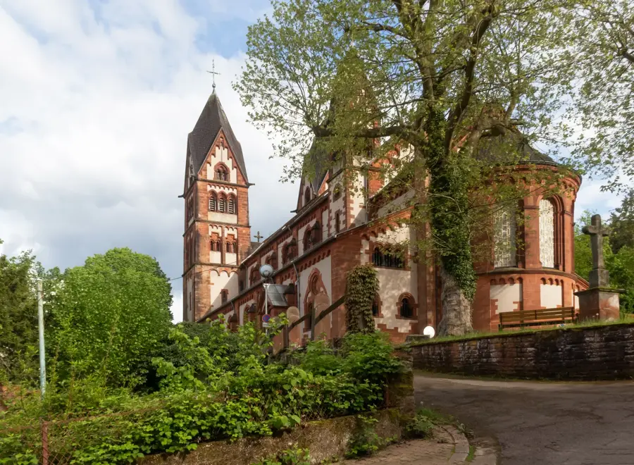
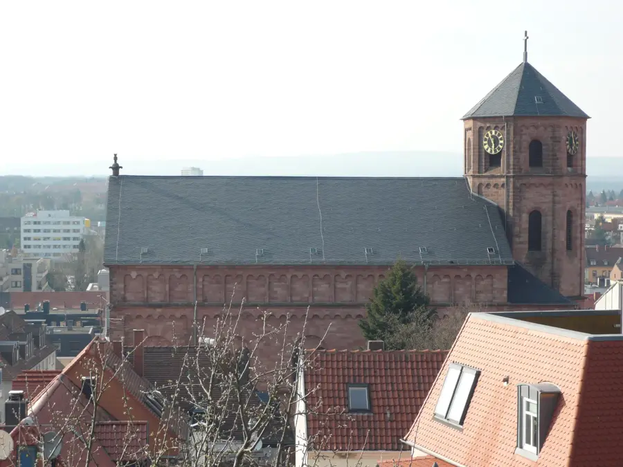
St. Johannes
St. Johannes is a Catholic church with parish center in Saarlouis-Steinrausch.
Peter-Neis-Brücke
Peter-Neis-Brücke is a bridge in Saarlouis, Germany.
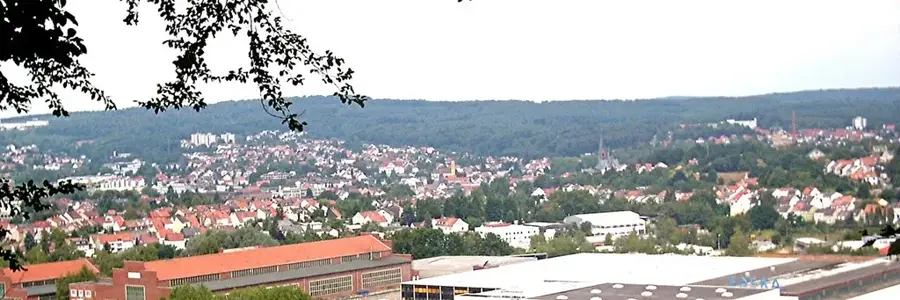
Nordpanorama
Nordpanorama is a viewpoint in Saarlouis.
Aussichtspunkt
This viewpoint features a view over the Saar landscape.
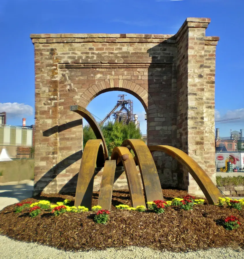
Saarpolygon
Saarpolygon is a monument in Ensdorf, Saarland, Germany.
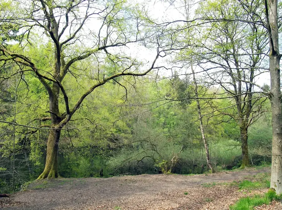
Ellbachtal
Ellbachtal is a nature reserve in Saarland.
Sights nearby
Frequently asked questions
Where does the Saar River rise?
Can you take boat trips on the Saar?
Are there cycling paths along the Saar?
Which cities are located on the Saar?
Can you swim in the Saar?
Saar: where is it located?
Saar: what is there to see?
Saar: when is the best time to visit?
Saar: why is it worth visiting?

Nearby cities


History & landmarks
Nature

More places