ONE OF THESE - A Celebration of Pink Floyd - Animals Tour
An impressive tribute to the legendary Pink Floyd album 'Animals' in Neukirchen-Vluyn.
Plizio Visual Lab
A generous traditional spread with coffee, bread, cold cuts, and cake in local cafes.
Try this hearty regional meat specialty in traditional German restaurants.
Grab a large slice of traditional crumb cake from a bakery in the city center.
Visit the markets in the Neukirchen and Vluyn districts for fresh regional produce.
The area around Vluyner Platz provides small boutiques and independent shops.
A vast area excellent for walks, kite flying, or simply enjoying the expansive views.
A beautiful recreation area with forest trails, well-suited for a quiet break.
Water temperature…
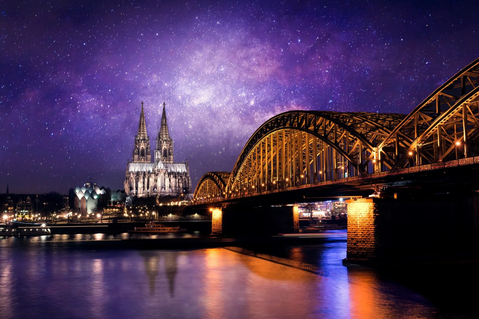
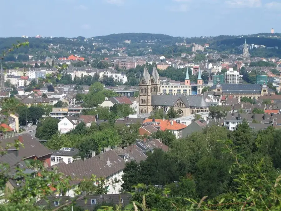
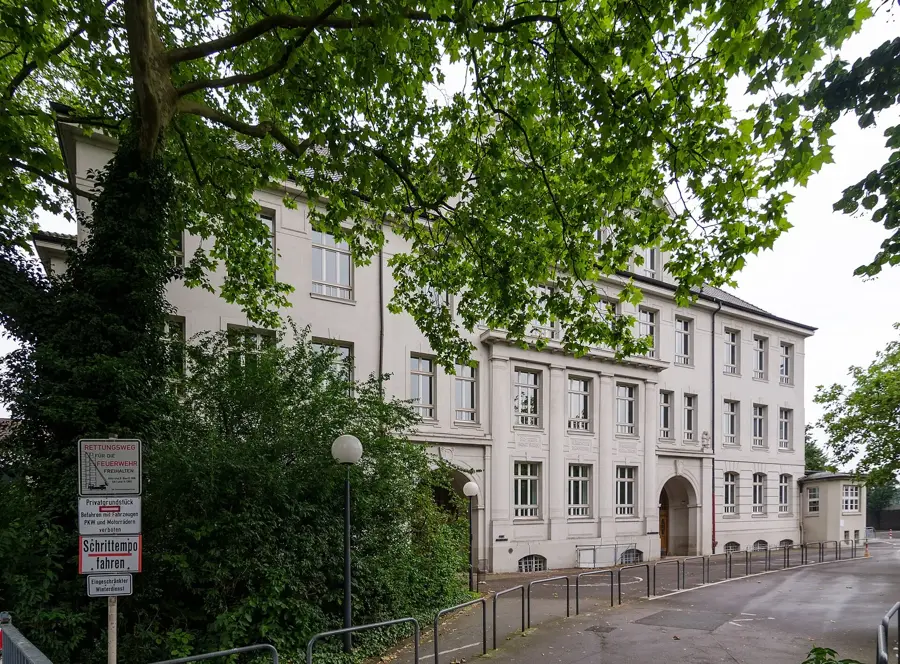
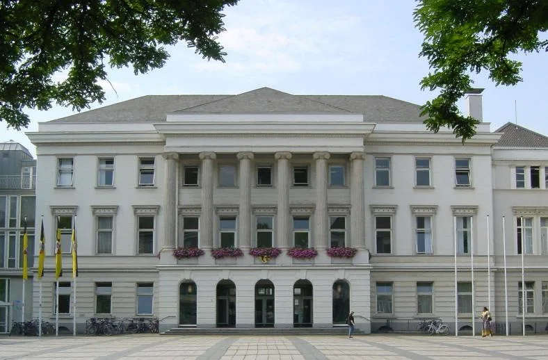
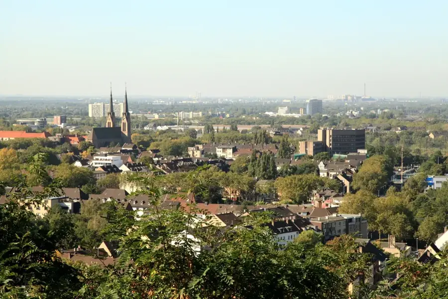
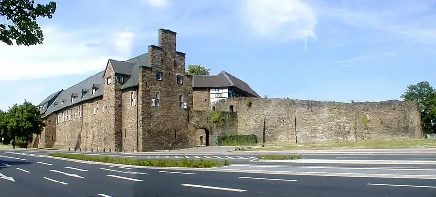
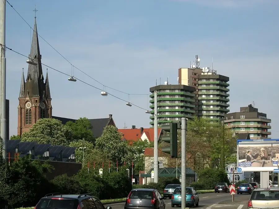
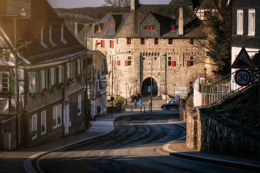
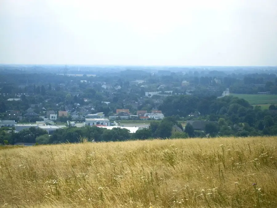
Neukirchen-Vluyn is located on the lower Rhine in the west of North Rhine-Westphalia and is part of the Wesel district. The city's history is inextricably linked to hard coal mining, particularly the Niederberg colliery, which for decades formed the economic backbone of the region. Following the closure of the mine in 2001, the city underwent an impressive structural change towards becoming a modern service and commercial hub. Geographically, the urban area is characterized by a mix of residential cores and extensive agricultural land. The Halde Norddeutschland, a landscaped slag heap, now serves as a prominent landmark and popular excursion destination offering panoramic views over the Ruhr area. The cultural identity of the city is preserved through numerous associations and the maintenance of mining traditions, as well as the historic village centers of Neukirchen and Vluyn, which have each retained their own welcoming character amidst modern developments.
The most pleasant time to visit is Jun–Aug.
| Jan | Feb | Mar | Apr | May | Jun | Jul | Aug | Sep | Oct | Nov | Dec | |
|---|---|---|---|---|---|---|---|---|---|---|---|---|
| Avg °C | 2 | 3 | 6 | 10 | 14 | 17 | 19 | 18 | 15 | 11 | 6 | 3 |
| Rain mm | 76 | 62 | 58 | 42 | 61 | 64 | 76 | 80 | 57 | 64 | 72 | 79 |
Notable places around
Where do you start? We build the route here, with stops and country notes along the way.
© OpenStreetMap contributors · OpenRouteService