Plizio Visual Lab
Central Uplands Zone
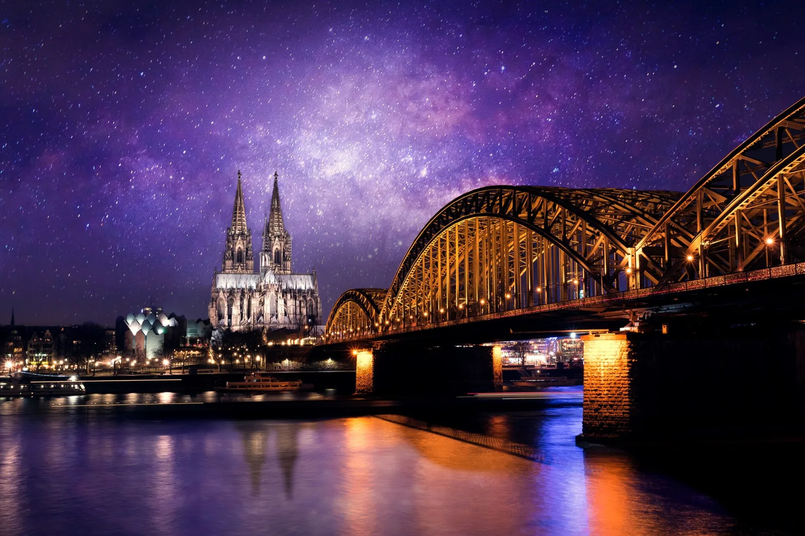
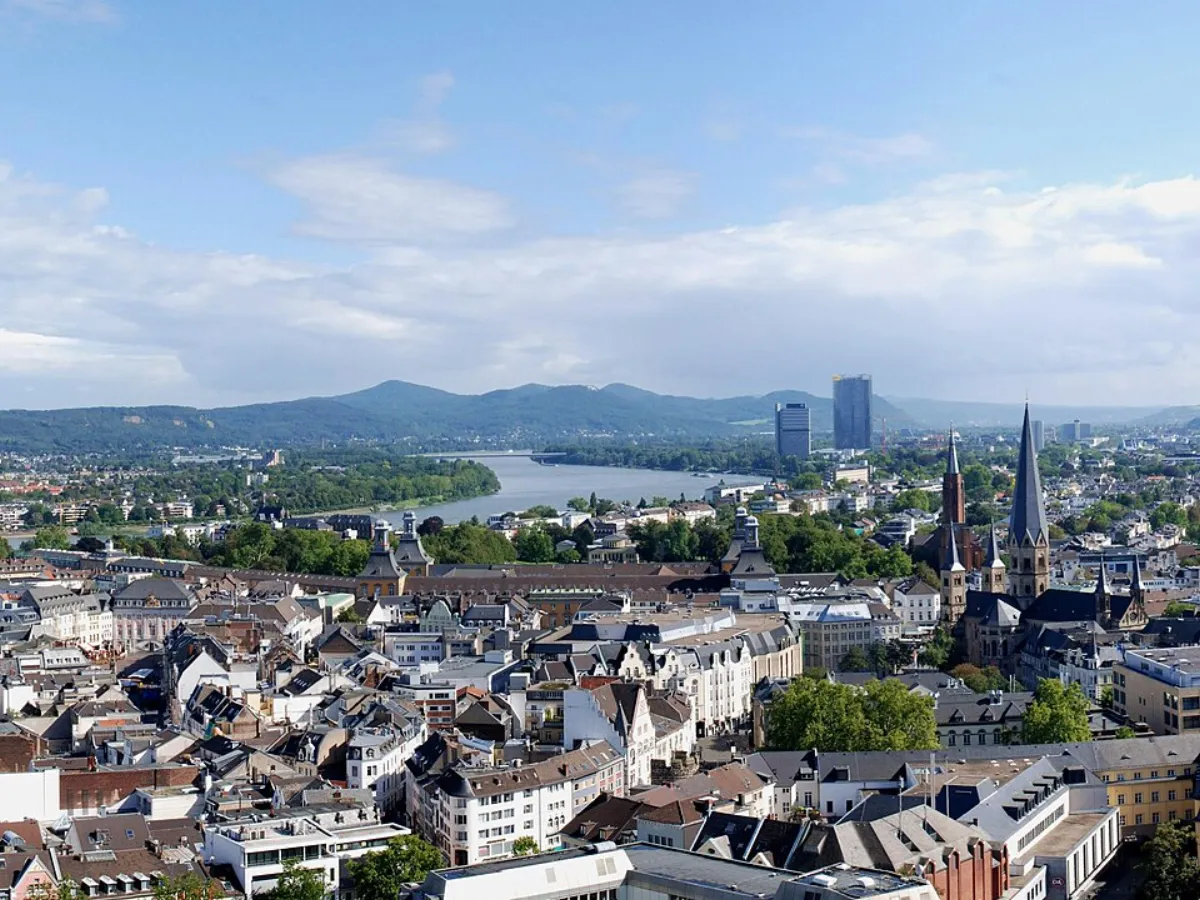
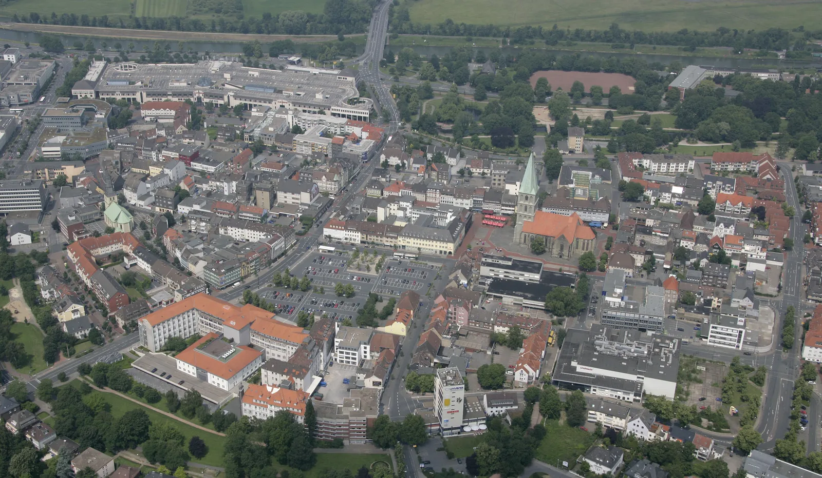
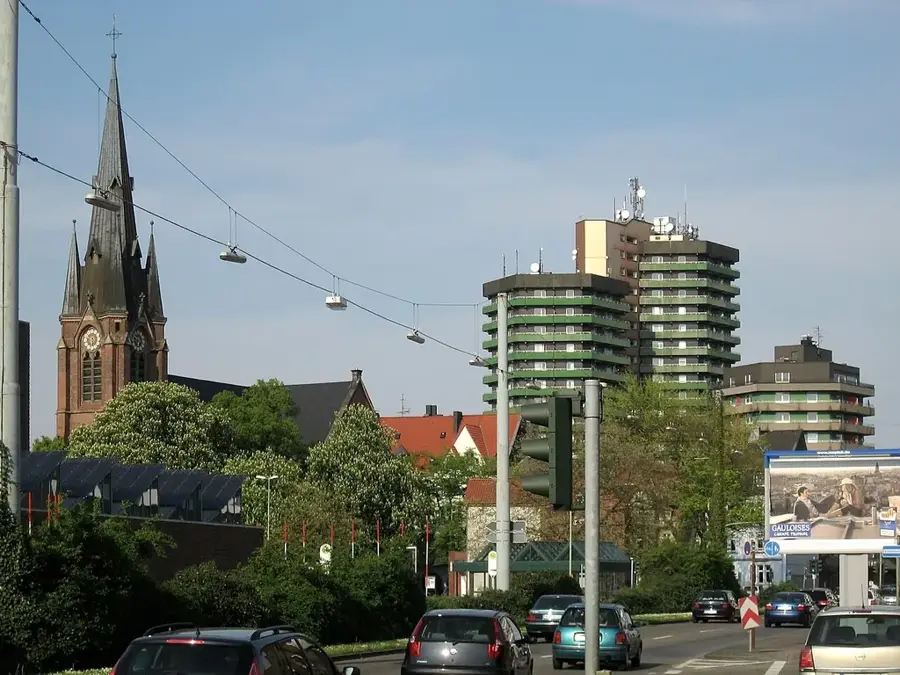
The German Central Uplands form the central bridge between the North German Plain and the Alpine Foreland. They include prominent mountain ranges such as the Harz, the Thuringian Forest, the Ore Mountains, the Rhön, and the Black Forest. These mountains were primarily formed during the Variscan orogeny and were later shaped into their current form by tectonic uplift and erosion. Elevations typically range between 500 and 1,500 metres, with the Feldberg in the Black Forest being the highest peak. Geologically, the zone is extremely diverse, ranging from granite and gneiss massifs to volcanic fields like the Eifel. The uplands are ecologically significant as water reservoirs and extensive forest areas, while economically they are shaped by mining traditions, forestry, and strong tourism.
- Location: North Rhine-Westphalia, Germany
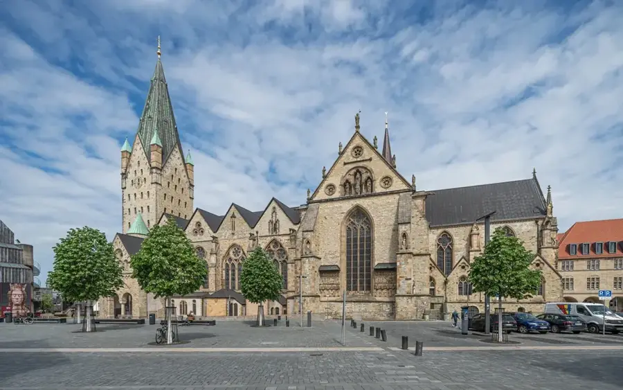
- Top sights: Herz-Jesu-Kirche · Wilzenberg-Kapelle · Eisenzeitliche Wallburg Wilzenberg
- Nearby: Bad Berleburg (14 km)
Best time to visit & climate
The most pleasant time to visit is Jun–Aug.
| Jan | Feb | Mar | Apr | May | Jun | Jul | Aug | Sep | Oct | Nov | Dec | |
|---|---|---|---|---|---|---|---|---|---|---|---|---|
| Avg °C | -1 | 0 | 3 | 8 | 12 | 16 | 18 | 18 | 13 | 9 | 4 | 0 |
| Rain mm | 69 | 52 | 54 | 47 | 74 | 70 | 82 | 74 | 60 | 59 | 66 | 72 |
📋 Practical info
Geography
Facts
- The Central Uplands cover approximately 40% of Germany's land area.
- The Feldberg in the Black Forest is the highest peak of the uplands at 1,493 metres.
- The Brocken in the Harz is famous for its extreme weather conditions and legends.
- Volcanic activities last shaped the Eifel landscape approximately 10,000 years ago.
- The Ore Mountains were a centre for silver and tin mining for centuries.
- Important rivers such as the Weser and the Saale originate in the Central Uplands.
Explore nearby
Notable places around
Route planner — Car & Motorhome
Where do you start? We build the route here, with stops and country notes along the way.
© OpenStreetMap contributors · OpenRouteService
Sights in the town Central Uplands Zone (10)
Ev. Auferstehungskirche
Church building in Gleidorf, Protestant church.
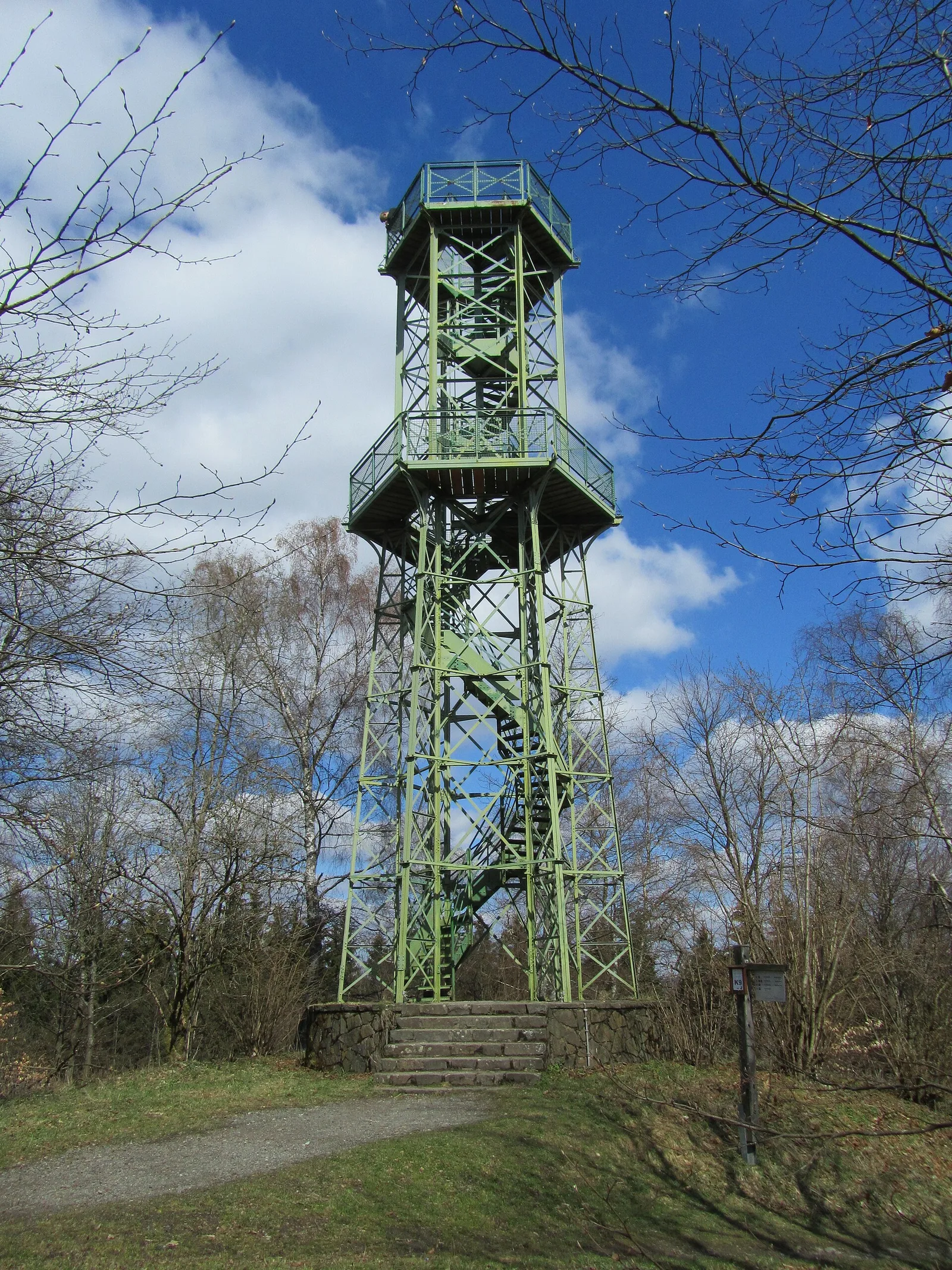
Wilzenbergturm
Observation tower in Schmallenberg, gives panoramic views.
Wilzenberg
Hill in Germany, mountain in the Sauerland.
Kneippbecken
Kneipp pool, water treading basin for health promotion.
Kloster Grafschaft
Abbey in Schmallenberg, former Benedictine monastery.
Modellbahn am Rothaarsteig
Model railway exhibition along the Rothaarsteig trail.
Sights nearby
Frequently asked questions
Which mountains belong to the Central Upland zone?
How high are the central uplands?
What is typical for this landscape?
Are the mountains suitable for winter sports?
Are there many hiking trails?
Central Uplands Zone: where is it located?
Central Uplands Zone: what is there to see?
Central Uplands Zone: when is the best time to visit?
Central Uplands Zone: why is it worth visiting?

Nearby cities