Plizio Visual Lab
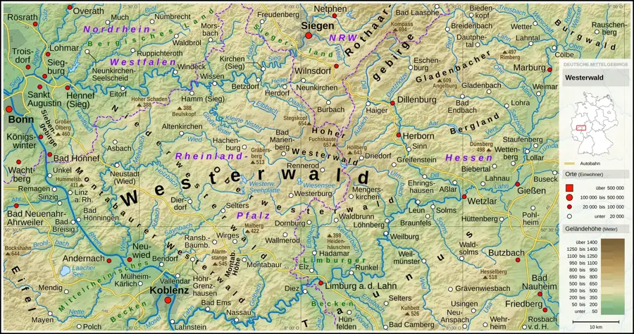
High Westerwald
Weather…
Water temperature…
The High Westerwald represents the highest elevated part of the Westerwald mountain range, spanning the German states of Rhineland-Palatinate, Hesse, and North Rhine-Westphalia. Geologically, the region was formed by volcanic activity during the Tertiary period, resulting in extensive basalt deposits that define its rugged topography. The highest peak is the Fuchskaute, reaching an elevation of 657 meters above sea level, situated near the boundary of the three federal states. Historically, the harsh climate and rocky soil made traditional farming difficult, leading the local population to rely on basalt quarrying, clay mining, and forestry. The plateau serves as a significant watershed between the Rhine and Lahn river systems, hosting the headwaters of several regional streams. Today, much of the area is integrated into the Westerwald-Sieg Nature Park, focusing on the preservation of its diverse ecosystems, including ancient beech forests and highland moors. The region is also noted for its scattered settlements and cultural heritage deeply rooted in the exploitation of its natural mineral resources.
- Location: Hesse, Germany
- Top sights: Wacholderheide Westernohe · Liegewiese Secker Weiher · Badestrand
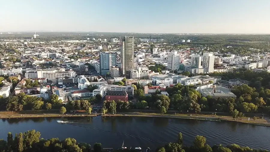
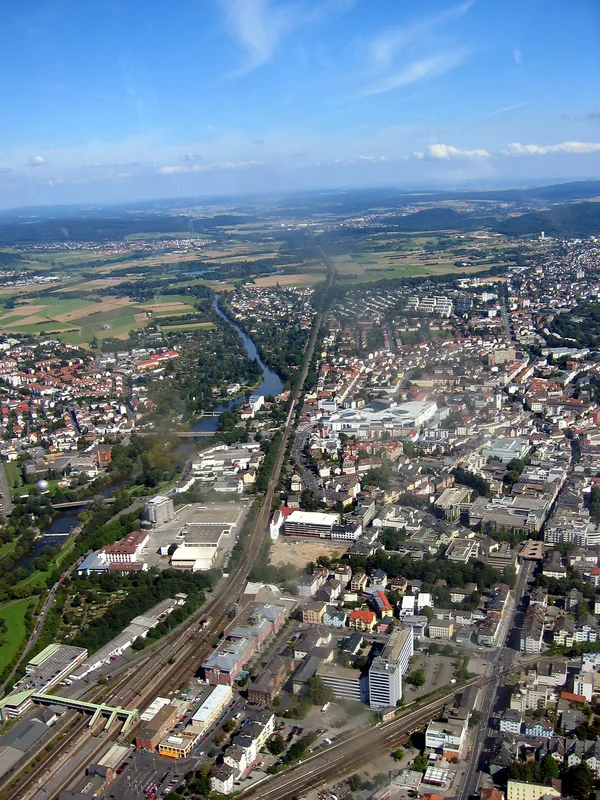
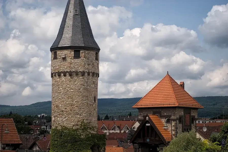
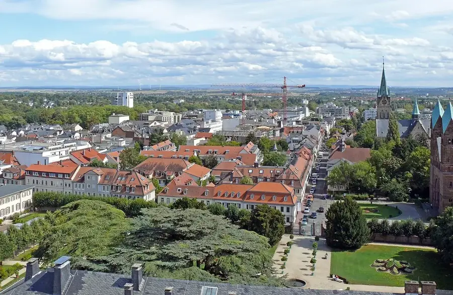
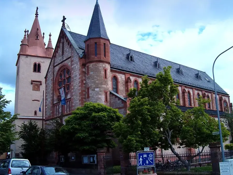
- Nearby: Bad Marienberg (11 km)
Best time to visit & climate
The most pleasant time to visit is Jun–Aug.
| Jan | Feb | Mar | Apr | May | Jun | Jul | Aug | Sep | Oct | Nov | Dec | |
|---|---|---|---|---|---|---|---|---|---|---|---|---|
| Avg °C | 0 | 1 | 4 | 9 | 13 | 16 | 19 | 18 | 14 | 9 | 4 | 1 |
| Rain mm | 71 | 57 | 56 | 47 | 74 | 68 | 76 | 73 | 57 | 60 | 68 | 77 |
📋 Practical info
Geography
Facts
- The Fuchskaute peak stands at 657 meters, making it the highest point of the range.
- The basalt plateau was created by volcanic eruptions approximately 25 million years ago.
- The Nister river, a major tributary of the Sieg, has its source in this highland region.
- The High Westerwald receives high annual precipitation, often exceeding 1000 mm.
- Basalt quarrying was historically the most significant industrial activity in the area.
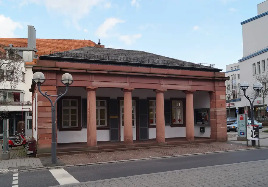
- Bad Marienberg is the primary center for health resorts and alpine tourism in the region.
Explore nearby
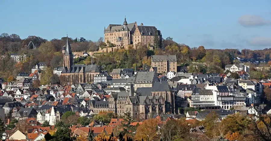
Notable places around
Route planner — Car & Motorhome
Where do you start? We build the route here, with stops and country notes along the way.
© OpenStreetMap contributors · OpenRouteService
Sights in the town High Westerwald (8)
Sights nearby
Frequently asked questions
Where is the highest point in the Westerwald?
What is the Westerwald-Steig?
Are there attractions for families?
What is the climate like in the High Westerwald?
Can you go skiing in the Westerwald in winter?
High Westerwald: where is it located?
High Westerwald: what is there to see?
High Westerwald: when is the best time to visit?
High Westerwald: why is it worth visiting?

Nearby cities