Plizio Visual Lab
Wimbachgries
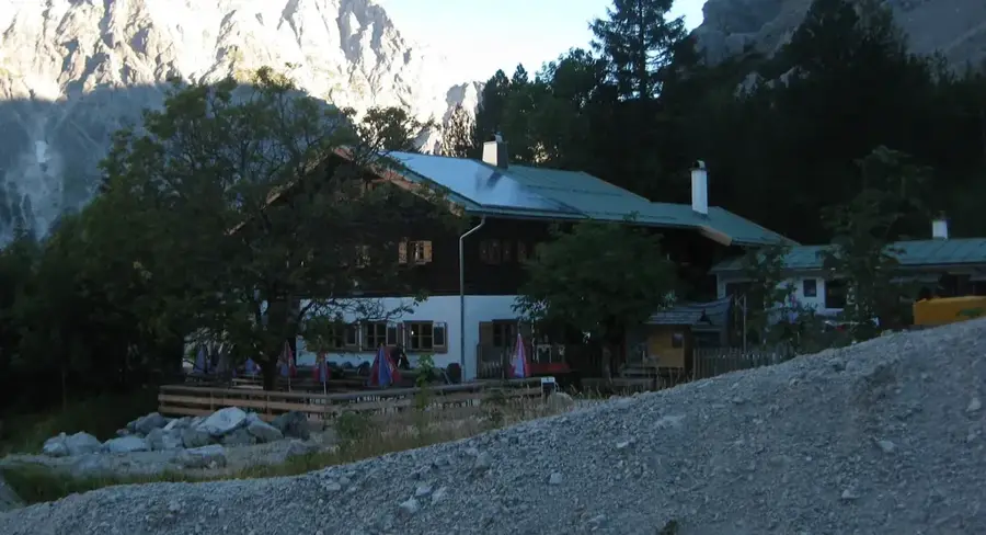
Wimbachgries is an impressive geological phenomenon in the Berchtesgaden National Park and extends as a massive debris flow over a length of about ten kilometers. It is a deeply cut high valley between the mountain massifs of the Watzmann and the Hochkalter, filled with a layer of limestone debris up to 300 meters thick. This debris originates from the constant erosion of the surrounding peaks and moves slowly down the valley. A special feature is that the Wimbach stream flows underground within the loose rock for long stretches and only emerges at the valley entrance in the spectacular Wimbachklamm gorge. The landscape of the Gries is barren and almost treeless, giving it an almost unreal, desert-like appearance. Hikers value the area for its unique geomorphology and pristine alpine nature. Wimbachgries serves scientists as a significant research site for studying erosion processes in the Alps.
- Location: Bavaria, Germany
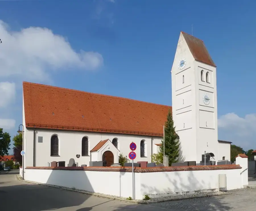
- Top sights: Nationalpark-Informationsstelle Hintersee "Klausbachhaus" · Schärtenspitze · Blaueisspitze
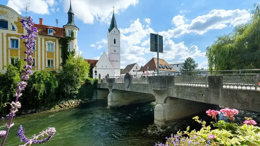
- Nearby: Berchtesgaden (11 km)
Best time to visit & climate
The most pleasant time to visit is Jun–Aug.
| Jan | Feb | Mar | Apr | May | Jun | Jul | Aug | Sep | Oct | Nov | Dec | |
|---|---|---|---|---|---|---|---|---|---|---|---|---|
| Avg °C | -5 | -4 | 0 | 5 | 10 | 14 | 15 | 15 | 11 | 7 | 1 | -3 |
| Rain mm | 91 | 72 | 89 | 85 | 151 | 176 | 184 | 184 | 135 | 102 | 76 | 82 |
📋 Practical info
Geography
Facts
- Debris flow length about 10 km
- Debris layer up to 300 m thick
- Located between Watzmann and Hochkalter
- Wimbach stream flows mostly underground
- Entrance via the Wimbachklamm gorge
- Part of Berchtesgaden National Park
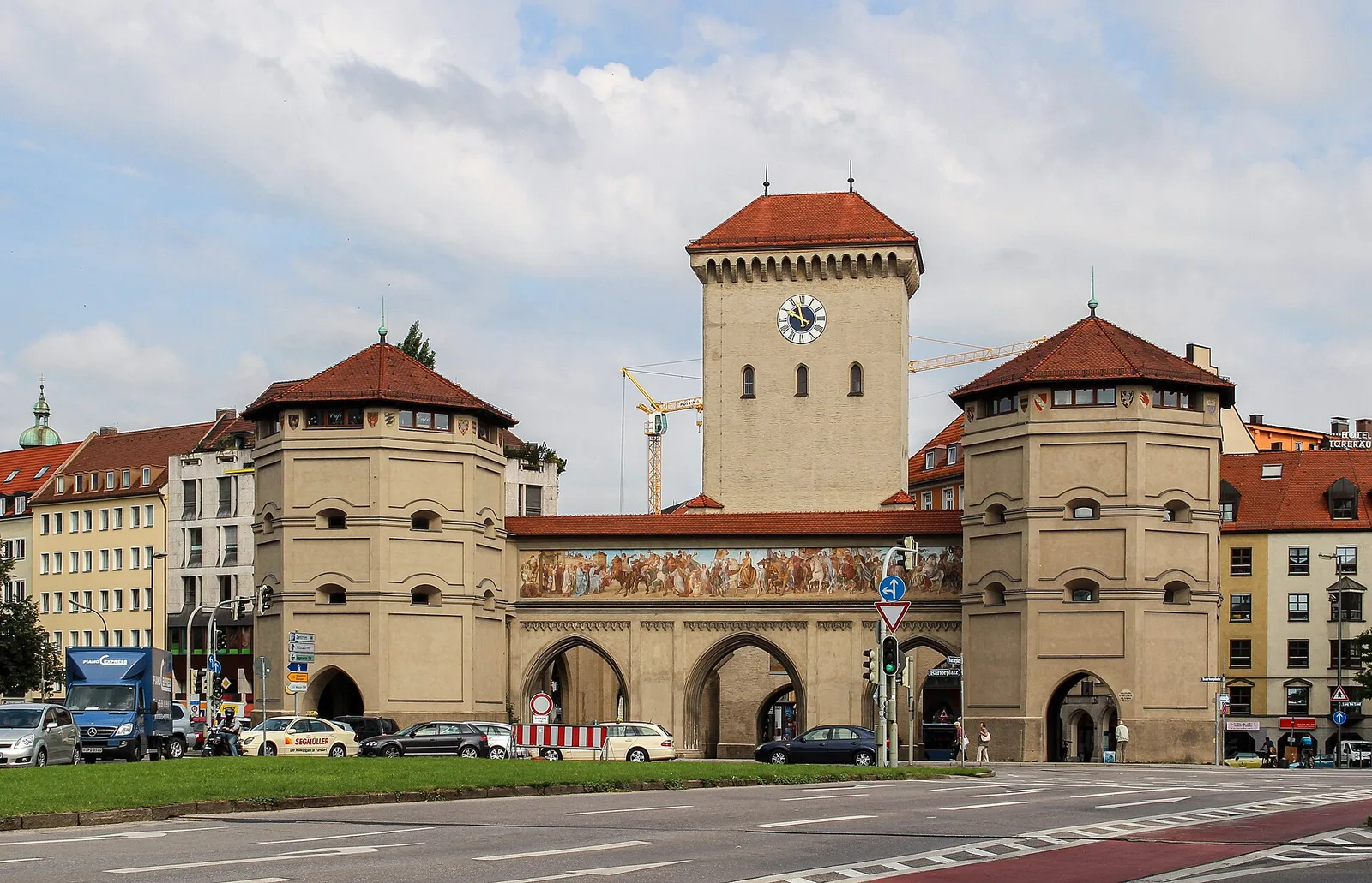
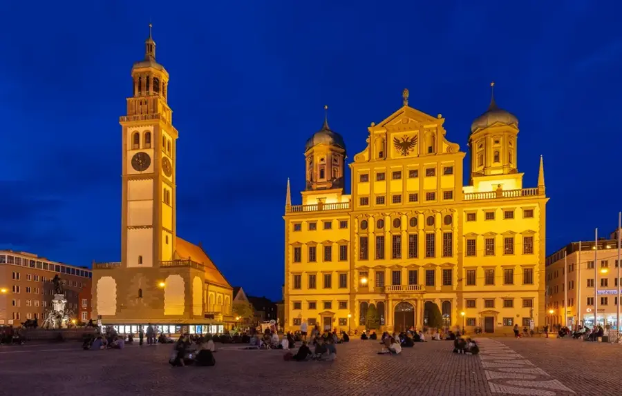
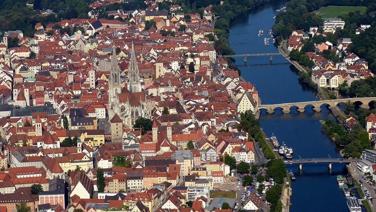
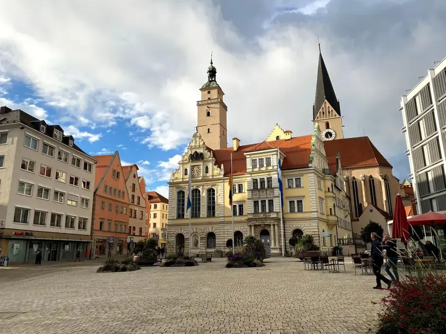
Explore nearby
Notable places around
Route planner — Car & Motorhome
Where do you start? We build the route here, with stops and country notes along the way.
© OpenStreetMap contributors · OpenRouteService
Sights in the town Wimbachgries (4)
Sights nearby
Frequently asked questions
What is the Wimbachgries?
How strenuous is the hike?
Do you have to pay for access?
Are there places to eat?
Where is the best place to park?
Wimbachgries: where is it located?
Wimbachgries: what is there to see?
Wimbachgries: when is the best time to visit?
Wimbachgries: why is it worth visiting?

Nearby cities