Plizio Visual Lab
Batokunku
ℹ️Practical info — Batokunku
▾
🌤 Weather — 5 days
📍 Nearby
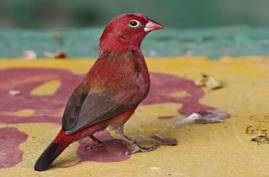
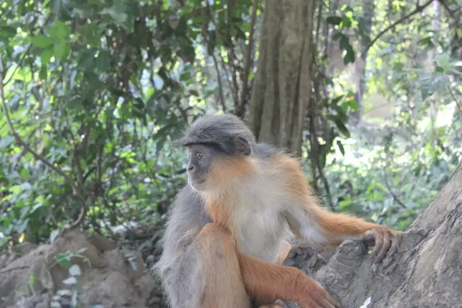
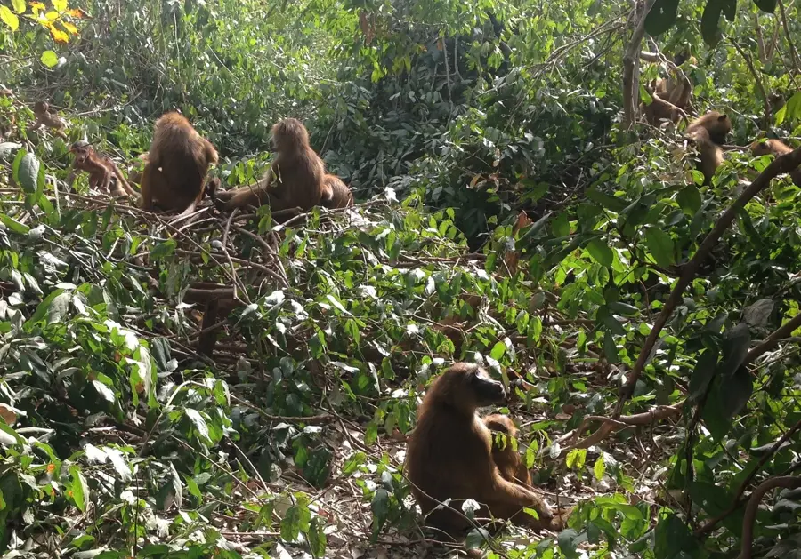
Sights nearby
💡 Tips
- Visit the beach early in the morning to watch the local fishermen bring in their catch.
- The village is home to a functioning wind turbine, a rarity in the region and a helpful landmark.
- Taxis from nearby tourist areas can drop you on the main road, but you'll need to walk a bit to reach the beach.
- Bring plenty of cash, as ATMs are practically non-existent in this quiet village.
- Sun protection is essential, as natural shade on the main beach is quite limited.
🍽 Food
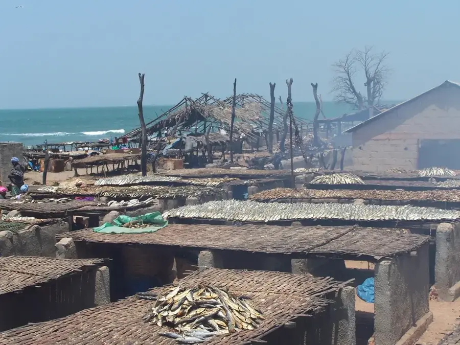
Look for small beachside shacks offering freshly grilled fish.
Try this local staple in family-run eateries near the main road.
Buy fresh baobab or wonjo juice from local street vendors.
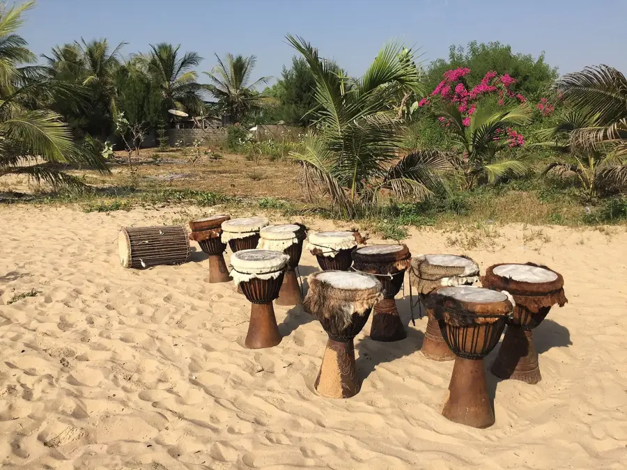
🛍 Shopping · 🧘 Quiet spots
Small stalls near the beach often sell handmade wooden carvings and jewelry.
Buy seasonal fruits like mangoes directly from village stalls.
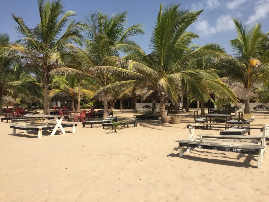
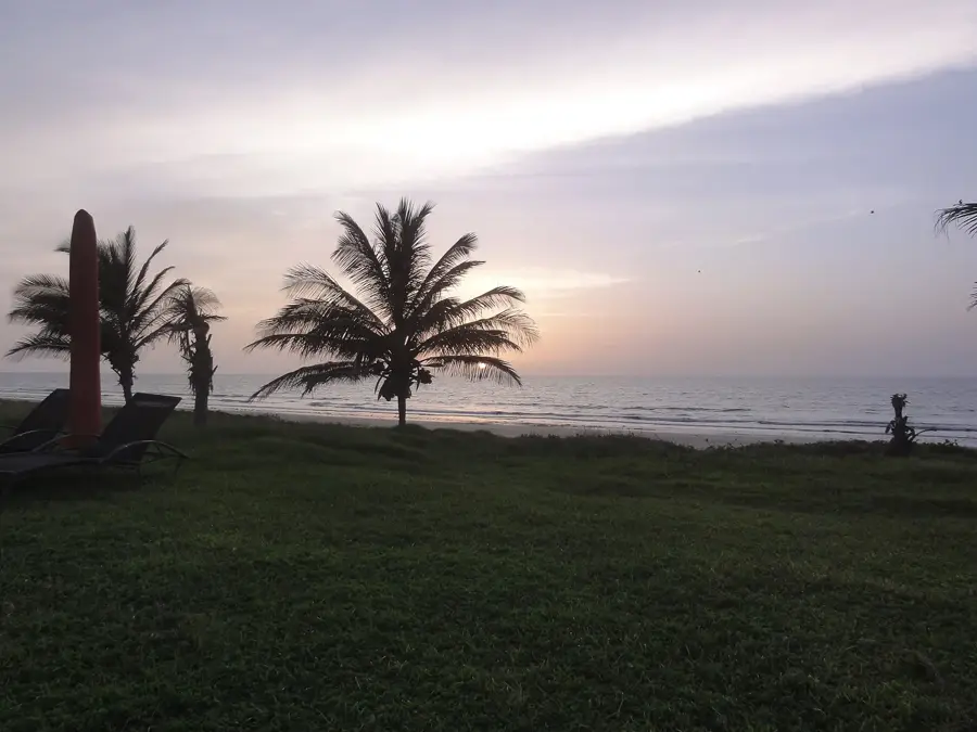
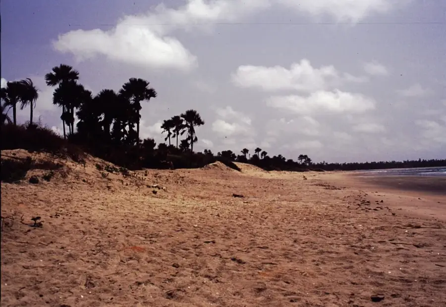
Enjoy miles of nearly empty, pristine sandy coastline.
A quiet spot for a peaceful stroll with a unique backdrop.
Water temperature…
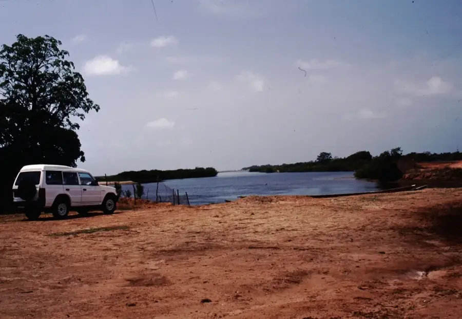
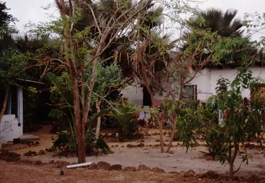
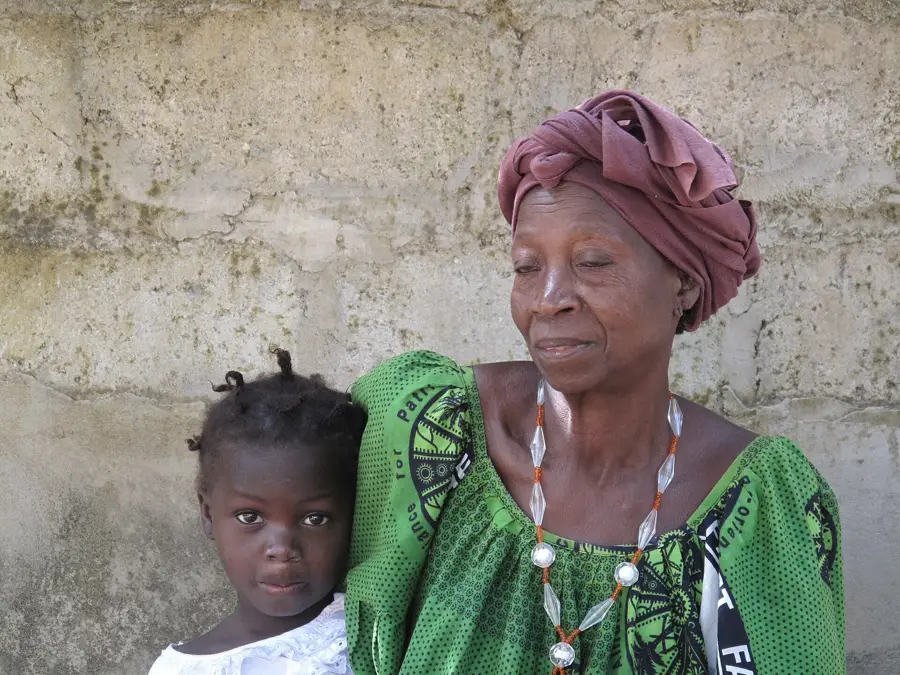
Batokunku is a pretty coastal village in the West Coast Region of The Gambia, situated between the larger settlements of Brufut and Tanji. Geographically, the village is noted for its pristine sandy beaches and slightly elevated coastline, which provides sweeping views of the Atlantic Ocean. Batokunku gained international recognition for a pioneering renewable energy project: in 2009, it became the site of the first large-scale wind turbine in The Gambia, providing the village with a sustainable and autonomous power supply. Historically a traditional fishing community, the area has recently seen an influx of eco-conscious travelers and expatriates drawn to its quiet environment. The local economy remains rooted in artisanal fishing and subsistence agriculture, supplemented by emerging ecotourism initiatives. The village's commitment to sustainable development and its tranquil atmosphere make it a model for rural community advancement in West Africa.
- Location: Gambia
- Nearby: Tanji (4 km)
- Population: ~8.866 (2023)
Best time to visit & climate
The most pleasant time to visit is Jan, Feb, Apr.
| Jan | Feb | Mar | Apr | May | Jun | Jul | Aug | Sep | Oct | Nov | Dec | |
|---|---|---|---|---|---|---|---|---|---|---|---|---|
| Avg °C | 23 | 23 | 23 | 23 | 24 | 26 | 27 | 27 | 28 | 28 | 27 | 25 |
| Rain mm | 3 | 2 | 16 | 4 | 3 | 45 | 169 | 290 | 224 | 67 | 6 | 2 |
Geography
Facts
- Batokunku became the site of Gambia's first 150 kW wind turbine in 2009.
- The wind energy project was a joint venture between a private German donor and the local community.
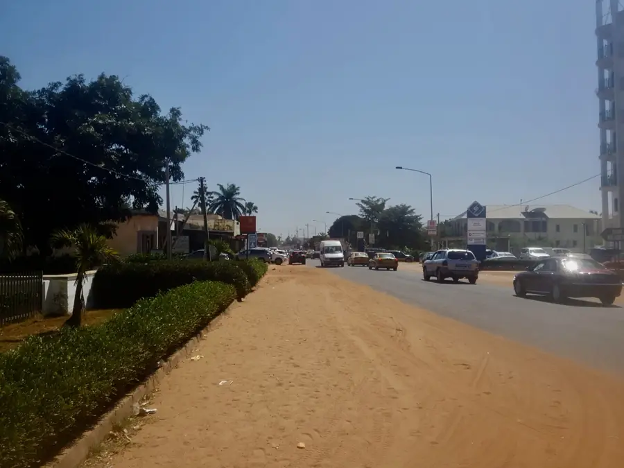
- The village is located along the strategically important South Atlantic Highway.
- Batokunku is celebrated for its unspoiled and relatively secluded beaches.
- The majority of the local residents belong to the Mandinka ethnic group.
- The community manages an innovative decentralized water and power distribution system.
Explore nearby
Notable places around
Route planner — Car & Motorhome
Where do you start? We build the route here, with stops and country notes along the way.
© OpenStreetMap contributors · OpenRouteService
Sights in the town Batokunku (1)
Frequently asked questions
Why should you visit Batokunku?
Are there restaurants on Batokunku beach?
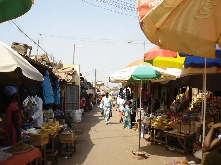
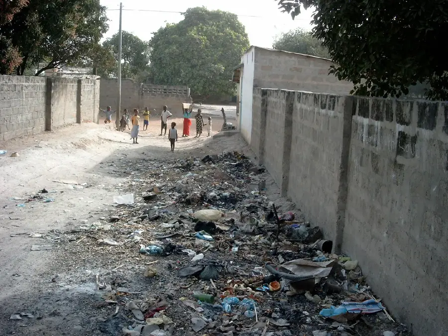
How is the local infrastructure?
Can you swim in Batokunku?
How do you get from Senegambia to Batokunku?
Batokunku: where is it located?
Batokunku: when is the best time to visit?
Batokunku: why is it worth visiting?

Nearby cities


History & landmarks

More places